Knolton
Settlement in Flintshire
Wales
Knolton
The requested URL returned error: 429 Too Many Requests
If you have any feedback on the listing, please let us know in the comments section below.
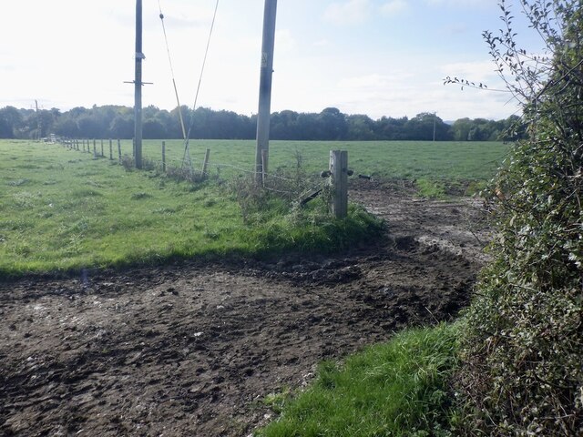
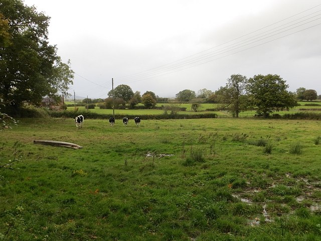
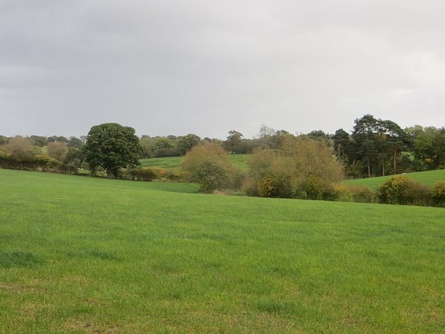
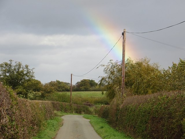
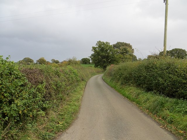
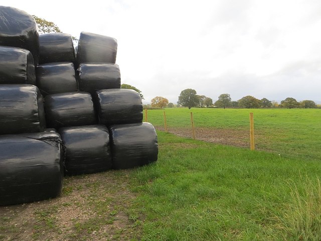
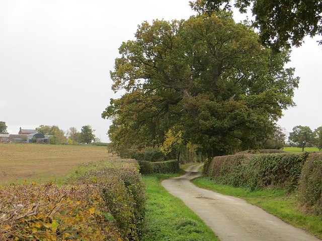
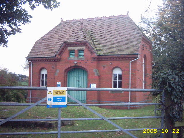
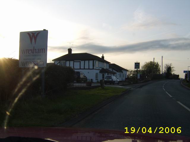
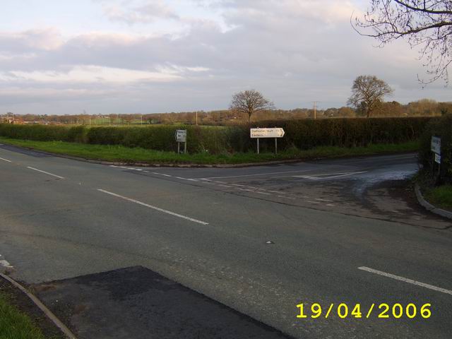
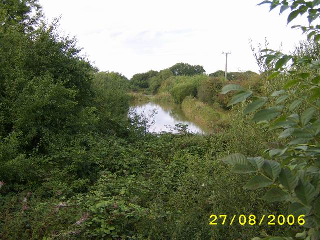
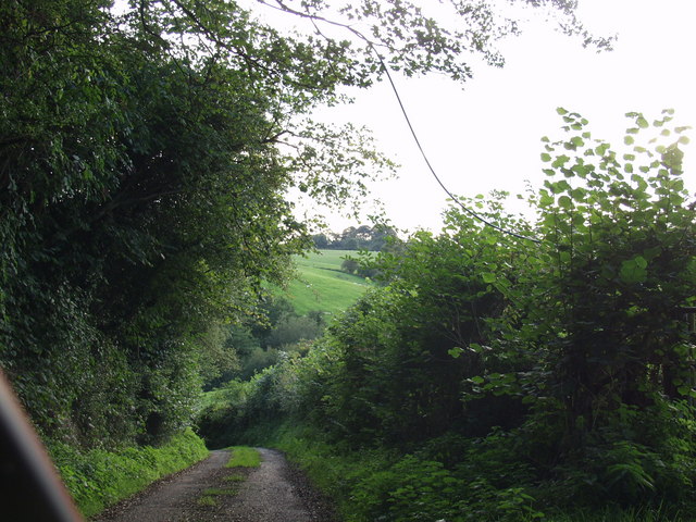
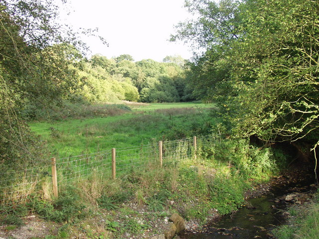
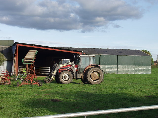
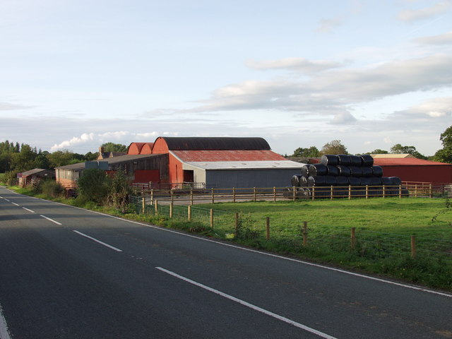
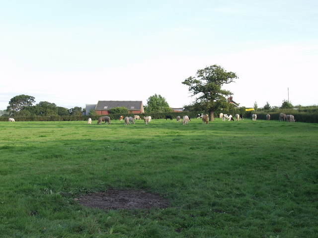
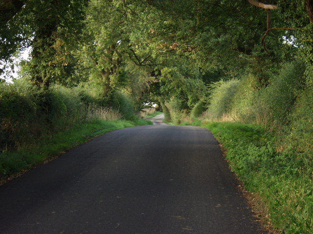
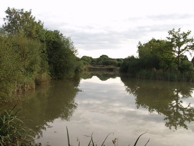
Knolton Images
Images are sourced within 2km of 52.942511/-2.92462 or Grid Reference SJ3738. Thanks to Geograph Open Source API. All images are credited.
Knolton is located at Grid Ref: SJ3738 (Lat: 52.942511, Lng: -2.92462)
Unitary Authority: Wrexham
Police Authority: North Wales
What 3 Words
///once.interests.curated. Near Overton, Wrexham
Nearby Locations
Related Wikis

Knolton
Knolton () is a hamlet in Wrexham County Borough, Wales, close to the border with Shropshire, England. It is in Overton parish, and is 5½ miles ENE of...

Trench Halt railway station
Trench Halt railway station was a station to the northwest of Dudleston Heath, Shropshire, England. The station was opened in 1914 and closed in 1962....
Overton-on-Dee railway station
Overton-on-Dee railway station was a station to the southeast of Overton-on-Dee, Wrexham, Wales at Lightwood Green. The station was opened on 2 November...

Dudleston Heath (Criftins)
Dudleston Heath (also referred to as Criftins) is a village in north-west Shropshire, England. It is located on the B5068 road between Ellesmere and St...
Nearby Amenities
Located within 500m of 52.942511,-2.92462Have you been to Knolton?
Leave your review of Knolton below (or comments, questions and feedback).