Knolls Green
Settlement in Cheshire
England
Knolls Green
The requested URL returned error: 429 Too Many Requests
If you have any feedback on the listing, please let us know in the comments section below.
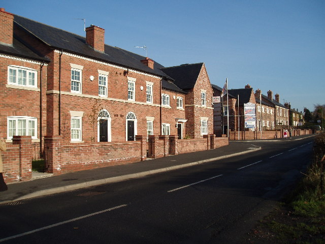
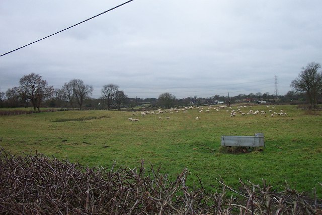
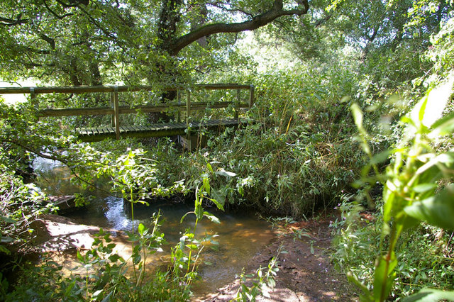
Knolls Green Images
Images are sourced within 2km of 53.311066/-2.3015712 or Grid Reference SJ8079. Thanks to Geograph Open Source API. All images are credited.


Knolls Green is located at Grid Ref: SJ8079 (Lat: 53.311066, Lng: -2.3015712)
Unitary Authority: Cheshire East
Police Authority: Cheshire
What 3 Words
///kidney.manager.present. Near Mobberley, Cheshire
Nearby Locations
Related Wikis

Newton Hall, Mobberley
Newton Hall is a country house east of the village of Mobberley, Cheshire, England. It was built between 1634 and 1676 for Francis Newton. Additions...
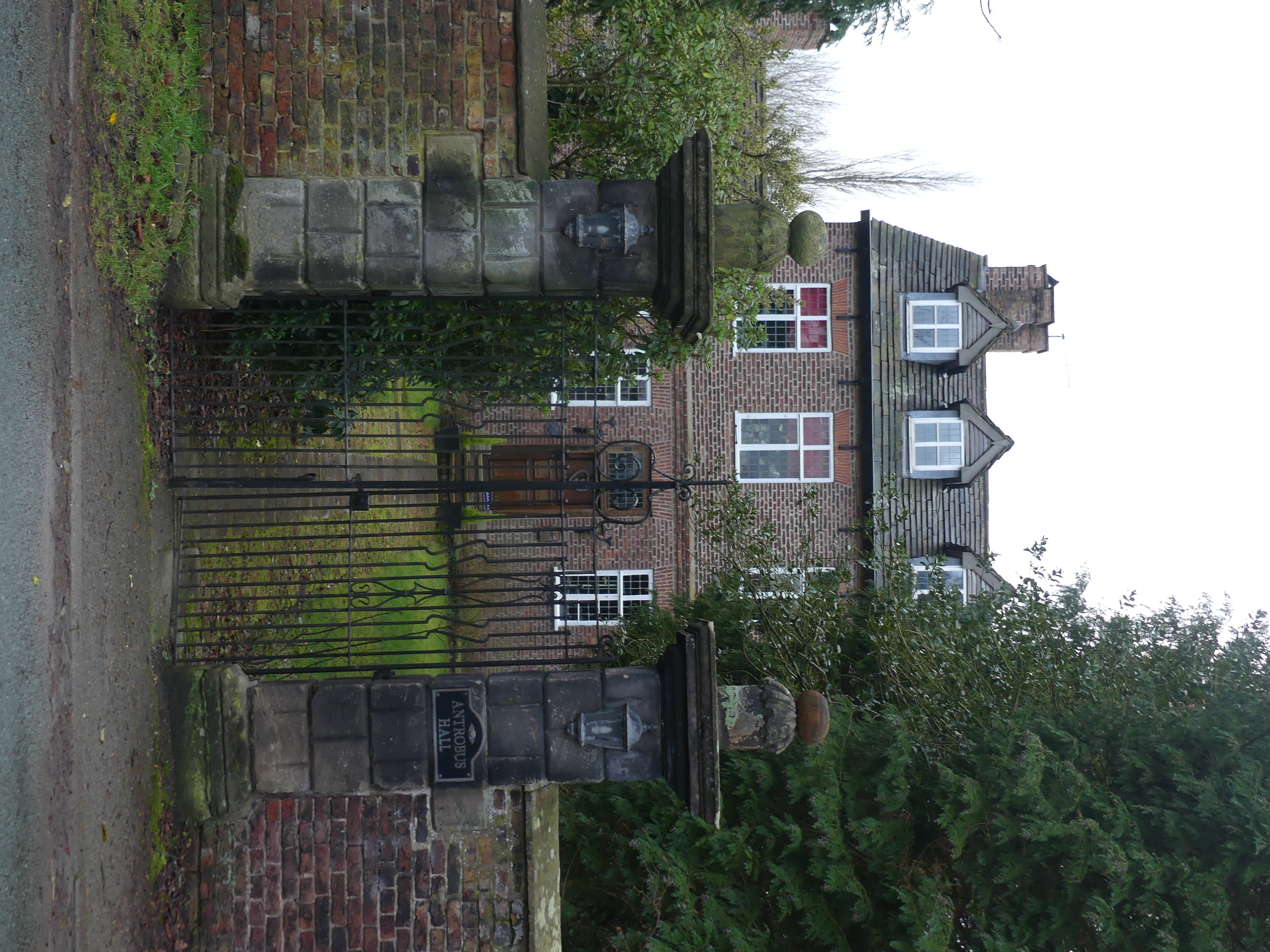
Antrobus Hall
Antrobus Hall is a country house in the village of Mobberley, Cheshire, England. It was built in 1709, and a wing was added in about 1760. It was built...

Mobberley Old Hall
The Old Hall is a country house in the village of Mobberley, Cheshire, England. It was built in 1612 and extended later in the 17th century. The house...

St Wilfrid's Church, Mobberley
St Wilfrid's Church stands to the north of the village of Mobberley, Cheshire, England. The church is recorded in the National Heritage List for England...
Nearby Amenities
Located within 500m of 53.311066,-2.3015712Have you been to Knolls Green?
Leave your review of Knolls Green below (or comments, questions and feedback).