Abshot
Settlement in Hampshire Fareham
England
Abshot
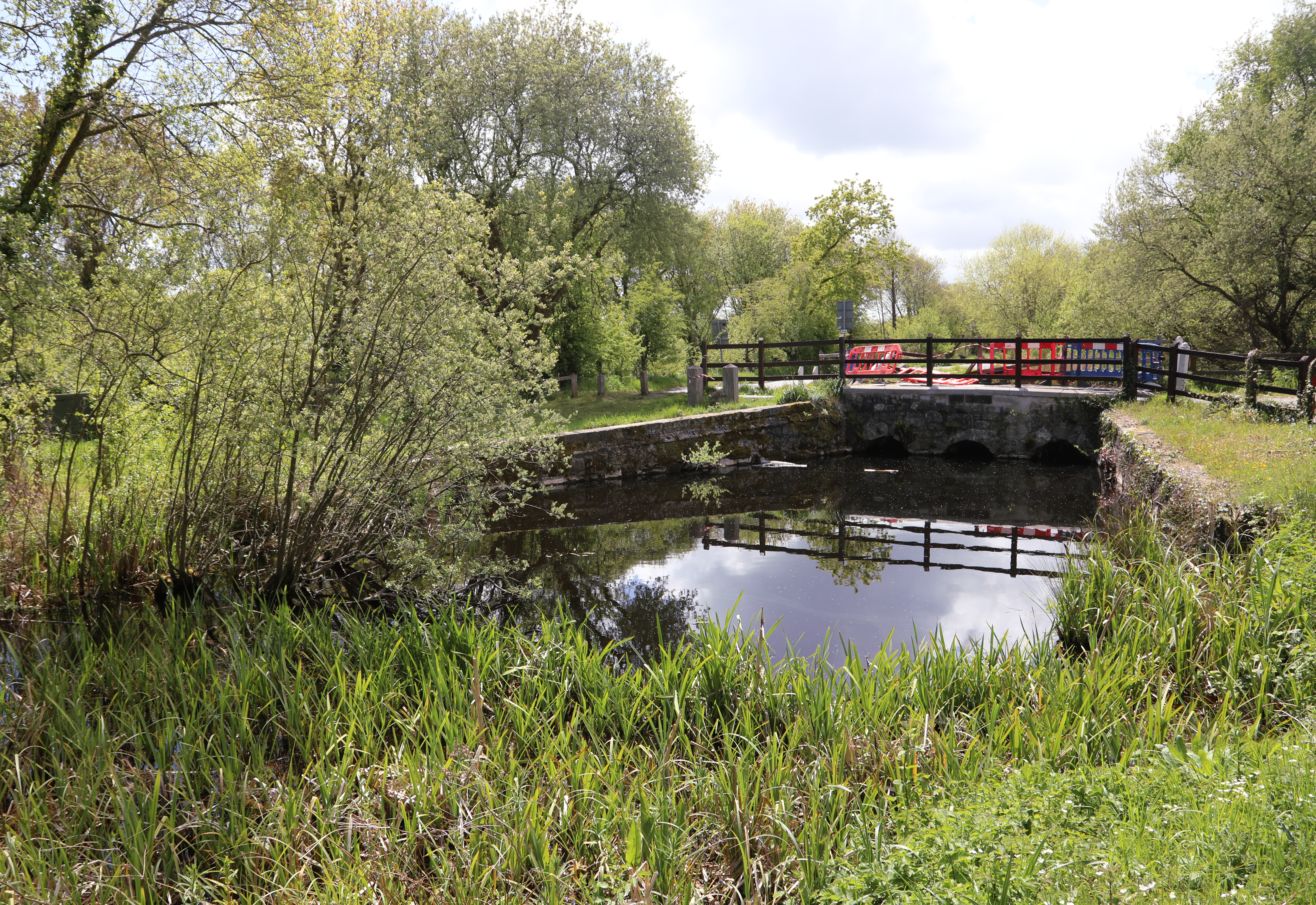
Abshot is a small village located in the county of Hampshire, England. Situated in the borough of Fareham, it is nestled in a rural area surrounded by beautiful countryside and picturesque landscapes. The village is conveniently located just a short distance from both Fareham and Southampton, offering residents easy access to amenities and transport links.
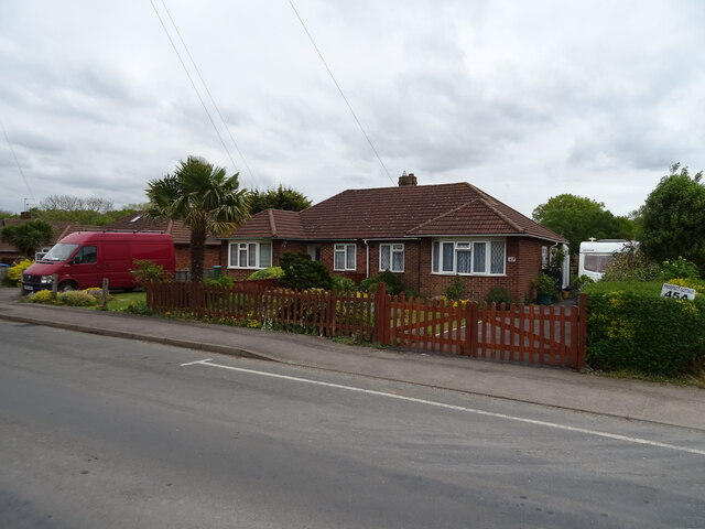
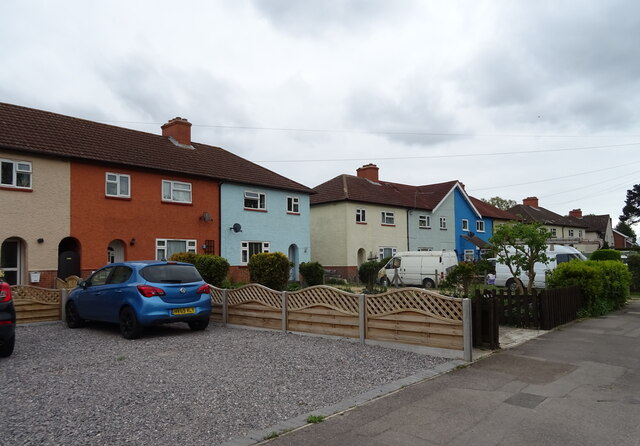
This quaint village is known for its peaceful and tranquil atmosphere, making it an ideal place for those seeking a quiet and idyllic lifestyle. The area features a mix of residential properties, including charming cottages and modern houses, providing a range of housing options for its residents.
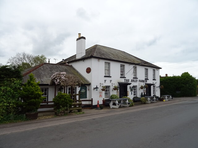
Despite its small size, Abshot offers a variety of amenities to cater to the needs of its residents. There is a local pub that serves traditional British food and drinks, as well as a village hall that hosts community events and activities throughout the year. Additionally, the village is surrounded by several parks and green spaces, providing ample opportunities for outdoor activities and leisurely walks.
Abshot is also in close proximity to popular attractions and facilities. The nearby Solent Breezes Holiday Park offers a range of recreational activities, including fishing, boating, and stunning coastal walks. The village is also conveniently located near the M27 motorway, providing easy access to the wider Hampshire region and beyond.
Overall, Abshot is a charming village that offers a peaceful and rural lifestyle while still providing easy access to amenities and attractions in the surrounding areas.
If you have any feedback on the listing, please let us know in the comments section below.
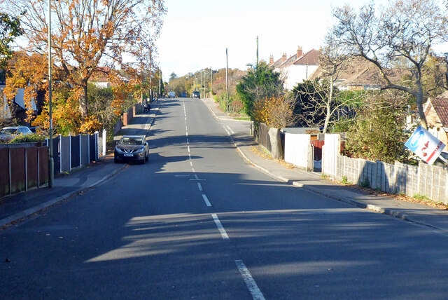
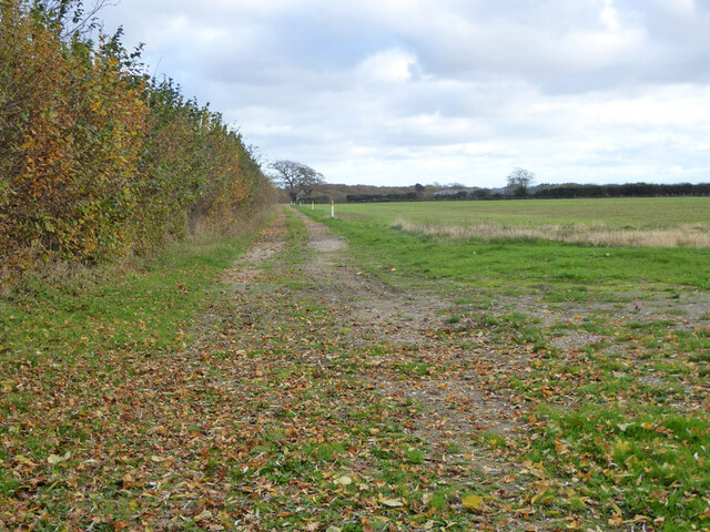
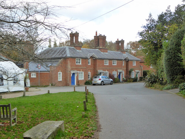
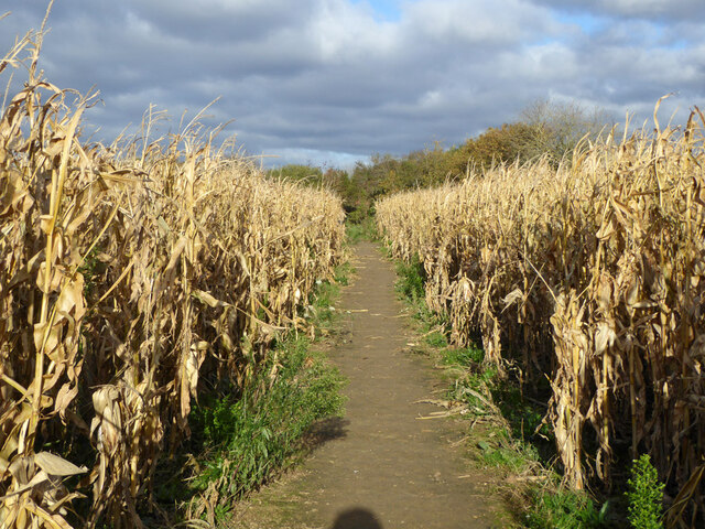
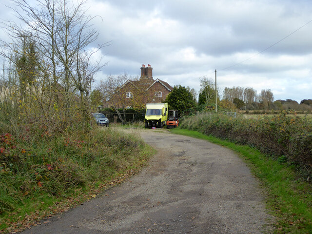
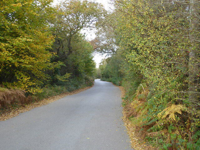
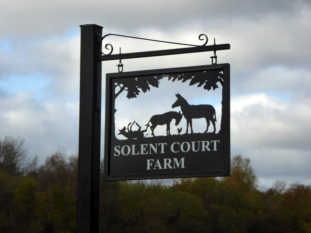
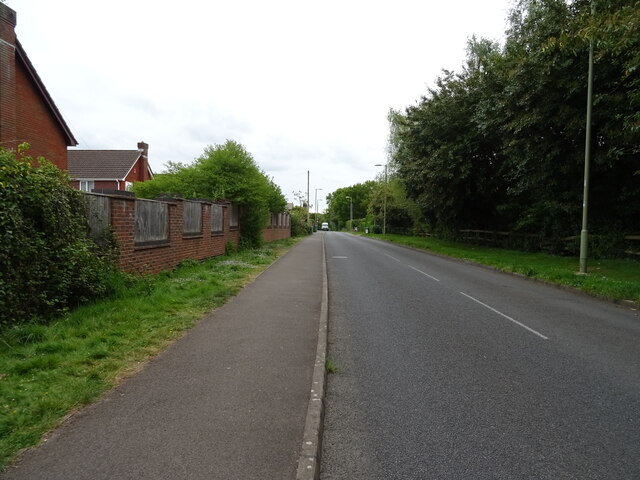
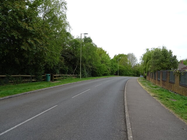
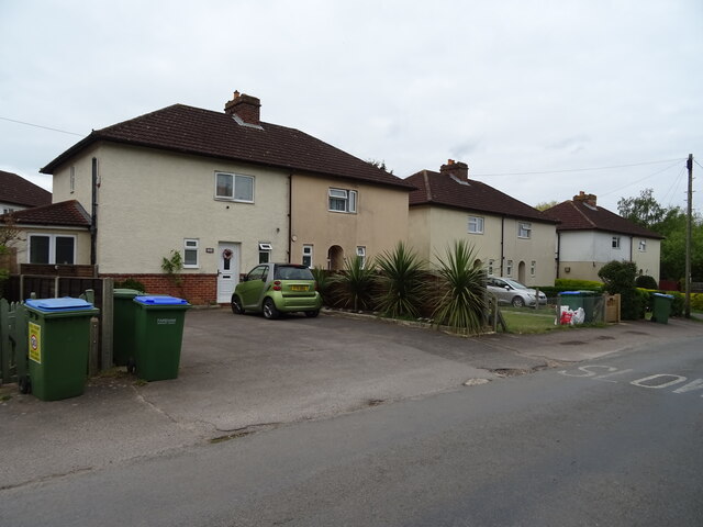
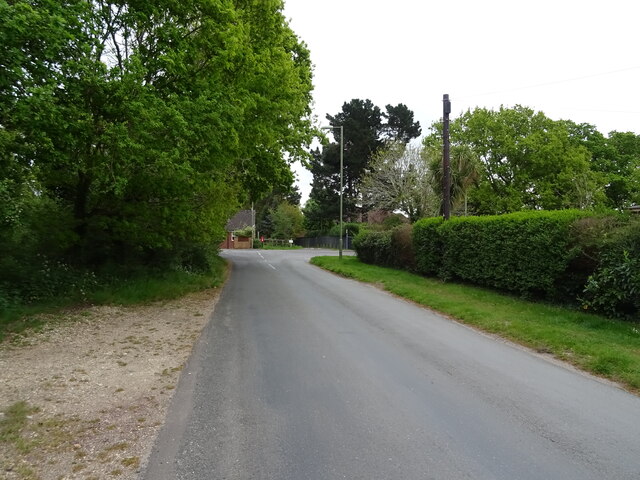
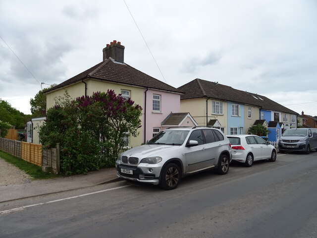
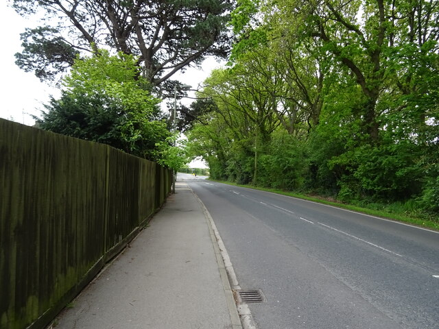
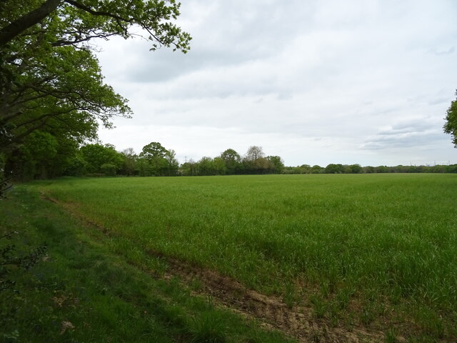
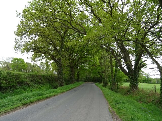
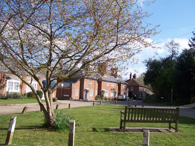
Abshot Images
Images are sourced within 2km of 50.847403/-1.265975 or Grid Reference SU5105. Thanks to Geograph Open Source API. All images are credited.
Abshot is located at Grid Ref: SU5105 (Lat: 50.847403, Lng: -1.265975)
Administrative County: Hampshire
District: Fareham
Police Authority: Hampshire
What 3 Words
///crisper.debate.diplomats. Near Hamble-le-Rice, Hampshire
Related Wikis

Locks Heath F.C.
Locks Heath Football Club is a football club based in Fareham suburb of Locks Heath, Hampshire, England. The club is affiliated to the Hampshire Football...
Hook, Fareham
Hook is a hamlet and former civil parish in the Fareham district, in south Hampshire, England. The parish of Hook, sometimes known as Hook-with-Warsash...
Abshot
Abshot is a hamlet in Hampshire, England. Abshot is situated on the eastern side of Southampton Water. == References ==
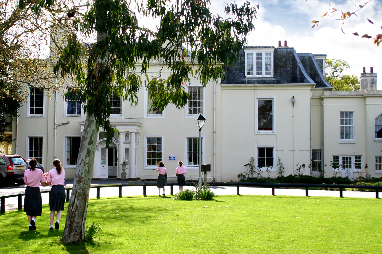
West Hill Park School
West Hill Park School is an independent, coeducational, day and boarding school for boys and girls aged 3 years to 13 years. It is situated in Fareham...
Locks Heath
Locks Heath is a residential suburb of Fareham, in the south of Hampshire, England. Locks Heath is immediately surrounded by a collection of villages...
Park Gate
Park Gate is a village and civil parish in the Borough of Fareham in Hampshire, England. It borders Locks Heath to the south, Segensworth to the east and...
Titchfield Carnival
Titchfield Carnival is an annual event that has been held in Titchfield, Hampshire, England, every year since 1880 onwards, except during World War I and...
Titchfield Canal
The Titchfield Canal is a two-mile watercourse between the village of Titchfield, Hampshire, and the coast at Titchfield Haven adjacent to the modern...
Nearby Amenities
Located within 500m of 50.847403,-1.265975Have you been to Abshot?
Leave your review of Abshot below (or comments, questions and feedback).