Abronhill

Settlement in Dunbartonshire

Scotland

Abronhill

Cumbernauld, Walton Burn Flowing through a gully next to Abronhill's ring road a fairly wide burn. Note the ochre seeping from the sandstone.
Cumbernauld, Walton Burn Credit: Robert Murray

Abronhill is a residential area located in Dunbartonshire, Scotland. Situated approximately 7 miles north-east of the town of Cumbernauld, it is a part of the larger Cumbernauld area. Abronhill is bordered by the A8011 road to the east and the A73 road to the south, providing convenient access to surrounding areas.

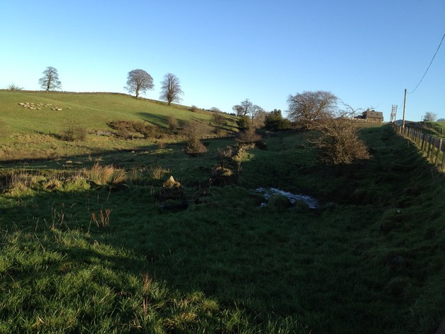
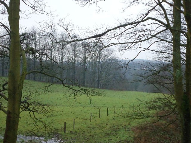
Originally built in the 1960s as a response to the post-war housing shortage, Abronhill was designed as a housing estate to accommodate the growing population. The area features a mix of housing types, including high-rise flats, terraced houses, and semi-detached homes. It is known for its green spaces and parks, providing residents with ample opportunities for outdoor activities and recreation.

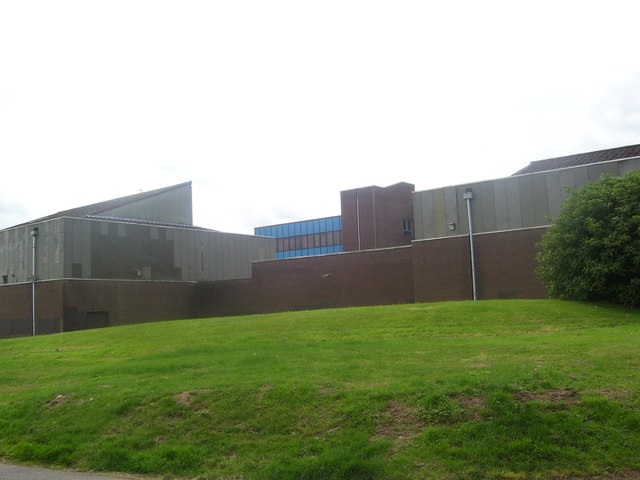
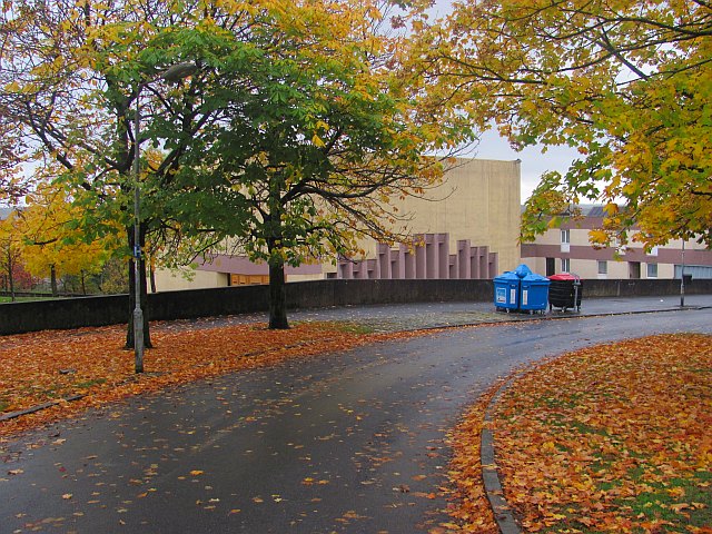
The community of Abronhill is served by a variety of amenities, including a primary school, a community center, and several local shops and services. The area also benefits from a well-connected public transport network, with regular bus services to neighboring areas and the Cumbernauld town center.

Despite its peaceful residential character, Abronhill has faced some social and economic challenges over the years. Efforts have been made to revitalize the area, including regeneration projects aimed at improving housing, infrastructure, and community facilities. These initiatives seek to enhance the quality of life for residents and attract further investment to the area.

Overall, Abronhill offers a pleasant and convenient place to live, with a range of amenities and easy access to surrounding areas. Its ongoing regeneration efforts are aimed at ensuring a prosperous future for this Dunbartonshire community.

If you have any feedback on the listing, please let us know in the comments section below.

Abronhill Images

Images are sourced within 2km of 55.958026/-3.94863 or Grid Reference NS7875. Thanks to Geograph Open Source API. All images are credited.

Cumbernauld, Walton Burn Flowing through a gully next to Abronhill's ring road a fairly wide burn. Note the ochre seeping from the sandstone.
Cumbernauld, Walton Burn
Flowing through a gully next to Abronhill's ring road a fairly wide burn. Note the ochre seeping from the sandstone.
Glencryan Mines, subsidence Ground subsidence flooded.
Glencryan Mines, subsidence
Ground subsidence flooded.
Cumbernauld House (under development) No longer can you wander around the immediate perimeter of 
Cumbernauld House without "trespassing!"
Cumbernauld House (under development)
No longer can you wander around the immediate perimeter of Cumbernauld House without "trespassing!"
New Trees, Forest Wood Part of this clearing has recently been planted with new saplings.
The trees on the left are around 30 years old (I counted the rings on 
one which had fallen during recent high winds and had been sawn up)
and must be due for felling.
New Trees, Forest Wood
Part of this clearing has recently been planted with new saplings. The trees on the left are around 30 years old (I counted the rings on one which had fallen during recent high winds and had been sawn up) and must be due for felling.
Reservoir near Palacerigg A (no longer used) reservoir in Palacerigg Country Park.
Reservoir near Palacerigg
A (no longer used) reservoir in Palacerigg Country Park.
Cumbernauld House (under development) The west pavilions as they look Sept 2011.
See <a title="www.geograph.org.uk/photo/1591441" href="https://www.geograph.org.uk/photo/1591441">Link</a> for comparison.
Note the new position of the sundial (centre of picture).
This is actually quite close to where the sundial was
originally placed hundreds of years ago. 
For more info on the sundial see <a title="www.geograph.org.uk/photo/1573063" href="https://www.geograph.org.uk/photo/1573063">Link</a>
Cumbernauld House (under development)
The west pavilions as they look Sept 2011. See Link for comparison. Note the new position of the sundial (centre of picture). This is actually quite close to where the sundial was originally placed hundreds of years ago. For more info on the sundial see Link
The Wynd, Cumbernauld Older houses and buildings in The Village.  All new towns have older communities hidden within them.
The Wynd, Cumbernauld
Older houses and buildings in The Village. All new towns have older communities hidden within them.
The Village The Dunbartonshire village of Cumbernauld was situated on the junction of the A73 and A80, but otherwise in a rural setting.  It is now an old bit lost just off the M80 motorway deep inside the large new town which has taken its name.
The Village
The Dunbartonshire village of Cumbernauld was situated on the junction of the A73 and A80, but otherwise in a rural setting. It is now an old bit lost just off the M80 motorway deep inside the large new town which has taken its name.
Wardpark South Industrial Estate Wardpark is an industrial estate built on either side of the A80, now the M80 in the north of Cumbernauld. There was once a farm here called Wardpark.
Wardpark South Industrial Estate
Wardpark is an industrial estate built on either side of the A80, now the M80 in the north of Cumbernauld. There was once a farm here called Wardpark.
Wardpark South Industrial Estate Junction of Wardpark Road and Wardpark Place in the industrial estate. Wardpark was a farm before Cumbernauld new town.
Wardpark South Industrial Estate
Junction of Wardpark Road and Wardpark Place in the industrial estate. Wardpark was a farm before Cumbernauld new town.
Birkenburn Road A residential area in Cumbernauld.
Birkenburn Road
A residential area in Cumbernauld.
M80, Approaching Junction 6 Approaching junction 6 on the southbound M80 (formerly the A80), near Cumbernauld.
M80, Approaching Junction 6
Approaching junction 6 on the southbound M80 (formerly the A80), near Cumbernauld.
Remains of old road, crossing Walton road This road leads to rubble, which could be an old farm stead or perhaps Roman. It would have connected to a road which leads to Castlecary cottage. Roman fort nearby.
Remains of old road, crossing Walton road
This road leads to rubble, which could be an old farm stead or perhaps Roman. It would have connected to a road which leads to Castlecary cottage. Roman fort nearby.
Castlecary castle This castle was built using stone from nearby Roman fort. The yew tree in the right hand side was planted by Mary queen of Scots.
Castlecary castle
This castle was built using stone from nearby Roman fort. The yew tree in the right hand side was planted by Mary queen of Scots.
Perimeter wall of Castlecary cottage Old stone Dyke wall.
Perimeter wall of Castlecary cottage
Old stone Dyke wall.
Castlecary Yew tree This tree was planted by Mary Queen of Scots.
Castlecary Yew tree
This tree was planted by Mary Queen of Scots.
Walton, farmland A little burn flows through this fold in the land, it originates from the drainage ditches in Castlecary Low Wood plantation and empties into the Red Burn in Castle Glen.
Walton, farmland
A little burn flows through this fold in the land, it originates from the drainage ditches in Castlecary Low Wood plantation and empties into the Red Burn in Castle Glen.
Walton View toward Castle Glen.
Walton
View toward Castle Glen.
Show me another place!

Abronhill is located at Grid Ref: NS7875 (Lat: 55.958026, Lng: -3.94863)

Unitary Authority: North Lanarkshire

Police Authority: Lanarkshire

What 3 Words

///pirate.strict.buck. Near Cumbernauld, North Lanarkshire

Nearby Locations

Glenhead Wood Abronhill

Related Wikis

Abronhill High School

Abronhill High School was a non-denominational, comprehensive, secondary school in Abronhill, a suburb of the Scottish new town of Cumbernauld. The school...

Abronhill

Abronhill () is an area in the north-east of Cumbernauld, North Lanarkshire, Scotland. It extends one to two miles (two to three kilometres) from Cumbernauld...

Cumbernauld Castle

Cumbernauld Castle was the predecessor of Cumbernauld House in the Park in Cumbernauld. The Motte of the earliest castle survives, and stones of the second...

Cumbernauld House

Cumbernauld House is an 18th-century Vivido Scottish country house located in Cumbernauld, Scotland. It is located near in the Cumbernauld Glen, close...

Kildrum

Kildrum was the first area to be constructed in Cumbernauld new town, North Lanarkshire, Scotland. It provided housing for the workers at the Burroughs...

Cumbernauld Academy

Cumbernauld Academy (formerly Cumbernauld High School) was the first comprehensive secondary school in the then 'New Town' of Cumbernauld. It was designed...

Wardpark

Wardpark is an industrial estate in Cumbernauld, Scotland split by the M80 motorway. The former Burroughs factory, the first factory of Cumbernauld new...

Castle Cary Castle

Castle Cary Castle (sometimes called Castlecary Castle) is a fifteenth-century tower house, about 6 miles (10 km) from Falkirk, in the former county...

Nearby Amenities

Located within 500m of 55.958026,-3.94863
Abronhill
Created By: Potlatch 0.10f
Is In: Cumbernauld
Place: suburb
Lat/Long: 55.9595726/-3.953755
Post Box
Lat/Long: 55.962438/-3.9474535
Atm
Clydesdale Bank - ATM
Addr Housenumber: 16
Addr Street: Larch Road
Lat/Long: 55.959534/-3.9541579
Post Office
Abronhill Post Office
Addr Housenumber: 14
Addr Street: Pine Road
Lat/Long: 55.9595251/-3.9542627
Spar
Addr Housenumber: 16
Addr Postcode: G67 3AZ
Addr Street: Larch Road
Brand: Spar
Brand Wikidata: Q610492
Brand Wikipedia: en:Spar (retailer)
Shop: convenience
Source: survey
Lat/Long: 55.9596069/-3.9541982
Bus Stop
Abronhill, Larch Road after Larch Grove
Bus: yes
Departures Board: timetable
Naptan AtcoCode: 61601339
Naptan NaptanCode: 65234782
Public Transport: platform
Shelter: yes
Lat/Long: 55.9593336/-3.9548985
Historic Power: tower
Source: NLS - OS 1:25k 1st Series 1937-61
Lat/Long: 55.957201/-3.9461725
Power: pole
Lat/Long: 55.9575513/-3.9433354
Power: pole
Lat/Long: 55.9568865/-3.9427751
Power: pole
Lat/Long: 55.9562498/-3.9422355
Crossing
Lat/Long: 55.955223/-3.9488001
Crossing
Lat/Long: 55.9561814/-3.9495907
Crossing
Lat/Long: 55.9549654/-3.9511632
Bus Stop
Abronhill, Moss Road before Oak Road
Bus: yes
Departures Board: timetable
Naptan AtcoCode: 61601337
Naptan NaptanCode: 65232967
Public Transport: platform
Shelter: yes
Lat/Long: 55.9573512/-3.9500001
Bus Stop
Abronhill, Moss Road opp Oak Road
Bus: yes
Departures Board: timetable
Naptan AtcoCode: 61601338
Naptan NaptanCode: 65234627
Public Transport: platform
Shelter: yes
Lat/Long: 55.9569378/-3.9504104
Bus Stop
Abronhill, Moss Road opp Hawthorn Road
Bus: yes
Departures Board: timetable
Naptan AtcoCode: 61601335
Naptan NaptanCode: 65236565
Public Transport: platform
Shelter: yes
Lat/Long: 55.9589249/-3.9469452
Bus Stop
Abronhill, Moss Road by Gean Court
Bus: yes
Departures Board: timetable
Naptan AtcoCode: 61601336
Naptan NaptanCode: 65235858
Public Transport: platform
Shelter: yes
Lat/Long: 55.9585242/-3.9473535
Bus Stop
Abronhill, Moss Road before Almond Road
Bus: yes
Departures Board: timetable
Naptan AtcoCode: 61601333
Naptan NaptanCode: 65235264
Public Transport: platform
Shelter: yes
Lat/Long: 55.9603646/-3.944759
Bus Stop
Abronhill, Moss Road opp Elm Drive
Bus: yes
Departures Board: timetable
Naptan AtcoCode: 61601334
Naptan NaptanCode: 65235235
Public Transport: platform
Shelter: yes
Lat/Long: 55.9599039/-3.9448983
The data included in this document is from www.openstreetmap.org. The data is made available under ODbL.

Have you been to Abronhill?

Leave your review of Abronhill below (or comments, questions and feedback).