Hook
Settlement in Hampshire Fareham
England
Hook

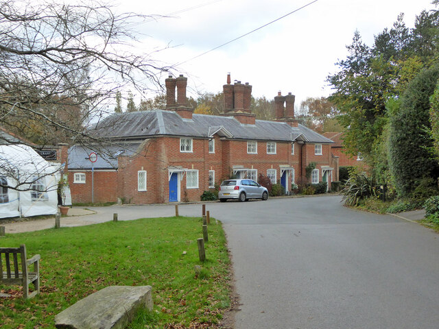
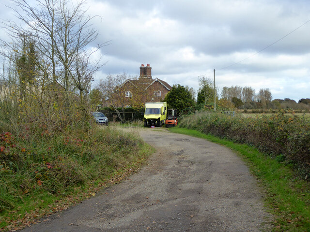
Hook is a charming village located in the Hart district of Hampshire, England. Situated approximately 6 miles east of Basingstoke, it is a thriving community that offers a perfect blend of rural tranquility and easy access to urban amenities.
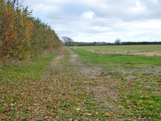
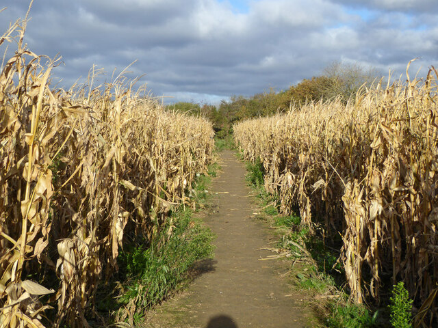
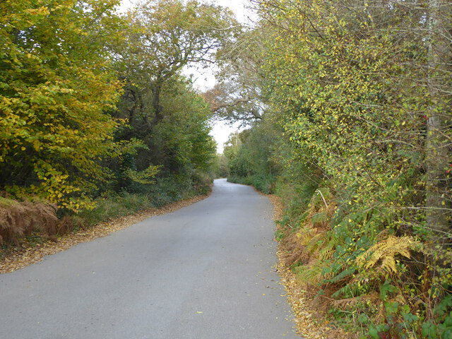
The village is known for its picturesque surroundings, with rolling countryside and beautiful landscapes that provide ample opportunities for outdoor activities, such as walking, cycling, and horse riding. Hook is surrounded by several nature reserves and green spaces, including Bartley Heath and Hook Common, which are popular among nature enthusiasts.
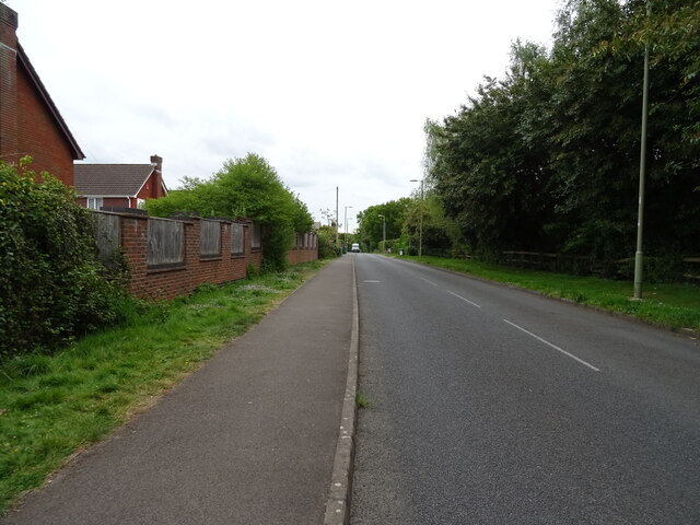
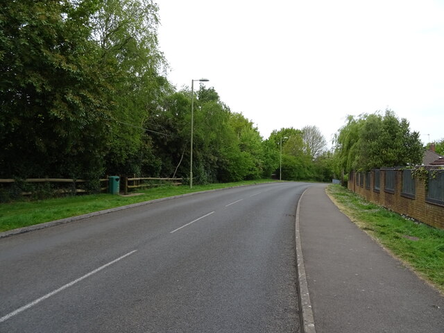
Despite its rural setting, Hook boasts excellent transport links. The village is conveniently located near the M3 motorway, providing easy access to London and other major cities. Additionally, the nearby Hook train station offers regular services to London Waterloo and other destinations.
Hook has a range of amenities to cater to its residents' needs. The village center features a mix of independent shops, restaurants, and cafes, as well as essential services like a post office, a pharmacy, and a supermarket. There are also several schools in the area, making it an attractive location for families.
The community in Hook is vibrant and active, with various clubs and societies catering to different interests. The village hosts a variety of events throughout the year, including a summer festival and a Christmas market, fostering a sense of community spirit and engagement.
Overall, Hook offers the best of both worlds, combining the tranquility of rural living with the convenience of nearby urban facilities. It is a sought-after destination for those looking for a peaceful and picturesque place to call home.
If you have any feedback on the listing, please let us know in the comments section below.
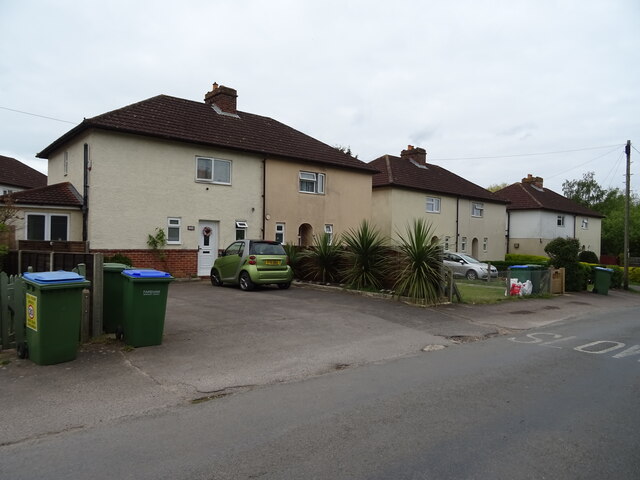
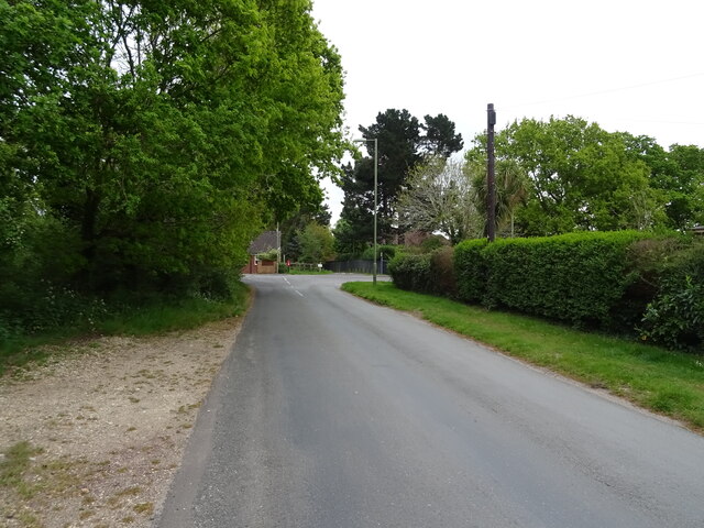
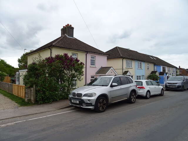
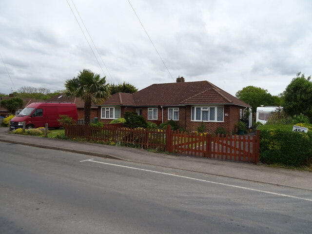
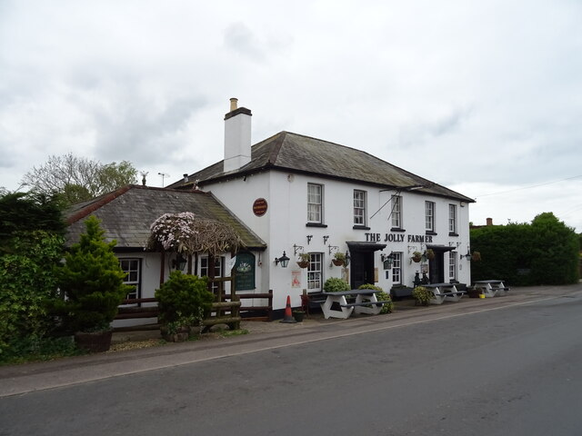
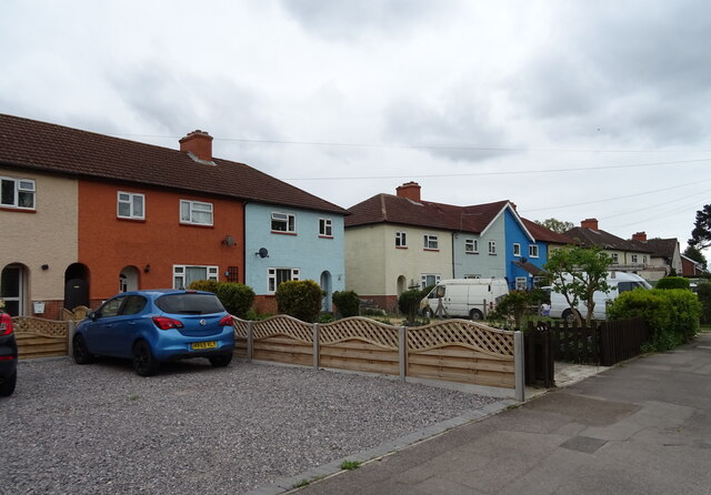
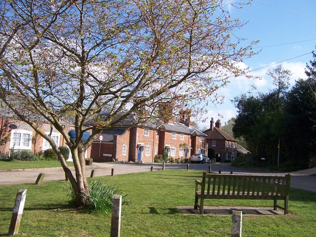
Hook Images
Images are sourced within 2km of 50.844557/-1.276715 or Grid Reference SU5105. Thanks to Geograph Open Source API. All images are credited.


Hook is located at Grid Ref: SU5105 (Lat: 50.844557, Lng: -1.276715)
Administrative County: Hampshire
District: Fareham
Police Authority: Hampshire
What 3 Words
///paler.panels.clap. Near Hamble-le-Rice, Hampshire
Related Wikis
Hook, Fareham
Hook is a hamlet and former civil parish in the Fareham district, in south Hampshire, England. The parish of Hook, sometimes known as Hook-with-Warsash...

Abshot
Abshot is a hamlet in Hampshire, England. Abshot is situated on the eastern side of Southampton Water. == References ==
Locks Heath F.C.
Locks Heath Football Club is a football club based in Fareham suburb of Locks Heath, Hampshire, England. The club is affiliated to the Hampshire Football...

Hook with Warsash
Hook with Warsash is a 251.6-hectare (622-acre) Local Nature Reserve west of Fareham in Hampshire. It is owned by Hampshire County Council and managed...
Warsash Maritime School
Warsash Maritime School, formerly Warsash Maritime Centre and Warsash Maritime Academy, is a maritime training college that is part of Solent University...

Warsash
Warsash is a village in southern Hampshire, England, situated at the mouth of the River Hamble, west of the area known as Locks Heath and south of Sarisbury...
Locks Heath
Locks Heath is a residential suburb of Fareham, in the south of Hampshire, England. Locks Heath is immediately surrounded by a collection of villages...
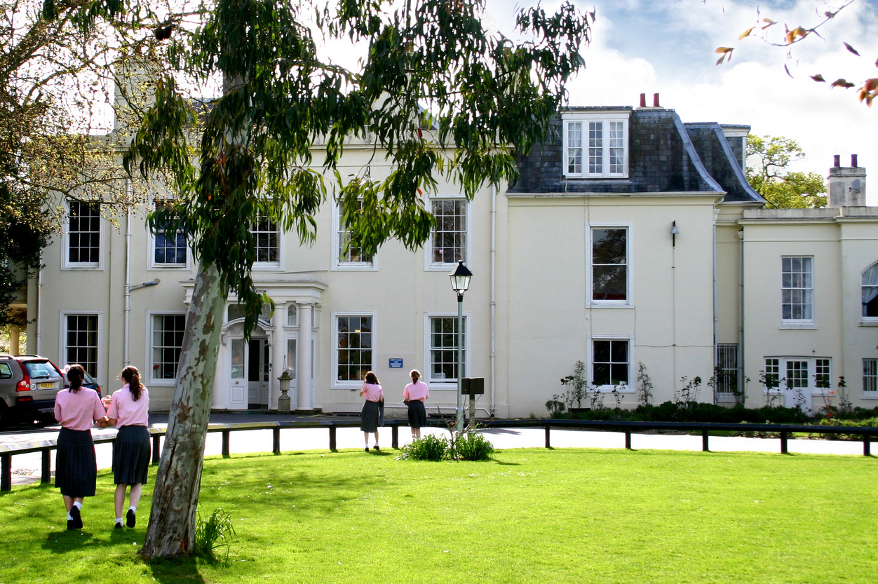
West Hill Park School
West Hill Park School is an independent, coeducational, day and boarding school for boys and girls aged 3 years to 13 years. It is situated in Fareham...
Nearby Amenities
Located within 500m of 50.844557,-1.276715Have you been to Hook?
Leave your review of Hook below (or comments, questions and feedback).