Hook

Settlement in Wiltshire

England

Hook

Bridge crossing the M4 and power lines just north of the motorway
Bridge crossing the M4 and power lines just north of the motorway Credit: Rob Purvis

Hook is a small village located in the county of Wiltshire, in southwestern England. Situated approximately 5 miles northeast of the town of Salisbury, it is nestled in a picturesque rural setting surrounded by rolling countryside and farmland. The village is part of the civil parish of Netheravon and falls within the Salisbury district.

The history of Hook dates back centuries, with evidence of settlement in the area from as early as the Iron Age. The village has a rich agricultural heritage, and farming has been a prominent activity in the area for generations. Today, Hook maintains its rural charm and is known for its tranquil atmosphere, making it a popular choice for those seeking a peaceful countryside retreat.

The village itself is relatively small, with a population of around 500 residents. It features a combination of traditional thatched cottages and modern houses, giving it a mix of old-world charm and contemporary living. Amenities in Hook include a village hall, a local pub, and a small shop for basic necessities.

Surrounded by natural beauty, Hook offers ample opportunities for outdoor activities. The nearby Salisbury Plain provides a vast expanse of open space for walking, cycling, and horse riding. Additionally, the village is conveniently located near several historical sites and attractions, such as Stonehenge and the ancient hill fort of Old Sarum.

Overall, Hook is a delightful village that offers a peaceful and idyllic lifestyle, with its scenic countryside, close-knit community, and easy access to both nature and cultural landmarks.

If you have any feedback on the listing, please let us know in the comments section below.
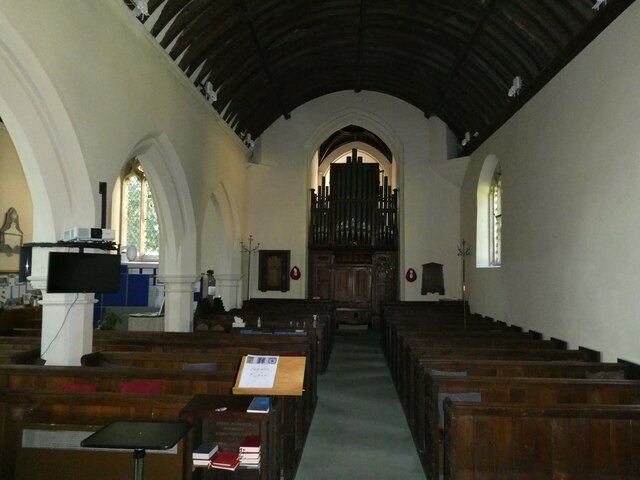
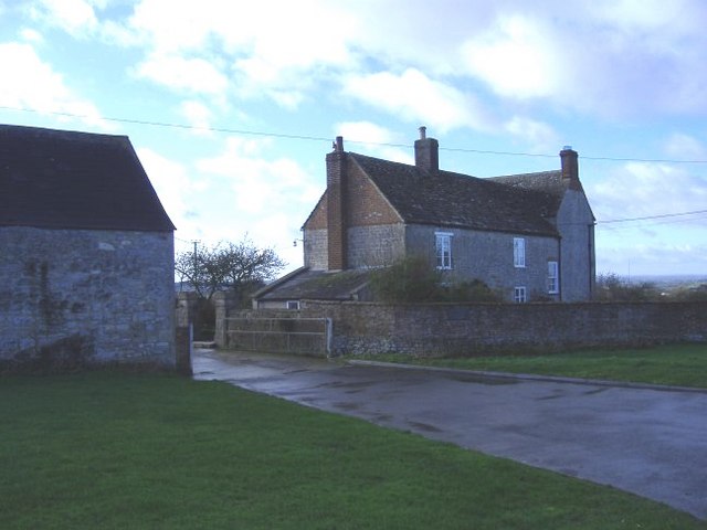
Hook Images

Images are sourced within 2km of 51.560717/-1.88716 or Grid Reference SU0784. Thanks to Geograph Open Source API. All images are credited.

Bridge crossing the M4 and power lines just north of the motorway
Lydiard Millicent On the edge of the village of Lydiard Millicent.
Lydiard Millicent
On the edge of the village of Lydiard Millicent.
Transmitter at Frith Copse Situated at the north end of the wood, off Flaxlands Lane.
Transmitter at Frith Copse
Situated at the north end of the wood, off Flaxlands Lane.
Old Milestone, Swindon Road, Royal Wootton Bassett By the A3102, on the NE side of the road. In the parish of Lydiard Tregoze (North Wiltshire District), Swindon Road; opposite turn to Stoneover Lane and Noremarsh Lane, Royal Wootton Bassett, on grass at a lay-by used as bus stop, beside Golden Jubilee Stone. Inscription was re-cut for the Golden Jubilee in 2002.

Inscription reads:-
: TO / SWINDON / 5 Miles : : TO / BATH / 28 / Miles : : TO / OXFORD / 35 / Miles : : TO / WOOTTON / BASSETT / 1 Mile / TO / CHIPPENHAM / 15 Miles :

Jubilee Stone Inscription: 
Parish of Lydiard Trgoz // to commemorate the // Golden Jubilee of // 
her Majesty Queen Elizabeth II // 2002 // sponsored by Geoff and Tris Yates

Grade II listed.
List Entry Number: 1283221 <span class="nowrap"><a title="https://historicengland.org.uk/listing/the-list/list-entry/1283221" rel="nofollow ugc noopener" href="https://historicengland.org.uk/listing/the-list/list-entry/1283221">Link</a><img style="margin-left:2px;" alt="External link" title="External link - shift click to open in new window" src="https://s1.geograph.org.uk/img/external.png" width="10" height="10"/></span>


Inscription: To / Bath / 28 / Miles //
To / Swindon / 5 / Miles // 
To / Wotton / Basset / 1 Mile / to / Chippenham / 15 Miles //
To Oxford / 35 / Miles

Milestone Society National ID: WI_CPSN15
Old Milestone, Swindon Road, Royal Wootton Bassett
By the A3102, on the NE side of the road. In the parish of Lydiard Tregoze (North Wiltshire District), Swindon Road; opposite turn to Stoneover Lane and Noremarsh Lane, Royal Wootton Bassett, on grass at a lay-by used as bus stop, beside Golden Jubilee Stone. Inscription was re-cut for the Golden Jubilee in 2002. Inscription reads:- : TO / SWINDON / 5 Miles : : TO / BATH / 28 / Miles : : TO / OXFORD / 35 / Miles : : TO / WOOTTON / BASSETT / 1 Mile / TO / CHIPPENHAM / 15 Miles : Jubilee Stone Inscription: Parish of Lydiard Trgoz // to commemorate the // Golden Jubilee of // her Majesty Queen Elizabeth II // 2002 // sponsored by Geoff and Tris Yates Grade II listed. List Entry Number: 1283221 LinkExternal link Inscription: To / Bath / 28 / Miles // To / Swindon / 5 / Miles // To / Wotton / Basset / 1 Mile / to / Chippenham / 15 Miles // To Oxford / 35 / Miles Milestone Society National ID: WI_CPSN15
Westbound M4, 70 miles from Cardiff
Westbound M4 near Midge Hall The bridge is for farm and footpath purposes.
Westbound M4 near Midge Hall
The bridge is for farm and footpath purposes.
All Saints, Lydiard Millicent: tower
All Saints, Lydiard Millicent: stained glass window (a) Intricate and colourful windows in churches and cathedrals greatly add to the ambience, although many early examples in England were smashed by the Puritans and replaced with plain glass. There was a huge revival in the 19th Century with many elaborate new stained glass windows created. The 20th century saw the development of new techniques, including Gemmail, which overlaps pieces of stained glass without using lead. New windows are still being commissioned today, while the oldest known ones are still in place within the Ancestors of Christ window on the south side of Canterbury Cathedral.
All Saints, Lydiard Millicent: stained glass window (a)
Intricate and colourful windows in churches and cathedrals greatly add to the ambience, although many early examples in England were smashed by the Puritans and replaced with plain glass. There was a huge revival in the 19th Century with many elaborate new stained glass windows created. The 20th century saw the development of new techniques, including Gemmail, which overlaps pieces of stained glass without using lead. New windows are still being commissioned today, while the oldest known ones are still in place within the Ancestors of Christ window on the south side of Canterbury Cathedral.
All Saints, Lydiard Millicent: stained glass window (b)
All Saints, Lydiard Millicent: stained glass window (c)
All Saints, Lydiard Millicent: stained glass window (d)
All Saints, Lydiard Millicent: stained glass window (e)
All Saints, Lydiard Millicent: porch
All Saints, Lydiard Millicent: side altar In many churches, the altar is the structure upon which the Eucharist is celebrated. It is usually centrally located in the sanctuary, and as such the focus of attention. It may have certain objects placed upon it such as a cross, candles or flowers. Many larger churches have a side altar, often used for smaller services such as Matins or by church affiliated groups such as the Mothers' Union.
All Saints, Lydiard Millicent: side altar
In many churches, the altar is the structure upon which the Eucharist is celebrated. It is usually centrally located in the sanctuary, and as such the focus of attention. It may have certain objects placed upon it such as a cross, candles or flowers. Many larger churches have a side altar, often used for smaller services such as Matins or by church affiliated groups such as the Mothers' Union.
All Saints, Lydiard Millicent: main altar In many churches, the altar is the structure upon which the Eucharist is celebrated. It is usually centrally located in the sanctuary, and as such the focus of attention. It may have certain objects placed upon it such as a cross, candles or flowers. Many larger churches have a side altar, often used for smaller services such as Matins or by church affiliated groups such as the Mothers' Union.
All Saints, Lydiard Millicent: main altar
In many churches, the altar is the structure upon which the Eucharist is celebrated. It is usually centrally located in the sanctuary, and as such the focus of attention. It may have certain objects placed upon it such as a cross, candles or flowers. Many larger churches have a side altar, often used for smaller services such as Matins or by church affiliated groups such as the Mothers' Union.
All Saints, Lydiard Millicent: war memorial (1914-1918)
All Saints, Lydiard Millicent: war memorial (1939-1945)
All Saints, Lydiard Millicent: nave
Show me another place!

Hook is located at Grid Ref: SU0784 (Lat: 51.560717, Lng: -1.88716)

Unitary Authority: Wiltshire

Police Authority: Wiltshire

What 3 Words

///gathering.widely.neater. Near Lydiard Millicent, Wiltshire

Nearby Locations

Lydiard Tregoze Hook

Related Wikis

Hook, Wiltshire

Hook is a small village in Wiltshire, England between the town of Royal Wootton Bassett and the village of Purton, just north of the M4 motorway. The village...

Ballard's Ash

Ballard's Ash is a hamlet in north Wiltshire, England. It lies in Lydiard Tregoze parish, just beyond the northern outskirts of Royal Wootton Bassett,...

Royal Wootton Bassett Academy

Royal Wootton Bassett Academy (RWBA) (formerly Wootton Bassett School) is a mixed secondary school and sixth form in the town of Royal Wootton Bassett...

Royal Wootton Bassett Town F.C.

Royal Wootton Bassett Town Football Club are an English football club based in the town of Royal Wootton Bassett in Wiltshire. The club has two senior...

Nearby Amenities

Located within 500m of 51.560717,-1.88716
Hook
Is In: Wiltshire, England, UK
Place: village
Wikidata: Q5897841
Lat/Long: 51.5607233/-1.8889064
Turning Circle
Lat/Long: 51.5615141/-1.8882505
Phone
Check Date: 2022-12-20
Emergency: phone
Ref: 3354B
Lat/Long: 51.5563804/-1.8857008
Power: tower
Lat/Long: 51.5569399/-1.8889831
Man Made: mast
Lat/Long: 51.5639249/-1.8920055
Historic: memorial
Memorial: war_memorial
Lat/Long: 51.5626687/-1.8889162
Give Way
Direction: backward
Lat/Long: 51.5647857/-1.8893771
Booth: K6
Covered: booth
Disused Amenity: telephone
Man Made: telephone_box
Lat/Long: 51.5616228/-1.889364
Shelter
Shelter Type: public_transport
Lat/Long: 51.5609291/-1.8890958
Post Box
Collection Times: Mo-Fr 09:00; Sa 07:00
Operator: Royal Mail
Operator Wikidata: Q638098
Post Box Type: lamp
Ref: SN4 136D
Royal Cypher: EIIR
Lat/Long: 51.560911/-1.8890721
The data included in this document is from www.openstreetmap.org. The data is made available under ODbL.

Have you been to Hook?

Leave your review of Hook below (or comments, questions and feedback).