Abson

Settlement in Gloucestershire

England

Abson

Holy Trinity, Doynton 'The church dates back to Saxon times and was largely rebuilt between 1864 and 1867. It features 12th century herringbone masonry on the south wall – rather unique in this part of the country. It also has a 12th century leper window, again situated in the south wall, and has a 13th century Lady Chapel.' <span class="nowrap"><a title="http://www.wickbenefice.net/doynton" rel="nofollow ugc noopener" href="http://www.wickbenefice.net/doynton">Link</a><img style="margin-left:2px;" alt="External link" title="External link - shift click to open in new window" src="https://s1.geograph.org.uk/img/external.png" width="10" height="10"/></span>  The style of wall is typical of the area.

Today a memorial service had been held for a former resident of the village.
Holy Trinity, Doynton Credit: HelenK

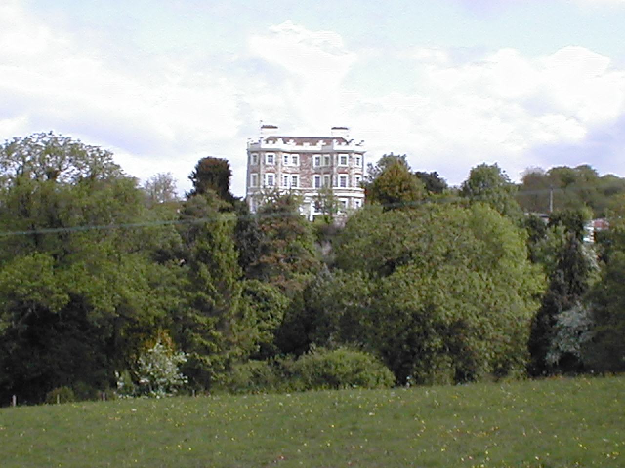
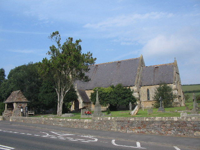
Abson is a small village located in the county of Gloucestershire, England. Situated approximately 10 miles northeast of Bristol, Abson is nestled within the beautiful countryside of the South Gloucestershire district. The village is bordered by the neighboring villages of Wick and Pucklechurch.

With a population of just over 200 residents, Abson exudes a quaint and peaceful atmosphere. The village is characterized by charming cottages and traditional stone houses, which add to its rustic appeal. The surrounding landscape boasts rolling green hills and picturesque farmland, making it an ideal location for nature lovers and outdoor enthusiasts.

Despite its small size, Abson offers a range of amenities to its residents. The village has a local pub, The Crown Inn, which serves as a social hub for both locals and visitors alike. Additionally, there is a village hall that hosts various community events throughout the year.

Abson is well-connected to neighboring towns and cities, making it a desirable location for commuters. The nearby M4 and M32 motorways provide convenient access to surrounding areas, including Bristol and Bath. The village is also serviced by regular bus routes, ensuring easy transportation for those without private vehicles.

For those seeking recreational activities, Abson is surrounded by beautiful walking paths and cycling routes. The Cotswolds, an Area of Outstanding Natural Beauty, is within driving distance and offers stunning scenery and numerous outdoor activities.

In conclusion, Abson is a charming village in Gloucestershire that offers residents a peaceful and idyllic lifestyle amidst beautiful countryside.

If you have any feedback on the listing, please let us know in the comments section below.
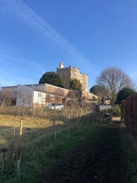
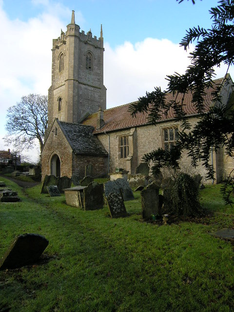
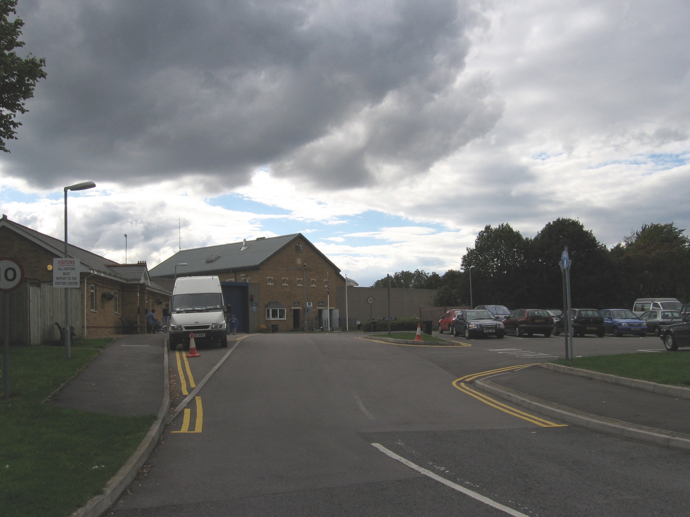
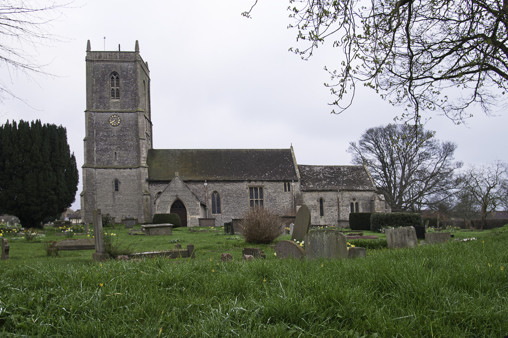
Abson Images

Images are sourced within 2km of 51.471959/-2.426571 or Grid Reference ST7074. Thanks to Geograph Open Source API. All images are credited.

Holy Trinity, Doynton 'The church dates back to Saxon times and was largely rebuilt between 1864 and 1867. It features 12th century herringbone masonry on the south wall – rather unique in this part of the country. It also has a 12th century leper window, again situated in the south wall, and has a 13th century Lady Chapel.' <span class="nowrap"><a title="http://www.wickbenefice.net/doynton" rel="nofollow ugc noopener" href="http://www.wickbenefice.net/doynton">Link</a><img style="margin-left:2px;" alt="External link" title="External link - shift click to open in new window" src="https://s1.geograph.org.uk/img/external.png" width="10" height="10"/></span>  The style of wall is typical of the area.

Today a memorial service had been held for a former resident of the village.
Holy Trinity, Doynton
'The church dates back to Saxon times and was largely rebuilt between 1864 and 1867. It features 12th century herringbone masonry on the south wall – rather unique in this part of the country. It also has a 12th century leper window, again situated in the south wall, and has a 13th century Lady Chapel.' LinkExternal link The style of wall is typical of the area. Today a memorial service had been held for a former resident of the village.
A tribute to longevity Bury Lane, Doynton: the road which leads southwards to Wick and the A420.
  
The bench on the left commemorates the 100th birthday of one Alec Amos 'from his friends'.  Maybe there is something special in the water at Doynton; a memorial in the church records another recent resident reaching the age of 108 or 109!
A tribute to longevity
Bury Lane, Doynton: the road which leads southwards to Wick and the A420. The bench on the left commemorates the 100th birthday of one Alec Amos 'from his friends'. Maybe there is something special in the water at Doynton; a memorial in the church records another recent resident reaching the age of 108 or 109!
Doynton Village Hall This village hall hosts a variety of community events: 'exercise classes, community meetings, exhibitions, dog training classes, concerts, film nights, parties and other social gatherings.' <span class="nowrap"><a title="http://www.doyntonvillage.org/village-hall-2.html" rel="nofollow ugc noopener" href="http://www.doyntonvillage.org/village-hall-2.html">Link</a><img style="margin-left:2px;" alt="External link" title="External link - shift click to open in new window" src="https://s1.geograph.org.uk/img/external.png" width="10" height="10"/></span>  However, they have had to take steps to avoid being overwhelmed with wedding receptions: 'The hall hosts a limited number ... each year, with preference being given to couples with a connection with the village.'  Today the hall was being used to provide refreshments for those who had gathered to remember Dawn, a former resident of Doynton.
Doynton Village Hall
This village hall hosts a variety of community events: 'exercise classes, community meetings, exhibitions, dog training classes, concerts, film nights, parties and other social gatherings.' LinkExternal link However, they have had to take steps to avoid being overwhelmed with wedding receptions: 'The hall hosts a limited number ... each year, with preference being given to couples with a connection with the village.' Today the hall was being used to provide refreshments for those who had gathered to remember Dawn, a former resident of Doynton.
High St, Doynton There is now nothing in particular to single out this street from others in the village apart from a pub at the far end.  The house in the distance on the left was once the post office.  High St extends north-west out of the village but is not a sensible route out of it unless you are going to local farms.
High St, Doynton
There is now nothing in particular to single out this street from others in the village apart from a pub at the far end. The house in the distance on the left was once the post office. High St extends north-west out of the village but is not a sensible route out of it unless you are going to local farms.
Graveyard of Holy Trinity Church, Doynton The graveyard contains the village war memorial.  This is the site of two Commonwealth War Graves, one from each of the two world wars.  Further details at <span class="nowrap"><a title="https://www.cwgc.org/visit-us/find-cemeteries-memorials/cemetery-details/2046868/doynton-holy-trinity-churchyard/" rel="nofollow ugc noopener" href="https://www.cwgc.org/visit-us/find-cemeteries-memorials/cemetery-details/2046868/doynton-holy-trinity-churchyard/">Link</a><img style="margin-left:2px;" alt="External link" title="External link - shift click to open in new window" src="https://s1.geograph.org.uk/img/external.png" width="10" height="10"/></span> and <span class="nowrap"><a title="https://sites.southglos.gov.uk/war-memorials/war-memorials/doynton/" rel="nofollow ugc noopener" href="https://sites.southglos.gov.uk/war-memorials/war-memorials/doynton/">Link</a><img style="margin-left:2px;" alt="External link" title="External link - shift click to open in new window" src="https://s1.geograph.org.uk/img/external.png" width="10" height="10"/></span> . Beyond the graveyard runs Church Road.
Graveyard of Holy Trinity Church, Doynton
The graveyard contains the village war memorial. This is the site of two Commonwealth War Graves, one from each of the two world wars. Further details at LinkExternal link and LinkExternal link . Beyond the graveyard runs Church Road.
Holy Trinity Church, Doynton
St James the Great Church, Abson This fine Grade I listed church is in a very small hamlet <span class="nowrap"><a title="https://historicengland.org.uk/listing/the-list/list-entry/1216114?section=official-list-entry" rel="nofollow ugc noopener" href="https://historicengland.org.uk/listing/the-list/list-entry/1216114?section=official-list-entry">Link</a><img style="margin-left:2px;" alt="External link" title="External link - shift click to open in new window" src="https://s1.geograph.org.uk/img/external.png" width="10" height="10"/></span>
St James the Great Church, Abson
This fine Grade I listed church is in a very small hamlet LinkExternal link
Sundial, St James the Great Church, Abson The 18th century sundial is a fairly recent feature. The church itself <a href="https://www.geograph.org.uk/photo/7425517">ST7074 : St James the Great Church, Abson</a> has its origins in the 12th century.
Sundial, St James the Great Church, Abson
The 18th century sundial is a fairly recent feature. The church itself ST7074 : St James the Great Church, Abson has its origins in the 12th century.
Footbridge and kissing gate near Wick The bridge crossed Dog Brook
Footbridge and kissing gate near Wick
The bridge crossed Dog Brook
Bury Manor, Wick Bury Manor Castle is an early 19th-century house in the village of Wick, South Gloucestershire. It was built in Gothic Revival style. The cellars to Bury Manor are thought to date back to a 13c Manor on the site, which is rumoured to have had secret passages which connected with the village.
Bury Manor, Wick
Bury Manor Castle is an early 19th-century house in the village of Wick, South Gloucestershire. It was built in Gothic Revival style. The cellars to Bury Manor are thought to date back to a 13c Manor on the site, which is rumoured to have had secret passages which connected with the village.
Wick Quarry The water in this filled quarry site is 200ft deep. There have been proposals to turn it into a water park but the quarry site needs a lot of safety work and access is difficult. Quarrying for aggregates still continue here
Wick Quarry
The water in this filled quarry site is 200ft deep. There have been proposals to turn it into a water park but the quarry site needs a lot of safety work and access is difficult. Quarrying for aggregates still continue here
Telecoms tower  on Bury Lane Near Wick quarry
Telecoms tower on Bury Lane
Near Wick quarry
River Boyd at Cleeve Bridge The green fence on the left encircles the quarry
River Boyd at Cleeve Bridge
The green fence on the left encircles the quarry
Gatherham Farm, Doynton Just north of Wick Quarry
Gatherham Farm, Doynton
Just north of Wick Quarry
Gatherham Farm, Doynton The farmhouse dates from the C17 with early C19 with C20 alterations
Gatherham Farm, Doynton
The farmhouse dates from the C17 with early C19 with C20 alterations
Signposts at the junction of Rock Road and Cleeve Lane
House on Rock Road
House on Rock Road
Entering Wick from the north
Show me another place!

Abson is located at Grid Ref: ST7074 (Lat: 51.471959, Lng: -2.426571)

Unitary Authority: South Gloucestershire

Police Authority: Avon and Somerset

What 3 Words

///films.good.tall. Near Pucklechurch, Gloucestershire

Nearby Locations

Abson

Related Wikis

Nearby Amenities

Located within 500m of 51.471959,-2.426571
Abson
Place: village
Source Ref: NPE
Wikidata: Q3303624
Wikipedia: en:Abson
Lat/Long: 51.4720869/-2.4281315
Bus Stop
Abson Road
Naptan AtcoCode: 0170SGB20501
Naptan Bearing: S
Naptan CommonName: Abson Road
Naptan Crossing: Abson Road
Naptan NaptanCode: sglmjwj
Naptan Street: Lodge Road
Naptan Verified: no
Source: naptan_import
Lat/Long: 51.4717662/-2.4265605
Bus Stop
Abson Road
Naptan AtcoCode: 0170SGB20502
Naptan Bearing: N
Naptan CommonName: Abson Road
Naptan Crossing: Lodge Road
Naptan NaptanCode: sglmjwd
Naptan Street: Abson Road
Naptan Verified: no
Source: naptan_import
Lat/Long: 51.4718465/-2.426734
Barrier: stile
Stile: stepover
Lat/Long: 51.4716878/-2.4284896
Barrier: stile
Lat/Long: 51.4714415/-2.429432
Barrier: stile
Lat/Long: 51.4709788/-2.4314237
Barrier: stile
Lat/Long: 51.4712294/-2.4301197
Barrier: stile
Lat/Long: 51.4683511/-2.4274317
Barrier: stile
Lat/Long: 51.4683883/-2.427489
Barrier: stile
Stile: stepover
Lat/Long: 51.4716867/-2.4251697
Power: pole
Lat/Long: 51.4683985/-2.4232512
Power: pole
Lat/Long: 51.4689235/-2.4230941
Power: pole
Lat/Long: 51.4696235/-2.4229407
Power: pole
Lat/Long: 51.4704098/-2.4227282
Power: pole
Lat/Long: 51.4713008/-2.4225267
Power: pole
Lat/Long: 51.471942/-2.4223659
Power: pole
Lat/Long: 51.4726253/-2.4222006
Power: pole
Lat/Long: 51.4732958/-2.4214696
Power: pole
Lat/Long: 51.4739416/-2.4207673
Post Box
Mapillary: 888341022068302
Post Box Mounting: pier
Post Box Type: lamp
Survey Date: 2021-06-09
Lat/Long: 51.4713497/-2.4265428
Defibrillator
Defibrillator Location: On wall facing road
Emergency: defibrillator
Lat/Long: 51.4715346/-2.4265176
Barrier: stile
Lat/Long: 51.4748157/-2.4266703
Barrier: stile
Lat/Long: 51.4712991/-2.4230741
Power: pole
Transformer: distribution
Lat/Long: 51.4718287/-2.427873
The data included in this document is from www.openstreetmap.org. The data is made available under ODbL.

Have you been to Abson?

Leave your review of Abson below (or comments, questions and feedback).