Tullos Hill

Hill, Mountain in Kincardineshire

Scotland

Tullos Hill

Depot of oil drilling pipes
Depot of oil drilling pipes Credit: Alex McGregor

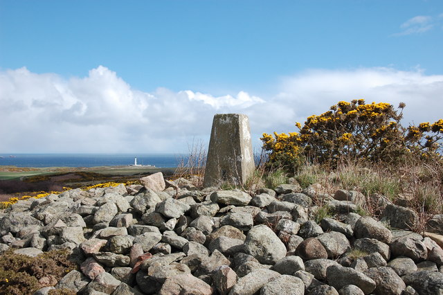
Tullos Hill is a prominent hill located in Kincardineshire, Scotland. It is situated approximately 2 miles to the west of the coastal town of Aberdeen, and stands at an elevation of around 100 meters above sea level.

The hill is known for its rich biodiversity and is designated as a Local Nature Reserve. It covers an area of about 16 hectares and is home to a variety of plant and animal species. The landscape of Tullos Hill comprises a mixture of grassland, heathland, and woodland, providing diverse habitats for numerous species to thrive.

The hill offers stunning panoramic views of the surrounding countryside, including the North Sea and the city of Aberdeen. It is a popular spot for outdoor enthusiasts, walkers, and nature lovers who enjoy exploring its trails and experiencing its tranquil ambiance.

Tullos Hill also holds historical significance, as it was once the site of a prehistoric fort known as Tullos Law, which dates back to the Iron Age. The remains of the fort can still be seen today, providing a fascinating glimpse into Scotland's ancient past.

In recent years, Tullos Hill has been the focus of a controversial project to create a new woodland by planting thousands of trees. This initiative aims to enhance the biodiversity of the area and create a sustainable habitat for various wildlife species. However, it has generated debate among local communities and environmental groups due to concerns about the impact on existing ecosystems and the removal of some of the hill's grassland.

If you have any feedback on the listing, please let us know in the comments section below.
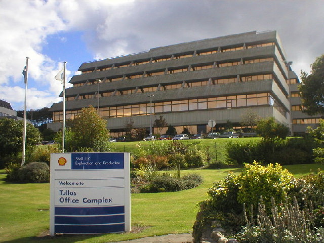
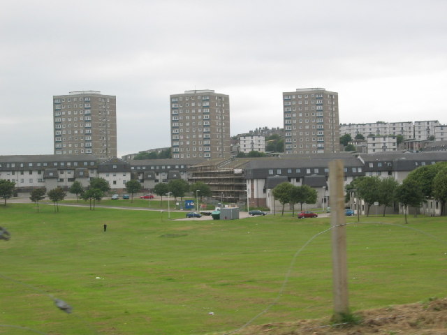
Tullos Hill Images

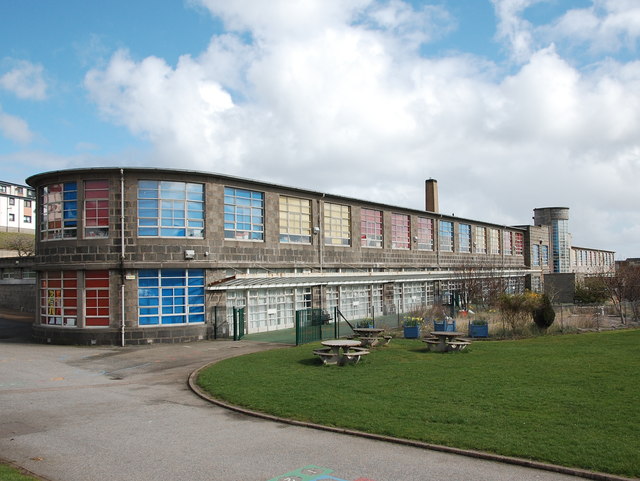
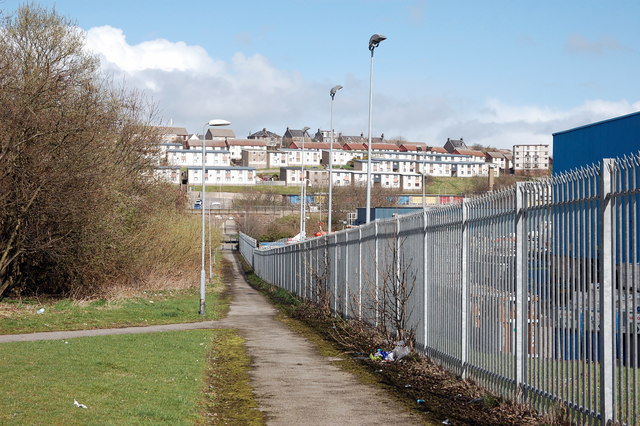
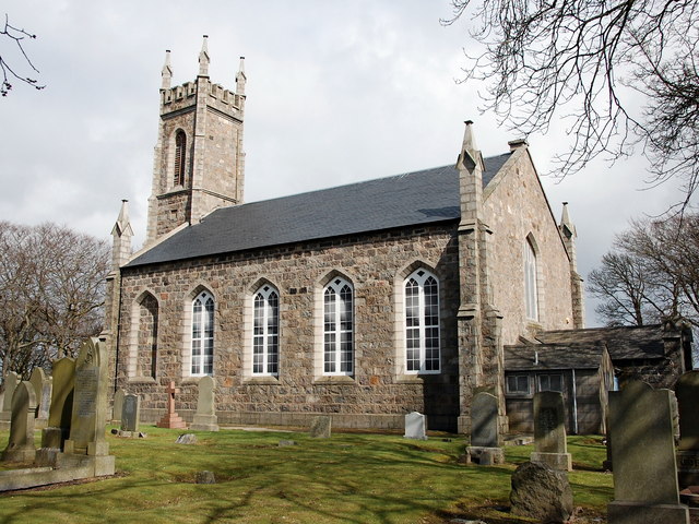
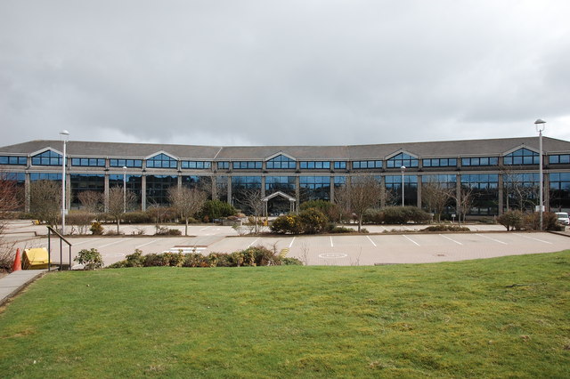
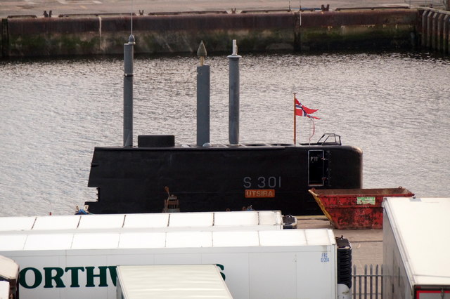
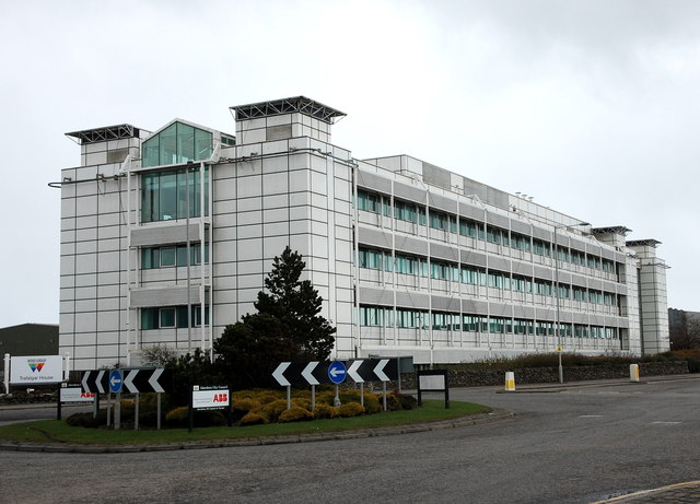
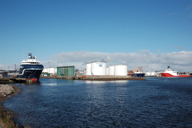
Images are sourced within 2km of 57.124147/-2.0715136 or Grid Reference NJ9503. Thanks to Geograph Open Source API. All images are credited.

Depot of oil drilling pipes
Flag of convenience The E R Athina oil support vessel enters Aberdeen harbour.  Its home port is Monrovia (Liberia) but I would be surprised if it has ever been near west Africa (<span class="nowrap"><a title="https://en.wikipedia.org/wiki/Flag_of_convenience" rel="nofollow ugc noopener" href="https://en.wikipedia.org/wiki/Flag_of_convenience">Link</a><img style="margin-left:2px;" alt="External link" title="External link - shift click to open in new window" src="https://s1.geograph.org.uk/img/external.png" width="10" height="10"/></span> ).  Its movements can be tracked here: <span class="nowrap"><a title="http://www.marinetraffic.com/en/ais/details/ships/shipid:3715544/mmsi:636091426/imo:9448528/vessel:E_R_ATHINA" rel="nofollow ugc noopener" href="http://www.marinetraffic.com/en/ais/details/ships/shipid:3715544/mmsi:636091426/imo:9448528/vessel:E_R_ATHINA">Link</a><img style="margin-left:2px;" alt="External link" title="External link - shift click to open in new window" src="https://s1.geograph.org.uk/img/external.png" width="10" height="10"/></span> .
Flag of convenience
The E R Athina oil support vessel enters Aberdeen harbour. Its home port is Monrovia (Liberia) but I would be surprised if it has ever been near west Africa (LinkExternal link ). Its movements can be tracked here: LinkExternal link .
Edward VIII pillar box... ...at the junction of Gregness Gardens and Girdleness Road.  One of only two to be found in Aberdeen and 136 nationwide.
Edward VIII pillar box...
...at the junction of Gregness Gardens and Girdleness Road. One of only two to be found in Aberdeen and 136 nationwide.
Tullos Primary School The classroom blinds add a nice bit of colour to this iconic 1930s art deco building, but the rusting metal and crumbling mortar are concerning...   B-listed: <span class="nowrap"><a title="http://www.britishlistedbuildings.co.uk/sc-49995-tullos-primary-school-girdleness-road-#.VxNisaT2amQ" rel="nofollow ugc noopener" href="http://www.britishlistedbuildings.co.uk/sc-49995-tullos-primary-school-girdleness-road-#.VxNisaT2amQ">Link</a><img style="margin-left:2px;" alt="External link" title="External link - shift click to open in new window" src="https://s1.geograph.org.uk/img/external.png" width="10" height="10"/></span> .
Tullos Primary School
The classroom blinds add a nice bit of colour to this iconic 1930s art deco building, but the rusting metal and crumbling mortar are concerning... B-listed: LinkExternal link .
Path... ...through Greenbank industrial estate.  The fly tipping and rotting rubbish absolutely everywhere make it look like a third-world slum.  In the background rather 'boxy' 1960s houses on the steep hillside of Balnagask and behind them, Victorian villas in Torry.
Path...
...through Greenbank industrial estate. The fly tipping and rotting rubbish absolutely everywhere make it look like a third-world slum. In the background rather 'boxy' 1960s houses on the steep hillside of Balnagask and behind them, Victorian villas in Torry.
Beech grove... ...on the hillside above Greenbank industrial estate.
Beech grove...
...on the hillside above Greenbank industrial estate.
Baron's Cairn... ...at the top of Tullos Hill: <span class="nowrap"><a title="https://canmore.org.uk/site/20242/barons-cairn-tullos-hill" rel="nofollow ugc noopener" href="https://canmore.org.uk/site/20242/barons-cairn-tullos-hill">Link</a><img style="margin-left:2px;" alt="External link" title="External link - shift click to open in new window" src="https://s1.geograph.org.uk/img/external.png" width="10" height="10"/></span> .  Girdleness Lighthouse is just visible in the distance.
Baron's Cairn...
...at the top of Tullos Hill: LinkExternal link . Girdleness Lighthouse is just visible in the distance.
Nigg Kirk Nigg Kirk was built in 1829 to the design of John Smith to replace the (now ruined) St Fittick's Kirk in Torry.  Compare St Clement's Church: <a title="https://www.geograph.org.uk/photo/3378773" href="https://www.geograph.org.uk/photo/3378773">Link</a> .  As already pointed out by Peter Robinson (<a title="https://www.geograph.org.uk/photo/3065186" href="https://www.geograph.org.uk/photo/3065186">Link</a> ), the windows are fakes, presumably on top of the boarded-up originals.
Nigg Kirk
Nigg Kirk was built in 1829 to the design of John Smith to replace the (now ruined) St Fittick's Kirk in Torry. Compare St Clement's Church: Link . As already pointed out by Peter Robinson (Link ), the windows are fakes, presumably on top of the boarded-up originals.
Amec Foster Wheeler office block An energy consultancy: <span class="nowrap"><a title="http://www.amecfw.com/aboutus/at-a-glance" rel="nofollow ugc noopener" href="http://www.amecfw.com/aboutus/at-a-glance">Link</a><img style="margin-left:2px;" alt="External link" title="External link - shift click to open in new window" src="https://s1.geograph.org.uk/img/external.png" width="10" height="10"/></span> .
Amec Foster Wheeler office block
An energy consultancy: LinkExternal link .
Dusk over Aberdeen Harbour
Aberdeen harbour scene The fishing boats are gone (or now dock at Peterhead and Fraserburgh) but the harbour is extremely busy with oil support vessels and ferries to the northern isles.  Most of the harbour is shut off by security fences but here is one spot where you can at least observe.
Aberdeen harbour scene
The fishing boats are gone (or now dock at Peterhead and Fraserburgh) but the harbour is extremely busy with oil support vessels and ferries to the northern isles. Most of the harbour is shut off by security fences but here is one spot where you can at least observe.
Norwegian submarine Utsira in Aberdeen Harbour
Norwegian submarine Utsira in Aberdeen Harbour One of several vessels in Aberdeen as part of a NATO exercise.
Norwegian submarine Utsira in Aberdeen Harbour
One of several vessels in Aberdeen as part of a NATO exercise.
Oil company office, Altens industrial estate
Wood Group offices, Altens industrial estate
Tidal Harbour, Aberdeen The left-hand channel is the mouth of the River Dee.
Tidal Harbour, Aberdeen
The left-hand channel is the mouth of the River Dee.
Ship leaving Aberdeen Harbour at night, from Footdee
Aberdeen harbour from the air Taken from a plane just after take-off from Aberdeen Airport.
Aberdeen harbour from the air
Taken from a plane just after take-off from Aberdeen Airport.
Show me another place!

Tullos Hill is located at Grid Ref: NJ9503 (Lat: 57.124147, Lng: -2.0715136)

Unitary Authority: City of Aberdeen

Police Authority: North East

Also known as: Baron's Cairn

What 3 Words

///wasp.golf.stay. Near Aberdeen

Related Wikis

NESS Energy Project

The NESS Energy Project is an incinerator currently under construction in Aberdeen, UK. It is situated in East Tullos Industrial Estate on a site formerly...

Tullos

Tullos is an area of Aberdeen, Scotland. The area takes its name from the Vale of Tullos, which lies between Tullos Hill and Torry Hill. Tullos derived...

Doonies Farm

Doonies Rare Breeds Farm was a farm in Aberdeen, Scotland. Doonies Farm had one of Scotland's largest collections of rare and endangered farm animal breeds...

Balnagask

Balnagask is an area of Torry, a burgh of Aberdeen in Scotland. Balnagask is said to mean "the village in the hollow" in Gaelic. The Balnagask Estate...

Nearby Amenities

Located within 500m of 57.124147,-2.0715136
Street Lamp
Lat/Long: 57.1202248/-2.0747376
Direction: both
Traffic Calming: bump
Lat/Long: 57.1214493/-2.0703213
Baron's Cairn
Ele: 83
Man Made: cairn
Source: NPE
Lat/Long: 57.1241323/-2.0715922
Tullos Hill
Ele: 83
Natural: peak
Lat/Long: 57.1241442/-2.0715086
Tullos Cairn
Man Made: cairn
Lat/Long: 57.1278102/-2.0694058
Noexit: yes
Lat/Long: 57.1230163/-2.0695148
Noexit: yes
Lat/Long: 57.1227887/-2.069957
Noexit: yes
Lat/Long: 57.1227539/-2.070043
Noexit: yes
Lat/Long: 57.1216871/-2.0711784
Noexit: yes
Lat/Long: 57.1231379/-2.0691336
Noexit: yes
Lat/Long: 57.1232167/-2.0675092
Noexit: yes
Lat/Long: 57.1232193/-2.0674402
Man Made: mast
Tower Construction: tube
Tower Type: lighting
Lat/Long: 57.1199998/-2.0722961
Man Made: mast
Tower Construction: tube
Tower Type: lighting
Lat/Long: 57.121041/-2.0716678
Man Made: mast
Tower Construction: tube
Tower Type: lighting
Lat/Long: 57.1203675/-2.0681079
Man Made: mast
Tower Construction: tube
Tower Type: lighting
Lat/Long: 57.1206507/-2.0694745
Man Made: mast
Tower Construction: tube
Tower Type: lighting
Lat/Long: 57.1208939/-2.0706774
Weighbridge
Lat/Long: 57.1262504/-2.0778952
Man Made: chimney
Material: metal
Lat/Long: 57.1266865/-2.0768993
Crossing
Crossing: uncontrolled
Crossing Markings: zebra
Lat/Long: 57.1270341/-2.077585
Weighbridge
Lat/Long: 57.1270231/-2.0777491
Direction: both
Traffic Calming: bump
Lat/Long: 57.1215781/-2.0710479
Give Way
Direction: backward
Lat/Long: 57.1227525/-2.0660044
The data included in this document is from www.openstreetmap.org. The data is made available under ODbL.

Have you been to Tullos Hill?

Leave your review of Tullos Hill below (or comments, questions and feedback).