South Top
Hill, Mountain in Westmorland South Lakeland
England
South Top
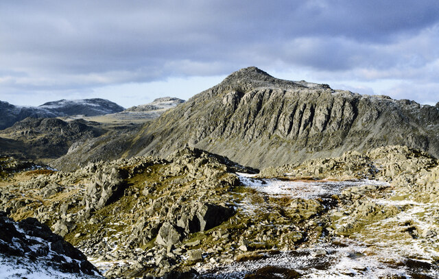
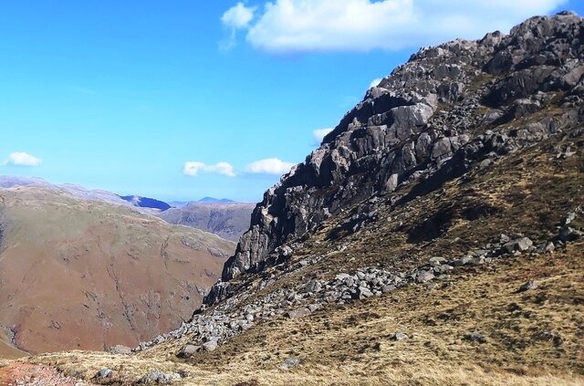
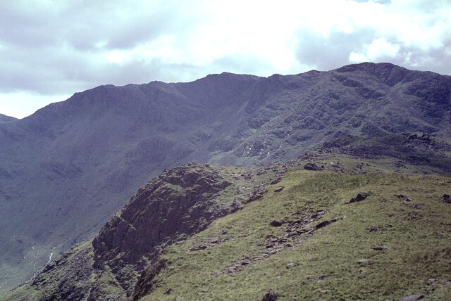
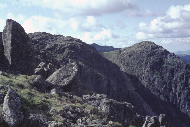
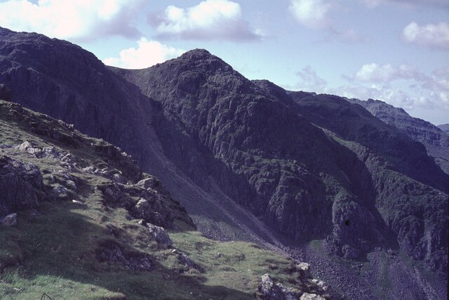
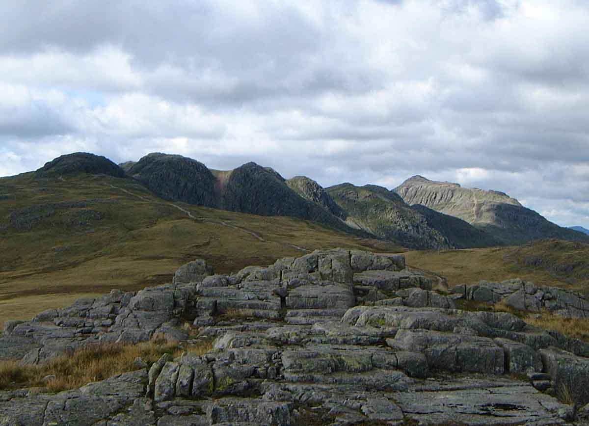
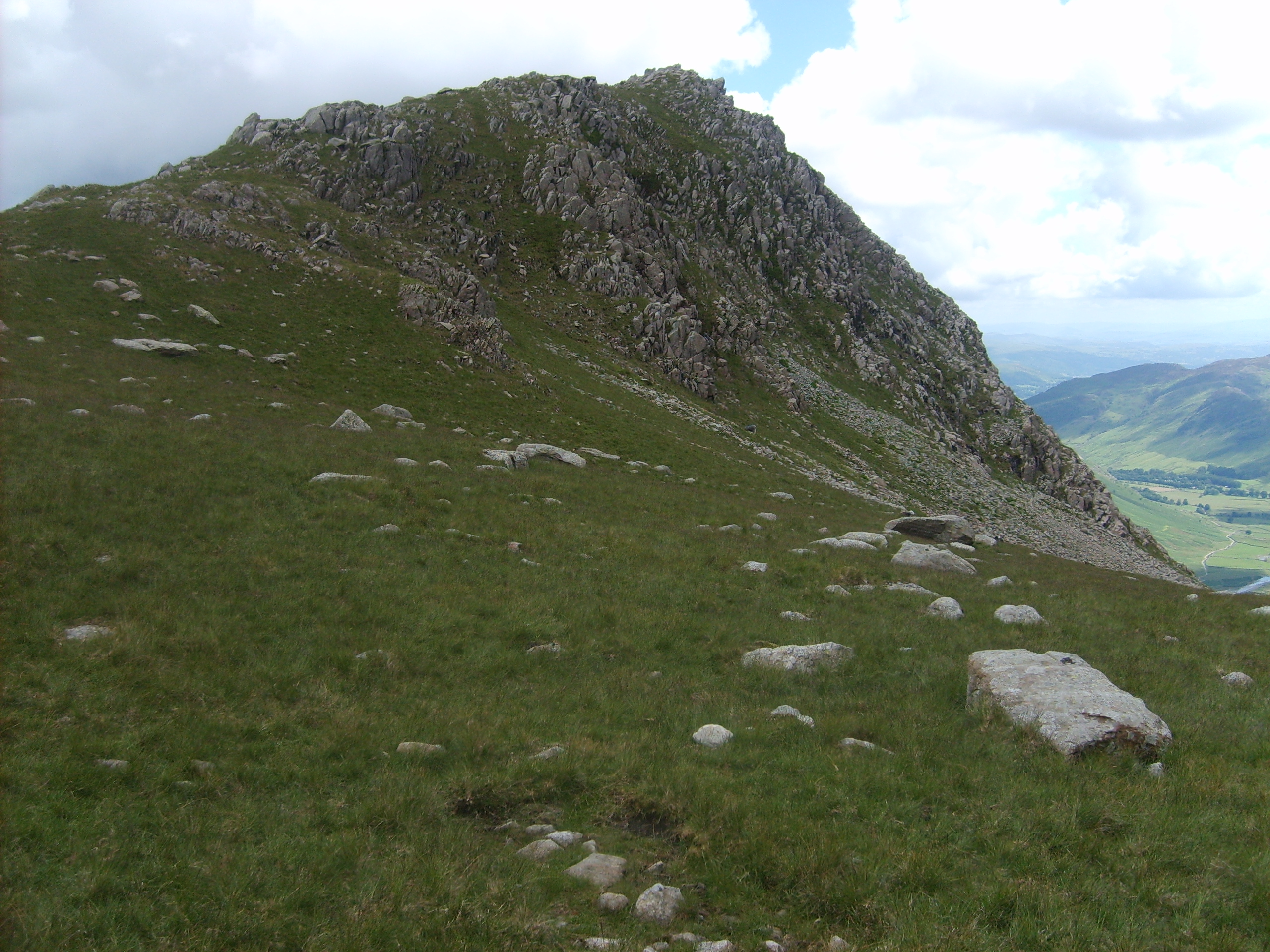
South Top, also known as "Selside Pike," is a prominent hill located in the picturesque county of Westmorland, in northwest England. Part of the Lake District National Park, it stands at an elevation of 655 meters (2,149 feet) above sea level and offers breathtaking panoramic views of the surrounding landscape.
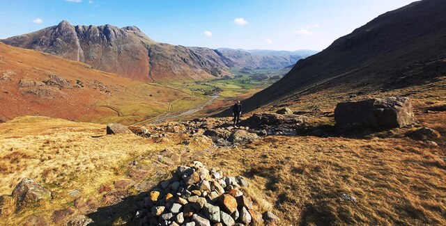
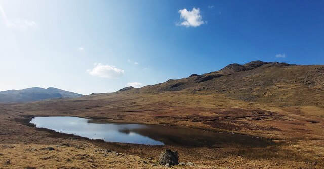
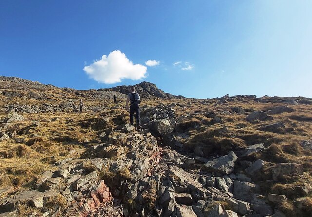
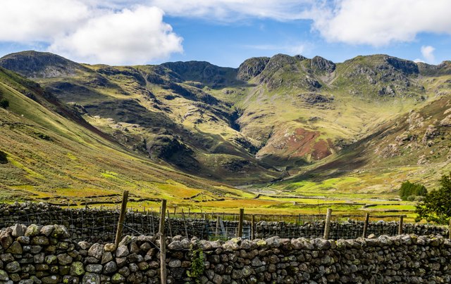
Situated near the village of Selside, South Top is a popular destination for hikers and outdoor enthusiasts. It is often included as part of a larger circular route that incorporates nearby peaks, such as Branstree and Harter Fell, providing an exhilarating and challenging walk for those seeking to explore the area's natural beauty.
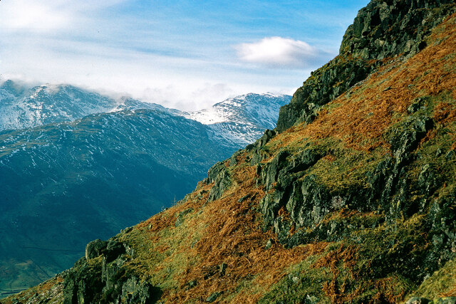
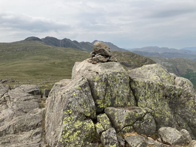
The hill is characterized by its distinctive rounded shape and grassy slopes, which make it relatively accessible for walkers of varying abilities. The ascent to the summit can be approached from various directions, with well-established paths leading from the neighboring valleys.
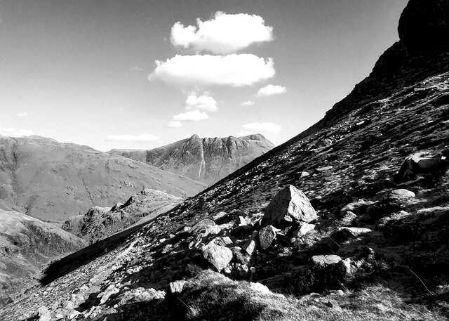
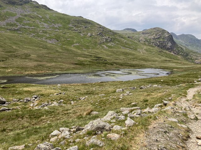
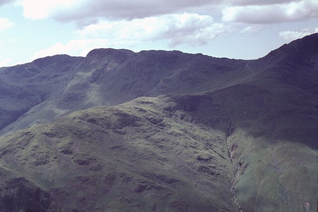
At the top of South Top, visitors are rewarded with stunning views in all directions. To the north lies the expansive Haweswater Reservoir, while to the south, the eye is drawn to the rugged fells and rolling hills that define the Lake District's unique landscape.
As with many hills in the region, South Top is rich in history and folklore. It is said to have been a popular spot for shepherds and farmers in times gone by, who would use it as a vantage point to survey their flocks grazing in the surrounding valleys.
Overall, South Top in Westmorland offers a captivating outdoor experience, combining natural beauty, hiking opportunities, and a glimpse into the region's cultural heritage.
If you have any feedback on the listing, please let us know in the comments section below.
South Top Images
Images are sourced within 2km of 54.430882/-3.1574282 or Grid Reference NY2504. Thanks to Geograph Open Source API. All images are credited.
South Top is located at Grid Ref: NY2504 (Lat: 54.430882, Lng: -3.1574282)
Administrative County: Cumbria
District: South Lakeland
Police Authority: Cumbria
Also known as: 1st Crinkle
What 3 Words
///fees.lengthen.surface. Near Ambleside, Cumbria
Nearby Locations
Related Wikis
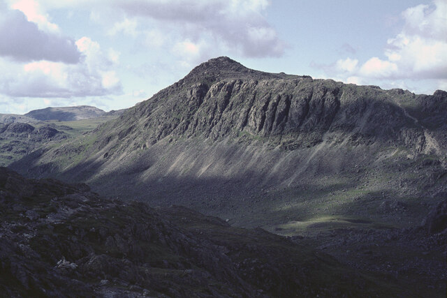
Crinkle Crags
Crinkle Crags is a fell in the English Lake District in the county of Cumbria. It forms part of two major rings of mountains, surrounding the valleys of...

Cold Pike
Cold Pike is a fell in the English Lake District. It is a satellite of Crinkle Crags and stands above the Upper Duddon Valley. == Topography == When travelling...

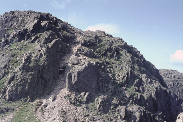
Bowfell
Bowfell (named Bow Fell on Ordnance Survey maps) is a pyramid-shaped mountain lying at the heart of the English Lake District, in the Southern Fells area...

Pike of Blisco
Pike of Blisco, or Pike o' Blisco, is a mountain in the Lake District in Cumbria, England. Located between the valleys of Great Langdale and Little Langdale...

Hard Knott
Hard Knott is a fell in the English Lake District, at the head of Eskdale. == Geology == Rhyolitic lava-like tuff of the Bad Step Tuff forms the summit...

Cockley Beck
Cockley Beck is a small hamlet, situated in the Duddon Valley in Cumbria, England. Historically, the hamlet was part of Lancashire. Located today within...
Rossett Pike
Rossett Pike is a fell in the English Lake District. It is located at the head of Mickleden, one of two tributary valleys of Great Langdale. == Topography... ==

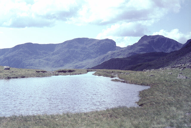
Angle Tarn (Langstrath)
Angle Tarn is a tarn to the north of Bowfell in the English Lake District. It drains into Langstrath Beck. This should not be confused with Angle Tarn...
Nearby Amenities
Located within 500m of 54.430882,-3.1574282Have you been to South Top?
Leave your review of South Top below (or comments, questions and feedback).