Stonesty Pike

Hill, Mountain in Cumberland Copeland

England

Stonesty Pike

Rocky ground north from summit of Shelter Crags The view north from the highest point of Shelter Crags with Bow Fell the peak above the grooved cliff.
The more rounded mountains beyond are Great End and Esk Pike.
Rocky ground north from summit of Shelter Crags Credit: Trevor Littlewood

Stonesty Pike is a prominent hill located in the county of Cumberland, England. Situated in the Lake District National Park, it forms part of the beautiful landscape that has made the region famous for its natural beauty and outdoor recreational activities.

Rising to an elevation of 1,114 feet (340 meters), Stonesty Pike is often referred to as a hill, although it could also be considered a small mountain due to its height and the steepness of its slopes. It is located near the village of Mungrisdale and lies to the east of the larger peak of Blencathra.

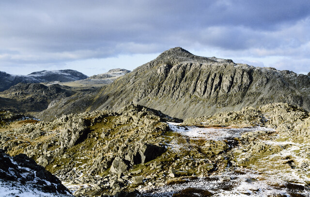
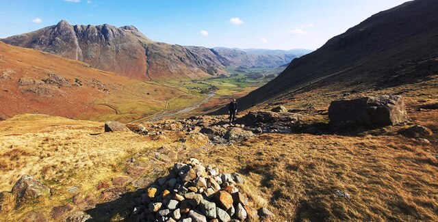
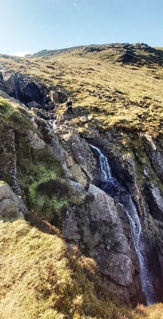
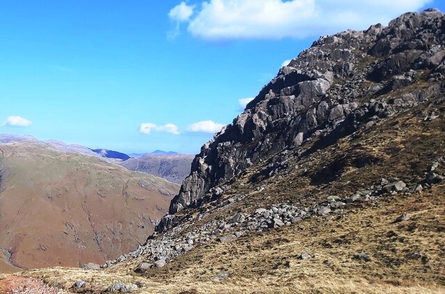
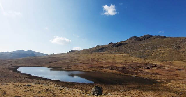
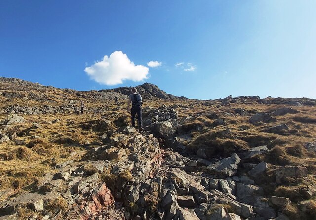
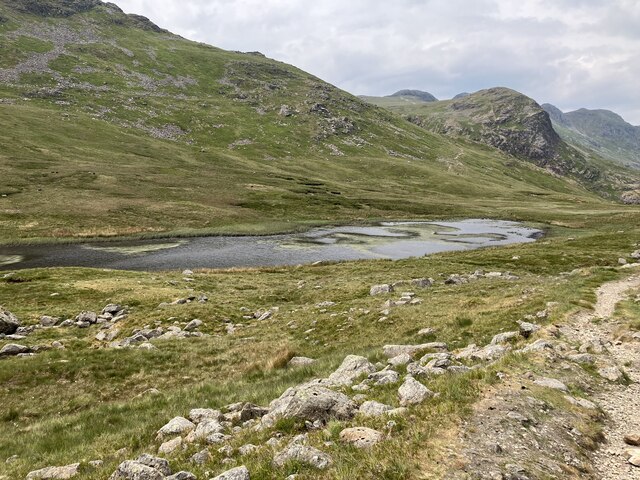
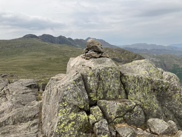
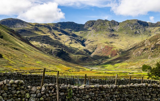
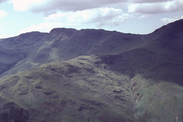
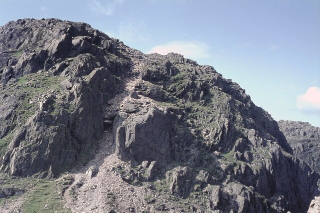
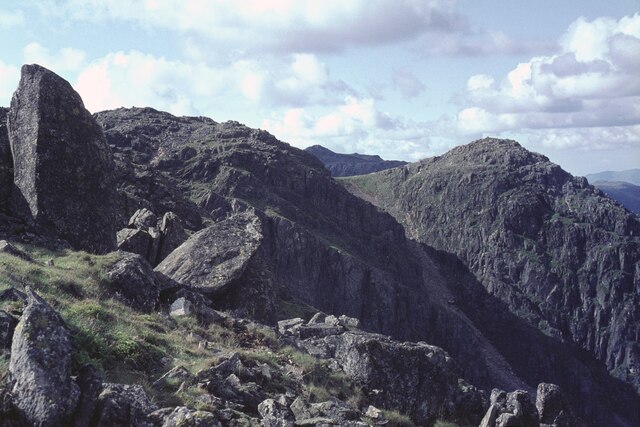
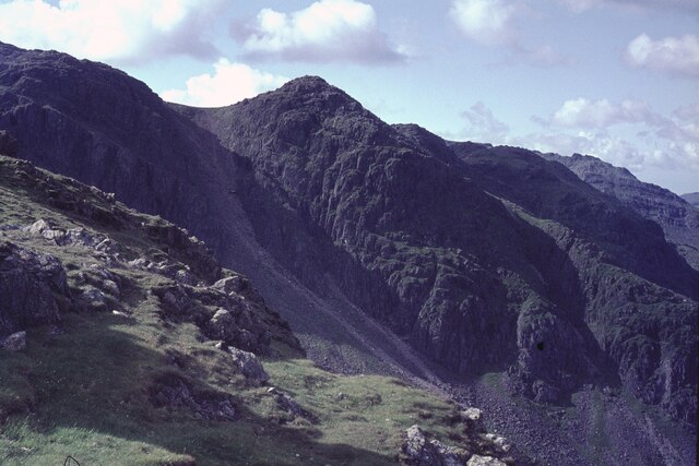
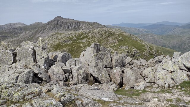
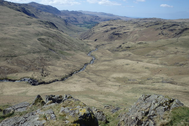
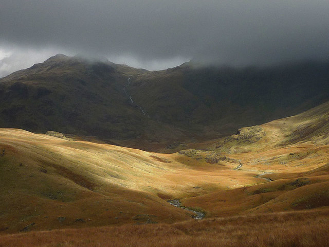
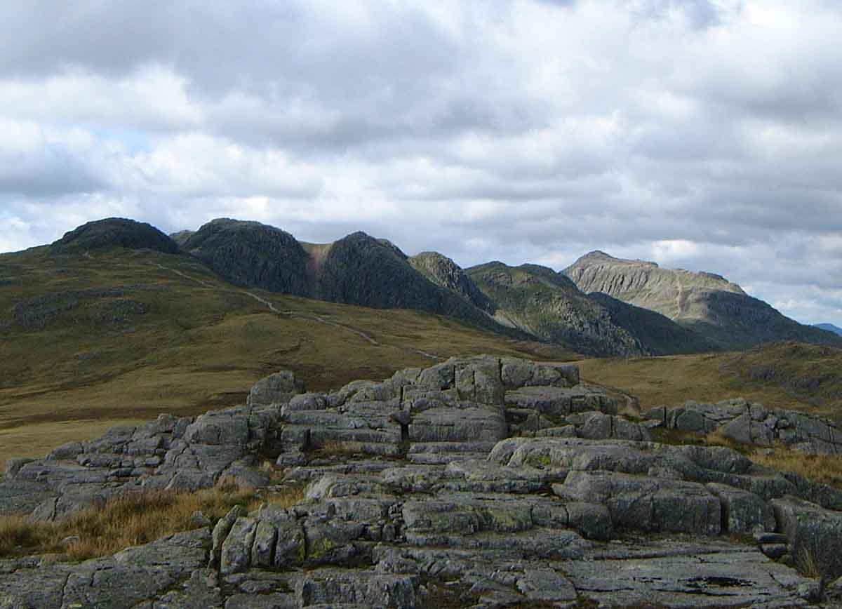
The terrain of Stonesty Pike is characterized by rugged slopes covered in grass and heather, with scattered rocky outcrops adding to its charm. The hill offers stunning panoramic views of the surrounding countryside, including glimpses of the nearby Skiddaw and Helvellyn ranges.

Hikers and outdoor enthusiasts are drawn to Stonesty Pike for its accessible walking routes and its inclusion in several popular trails, such as the Cumbria Way and the Blencathra and Skiddaw Circular Walk. The hill provides a challenging ascent for those seeking a more strenuous hike, while also offering a rewarding experience for less experienced walkers.

Stonesty Pike is a haven for wildlife, with various bird species, including peregrine falcons and red kites, often spotted soaring above its slopes. The surrounding vegetation provides a habitat for numerous plant species, contributing to the area's biodiversity.

In summary, Stonesty Pike is a picturesque hill/mountain within the Lake District National Park, offering breathtaking views, diverse wildlife, and opportunities for outdoor exploration and recreation.

If you have any feedback on the listing, please let us know in the comments section below.

Stonesty Pike Images

Images are sourced within 2km of 54.426694/-3.1564623 or Grid Reference NY2504. Thanks to Geograph Open Source API. All images are credited.

Rocky ground north from summit of Shelter Crags The view north from the highest point of Shelter Crags with Bow Fell the peak above the grooved cliff.
The more rounded mountains beyond are Great End and Esk Pike.
Rocky ground north from summit of Shelter Crags
The view north from the highest point of Shelter Crags with Bow Fell the peak above the grooved cliff. The more rounded mountains beyond are Great End and Esk Pike.
View down to Oxendale
The Slopes of Brown Howe
Waterfall below Black Wars
Black Wars
Black Wars
Red Tarn
Red Tarn
Path up to Pike of Blisco
Red Tarn
Red Tarn
Cold Pike summit cairn
Crinkle Crags from Pike of Stickle The ridge ascending to the right across the image is The Band, leading to Bow Fell just out of shot. The dip on the horizon left of Bow Fell is at Three Tarns.
Crinkle Crags from Pike of Stickle
The ridge ascending to the right across the image is The Band, leading to Bow Fell just out of shot. The dip on the horizon left of Bow Fell is at Three Tarns.
The 'Bad Step' on Crinkle Crags It is interesting to see that this route was already badly eroded back in 1965.

Competent scramblers will take a route immediately right of the chockstone. There is clearly an easier route to the right of the huge central slab. But mere hillwalkers, as I am, used a path on the left, out of shot.
The 'Bad Step' on Crinkle Crags
It is interesting to see that this route was already badly eroded back in 1965. Competent scramblers will take a route immediately right of the chockstone. There is clearly an easier route to the right of the huge central slab. But mere hillwalkers, as I am, used a path on the left, out of shot.
The crags on the east side of Crinkle Crags
Crinkle Crags from Great Knott
Crinkle Crags Crinkle Crags on the fourth Crinkle looking to the fifth and on to in the distance Bowfell
Crinkle Crags
Crinkle Crags on the fourth Crinkle looking to the fifth and on to in the distance Bowfell
Tarn by far west top of Cold Fell
On Pianett Knott Above Lingcove Beck
On Pianett Knott
Above Lingcove Beck
Fleeting sun over Lingcove Beck Dark clouds obscure the upper slopes of Esk Pike.
Fleeting sun over Lingcove Beck
Dark clouds obscure the upper slopes of Esk Pike.
Show me another place!

Stonesty Pike is located at Grid Ref: NY2504 (Lat: 54.426694, Lng: -3.1564623)

Administrative County: Cumbria

District: Copeland

Police Authority: Cumbria

What 3 Words

///lifestyle.regrowth.outfit. Near Ambleside, Cumbria

Related Wikis

Nearby Amenities

Located within 500m of 54.426694,-3.1564623
South Top
Ele: 834
Natural: peak
Lat/Long: 54.4308282/-3.1574239
Stonesty Pike
Place: locality
Lat/Long: 54.42503/-3.1590426
The data included in this document is from www.openstreetmap.org. The data is made available under ODbL.

Have you been to Stonesty Pike?

Leave your review of Stonesty Pike below (or comments, questions and feedback).