Barningham
Settlement in Suffolk West Suffolk
England
Barningham
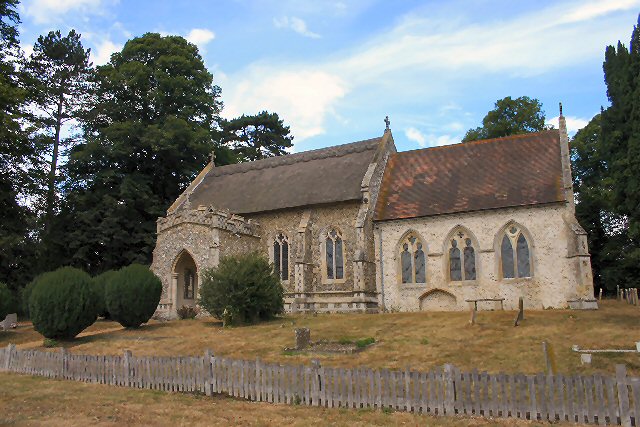
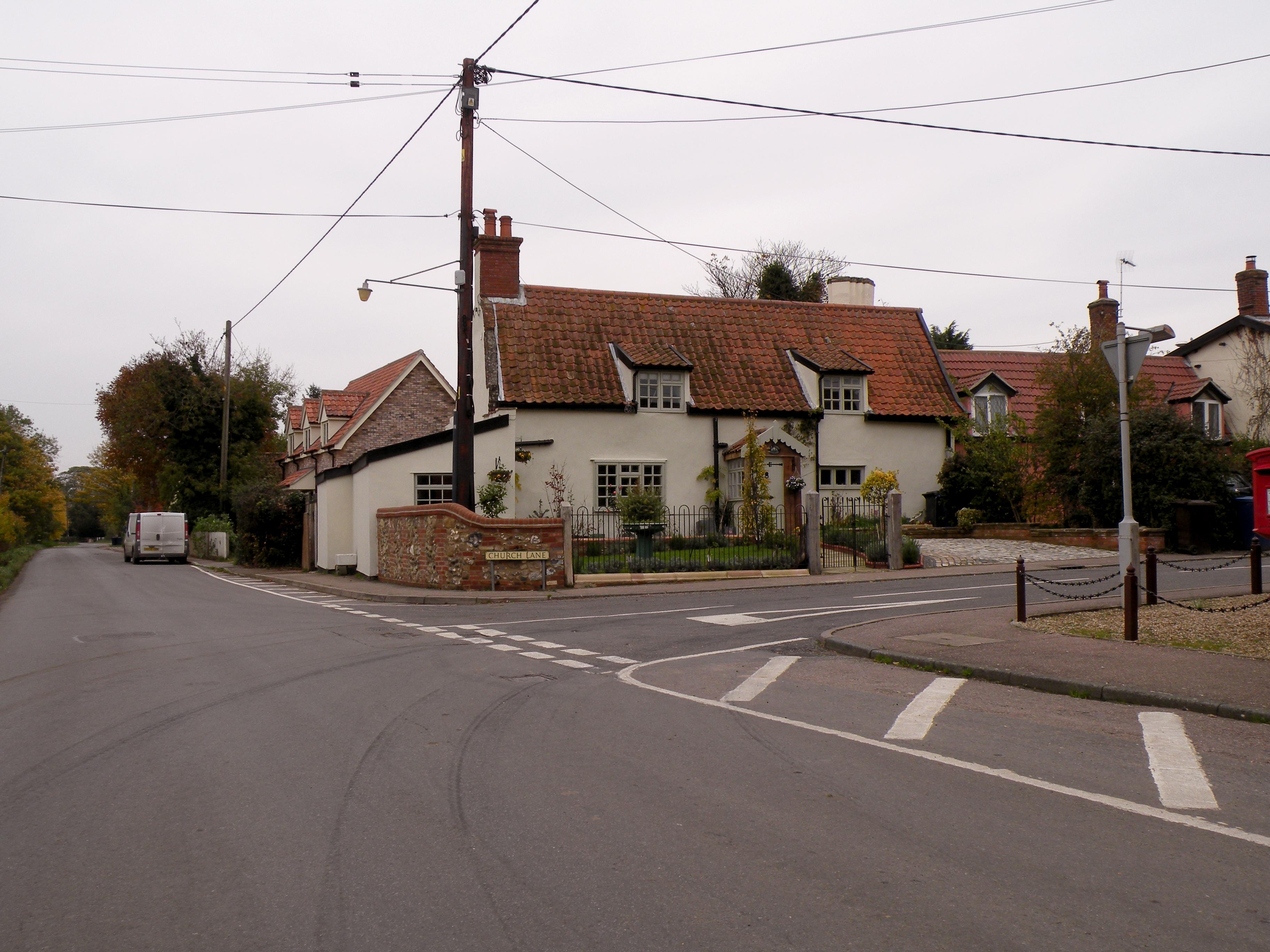
Barningham is a small village located in the county of Suffolk, in the eastern region of England. Situated approximately 7 miles northeast of the town of Bury St Edmunds, Barningham is known for its picturesque rural setting and tranquil atmosphere.
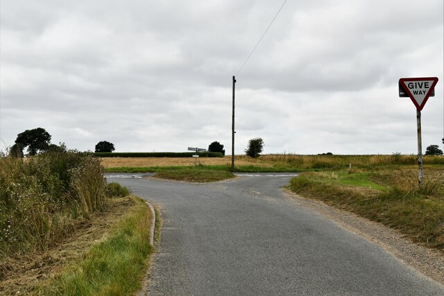
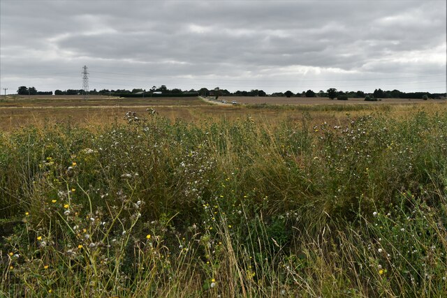
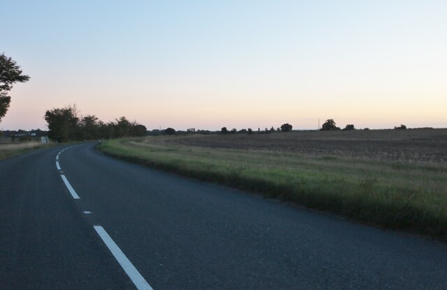
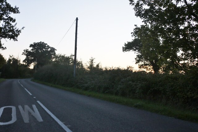
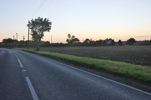
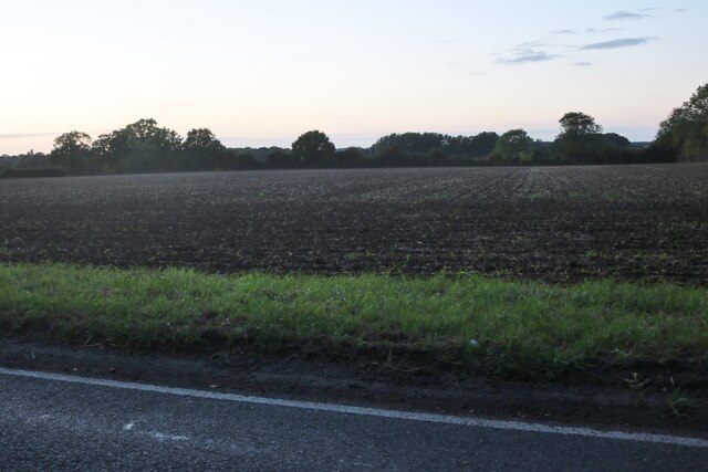
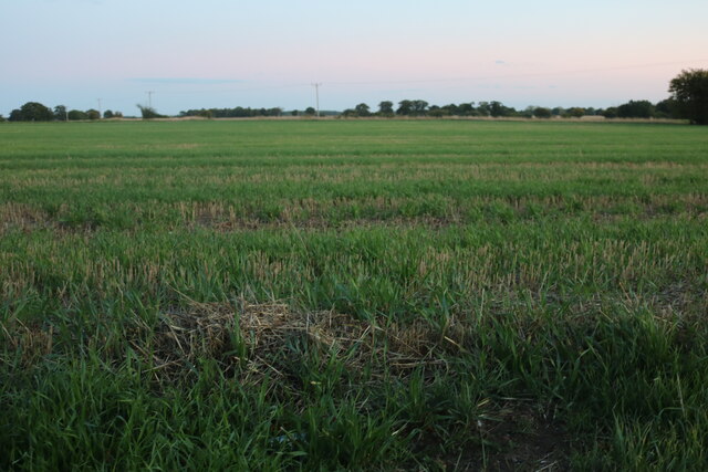
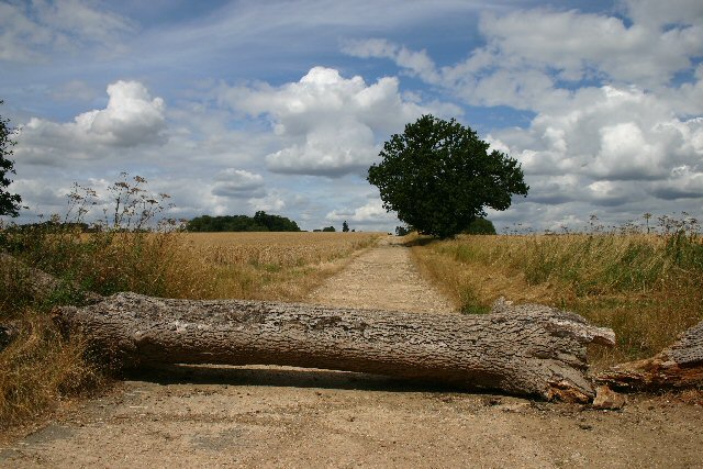
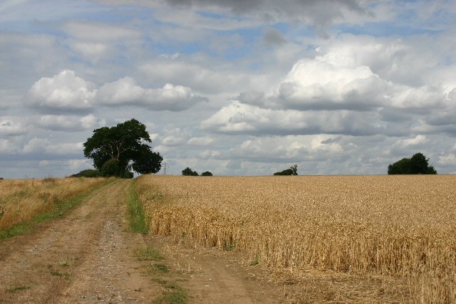
The village is surrounded by rolling countryside and offers stunning views of the Suffolk landscape. Barningham is primarily an agricultural community, with farming playing a significant role in the local economy. The fields surrounding the village are often filled with crops such as wheat, barley, and sugar beet.
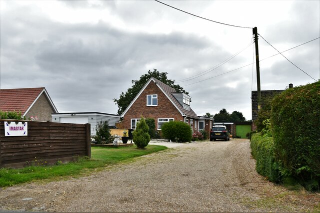
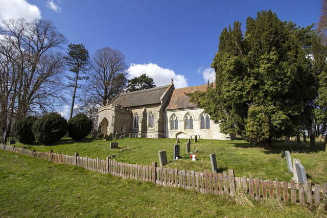
In terms of amenities, Barningham boasts a few essential facilities for its residents. These include a village hall, a primary school, a post office, and a pub. The village hall serves as a hub for community events and gatherings, while the local pub provides a place for residents and visitors to socialize and enjoy traditional British pub food and drinks.
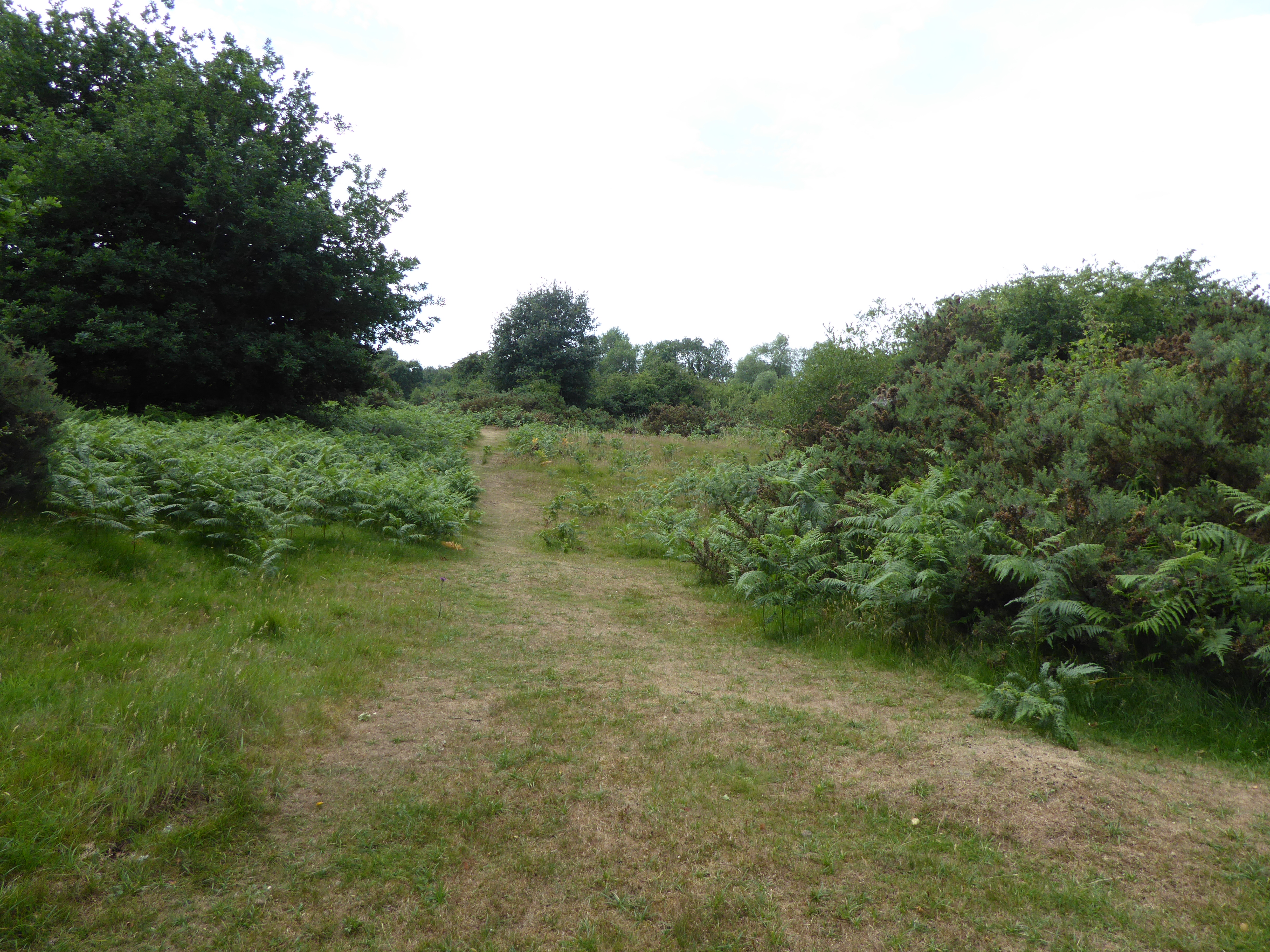
For those who appreciate outdoor activities, Barningham offers several opportunities for exploration and recreation. The village is surrounded by footpaths and bridleways, making it an ideal location for walkers, hikers, and horse riders. The nearby River Blackbourne also provides a pleasant spot for fishing and wildlife watching.
Overall, Barningham offers a peaceful and idyllic retreat from the hustle and bustle of city life. With its charming countryside setting and friendly community, it is a delightful place to visit or call home for those seeking a rural escape in Suffolk.
If you have any feedback on the listing, please let us know in the comments section below.
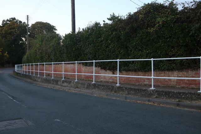
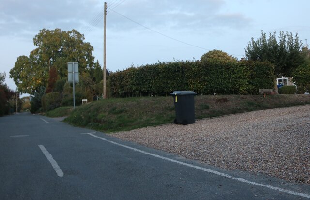
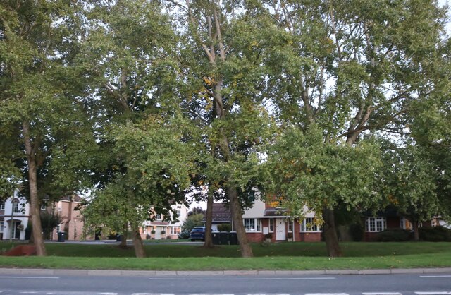
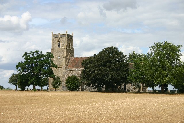
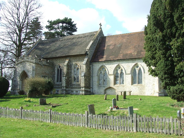
Barningham Images
Images are sourced within 2km of 52.353457/0.88877584 or Grid Reference TL9676. Thanks to Geograph Open Source API. All images are credited.


Barningham is located at Grid Ref: TL9676 (Lat: 52.353457, Lng: 0.88877584)
Administrative County: Suffolk
District: West Suffolk
Police Authority: Suffolk
What 3 Words
///reminds.clicker.bedroom. Near Ixworth, Suffolk
Nearby Locations
Related Wikis
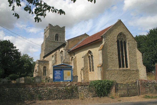
Barningham, Suffolk
Barningham is a village and civil parish in the West Suffolk district of Suffolk, England, about twelve miles north-east of Bury St Edmunds. According...
Market Weston
Market Weston is a small village and civil parish in the West Suffolk district of Suffolk in eastern England. It is located near the Norfolk border around...
Coney Weston
Coney Weston is a village and civil parish in Suffolk, England, within the West Suffolk district. It is a primarily rural residential town that has dormitory...
Weston Fen, Suffolk
Weston Fen is a 49.7-hectare (123-acre) biological Site of Special Scientific Interest in Hopton in Suffolk. It is part of the Waveney and Little Ouse...

Stanton Chare
Stanton Chare is a hamlet in West Suffolk district, Suffolk, England. It is near the large village of Stanton. The A143 road and B1111 road are nearby...
Hepworth, Suffolk
Hepworth is a village and civil parish in the West Suffolk district of the English county of Suffolk. Nearby settlements include the villages of Stanton...

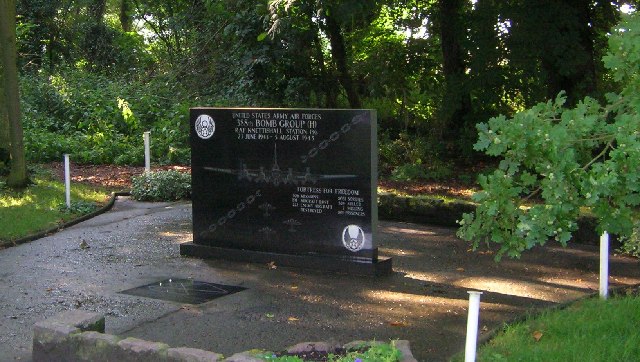
RAF Knettishall
RAF Knettishall is a former World War II airfield in Suffolk. During the conflict, it was numbered as Station 136 by the United States Army Air Forces...

Bowbeck
Bowbeck is a hamlet in Suffolk, England. == External links == Media related to Bowbeck at Wikimedia Commons
Nearby Amenities
Located within 500m of 52.353457,0.88877584Have you been to Barningham?
Leave your review of Barningham below (or comments, questions and feedback).