Barningham

Civil Parish in Suffolk St Edmundsbury

England

Barningham

Barningham: The junction of Market Weston Road with the B1111
Barningham: The junction of Market Weston Road with the B1111 Credit: Michael Garlick

Barningham is a civil parish located in the county of Suffolk, England. It is situated in the St. Edmundsbury district and covers an area of approximately 1,200 hectares. The village of Barningham lies about 11 miles northeast of the town of Bury St. Edmunds and is surrounded by picturesque countryside.

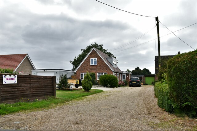
Barningham is a small and close-knit community, with a population of around 350 residents. The parish includes a mix of residential properties, including traditional thatched cottages and more modern houses. The village also has a number of listed buildings, showcasing its historical charm.

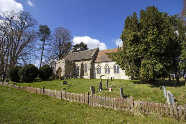
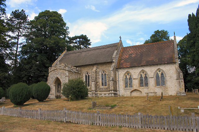
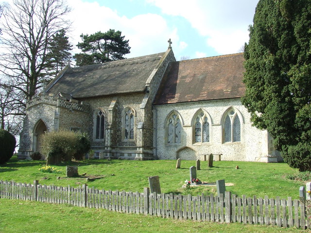
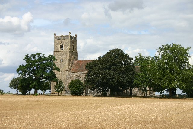
In terms of amenities, Barningham boasts a village hall which serves as a central hub for social gatherings and community events. The village also has a church, St. Andrew's, which dates back to the 14th century and is a prominent local landmark. Additionally, there is a primary school located in the neighboring village of Stanton, which serves the educational needs of Barningham's children.

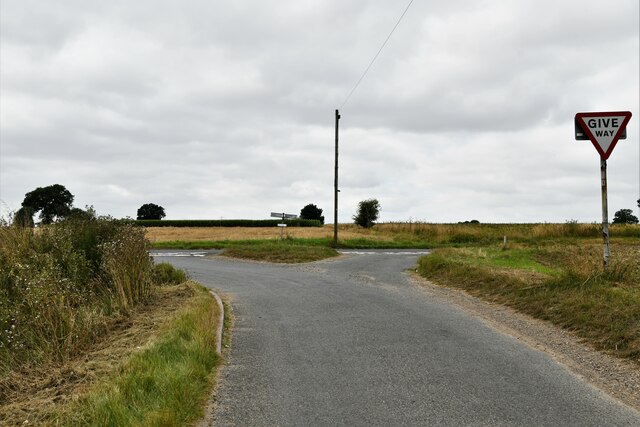
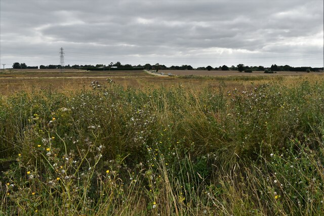
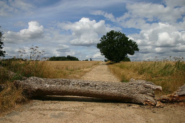
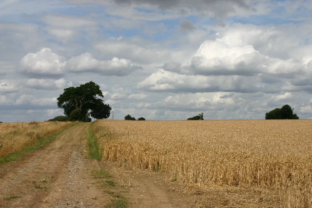
The surrounding countryside provides opportunities for outdoor activities such as walking and cycling, with several footpaths and bridleways crisscrossing the area. Barningham is also located near the Thetford Forest Park, offering further recreational options.

Overall, Barningham is a peaceful and picturesque village that offers a rural lifestyle with easy access to nearby towns and amenities. Its rich history and natural beauty make it an attractive place to live or visit for those seeking a tranquil setting in the Suffolk countryside.

If you have any feedback on the listing, please let us know in the comments section below.
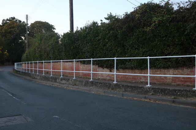
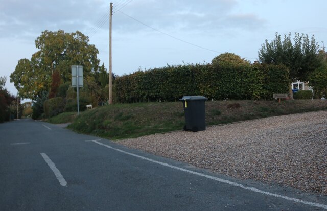
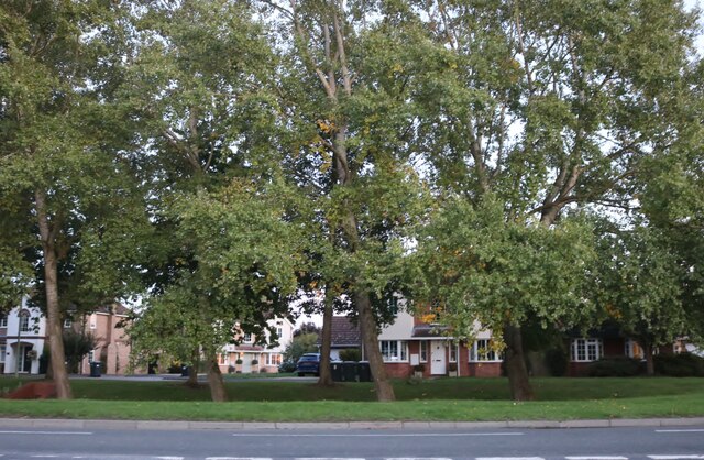
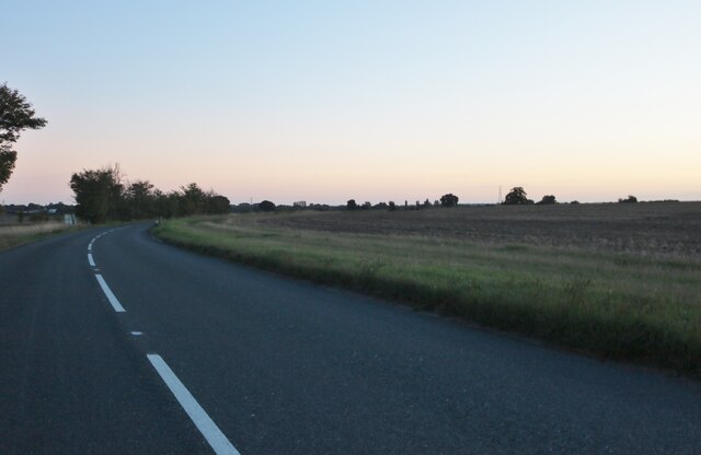
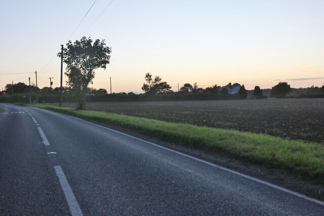
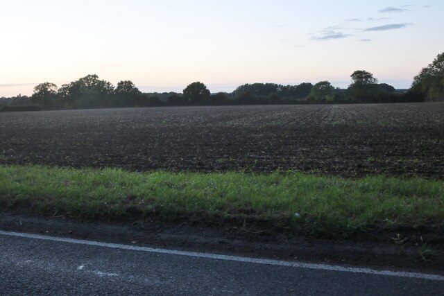
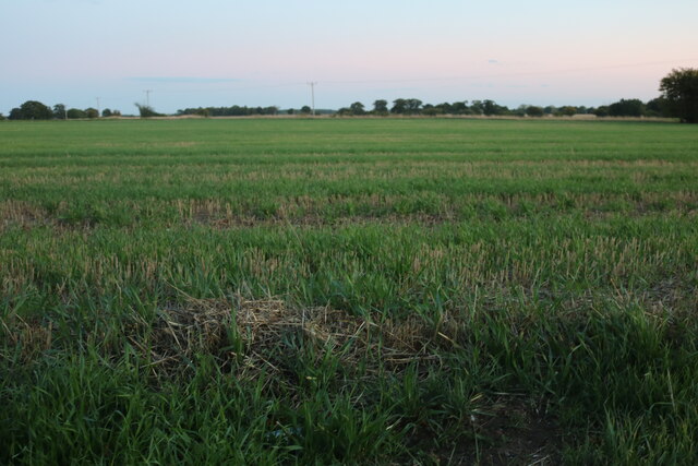
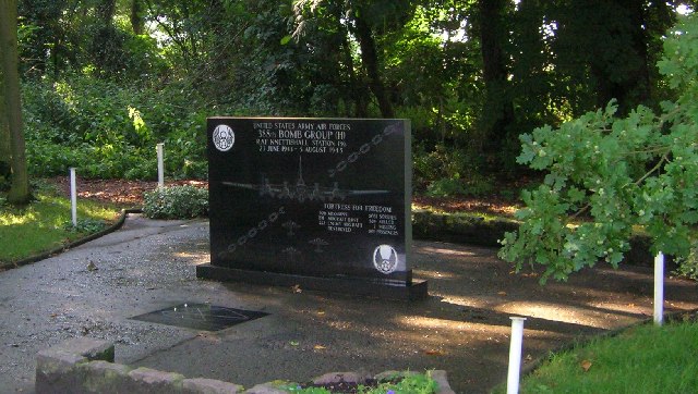
Barningham Images

Images are sourced within 2km of 52.353789/0.884718 or Grid Reference TL9676. Thanks to Geograph Open Source API. All images are credited.

Barningham: The junction of Market Weston Road with the B1111
Barningham: Looking towards Stanton Road (B1111)
Barningham: 'Imastar', Hepworth Road
St. Mary's Church
St. Mary's Church
Power lines across Barningham
Church Road, Barningham
Mill Road, Barningham
Hopton Road, Barningham
Stanton Road, Barningham
Hopton Road, Market Weston
Field by Hopton Road, Market Weston
Field in Market Weston
Lest We Forget Memorial situated at a peaceful country crossroads commemorating the men of the USAAF 388th Bomb Group (H), stationed at RAF Knettishall, a little to the NW, from 1943 - 1945.
Check out:  <span class="nowrap"><a title="http://www.388thbg.org/" rel="nofollow ugc noopener" href="http://www.388thbg.org/">Link</a><img style="margin-left:2px;" alt="External link" title="External link - shift click to open in new window" src="https://s1.geograph.org.uk/img/external.png" width="10" height="10"/></span>
Lest We Forget
Memorial situated at a peaceful country crossroads commemorating the men of the USAAF 388th Bomb Group (H), stationed at RAF Knettishall, a little to the NW, from 1943 - 1945. Check out: LinkExternal link
Coney Weston Church St Mary's church is a mile east of the village.  It is unusual in that it has no tower.
Coney Weston Church
St Mary's church is a mile east of the village. It is unusual in that it has no tower.
No entry! This farmer certainly means business.  The track leads only to a small plantation.
No entry!
This farmer certainly means business. The track leads only to a small plantation.
Barningham Church St Andrew's church shares its location between Anglican and Methodist congregations.
Barningham Church
St Andrew's church shares its location between Anglican and Methodist congregations.
Bridleway to Bardwell Road This bridleway links the B1111 Stanton Road with a minor road to Bardwell.
Bridleway to Bardwell Road
This bridleway links the B1111 Stanton Road with a minor road to Bardwell.
Conservation walk alongside the B1111 DEFRA funding has enabled the farmer to set aside a wide strip for conservation and recreational purposes.
Conservation walk alongside the B1111
DEFRA funding has enabled the farmer to set aside a wide strip for conservation and recreational purposes.
Show me another place!

Barningham is located at Grid Ref: TL9676 (Lat: 52.353789, Lng: 0.884718)

Administrative County: Suffolk

District: St Edmundsbury

Police Authority: Suffolk

What 3 Words

///relocated.lock.producers. Near Ixworth, Suffolk

Nearby Locations

Barningham Barningham

Related Wikis

Barningham, Suffolk

Barningham is a village and civil parish in the West Suffolk district of Suffolk, England, about twelve miles north-east of Bury St Edmunds. According...

Coney Weston

Coney Weston is a village and civil parish in Suffolk, England, within the West Suffolk district. It is a primarily rural residential town that has dormitory...

Market Weston

Market Weston is a small village and civil parish in the West Suffolk district of Suffolk in eastern England. It is located near the Norfolk border around...

Stanton Chare

Stanton Chare is a hamlet in West Suffolk district, Suffolk, England. It is near the large village of Stanton. The A143 road and B1111 road are nearby...

Nearby Amenities

Located within 500m of 52.353789,0.884718
Barningham
Place: village
Source: npe
Wikidata: Q4861858
Lat/Long: 52.35287/0.8902864
Bus Stop
Royal George
Naptan AtcoCode: 390020372
Naptan Bearing: SW
Naptan BusStopType: CUS
Naptan CommonName: Royal George
Naptan Indicator: opp
Naptan Landmark: Royal George
Naptan NaptanCode: sufjdtgd
Naptan Street: Mill Road
Naptan Verified: no
Source: naptan_import
Lat/Long: 52.3536334/0.8889862
Bus Stop
Royal George
Naptan AtcoCode: 390020373
Naptan Bearing: NE
Naptan BusStopType: CUS
Naptan CommonName: Royal George
Naptan Indicator: adj
Naptan Landmark: Royal George
Naptan NaptanCode: sufjdtgj
Naptan Street: Mill Road
Naptan Verified: no
Source: naptan_import
Lat/Long: 52.3536542/0.88887
Bus Stop
Royal George
Naptan AtcoCode: 390050074
Naptan Bearing: N
Naptan BusStopType: CUS
Naptan CommonName: Royal George
Naptan Indicator: N-bound
Naptan Landmark: Royal George
Naptan NaptanCode: sufgdgta
Naptan Street: Church Road
Naptan Verified: no
Source: naptan_import
Lat/Long: 52.3537774/0.8886137
Bus Stop
Royal George
Naptan AtcoCode: 390050075
Naptan Bearing: S
Naptan CommonName: Royal George
Naptan Indicator: S-bound
Naptan Landmark: Royal George
Naptan NaptanCode: sufgdgtd
Naptan Street: Church Road
Source: naptan_import;survey
Lat/Long: 52.3536524/0.8887822
Post Box
Collection Times: Mo-Fr 16:00; Sa 11:15
Operator: Royal Mail
Post Box Type: wall
Ref: IP31 2120
Royal Cypher: EIIR
Royal Cypher Wikidata: Q33102113
Lat/Long: 52.3531014/0.8890879
Bicycle Parking
Bicycle Parking: stands
Capacity: 4
Covered: no
Lat/Long: 52.3530198/0.8891966
Post Office
Barningham Post Office
Addr City: Bury St Edmunds
Addr Housenumber: 1
Addr Postcode: IP31 1DD
Addr Street: Church Road
Addr Village: Barningham
Brand: Post Office
Brand Wikidata: Q1783168
Opening Hours: Mo-Sa 06:30-22:00; Su 07:00-22:00
Ref Pol Id: 1126
Source Addr: pol_branch_list_2018-01
Website: https://www.postoffice.co.uk/branch-finder/0951129/barningham
Lat/Long: 52.3530631/0.8890433
Waste Basket
Waste: trash
Lat/Long: 52.3537331/0.8881371
Bench
Backrest: no
Lat/Long: 52.3540128/0.8862475
Waste Basket
Waste: trash
Lat/Long: 52.3539813/0.8862743
Waste Basket
Waste: trash
Lat/Long: 52.3541926/0.88761
Leisure: picnic_table
Lat/Long: 52.3534267/0.8869676
Bench
Backrest: no
Material: wood
Lat/Long: 52.3562471/0.8883275
Bench
Backrest: yes
Material: wood
Lat/Long: 52.3546808/0.8886641
Bench
Backrest: yes
Material: wood
Lat/Long: 52.3551403/0.8883818
Barrier: kissing_gate
Foot: yes
Lat/Long: 52.3548907/0.8874722
Waste Basket
Waste: trash
Lat/Long: 52.353055/0.8891496
Bench
Backrest: yes
Material: wood
Lat/Long: 52.3530094/0.88921
Defibrillator
Defibrillator Location: On exterior of Spar
Emergency: defibrillator
Indoor: no
Operator: Community Heartbeat Trust
Ref: CHT-10099
Lat/Long: 52.3530557/0.8891356
Entrance: main
Lat/Long: 52.3530791/0.8891112
The data included in this document is from www.openstreetmap.org. The data is made available under ODbL.

Have you been to Barningham?

Leave your review of Barningham below (or comments, questions and feedback).