Barningham

Settlement in Yorkshire

England

Barningham

Footbridge and ford over minor stream near Barningham A very substantial bridge for such a minor crossing! The stream seems to descend a shallow valley known as East Langbrough which is behind the camera position; its water flows onward to enter the River Greta.
Footbridge and ford over minor stream near Barningham Credit: Trevor Littlewood

Barningham is a small village located in the district of Richmondshire, in the county of Yorkshire, England. Situated in the northern region of the Yorkshire Dales, this picturesque village is surrounded by rolling hills, lush greenery, and picturesque landscapes. It lies approximately 11 miles northwest of the market town of Richmond and 21 miles southwest of the city of Durham.

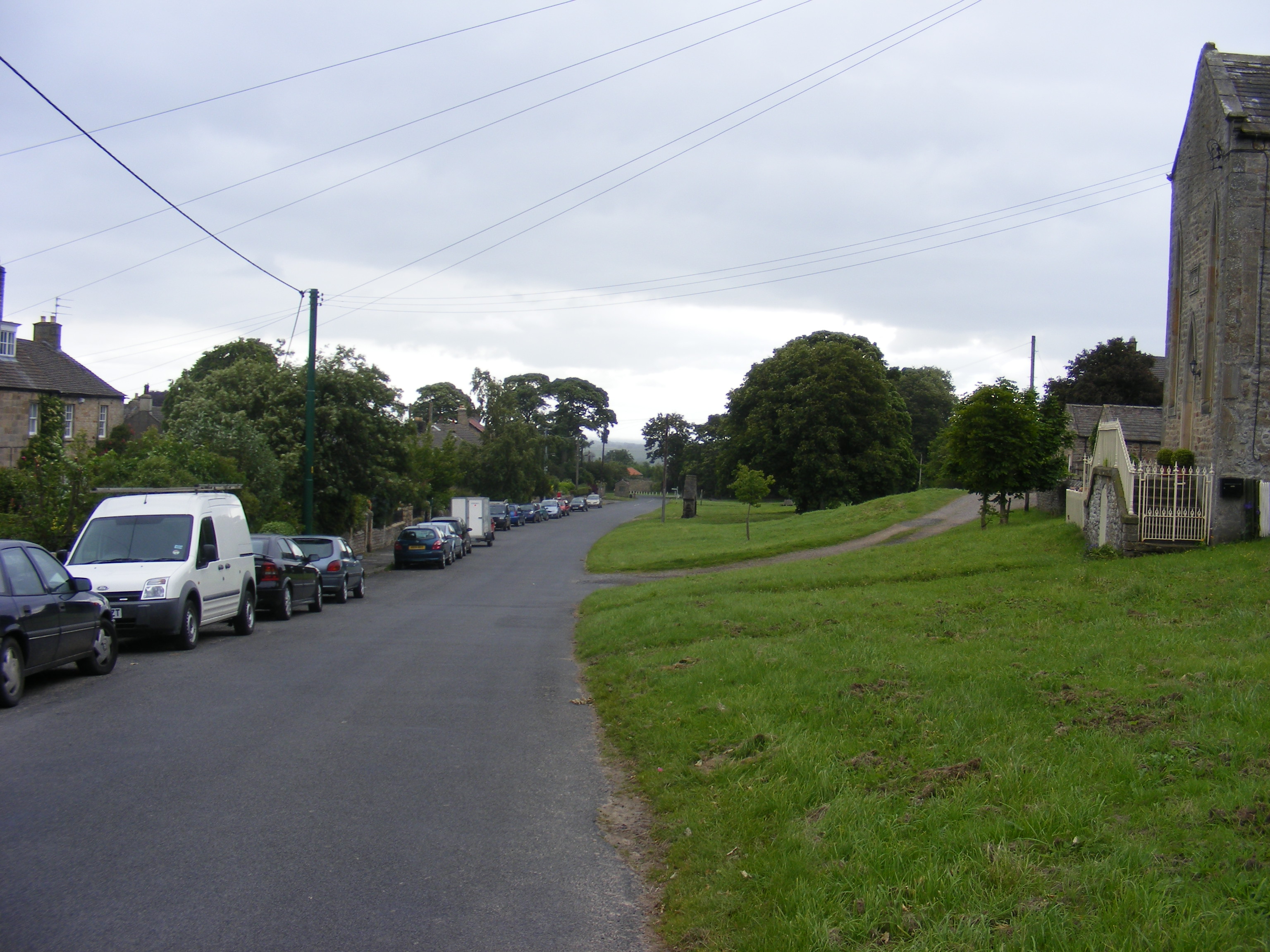
With a population of around 300 residents, Barningham is known for its quaint and peaceful atmosphere. The village is primarily made up of traditional stone-built houses and cottages, giving it a charming and timeless appeal. The local community takes great pride in preserving the village's heritage, evident in the well-maintained architecture and beautifully manicured gardens.

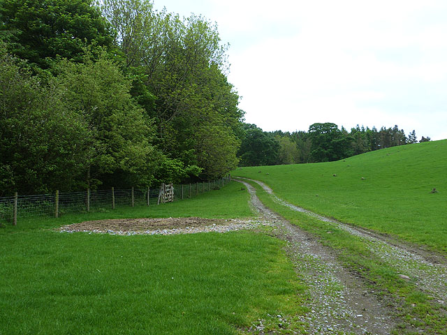
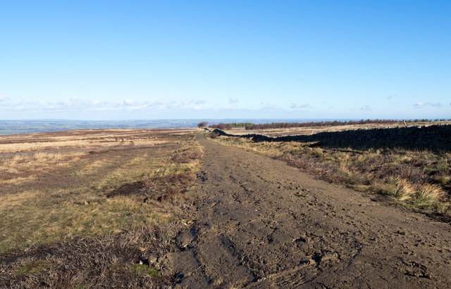
Barningham is blessed with natural beauty, making it a popular destination for outdoor enthusiasts. The village is surrounded by stunning countryside, offering opportunities for hiking, cycling, and birdwatching. The nearby River Greta provides a serene setting for fishing and leisurely walks along its banks. Additionally, Barningham is located near the popular Teesdale Way long-distance footpath, attracting walkers from all over.

Despite its small size, Barningham has a welcoming community spirit and offers several amenities for residents and visitors. These include a village hall, a primary school, a pub, and a church. The village also hosts various events throughout the year, such as the Barningham Fair, which showcases local crafts, produce, and entertainment.

In conclusion, Barningham is a charming village nestled in the scenic Yorkshire Dales. With its idyllic setting, outdoor activities, and close-knit community, it provides a peaceful retreat for those seeking a taste of rural Yorkshire.

If you have any feedback on the listing, please let us know in the comments section below.

Barningham Images

Images are sourced within 2km of 54.488056/-1.870684 or Grid Reference NZ0810. Thanks to Geograph Open Source API. All images are credited.

Footbridge and ford over minor stream near Barningham A very substantial bridge for such a minor crossing! The stream seems to descend a shallow valley known as East Langbrough which is behind the camera position; its water flows onward to enter the River Greta.
Footbridge and ford over minor stream near Barningham
A very substantial bridge for such a minor crossing! The stream seems to descend a shallow valley known as East Langbrough which is behind the camera position; its water flows onward to enter the River Greta.
Gordale Gill Road crossing Gordale Gill near Crossbeck Bridge.
Gordale Gill
Road crossing Gordale Gill near Crossbeck Bridge.
Bragg House Bragg House on the edge of Barningham  Moor.
Bragg House
Bragg House on the edge of Barningham Moor.
Enclosure east of Cathaw Stoop Cathaw Stoop is a stone - boundary or direction giving - embedded into a wall beside a stile where a public footpath crosses into this enclosure. The path continues beside the wall on the left side of the 'field' which, unaccountably, is not classified as access land.
Enclosure east of Cathaw Stoop
Cathaw Stoop is a stone - boundary or direction giving - embedded into a wall beside a stile where a public footpath crosses into this enclosure. The path continues beside the wall on the left side of the 'field' which, unaccountably, is not classified as access land.
Gates at entry to Barningham Park A public footpath enters Barningham Park at its east side through one of the gates here - presumably the less grand one! The monument mounted in the wall commemorates the building of the wall, the creation of the deer park and the planting of trees between 1857 and 1859. Also mentioned is the erection of a model farm in 1863. All of these works were 'Designed and Executed by Augustus Sussex Milbank'... bet he had some help!
Gates at entry to Barningham Park
A public footpath enters Barningham Park at its east side through one of the gates here - presumably the less grand one! The monument mounted in the wall commemorates the building of the wall, the creation of the deer park and the planting of trees between 1857 and 1859. Also mentioned is the erection of a model farm in 1863. All of these works were 'Designed and Executed by Augustus Sussex Milbank'... bet he had some help!
Hawthorn in Gordale Gill There are few trees or shrubs on this bit of moor, managed for grouse and the usual mix of heather of differing times since the last burn, and bracken invading the damper areas. This rather fine specimen hawthorn (Crataegus monogyna) was the exception and clearly provides a bit of shelter for the odd sheep that eke out a living on the grassier areas.
Hawthorn in Gordale Gill
There are few trees or shrubs on this bit of moor, managed for grouse and the usual mix of heather of differing times since the last burn, and bracken invading the damper areas. This rather fine specimen hawthorn (Crataegus monogyna) was the exception and clearly provides a bit of shelter for the odd sheep that eke out a living on the grassier areas.
Gate and field off Moor Lane
Chapel Gill
Chapel Gill
Farm Track beside Whinny Gill Whinny Gill runs through the woods to the left.
Farm Track beside Whinny Gill
Whinny Gill runs through the woods to the left.
A long descent to Newsham The long straight road to Newsham off the moor. A straight road and straight field boundaries would suggest that this is most likely a 19thC enclosure road. The view is across the lowlands by the A66 and towards the Tees.
A long descent to Newsham
The long straight road to Newsham off the moor. A straight road and straight field boundaries would suggest that this is most likely a 19thC enclosure road. The view is across the lowlands by the A66 and towards the Tees.
Mud road! An outrageous piece of work!
From near to the village of Barningham a wall runs near to south-west climbing to be on moorland. For much of the way a public footpath runs alongside its west side and it 
has given a very pleasant and easy way to the trig point at How Tallon.
Recently however this elongated strip of what can only be called mud has been laid on top of the path line; it's presently a glutinous mass that is extraordinarily unpleasant to walk on and if used by wheeled vehicles will probably be cut into ruts. In addition the ground adjacent to the new road has been badly disturbed by the works making that almost as difficult and unattractive for use by walkers.
Apart from all that, it's a hideous eyesore.
All of that has been done presumably so that 'guns' can be carried a little more easily to the grouse killing grounds!
Mud road!
An outrageous piece of work! From near to the village of Barningham a wall runs near to south-west climbing to be on moorland. For much of the way a public footpath runs alongside its west side and it has given a very pleasant and easy way to the trig point at How Tallon. Recently however this elongated strip of what can only be called mud has been laid on top of the path line; it's presently a glutinous mass that is extraordinarily unpleasant to walk on and if used by wheeled vehicles will probably be cut into ruts. In addition the ground adjacent to the new road has been badly disturbed by the works making that almost as difficult and unattractive for use by walkers. Apart from all that, it's a hideous eyesore. All of that has been done presumably so that 'guns' can be carried a little more easily to the grouse killing grounds!
A fairly large bull on Silver Hill Thankfully he seemed more interestaded in the heifers in the next field than he dd on the cameraman.
A fairly large bull on Silver Hill
Thankfully he seemed more interestaded in the heifers in the next field than he dd on the cameraman.
Lands Lodge The heap of stones in the photo are the scant remains of a building known as Lands Lodge, shown on the 1854 map of Yorkshire. Although the cows around here don't seem to be too bothered.
Lands Lodge
The heap of stones in the photo are the scant remains of a building known as Lands Lodge, shown on the 1854 map of Yorkshire. Although the cows around here don't seem to be too bothered.
Barningham Ford This bridleway ford on the Kyloe Beck is found at Barningham. A video of the ford can be seen at:
<span class="nowrap"><a title="https://youtu.be/HXScyAifBv0" rel="nofollow ugc noopener" href="https://youtu.be/HXScyAifBv0">Link</a><img style="margin-left:2px;" alt="External link" title="External link - shift click to open in new window" src="https://s1.geograph.org.uk/img/external.png" width="10" height="10"/></span>
Barningham Ford
This bridleway ford on the Kyloe Beck is found at Barningham. A video of the ford can be seen at: LinkExternal link
Moor Lane Looking west.
Moor Lane
Looking west.
Bridleway into Barningham Bridleway descending into Barningham.
Bridleway into Barningham
Bridleway descending into Barningham.
Moorcock Farm Farmhouse at the edge of the moor. The view is north west and to the right of the picture is the limestone outcrop of Kilmonds Scar, whilst to the left and in the far distance the fells rise towards Mickle Fell.
Moorcock Farm
Farmhouse at the edge of the moor. The view is north west and to the right of the picture is the limestone outcrop of Kilmonds Scar, whilst to the left and in the far distance the fells rise towards Mickle Fell.
Old railway van beside wall The van is at the northern end of Carter Allotment; there's been a little deterioration since Andy Waddington made a similar photograph in November 2009 - <a title="https://www.geograph.org.uk/photo/1596792" href="https://www.geograph.org.uk/photo/1596792">Link</a>.
Old railway van beside wall
The van is at the northern end of Carter Allotment; there's been a little deterioration since Andy Waddington made a similar photograph in November 2009 - Link.
Show me another place!

Barningham is located at Grid Ref: NZ0810 (Lat: 54.488056, Lng: -1.870684)

Division: North Riding

Unitary Authority: County Durham

Police Authority: Durham

What 3 Words

///uncouth.relishing.round. Near Barningham, Co. Durham

Related Wikis

Milbank Arms, Barningham

The Milbank Arms is a Grade II listed public house at Barningham, County Durham. Built in the early 19th century, it spent a period as a hotel before converting...

Barningham Park

Barningham Park is a Grade II* listed country house and 7,000 acre estate located in the village of Barningham, County Durham (formerly the North Riding...

Barningham, County Durham

Barningham is a village in County Durham, in the Pennines of England. == History == Barningham is listed in the Domesday Book under the Gilling Wapentake...

Newsham, Richmondshire

Newsham is a village and civil parish in the Richmondshire district of North Yorkshire, England. The village is 8 miles (13 km) north west of Richmond...

Nearby Amenities

Located within 500m of 54.488056,-1.870684
Barningham
Place: village
Wikidata: Q2077805
Wikipedia: en:Barningham, County Durham
Lat/Long: 54.4881426/-1.8722409
Bus Stop
Village
Naptan AtcoCode: 13007118C
Naptan Bearing: E
Naptan CommonName: Village
Naptan Indicator: east bound
Naptan Landmark: Outside The Old Rectory
Naptan NaptanCode: durdwdmd
Naptan Street: Unclassified road
Naptan Verified: no
Shelter: yes
Source: naptan_import
Lat/Long: 54.4881753/-1.8700176
Bus Stop
Village
Naptan AtcoCode: 13007118G
Naptan Bearing: W
Naptan CommonName: Village
Naptan Indicator: west bound
Naptan Landmark: opposite The Old Rectory
Naptan NaptanCode: durdwdmg
Naptan Street: Unclassified road
Naptan Verified: no
Source: naptan_import
Lat/Long: 54.4880839/-1.8699916
Post Box
Post Box Type: lamp
Lat/Long: 54.4880425/-1.8715186
Telephone
Booth: K6
Colour: green
Covered: booth
Listed Status: Grade II
Man Made: telephone_box
Note: not sure if still has working phone inside
Tourism: gallery
Wikidata: Q26671052
Lat/Long: 54.4879538/-1.8725782
Summerhouse Hill
Natural: peak
Lat/Long: 54.485185/-1.8689466
Adam Hill
Natural: peak
Lat/Long: 54.4858252/-1.8641085
Image: https://www.geograph.org.uk/photo/2391475
Listed Status: Grade II
Man Made: water_well
Wikidata: Q26647308
Lat/Long: 54.4878692/-1.871978
Hill Top Farm
Place: farm
Source Name: OS_OpenData_StreetView
Lat/Long: 54.4866563/-1.8750277
Bench
Lat/Long: 54.4879827/-1.8700721
Barrier: stile
Lat/Long: 54.4910935/-1.8746361
The data included in this document is from www.openstreetmap.org. The data is made available under ODbL.

Have you been to Barningham?

Leave your review of Barningham below (or comments, questions and feedback).