Adam Hill
Hill, Mountain in Yorkshire
England
Adam Hill

Adam Hill is a prominent landmark located in the county of Yorkshire, England. Situated in the picturesque Yorkshire Dales National Park, it stands proudly at an elevation of approximately 600 meters, making it one of the highest peaks in the area. This majestic hill offers breathtaking panoramic views of the surrounding countryside, with its steep slopes covered in lush green vegetation during the warmer months.
The summit of Adam Hill provides visitors with a fantastic vantage point to admire the stunning scenery of the Yorkshire Dales. On clear days, one can observe the rolling hills, charming valleys, and meandering rivers that characterize this region. It is a popular spot for nature enthusiasts, hikers, and photographers who are drawn to its natural beauty and tranquility.
The hill itself is composed of a mixture of rocks and soil, creating a challenging terrain for those who wish to conquer its peak. The ascent can be steep and arduous, but the reward of reaching the top is well worth the effort. It offers a sense of achievement and a chance to connect with nature on a deeper level.
Adam Hill is surrounded by a diverse ecosystem, supporting a variety of flora and fauna. It provides a habitat for numerous bird species, including the iconic red grouse, which is often spotted darting across the hillside. Other wildlife, such as rabbits, foxes, and even deer, can also be encountered during a visit to this area.
Preserved and protected by the Yorkshire Dales National Park Authority, Adam Hill is a cherished natural landmark that showcases the raw beauty of Yorkshire's countryside.
If you have any feedback on the listing, please let us know in the comments section below.
Adam Hill Images
Images are sourced within 2km of 54.486132/-1.8649054 or Grid Reference NZ0810. Thanks to Geograph Open Source API. All images are credited.


Adam Hill is located at Grid Ref: NZ0810 (Lat: 54.486132, Lng: -1.8649054)
Division: North Riding
Unitary Authority: County Durham
Police Authority: Durham
What 3 Words
///cats.edit.blemishes. Near Barningham, Co. Durham
Nearby Locations
Related Wikis

Barningham Park
Barningham Park is a Grade II* listed country house and 7,000 acre estate located in the village of Barningham, County Durham (formerly the North Riding...

Milbank Arms, Barningham
The Milbank Arms is a Grade II listed public house at Barningham, County Durham. Built in the early 19th century, it spent a period as a hotel before converting...
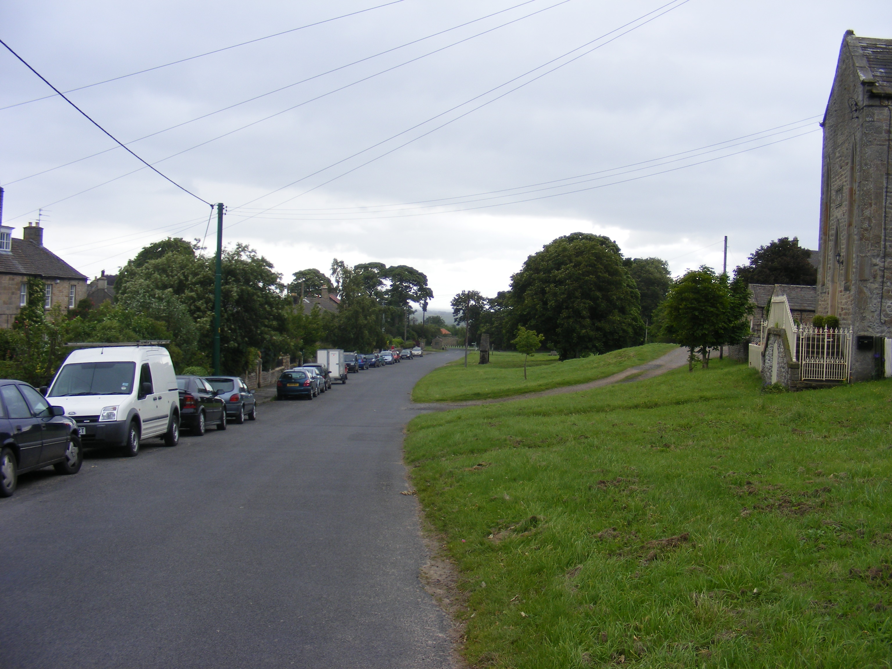
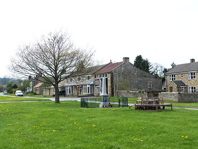
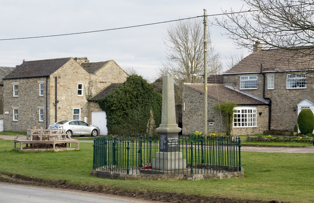
Barningham, County Durham
Barningham is a village in County Durham, in the Pennines of England. == History == Barningham is listed in the Domesday Book under the Gilling Wapentake...

Newsham, Richmondshire
Newsham is a village and civil parish in the Richmondshire district of North Yorkshire, England. The village is 8 miles (13 km) north west of Richmond...
Nearby Amenities
Located within 500m of 54.486132,-1.8649054Have you been to Adam Hill?
Leave your review of Adam Hill below (or comments, questions and feedback).