Barningham Green
Settlement in Norfolk North Norfolk
England
Barningham Green
Barningham Green is a small village located in the county of Norfolk, England. Situated in the eastern part of the country, it is nestled in the heart of the picturesque Norfolk countryside. The village is part of the larger parish of Barningham, which encompasses several other nearby hamlets.
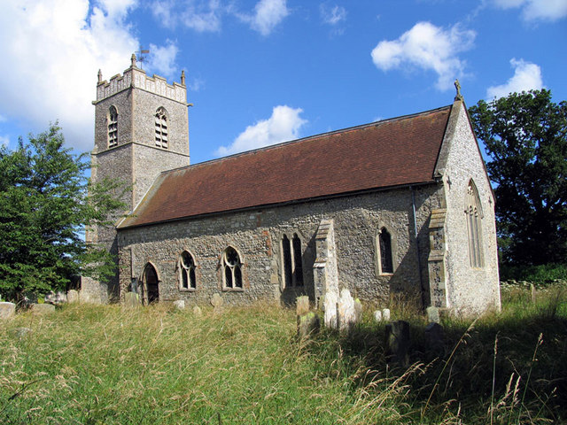
With a population of around 200 residents, Barningham Green exudes a tranquil and close-knit community atmosphere. The village is characterized by its charming and well-preserved traditional English cottages, many of which date back several centuries. These quaint houses, along with the surrounding green fields and rolling hills, contribute to the village's picturesque appeal.
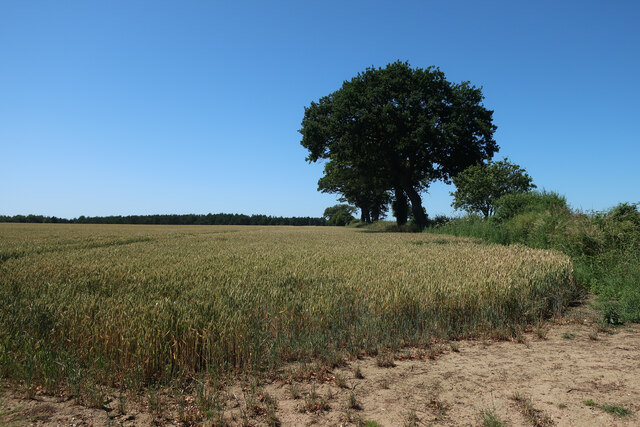
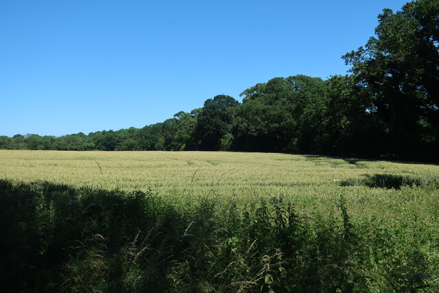
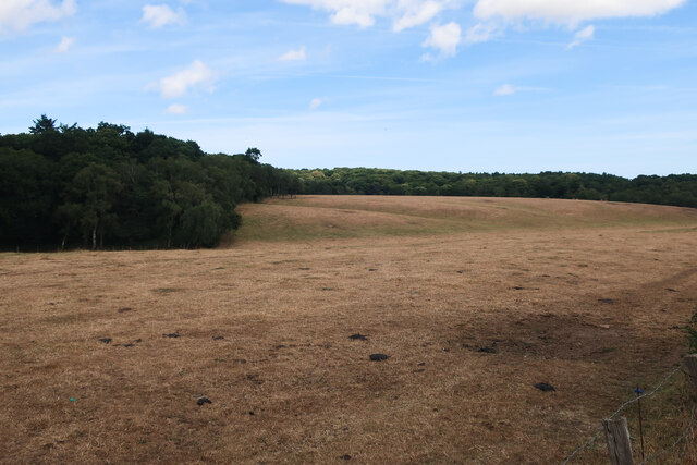
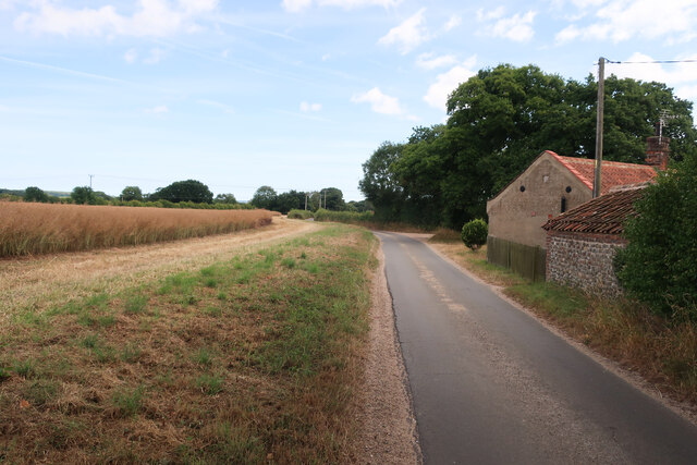
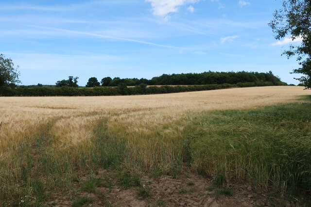
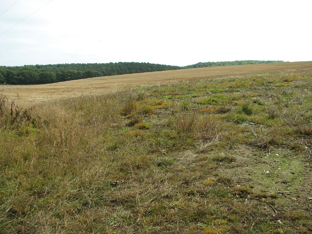
Barningham Green is known for its strong agricultural heritage, with farming playing a significant role in the local economy. The village is surrounded by fertile farmland, where various crops are cultivated, and livestock rearing is practiced.
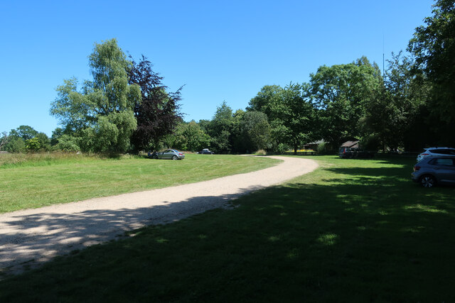
The village also boasts a few amenities for its residents, including a village hall, a primary school, and a local pub. The village hall serves as a community center, hosting various events and gatherings throughout the year. The primary school provides education to the local children, fostering a sense of continuity and community pride.
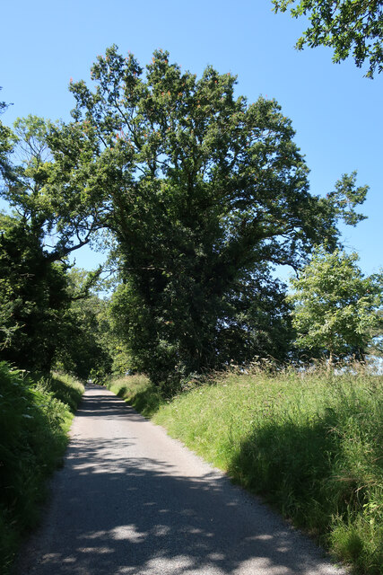
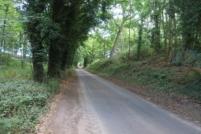
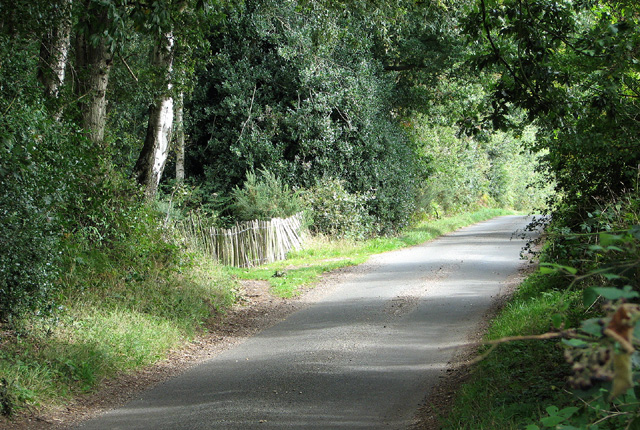
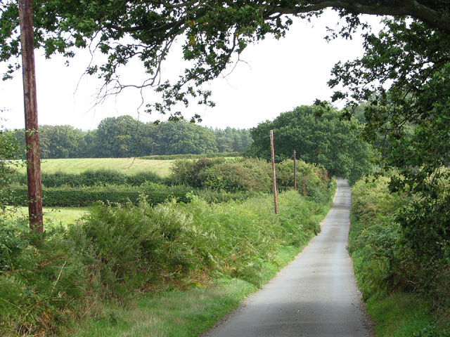
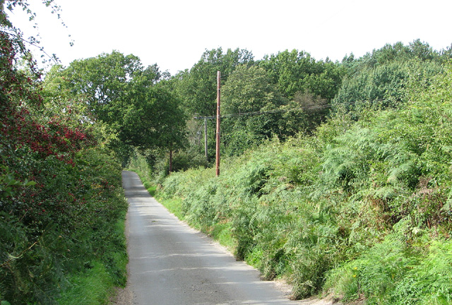
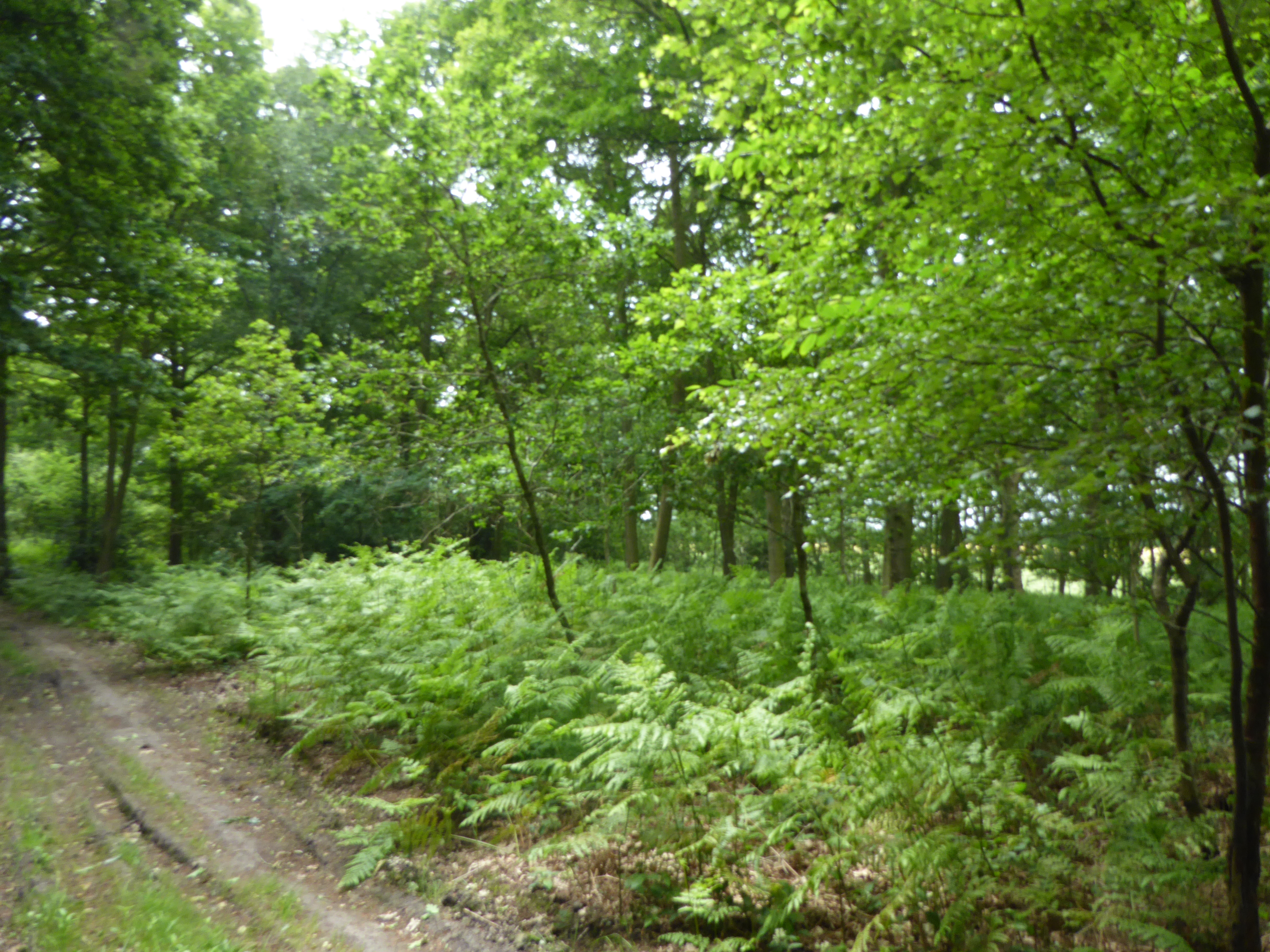
For those seeking outdoor leisure activities, Barningham Green offers an abundance of scenic walking trails and opportunities to explore the surrounding countryside. It is an ideal location for nature enthusiasts and those looking to escape the hustle and bustle of city life.
In summary, Barningham Green is a peaceful and picturesque village in Norfolk, England, where farming traditions and a strong sense of community prevail. It offers residents and visitors alike a slice of rural English charm and a chance to embrace the beauty of the countryside.
If you have any feedback on the listing, please let us know in the comments section below.
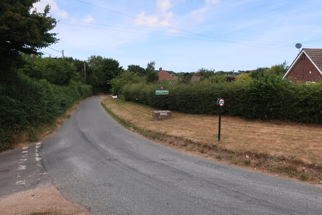
Barningham Green Images
Images are sourced within 2km of 52.856471/1.157892 or Grid Reference TG1233. Thanks to Geograph Open Source API. All images are credited.


Barningham Green is located at Grid Ref: TG1233 (Lat: 52.856471, Lng: 1.157892)
Administrative County: Norfolk
District: North Norfolk
Police Authority: Norfolk
What 3 Words
///showcase.ditched.recitals. Near Briston, Norfolk
Nearby Locations
Related Wikis

Little Barningham
Little Barningham is a village and a civil parish in the English county of Norfolk. The village is 19 miles (31 km) north of Norwich, 10 miles (16 km)...

Barningham Green
Barningham Green is a village in Norfolk, England. The villages name means 'Homestead/village of Beorn's people'. == References == http://kepn.nottingham...
Plumstead, Norfolk
Plumstead is a village and a civil parish in the English county of Norfolk. The village is 19.7 miles (31.7 km) north north west of Norwich, 9.5 miles...
Edgefield Little Wood
Edgefield Little Wood is a 5.3-hectare (13-acre) biological Site of Special Scientific Interest south of Holt in Norfolk.This is coppice with standards...
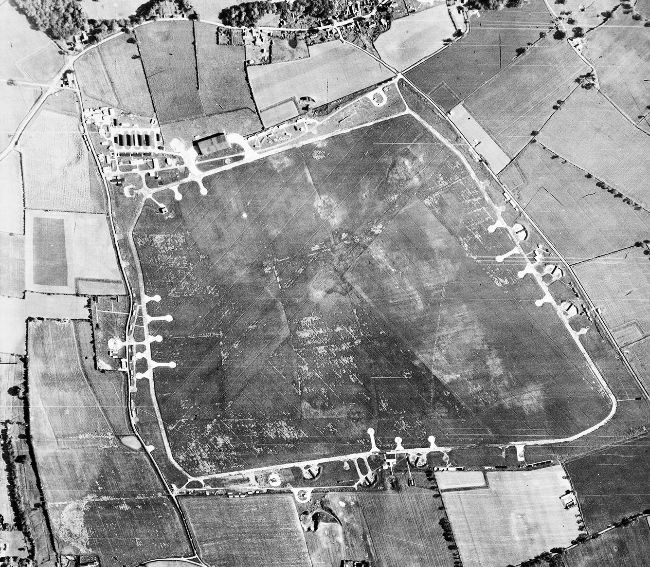
RAF Matlaske
Royal Air Force Matlaske or more simply RAF Matlaske is a former Royal Air Force satellite station to RAF Coltishall, situated near Matlaske in Norfolk...
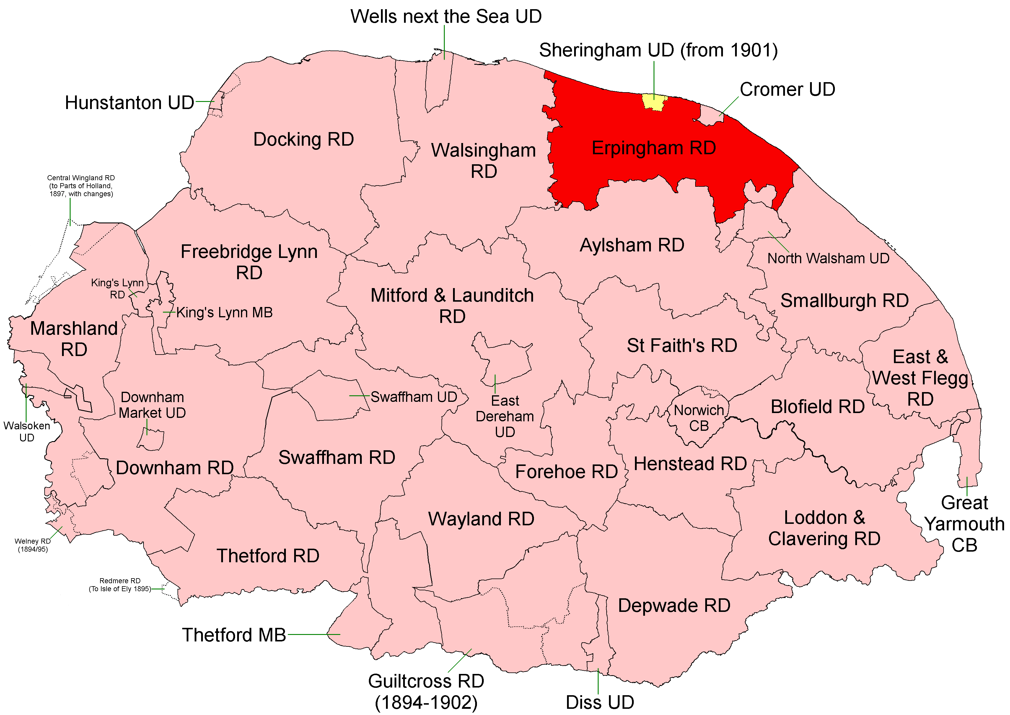
Erpingham Rural District
Erpingham Rural District was a rural district in Norfolk, England from 1894 to 1974.It was formed under the Local Government Act 1894 based on the Erpingham...

Matlaske
Matlaske is a village and a civil parish in the English county of Norfolk. The village is 21.6 miles (34.8 km) North-north-west of Norwich, 9.3 miles...
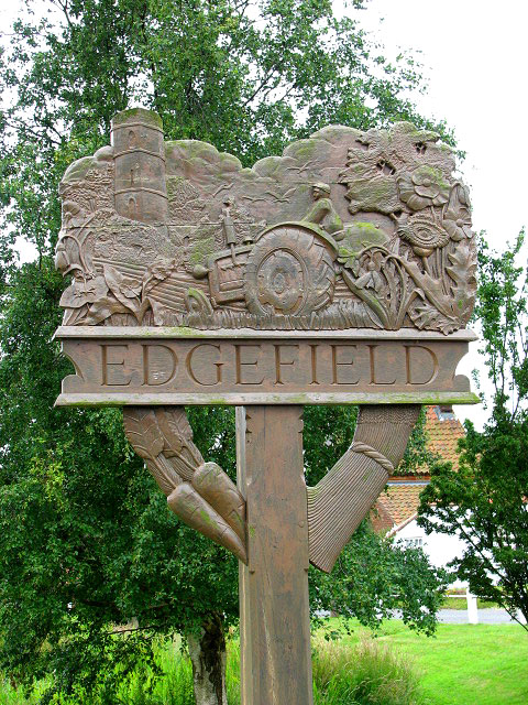
Edgefield, Norfolk
Edgefield is a village and a civil parish in the English county of Norfolk. The village is located 3.3 miles (5.3 km) south of Holt, 3.3 miles (5.3 km...
Nearby Amenities
Located within 500m of 52.856471,1.157892Have you been to Barningham Green?
Leave your review of Barningham Green below (or comments, questions and feedback).