Farley Mount
Hill, Mountain in Hampshire Winchester
England
Farley Mount

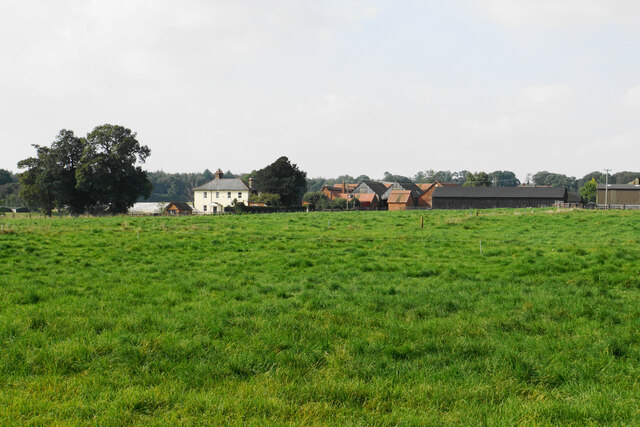
Farley Mount, located in Hampshire, England, is a prominent hill that offers breathtaking views of the surrounding countryside. It sits approximately 7 miles southwest of Winchester, in the civil parish of Sparsholt. Rising to an elevation of 233 meters (764 feet), it is often referred to as a "mountain" in local terms, although it is technically classified as a hill.
The summit of Farley Mount is crowned by a distinctive triangular folly known as the "Temple," built in 1735 by the third Lord Stawell. The Temple was designed to resemble a Greek temple, with its Doric columns and pediment, and it serves as a popular landmark that can be seen from miles around. Visitors can explore the Temple and enjoy panoramic views of the rolling Hampshire countryside from its elevated position.
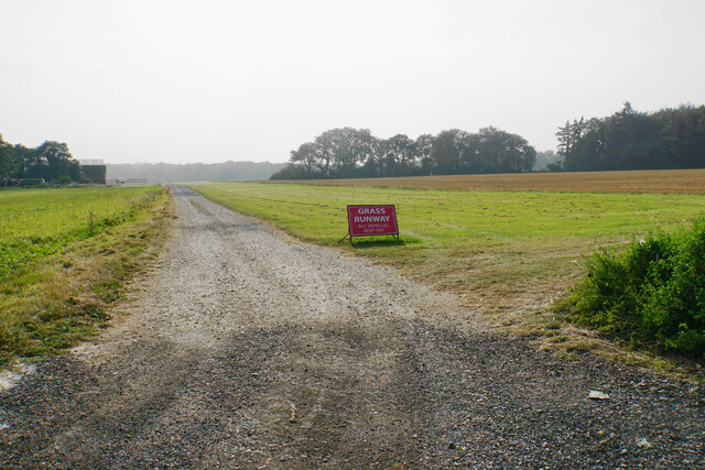
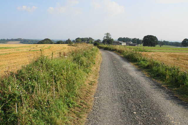
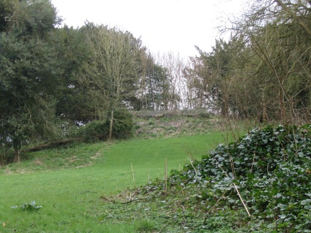
The hill is also home to a small woodland area, known as Farley Mount Country Park, which spans approximately 190 acres. The park boasts a network of well-maintained trails that wind through the mature woodland, offering visitors the opportunity to enjoy peaceful walks amidst nature. The woods are particularly beautiful during spring when they come alive with vibrant wildflowers.
Farley Mount is a popular destination for outdoor enthusiasts, hikers, and dog walkers. Its extensive network of trails caters to people of all ages and abilities, making it an accessible location for family outings or leisurely strolls. The hill's proximity to Winchester and its stunning views make it a favored spot for picnics and photography enthusiasts.
Overall, Farley Mount is a picturesque and historically significant destination, offering visitors a unique combination of natural beauty, architectural interest, and panoramic vistas.
If you have any feedback on the listing, please let us know in the comments section below.
Farley Mount Images
Images are sourced within 2km of 51.059246/-1.4262215 or Grid Reference SU4029. Thanks to Geograph Open Source API. All images are credited.


Farley Mount is located at Grid Ref: SU4029 (Lat: 51.059246, Lng: -1.4262215)
Administrative County: Hampshire
District: Winchester
Police Authority: Hampshire
Also known as: Mount Down
What 3 Words
///closet.grudging.declines. Near Compton, Hampshire
Nearby Locations
Related Wikis

Farley Mount
Farley Mount is one of the highest points in Hampshire at 174 metres ASL (571ft). It is in Farley Mount Country Park, about four miles west of the historic...

Sparsholt Roman Villa
Sparsholt Roman Villa was a Roman villa near the village of Sparsholt, Hampshire, England. It was constructed in phases from the 2nd to the 5th century...
Ashley Castle
The remains of Ashley Castle are in the small village of Ashley, Test Valley, in Hampshire (grid reference SU385308). The visible remains now consist of...
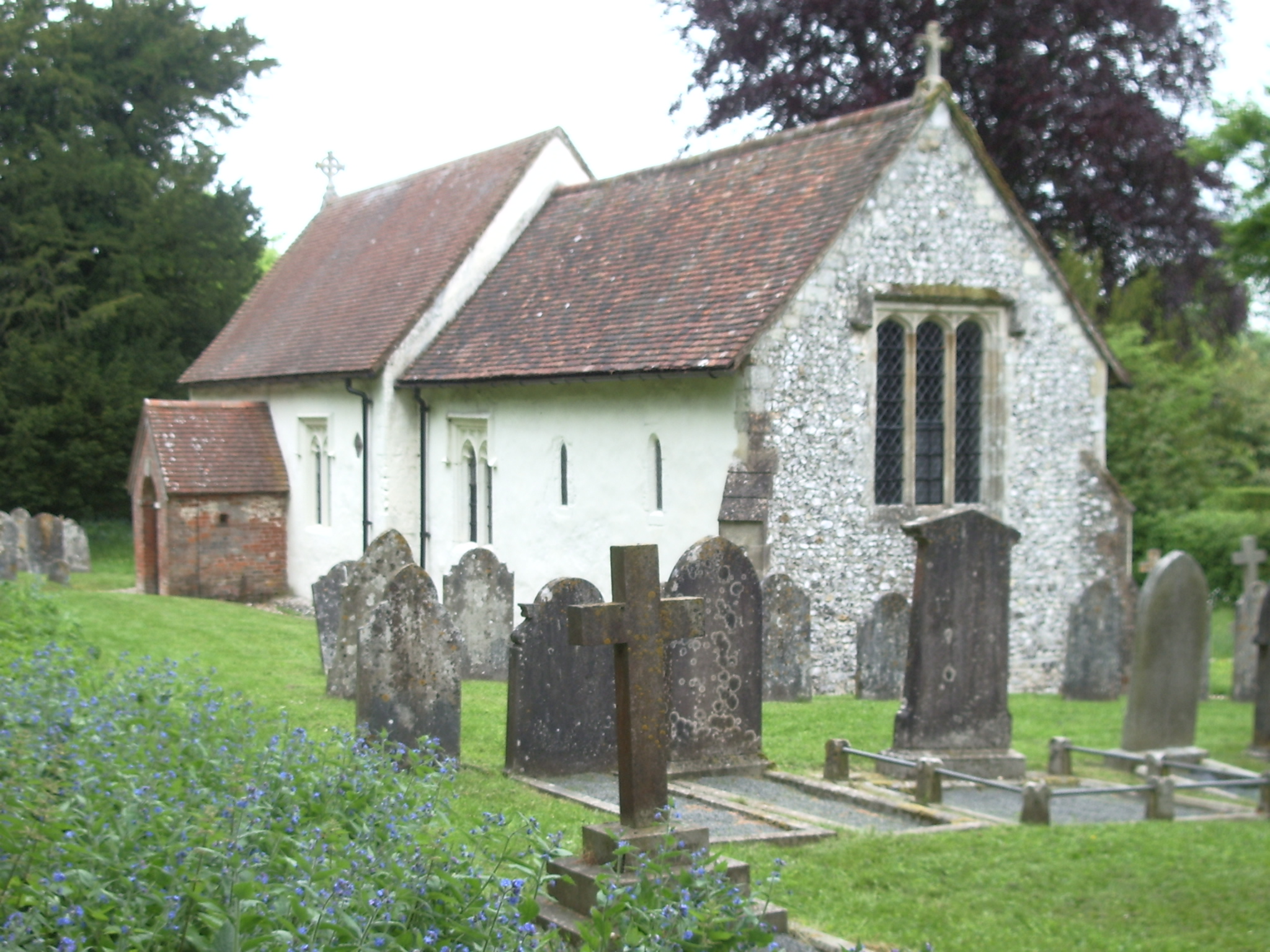
St. Mary's Church, Ashley
St. Mary's Church is a historic Anglican church in the hamlet of Ashley, Hampshire, England. It is recorded in the National Heritage List for England...
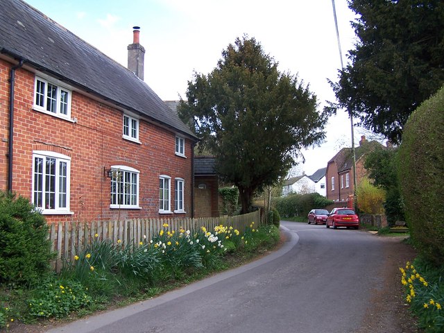
Ashley, Test Valley
Ashley is a village and civil parish in the Test Valley district of Hampshire, England, 8 miles (13 km) west of Winchester. Its nearest town is Stockbridge...

Crab Wood
Crab Wood is a 73-hectare (180-acre) biological Site of Special Scientific Interest west of Winchester in Hampshire. An area of 37.8 hectares (93 acres...
Up Somborne
Up Somborne is a hamlet in the civil parish of King's Somborne in the Test Valley district of Hampshire, England. Its nearest town is Stockbridge, which...
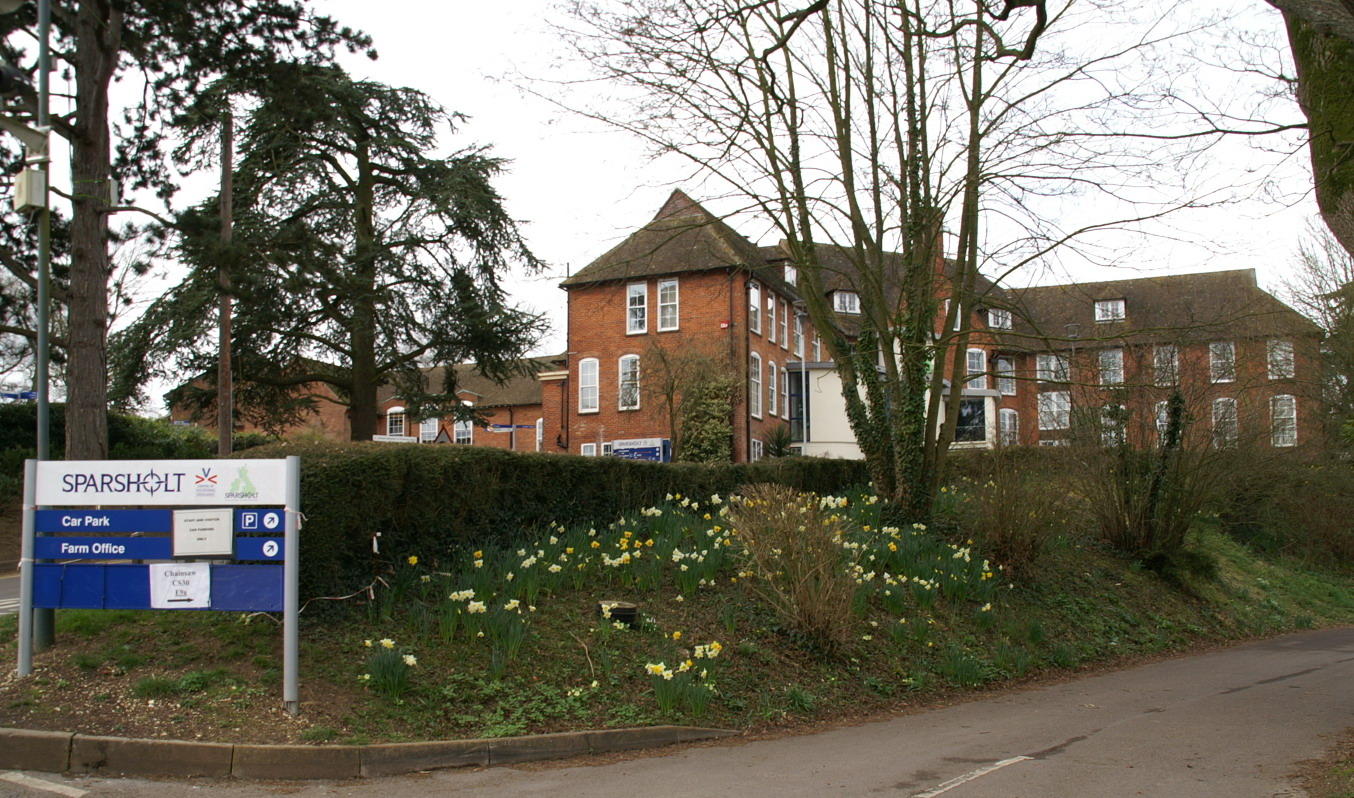
Sparsholt College
Sparsholt College is a Further Education (FE) and Higher Education (HE) college located at Sparsholt near Winchester, with a secondary campus in Andover...
Nearby Amenities
Located within 500m of 51.059246,-1.4262215Have you been to Farley Mount?
Leave your review of Farley Mount below (or comments, questions and feedback).