Beacon Hill
Hill, Mountain in Hampshire Winchester
England
Beacon Hill
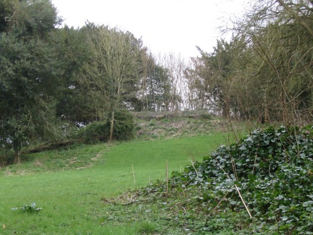
Beacon Hill, located in Hampshire, England, is a prominent hill that stands at an elevation of 242 meters (794 feet) above sea level. This natural landmark forms part of the South Downs National Park, offering stunning views of the surrounding countryside. Beacon Hill is situated near the village of Buriton, just south of the market town of Petersfield.
The hill is renowned for its historical significance, as it was once used as a signaling point during the Napoleonic Wars. A beacon was placed on top of the hill to warn of any potential invasion, hence the name "Beacon Hill." Today, visitors can still see the remains of the beacon platform, providing a glimpse into the area's past.
Beacon Hill is a popular destination for outdoor enthusiasts and nature lovers. It boasts several walking trails, including the South Downs Way, which passes through the hill. The hill's diverse flora and fauna make it an ideal spot for birdwatching and wildlife observation.
The summit of Beacon Hill is crowned with a trig point, offering panoramic views of the South Downs and the surrounding countryside. On a clear day, it is possible to see as far as the Isle of Wight in the south and the North Downs in the north.
With its rich history and stunning natural beauty, Beacon Hill is a must-visit destination for those seeking to explore the Hampshire countryside and immerse themselves in the region's heritage.
If you have any feedback on the listing, please let us know in the comments section below.
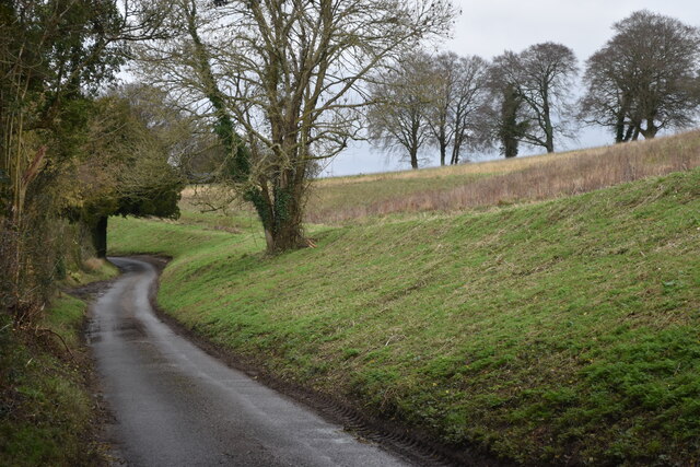
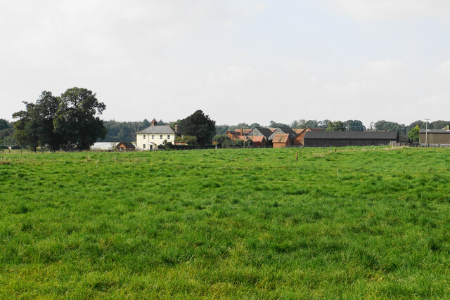
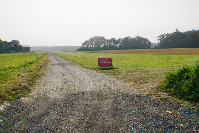
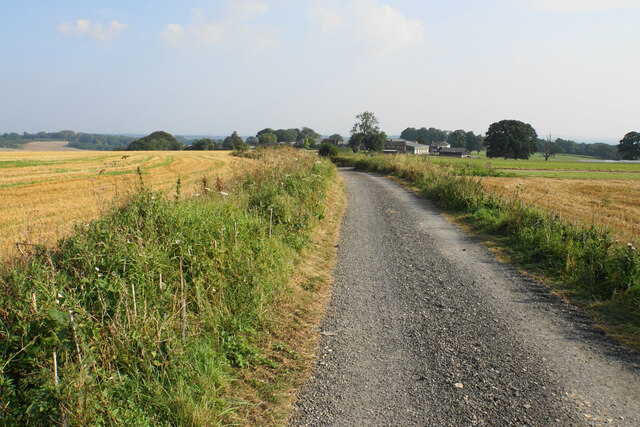
Beacon Hill Images
Images are sourced within 2km of 51.060327/-1.4303035 or Grid Reference SU4029. Thanks to Geograph Open Source API. All images are credited.


Beacon Hill is located at Grid Ref: SU4029 (Lat: 51.060327, Lng: -1.4303035)
Administrative County: Hampshire
District: Winchester
Police Authority: Hampshire
What 3 Words
///schooling.busy.shields. Near Compton, Hampshire
Nearby Locations
Related Wikis

Farley Mount
Farley Mount is one of the highest points in Hampshire at 174 metres ASL (571ft). It is in Farley Mount Country Park, about four miles west of the historic...

Sparsholt Roman Villa
Sparsholt Roman Villa was a Roman villa near the village of Sparsholt, Hampshire, England. It was constructed in phases from the 2nd to the 5th century...
Ashley Castle
The remains of Ashley Castle are in the small village of Ashley, Test Valley, in Hampshire (grid reference SU385308). The visible remains now consist of...
St. Mary's Church, Ashley
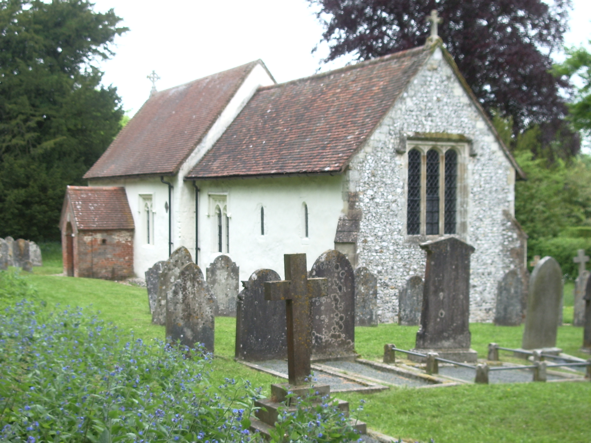
St. Mary's Church is a historic Anglican church in the hamlet of Ashley, Hampshire, England. It is recorded in the National Heritage List for England...
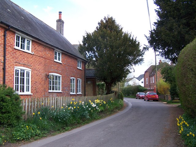
Ashley, Test Valley
Ashley is a village and civil parish in the Test Valley district of Hampshire, England, 8 miles (13 km) west of Winchester. Its nearest town is Stockbridge...
Up Somborne
Up Somborne is a hamlet in the civil parish of King's Somborne in the Test Valley district of Hampshire, England. Its nearest town is Stockbridge, which...

Crab Wood
Crab Wood is a 73-hectare (180-acre) biological Site of Special Scientific Interest west of Winchester in Hampshire. An area of 37.8 hectares (93 acres...
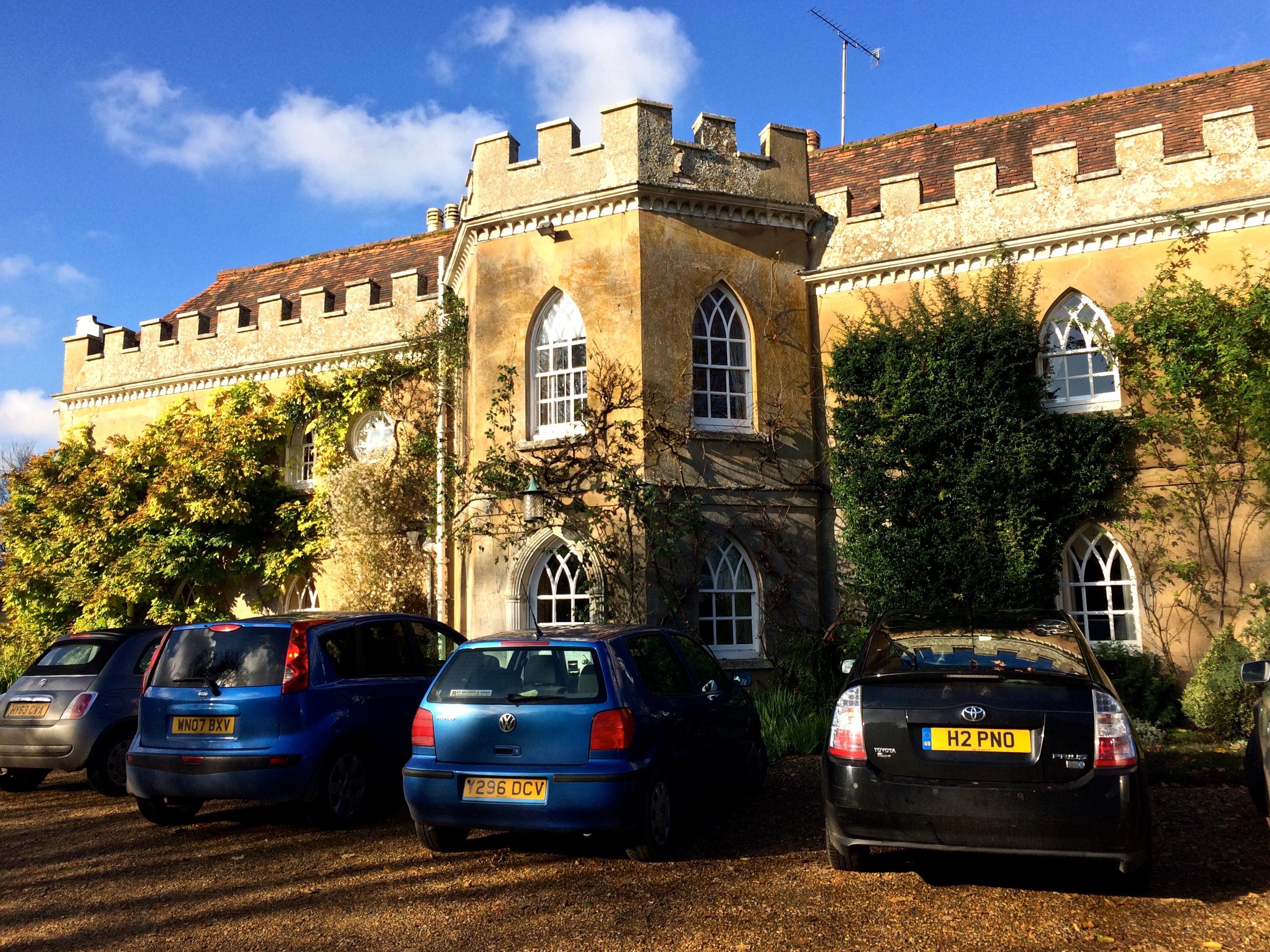
Rookley Manor, Hampshire
Rookley Manor is a Grade II* listed country house, located in Up Somborne in Hampshire, England. == Background == Located within the fertile Test Valley...
Nearby Amenities
Located within 500m of 51.060327,-1.4303035Have you been to Beacon Hill?
Leave your review of Beacon Hill below (or comments, questions and feedback).