Beaconhill Plantation
Wood, Forest in Hampshire Test Valley
England
Beaconhill Plantation
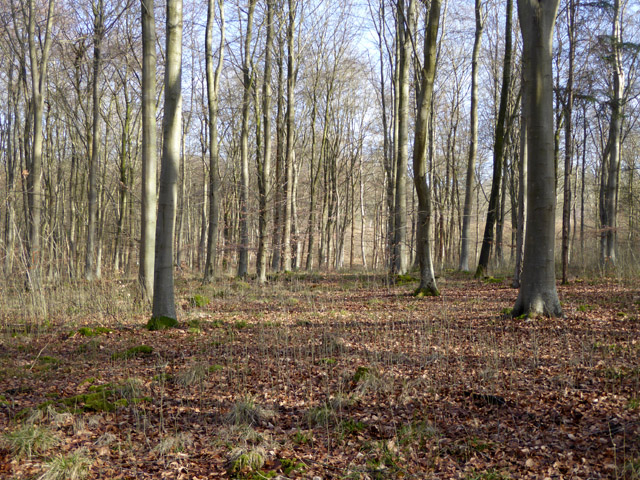
Beaconhill Plantation is a picturesque woodland located in Hampshire, England. Covering an area of approximately 500 acres, this enchanting forest is a haven for nature lovers and outdoor enthusiasts alike.
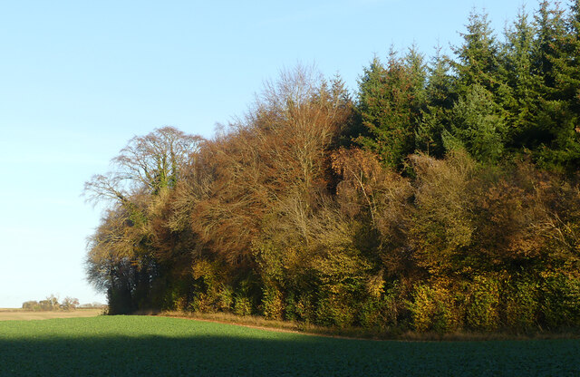
The plantation is characterized by its diverse range of tree species, including oak, beech, and pine, which create a stunning tapestry of colors throughout the year. The dense canopy provides a sheltered habitat for a wide array of wildlife, making it a popular destination for birdwatchers and nature photographers.
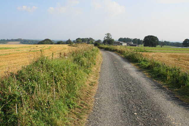
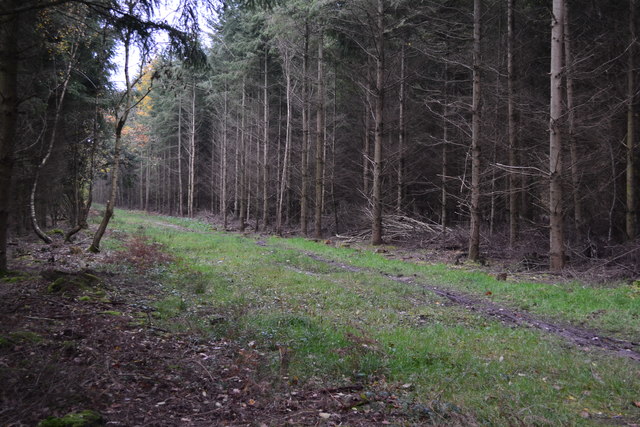
Traversing through Beaconhill Plantation, visitors can explore a network of well-maintained walking trails, allowing them to immerse themselves in the tranquility of nature. These trails offer a variety of difficulty levels, catering to both casual strollers and avid hikers. Along the way, visitors may come across charming picnic spots and benches, providing the perfect opportunity to rest and soak in the serene atmosphere.
For those seeking a more thrilling experience, Beaconhill Plantation also offers designated mountain biking trails. These trails are designed to challenge riders of all skill levels, with varying terrains and obstacles to conquer. The plantation has gained a reputation as a prime mountain biking destination, attracting enthusiasts from far and wide.
Managed by a dedicated team of conservationists, Beaconhill Plantation strives to protect and preserve its natural beauty. Regular maintenance and tree planting initiatives ensure the sustainability of the woodland, ensuring future generations can continue to enjoy its splendor.
Overall, Beaconhill Plantation is a true gem in Hampshire, offering a peaceful retreat and endless opportunities for outdoor activities. Whether it's a leisurely walk, a thrilling bike ride, or simply a chance to connect with nature, this woodland sanctuary has something to offer to everyone.
If you have any feedback on the listing, please let us know in the comments section below.
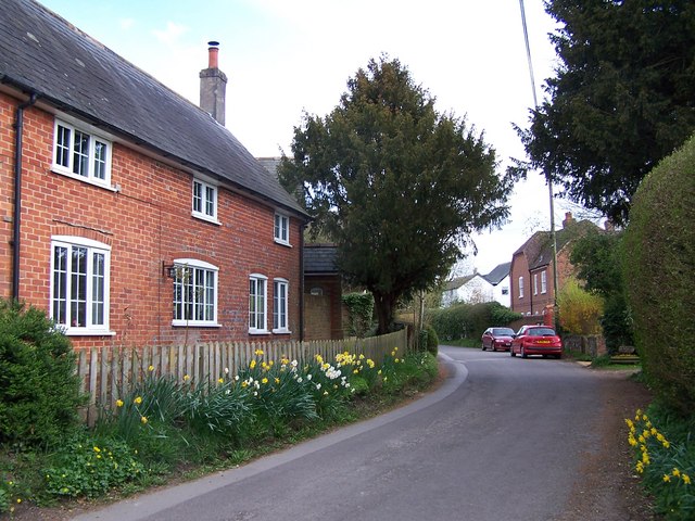
Beaconhill Plantation Images
Images are sourced within 2km of 51.061508/-1.4235108 or Grid Reference SU4029. Thanks to Geograph Open Source API. All images are credited.


Beaconhill Plantation is located at Grid Ref: SU4029 (Lat: 51.061508, Lng: -1.4235108)
Administrative County: Hampshire
District: Test Valley
Police Authority: Hampshire
What 3 Words
///prestige.roadshow.recording. Near Winchester, Hampshire
Nearby Locations
Related Wikis

Farley Mount
Farley Mount is one of the highest points in Hampshire at 174 metres ASL (571ft). It is in Farley Mount Country Park, about four miles west of the historic...

Sparsholt Roman Villa
Sparsholt Roman Villa was a Roman villa near the village of Sparsholt, Hampshire, England. It was constructed in phases from the 2nd to the 5th century...
Ashley Castle
The remains of Ashley Castle are in the small village of Ashley, Test Valley, in Hampshire (grid reference SU385308). The visible remains now consist of...
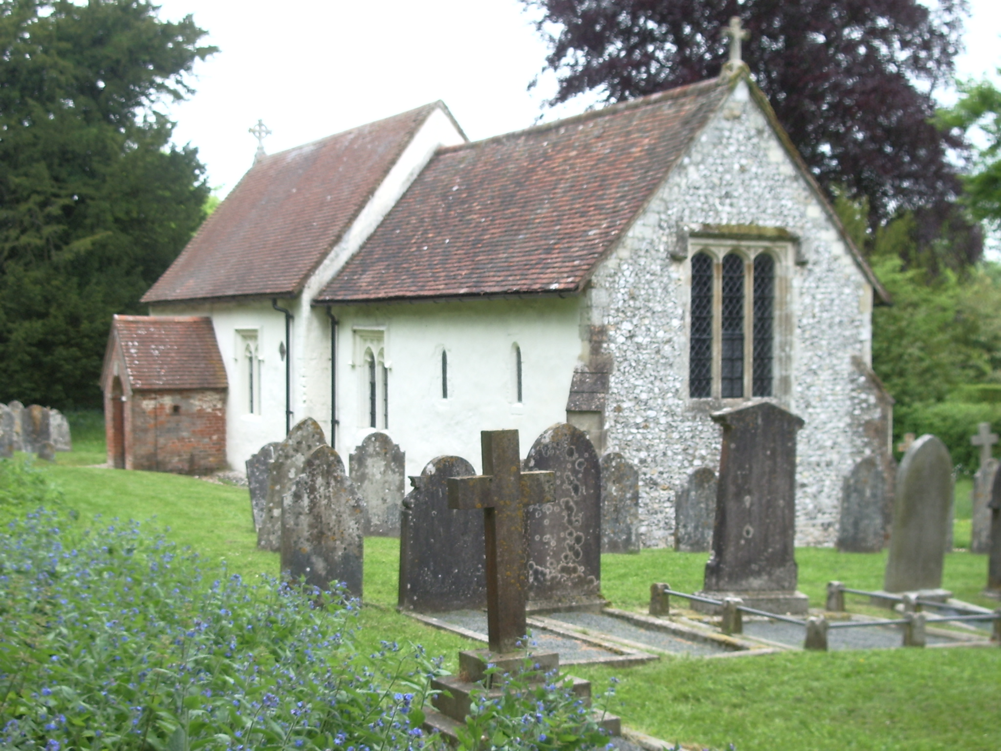
St. Mary's Church, Ashley
St. Mary's Church is a historic Anglican church in the hamlet of Ashley, Hampshire, England. It is recorded in the National Heritage List for England...
Ashley, Test Valley
Ashley is a village and civil parish in the Test Valley district of Hampshire, England, 8 miles (13 km) west of Winchester. Its nearest town is Stockbridge...

Crab Wood
Crab Wood is a 73-hectare (180-acre) biological Site of Special Scientific Interest west of Winchester in Hampshire. An area of 37.8 hectares (93 acres...
Up Somborne
Up Somborne is a hamlet in the civil parish of King's Somborne in the Test Valley district of Hampshire, England. Its nearest town is Stockbridge, which...
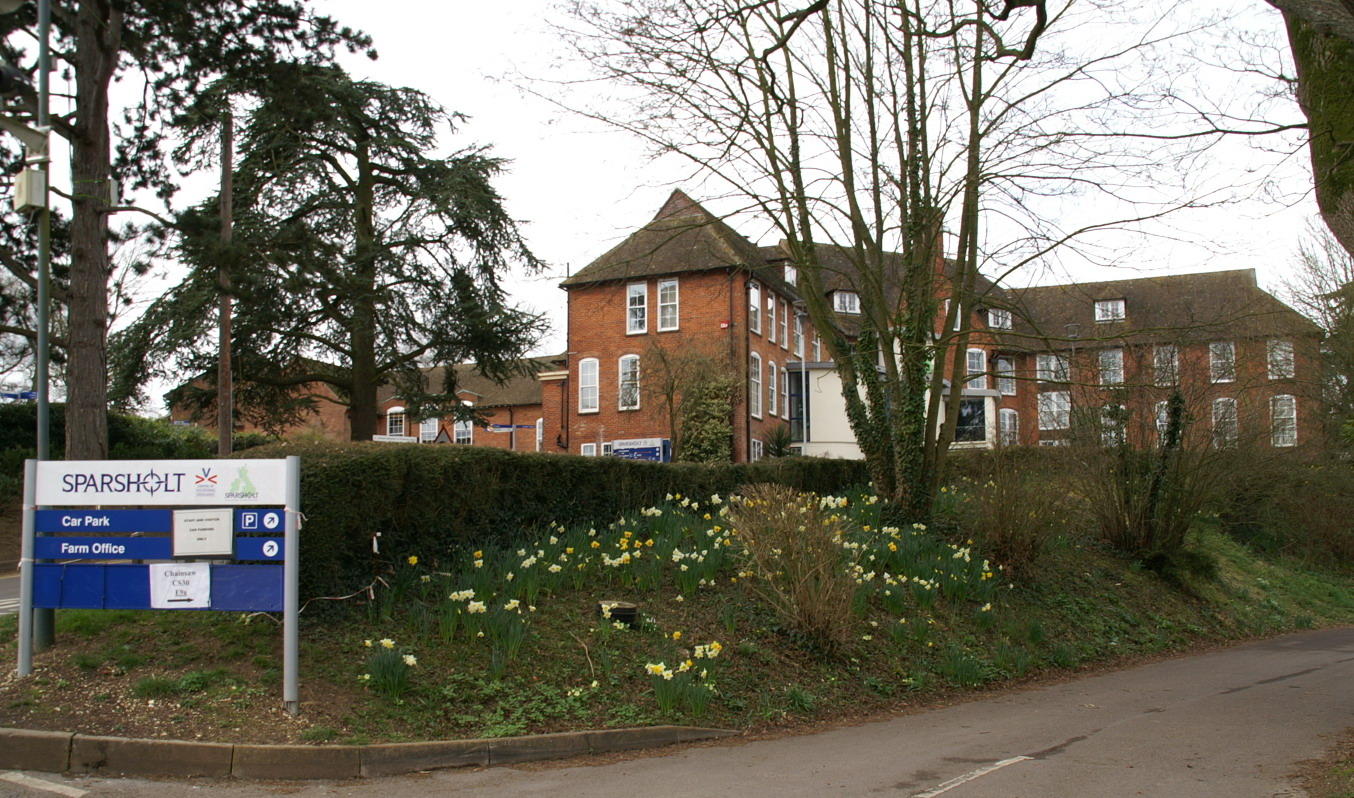
Sparsholt College
Sparsholt College is a Further Education (FE) and Higher Education (HE) college located at Sparsholt near Winchester, with a secondary campus in Andover...
Nearby Amenities
Located within 500m of 51.061508,-1.4235108Have you been to Beaconhill Plantation?
Leave your review of Beaconhill Plantation below (or comments, questions and feedback).