Beacon Hill

Hill, Mountain in Northumberland

England

Beacon Hill

Whitfield C of E Primary School
Whitfield C of E Primary School Credit: Alex McGregor

Beacon Hill is a prominent hill located in Northumberland, England. It is part of the beautiful Northumberland National Park and stands at an elevation of approximately 345 meters (1,132 feet) above sea level. The hill is situated near the village of Longhoughton, about 7 kilometers (4 miles) north of the market town of Alnwick.

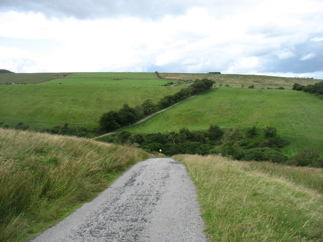
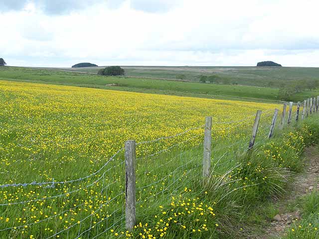
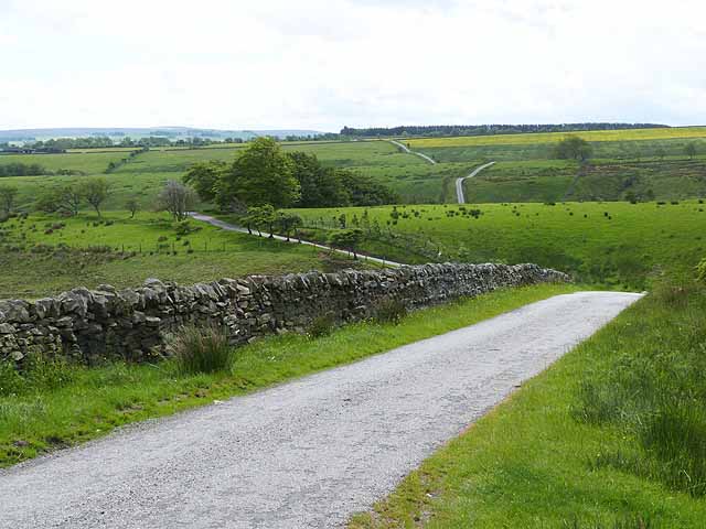
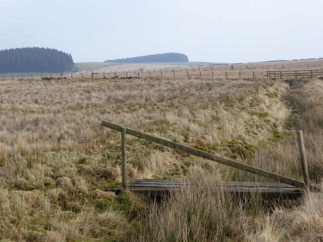
The summit of Beacon Hill offers breathtaking views of the surrounding countryside, with vistas extending as far as the North Sea coastline and the Cheviot Hills. This makes it a popular spot for hiking and walking enthusiasts, who can enjoy the tranquil and picturesque landscapes.

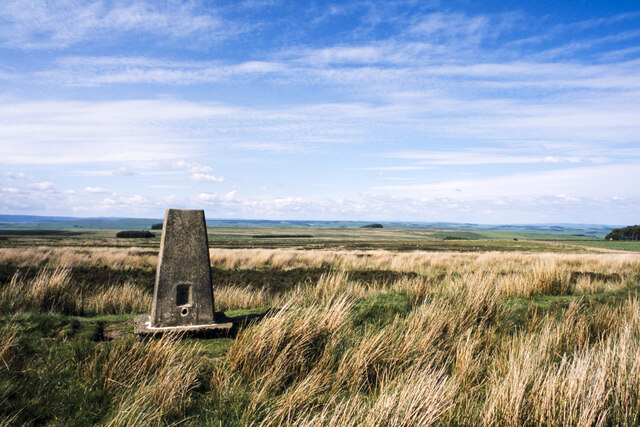
The hill is known for its distinctive beacon, which was historically used as a signaling post to warn of impending danger or to celebrate significant events. The beacon has been refurbished in recent years and adds to the historical charm of the area.

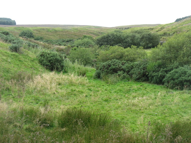
Beacon Hill is also home to a variety of flora and fauna, including heather, gorse, and various bird species. The hill is part of a designated Site of Special Scientific Interest, recognizing its importance in terms of conservation and biodiversity.

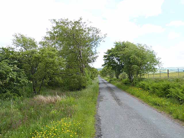
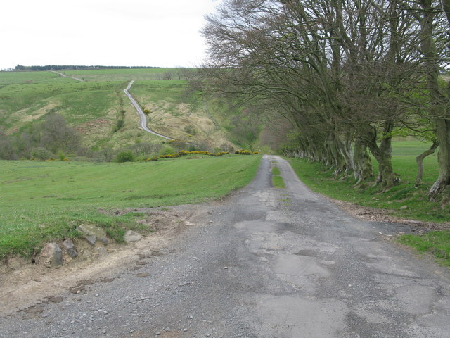
Access to Beacon Hill is relatively easy, with a well-maintained footpath leading to the summit. The area is also equipped with parking facilities and picnic areas, allowing visitors to enjoy a day out in nature. Whether it's a leisurely walk, a family outing, or an opportunity to immerse oneself in the natural beauty of Northumberland, Beacon Hill offers a captivating experience for all.

If you have any feedback on the listing, please let us know in the comments section below.
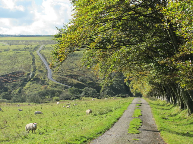
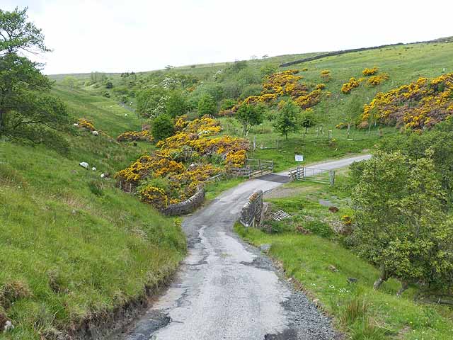
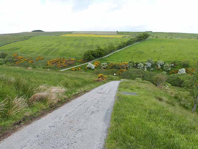
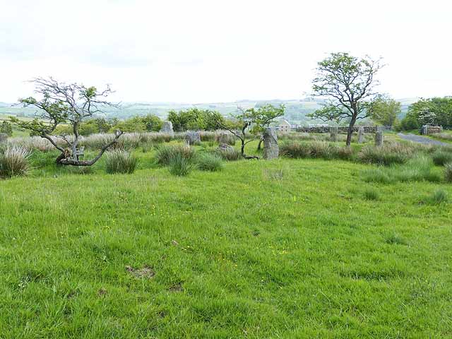
Beacon Hill Images

Images are sourced within 2km of 54.929127/-2.3688347 or Grid Reference NY7659. Thanks to Geograph Open Source API. All images are credited.

Whitfield C of E Primary School
Road above Row Side A minor road cul de sac which serves a few farms.  It continues as a public byway down into the floor of West Allendale.
Road above Row Side
A minor road cul de sac which serves a few farms. It continues as a public byway down into the floor of West Allendale.
Fell House Farm
Fell House Farm
Church Burn, Whitfield Well, this normally modest stream is somewhere hidden by the bushes below.
Church Burn, Whitfield
Well, this normally modest stream is somewhere hidden by the bushes below.
Whitfield church This church was superseded by a much grander church in NY7756 - see <a href="https://www.geograph.org.uk/photo/4696750">NY7756 : Holy Trinity church, Whitfield</a>.
Whitfield church
This church was superseded by a much grander church in NY7756 - see NY7756 : Holy Trinity church, Whitfield.
Sun setting over Whitfield
Sun setting over Whitfield (2)
Moorland of Beacon Hill with trig point Beacon Hill is part of Fellhouse Fell, close to Whitfield in West Allendale.
Moorland of Beacon Hill with trig point
Beacon Hill is part of Fellhouse Fell, close to Whitfield in West Allendale.
The lane to Beltingham As others have pointed out, this is a real 'switchback' road. Ahead is the dip for the Kingswood Burn.
The lane to Beltingham
As others have pointed out, this is a real 'switchback' road. Ahead is the dip for the Kingswood Burn.
Start of the steep descent to the Kingswood Burn Steep descent and an even steeper ascent on the other side of the burn. The road is much steeper than is apparent in the photograph, 1 in 4 in places.
Start of the steep descent to the Kingswood Burn
Steep descent and an even steeper ascent on the other side of the burn. The road is much steeper than is apparent in the photograph, 1 in 4 in places.
Bridge over the Kingswood Burn At the foot of very steep descents on both sides of the burn.
Bridge over the Kingswood Burn
At the foot of very steep descents on both sides of the burn.
The cleugh of Kingswood Burn (6)
The Cleugh of Kingswood Burn A little-used road descends by a 1 in 4 hill to the floor of this valley before climbing almost as precipitously on the far side.
The Cleugh of Kingswood Burn
A little-used road descends by a 1 in 4 hill to the floor of this valley before climbing almost as precipitously on the far side.
Looking across the Cleugh of Kingswood Burn A little-used road descends by a 1 in 4 hill to the floor of this valley before climbing almost as precipitously on the other side.
Looking across the Cleugh of Kingswood Burn
A little-used road descends by a 1 in 4 hill to the floor of this valley before climbing almost as precipitously on the other side.
Stone circle at East Steel A stone circle (probably modern as there is no indication of antiquity on the Ordnance Survey map) stands beside the driveway to East Steel.
Stone circle at East Steel
A stone circle (probably modern as there is no indication of antiquity on the Ordnance Survey map) stands beside the driveway to East Steel.
Field of buttercups near Huntershield Farm Buttercups seem to be particularly rampant this year.
Field of buttercups near Huntershield Farm
Buttercups seem to be particularly rampant this year.
Switchback road In the middle distance, the road descends precipitously to cross the Kingswood Burn before climbing by a 1 in 4 hill to regain the plateau. The far field  to the right can also be seen at <a href="https://www.geograph.org.uk/photo/3516949">NY7760 : Field of buttercups near Huntershield Farm</a>.
Switchback road
In the middle distance, the road descends precipitously to cross the Kingswood Burn before climbing by a 1 in 4 hill to regain the plateau. The far field to the right can also be seen at NY7760 : Field of buttercups near Huntershield Farm.
Footbridge and ditch below Rock House Fell
Show me another place!

Beacon Hill is located at Grid Ref: NY7659 (Lat: 54.929127, Lng: -2.3688347)

Unitary Authority: Northumberland

Police Authority: Northumbria

Also known as: Fell House Fell

What 3 Words

///using.tabs.skim. Near Bardon Mill, Northumberland

Related Wikis

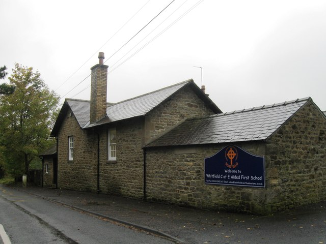
Whitfield, Northumberland

Whitfield is a village and former civil parish, now in the parish of Plenmeller with Whitfield, in the county of Northumberland, England about 10 miles...

Bearsbridge

Bearsbridge is a village in Northumberland, in England. It is situated to the west of Hexham, on the A686. == Governance == Bearsbridge is in the parliamentary...

Allen Confluence Gravels

The Allen Confluence Gravels is the name given to a Site of Special Scientific Interest (SSSI) in Northumberland, England. The site, listed since 1968...
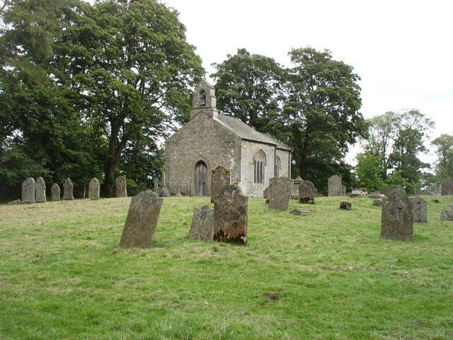
Briarwood Banks

Briarwood Banks is the name given to a woodland Site of Special Scientific Interest (SSSI) in north Northumberland, North East England. Composed mainly...

Nearby Amenities

Located within 500m of 54.929127,-2.3688347
Beacon Hill
Place: locality
Lat/Long: 54.9289826/-2.3686963
The data included in this document is from www.openstreetmap.org. The data is made available under ODbL.

Have you been to Beacon Hill?

Leave your review of Beacon Hill below (or comments, questions and feedback).