Beacon Plantation

Wood, Forest in Northumberland

England

Beacon Plantation

Whitfield C of E Primary School
Whitfield C of E Primary School Credit: Alex McGregor

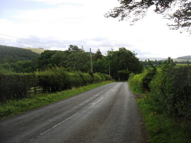
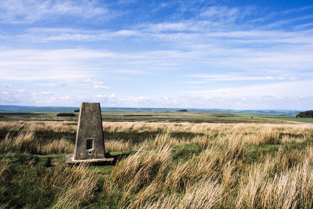
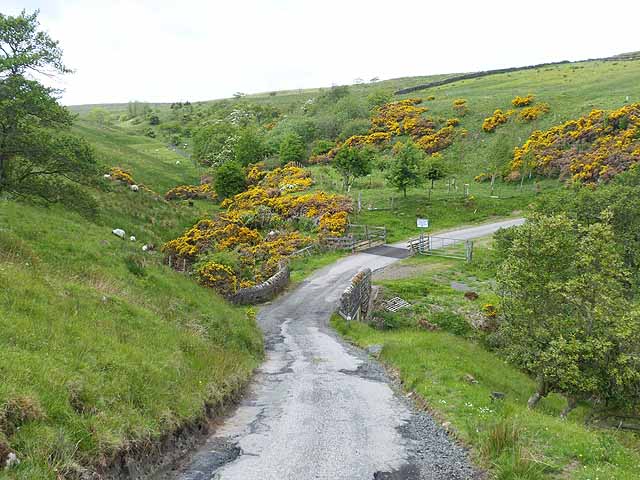
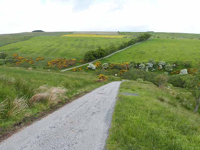
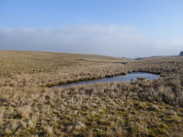
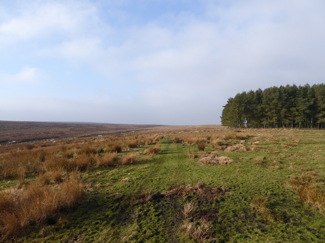
Beacon Plantation is a picturesque woodland located in Northumberland, England. Situated in the heart of the county, this enchanting forest covers an area of approximately 200 acres, making it a popular destination for nature enthusiasts and hikers alike.

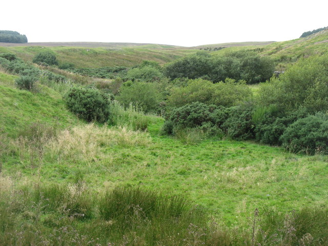
The plantation is primarily composed of native trees, including oak, birch, and beech, which create a diverse and vibrant ecosystem. The dense canopy provides a haven for numerous wildlife species, such as deer, foxes, and a variety of bird species, making it a perfect spot for wildlife enthusiasts and birdwatchers.

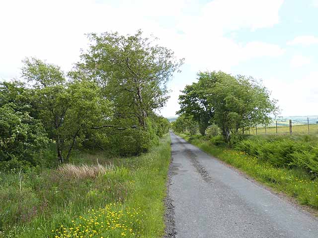
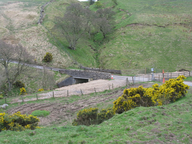
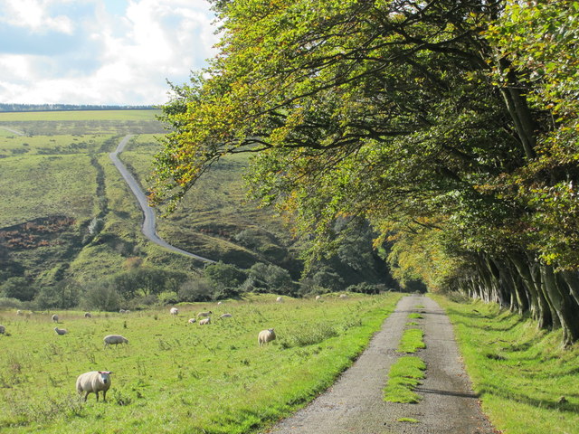
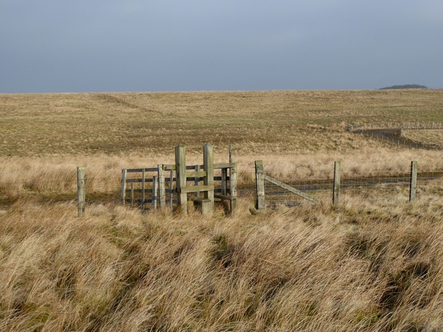
Traversing through Beacon Plantation, visitors will encounter a network of well-maintained walking trails that wind through the forest, offering stunning views of the surrounding countryside. The trails are suitable for all skill levels and provide an opportunity to explore the woodland's hidden gems, such as a charming stream and a small secluded lake.

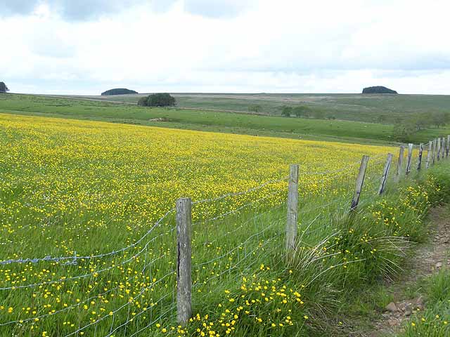
The plantation is also home to a range of interesting plant species, including bluebells, wild garlic, and ferns, which create a vibrant and ever-changing landscape throughout the seasons. In spring, the forest floor becomes a carpet of blue as the bluebells bloom, creating a breathtaking sight.

Beacon Plantation is managed by the local authorities, ensuring its preservation and conservation for future generations to enjoy. The plantation offers a tranquil and serene escape from the hustle and bustle of modern life, allowing visitors to reconnect with nature and immerse themselves in the beauty of Northumberland's woodlands.

If you have any feedback on the listing, please let us know in the comments section below.

Beacon Plantation Images

Images are sourced within 2km of 54.926395/-2.3688565 or Grid Reference NY7659. Thanks to Geograph Open Source API. All images are credited.

Whitfield C of E Primary School
Road above Row Side A minor road cul de sac which serves a few farms.  It continues as a public byway down into the floor of West Allendale.
Road above Row Side
A minor road cul de sac which serves a few farms. It continues as a public byway down into the floor of West Allendale.
Fell House Farm
Fell House Farm
Church Burn, Whitfield Well, this normally modest stream is somewhere hidden by the bushes below.
Church Burn, Whitfield
Well, this normally modest stream is somewhere hidden by the bushes below.
Whitfield church This church was superseded by a much grander church in NY7756 - see <a href="https://www.geograph.org.uk/photo/4696750">NY7756 : Holy Trinity church, Whitfield</a>.
Whitfield church
This church was superseded by a much grander church in NY7756 - see NY7756 : Holy Trinity church, Whitfield.
The lane to Whitfield church
Sun setting over Whitfield
Sun setting over Whitfield (2)
Moorland of Beacon Hill with trig point Beacon Hill is part of Fellhouse Fell, close to Whitfield in West Allendale.
Moorland of Beacon Hill with trig point
Beacon Hill is part of Fellhouse Fell, close to Whitfield in West Allendale.
Bridge over the Kingswood Burn At the foot of very steep descents on both sides of the burn.
Bridge over the Kingswood Burn
At the foot of very steep descents on both sides of the burn.
The cleugh of Kingswood Burn (6)
The Cleugh of Kingswood Burn A little-used road descends by a 1 in 4 hill to the floor of this valley before climbing almost as precipitously on the far side.
The Cleugh of Kingswood Burn
A little-used road descends by a 1 in 4 hill to the floor of this valley before climbing almost as precipitously on the far side.
Looking across the Cleugh of Kingswood Burn A little-used road descends by a 1 in 4 hill to the floor of this valley before climbing almost as precipitously on the other side.
Looking across the Cleugh of Kingswood Burn
A little-used road descends by a 1 in 4 hill to the floor of this valley before climbing almost as precipitously on the other side.
Field of buttercups near Huntershield Farm Buttercups seem to be particularly rampant this year.
Field of buttercups near Huntershield Farm
Buttercups seem to be particularly rampant this year.
Stile on Kingswood Common Although on a public footpath, it is a struggle through boggy ground to reach this stile which is partly collapsed.
Stile on Kingswood Common
Although on a public footpath, it is a struggle through boggy ground to reach this stile which is partly collapsed.
Pond on Kingswood Common
Stile on Kingswood Common
Kingswood Common The faintest of tracks marks the line of the public footpath past a small plantation on the way to Kingswood Common.
Kingswood Common
The faintest of tracks marks the line of the public footpath past a small plantation on the way to Kingswood Common.
Show me another place!

Beacon Plantation is located at Grid Ref: NY7659 (Lat: 54.926395, Lng: -2.3688565)

Unitary Authority: Northumberland

Police Authority: Northumbria

What 3 Words

///reflect.paramedic.robes. Near Bardon Mill, Northumberland

Related Wikis

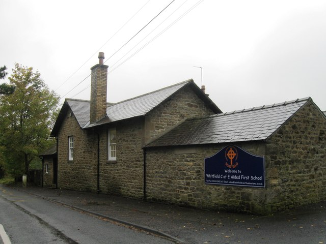
Whitfield, Northumberland

Whitfield is a village and former civil parish, now in the parish of Plenmeller with Whitfield, in the county of Northumberland, England about 10 miles...

Bearsbridge

Bearsbridge is a village in Northumberland, in England. It is situated to the west of Hexham, on the A686. == Governance == Bearsbridge is in the parliamentary...

Allen Confluence Gravels

The Allen Confluence Gravels is the name given to a Site of Special Scientific Interest (SSSI) in Northumberland, England. The site, listed since 1968...
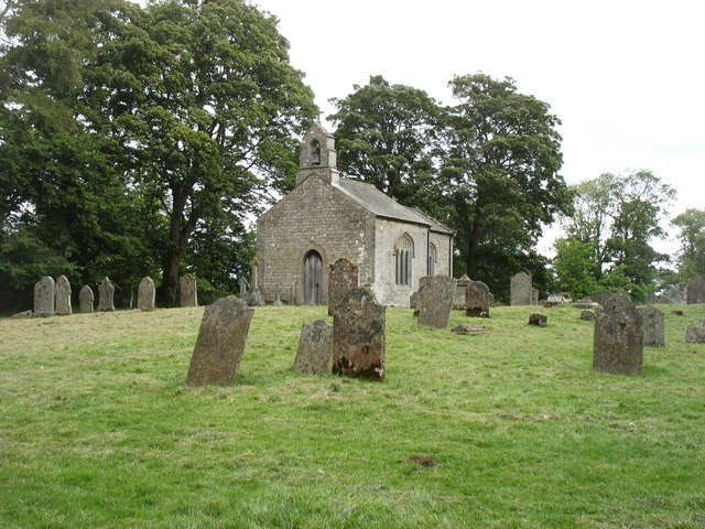
Staward Peel

Staward Peel, or Staward Pele, is a peel tower located in the National Trust property of Allen Banks & Staward Gorge in Northumberland, England. ��2�...

Nearby Amenities

Located within 500m of 54.926395,-2.3688565
Beacon Hill
Place: locality
Lat/Long: 54.9289826/-2.3686963
The data included in this document is from www.openstreetmap.org. The data is made available under ODbL.

Have you been to Beacon Plantation?

Leave your review of Beacon Plantation below (or comments, questions and feedback).