Limpenhoe Hill
Hill, Mountain in Norfolk Broadland
England
Limpenhoe Hill

Limpenhoe Hill is a small hill located in the county of Norfolk, in eastern England. Situated near the village of Limpenhoe, it is part of the broader Norfolk Broads National Park, a unique wetland area renowned for its natural beauty and diverse wildlife.
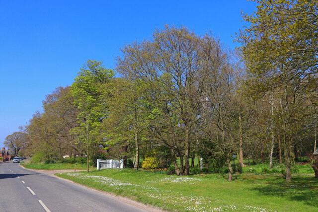
Despite its name, Limpenhoe Hill is not a true hill in the traditional sense, but rather a low-lying rise in the surrounding landscape. Its elevation is relatively modest, standing at around 20 meters above sea level. The hill is characterized by gentle slopes and is covered with grass and scattered trees, offering panoramic views of the surrounding countryside.
Limpenhoe Hill is a popular destination for nature enthusiasts and hikers due to its picturesque setting and the abundance of flora and fauna found in the area. The hill provides a habitat for various bird species, including marsh harriers, bitterns, and reed warblers. Additionally, the nearby marshes and reed beds are home to a diverse range of wetland plants and animals.
The hill is easily accessible by foot or bicycle, with several well-marked trails leading to its summit. Visitors can enjoy a leisurely stroll along the paths, taking in the peaceful atmosphere and enjoying the sights and sounds of nature. The surrounding area also offers opportunities for boating and fishing, as the hill is located near the Norfolk Broads, a network of rivers and lakes.
In conclusion, Limpenhoe Hill in Norfolk is a modest rise in the landscape, offering scenic views and a haven for wildlife within the Norfolk Broads National Park.
If you have any feedback on the listing, please let us know in the comments section below.
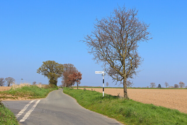
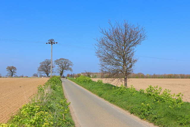
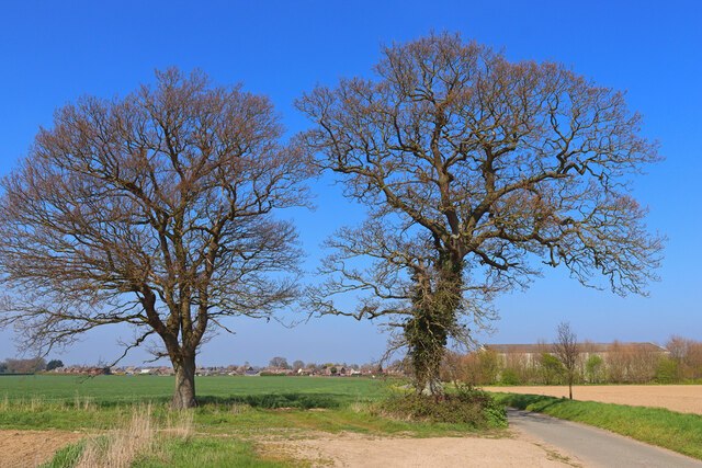
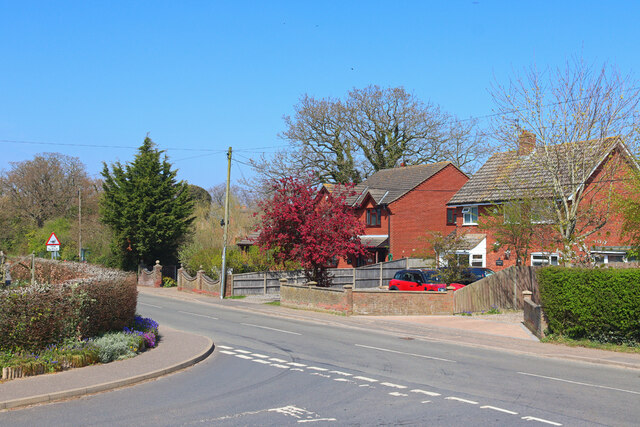
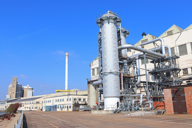
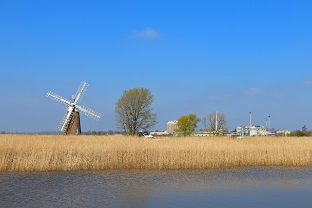
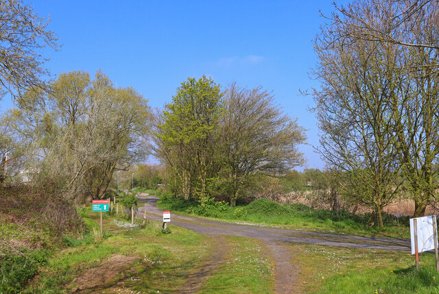
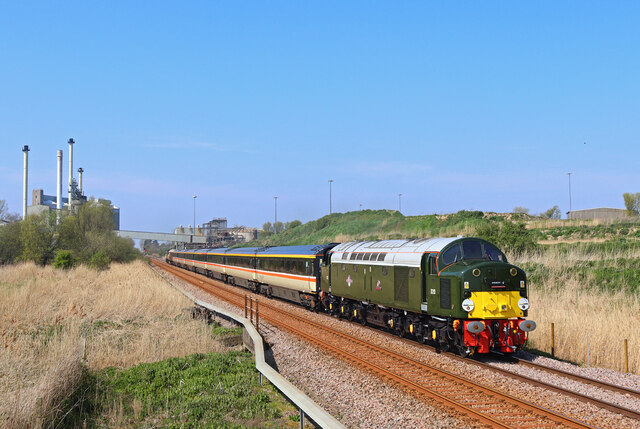
Limpenhoe Hill Images
Images are sourced within 2km of 52.574575/1.548303 or Grid Reference TG4003. Thanks to Geograph Open Source API. All images are credited.


Limpenhoe Hill is located at Grid Ref: TG4003 (Lat: 52.574575, Lng: 1.548303)
Administrative County: Norfolk
District: Broadland
Police Authority: Norfolk
What 3 Words
///storms.rents.outnumber. Near Reedham, Norfolk
Nearby Locations
Related Wikis

Limpenhoe Meadows
Limpenhoe Meadows is a 12-hectare (30-acre) biological Site of Special Scientific Interest west of Reedham in Norfolk. It is part of the Broadland Ramsar...

Limpenhoe
Limpenhoe is a village and former civil parish, now in the Cantley, Limpenhoe and Southwood, in the Broadland district, in the county of Norfolk, England...

Reedham railway station (Norfolk)
Reedham railway station is on the Wherry Lines in the East of England, serving the village of Reedham, Norfolk. It is 12 miles 13 chains (19.6 km) down...
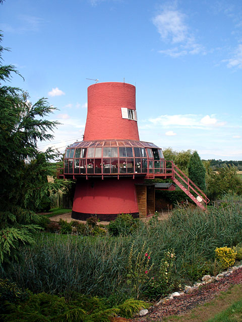
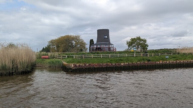
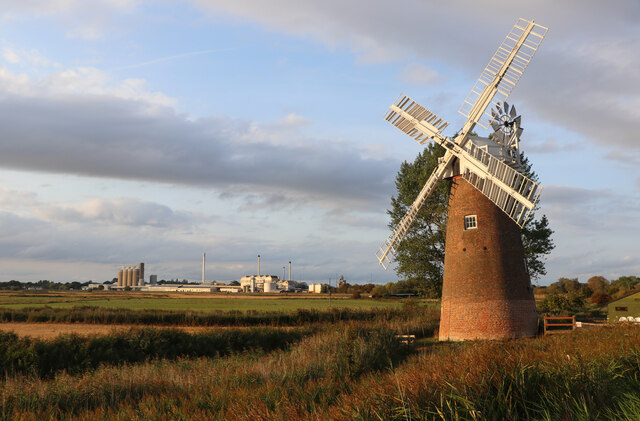
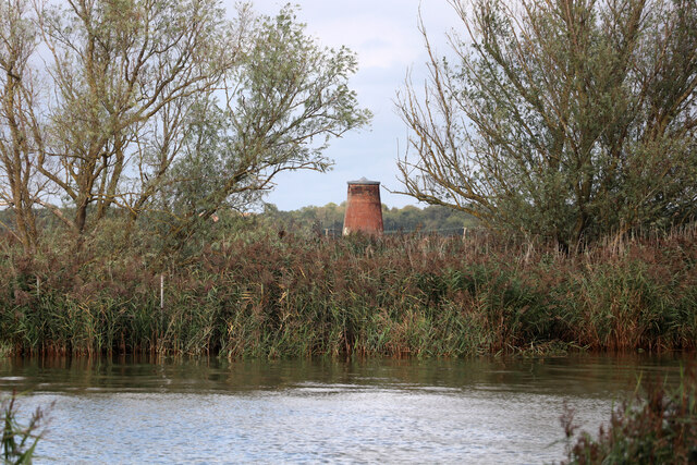
Reedham Ferry Drainage Mill
The Reedham Ferry Drainage Mill, also known as The Red Mill is a former drainage windmill found on the River Yare on The Broads in Norfolk. It is now a...
Nearby Amenities
Located within 500m of 52.574575,1.548303Have you been to Limpenhoe Hill?
Leave your review of Limpenhoe Hill below (or comments, questions and feedback).