Limpenhoe Hill
Settlement in Norfolk Broadland
England
Limpenhoe Hill

Limpenhoe Hill is a small village located in the county of Norfolk, England. Situated in the Broadland district, it is nestled on the eastern banks of the River Yare, approximately 12 miles southeast of the city of Norwich. The village is part of the civil parish of Limpenhoe and Southwood.
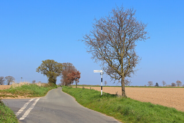
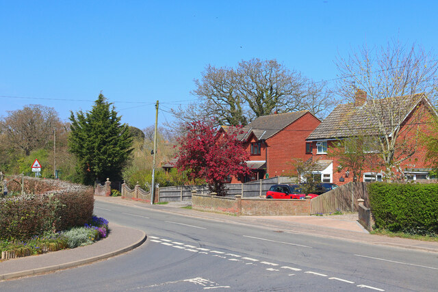
Limpenhoe Hill is a rural community characterized by its picturesque countryside and peaceful atmosphere. The village is known for its charming traditional cottages, many of which date back several centuries. The architecture reflects the local Norfolk style, with red brick and thatched roofs prevalent throughout the area.
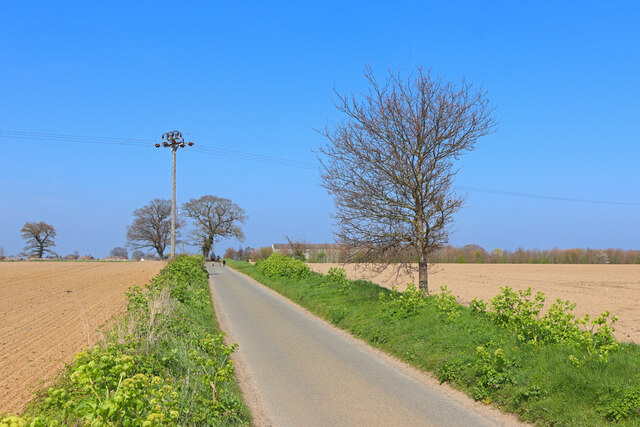
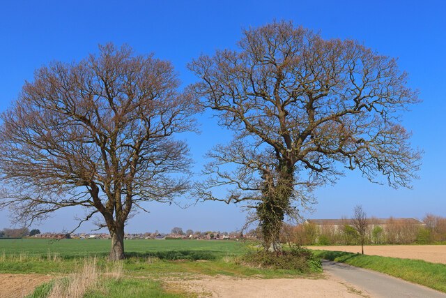
The village is surrounded by fertile farmland, with agriculture playing a significant role in the local economy. The fertile soil and favorable climate make it ideal for growing crops such as barley, wheat, and potatoes. The farming community is an integral part of Limpenhoe Hill's identity, and many residents are involved in agricultural activities.
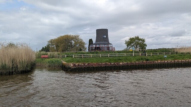
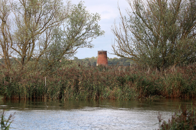
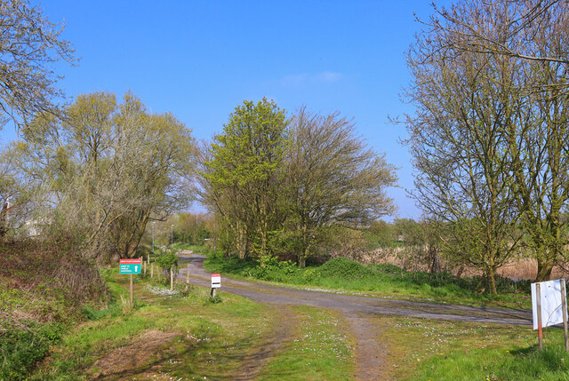
For outdoor enthusiasts, the village offers several opportunities to explore the beautiful Norfolk Broads. The nearby river provides a perfect setting for boating, fishing, and wildlife spotting. The peacefulness of the area makes it a popular destination for those seeking tranquility and a connection with nature.
While Limpenhoe Hill is a small village with limited amenities, it benefits from its proximity to nearby towns and cities. Residents have easy access to the services and facilities available in neighboring areas, including schools, shops, and healthcare facilities.
Overall, Limpenhoe Hill is a charming village that offers residents and visitors a tranquil escape from the hustle and bustle of city life, with its idyllic countryside, rich history, and close-knit community.
If you have any feedback on the listing, please let us know in the comments section below.
Limpenhoe Hill Images
Images are sourced within 2km of 52.573807/1.542162 or Grid Reference TG4003. Thanks to Geograph Open Source API. All images are credited.


Limpenhoe Hill is located at Grid Ref: TG4003 (Lat: 52.573807, Lng: 1.542162)
Administrative County: Norfolk
District: Broadland
Police Authority: Norfolk
What 3 Words
///coping.toolbar.embedded. Near Reedham, Norfolk
Nearby Locations
Related Wikis

Limpenhoe Meadows
Limpenhoe Meadows is a 12-hectare (30-acre) biological Site of Special Scientific Interest west of Reedham in Norfolk. It is part of the Broadland Ramsar...

Limpenhoe
Limpenhoe is a village and former civil parish, now in the Cantley, Limpenhoe and Southwood, in the Broadland district, in the county of Norfolk, England...

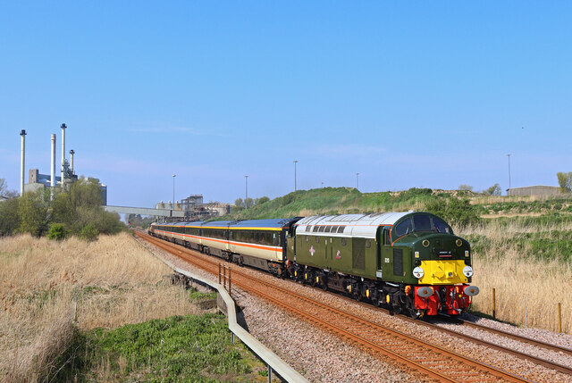
Reedham railway station (Norfolk)
Reedham railway station is on the Wherry Lines in the East of England, serving the village of Reedham, Norfolk. It is 12 miles 13 chains (19.6 km) down...
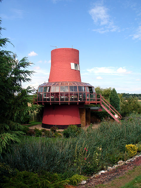
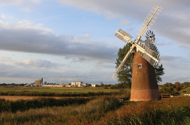
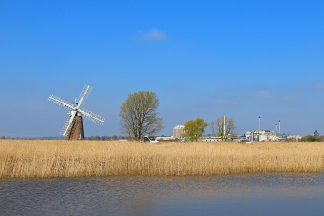
Reedham Ferry Drainage Mill
The Reedham Ferry Drainage Mill, also known as The Red Mill is a former drainage windmill found on the River Yare on The Broads in Norfolk. It is now a...
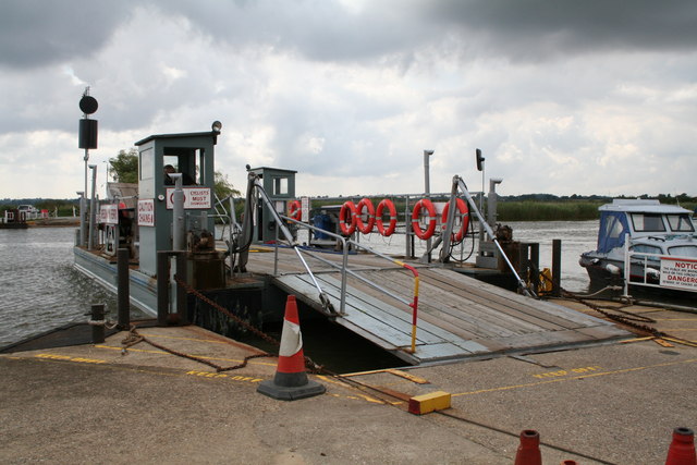
Reedham Ferry
Reedham Ferry is a vehicular chain ferry across the River Yare in the English county of Norfolk, in the Broads. The ferry crosses the river near the village...

Cantley railway station
Cantley railway station is on the Wherry Lines in the East of England, serving the village of Cantley, Norfolk. It is 10 miles (16 km) down the line from...

Cantley, Norfolk
Cantley is a village and former civil parish, now in the parish of Cantley, Limpenhoe and Southwood, in the Broadland district, in the English county of...

River Chet
The River Chet is a small river in South Norfolk, England, a tributary of the River Yare. It rises in Poringland and flows eastwards through Alpington...
Nearby Amenities
Located within 500m of 52.573807,1.542162Have you been to Limpenhoe Hill?
Leave your review of Limpenhoe Hill below (or comments, questions and feedback).