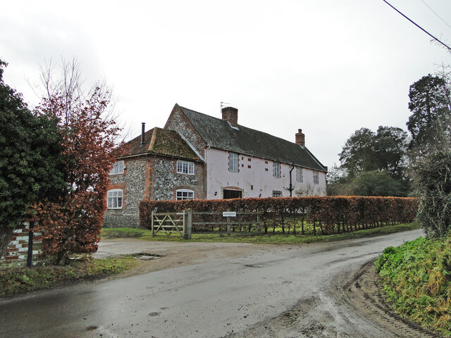
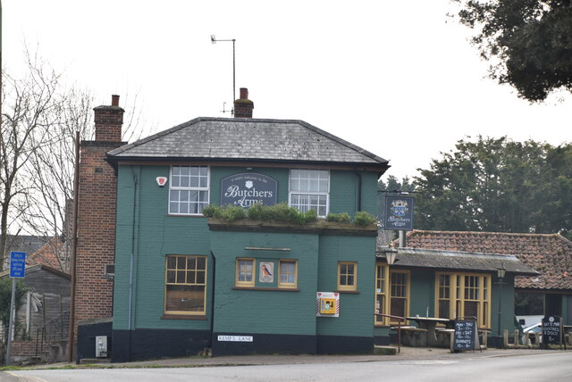
Barsham Hill
Hill, Mountain in Suffolk East Suffolk
England
Barsham Hill

Barsham Hill is a picturesque and scenic hill located in the county of Suffolk, England. Situated near the village of Beccles, it is a prominent feature in the local landscape, offering breathtaking views of the surrounding countryside. Despite being referred to as a hill, it is more accurately described as a gentle and rolling slope rather than a steep incline.
Covered in lush green vegetation, Barsham Hill is a popular destination for nature lovers and outdoor enthusiasts. The hill is home to a diverse range of flora and fauna, with wildflowers and grasses adorning its slopes. Various species of birds can be observed here, making it an ideal spot for birdwatching.
Historically, Barsham Hill has been used for agricultural purposes, with fields and pastures surrounding its base. This has contributed to the preservation of its natural beauty, as it remains relatively untouched by human development. The tranquility of the area makes it an excellent location for leisurely walks and picnics, allowing visitors to immerse themselves in the peacefulness of the countryside.
Barsham Hill also holds cultural significance, as it is believed to have been the site of an ancient settlement dating back to the Iron Age. Archaeological surveys have uncovered remnants of pottery and other artifacts, providing insight into the lives of the people who once inhabited the area.
Overall, Barsham Hill offers a serene retreat for those seeking a break from the hustle and bustle of everyday life. Its natural beauty, combined with its historical and ecological importance, makes it a must-visit destination in Suffolk.
If you have any feedback on the listing, please let us know in the comments section below.
Barsham Hill Images
Images are sourced within 2km of 52.451112/1.5446175 or Grid Reference TM4089. Thanks to Geograph Open Source API. All images are credited.


Barsham Hill is located at Grid Ref: TM4089 (Lat: 52.451112, Lng: 1.5446175)
Administrative County: Suffolk
District: East Suffolk
Police Authority: Suffolk
What 3 Words
///grading.meatballs.cemented. Near Beccles, Suffolk
Nearby Locations
Related Wikis
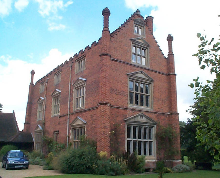
Roos Hall
Roos Hall (or sometimes Rose Hall) is a manor house and former manor ½ a mile (¾km) west of Beccles in Suffolk. It is a Grade I listed building.It is said...

Sir John Leman High School
Sir John Leman High School is a coeducational 11–18 secondary school with academy status serving part of the Waveney region in north Suffolk, England....
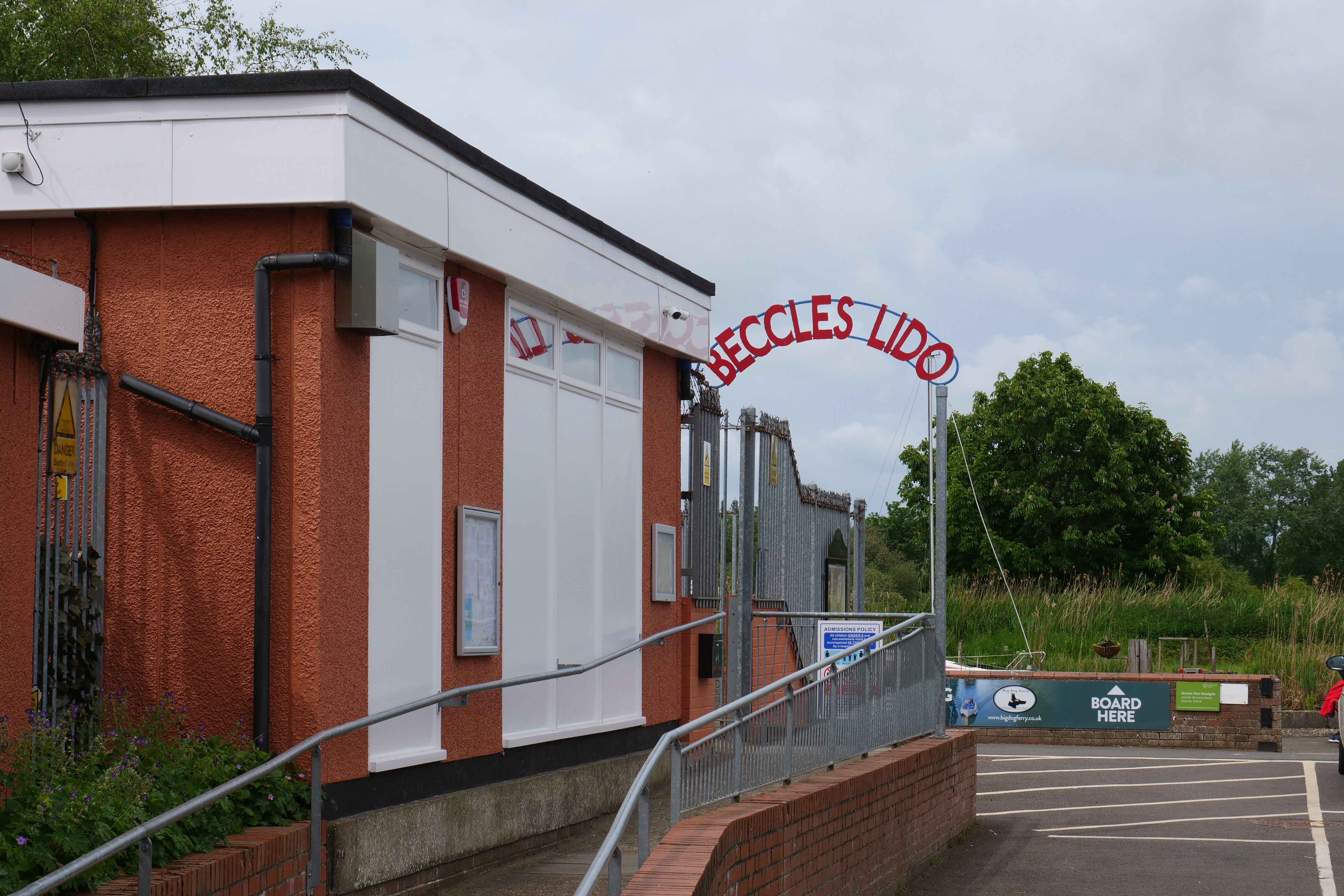
Beccles Lido
Beccles Lido is an open-air pool at Puddingmoor, Beccles, Suffolk, on the banks of the River Waveney. == Description == The lido is 30 x 16 metres with...

Barsham, Suffolk
Barsham is a village and civil parish in the East Suffolk district of the English county of Suffolk. It is about 2 miles (3.2 km) west of Beccles, south...
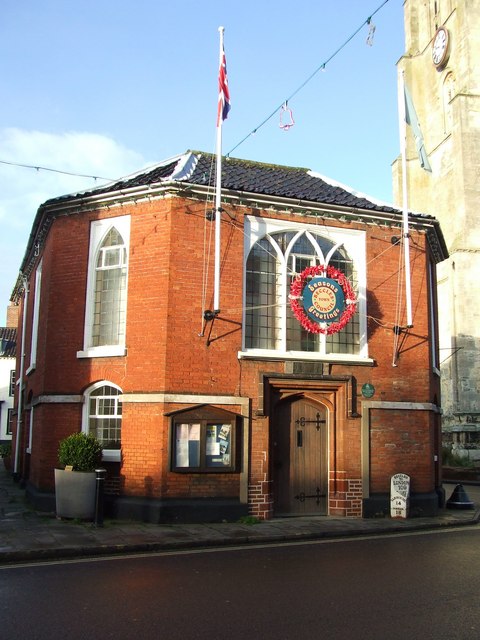
Beccles Town Hall
Beccles Town Hall is a municipal structure in New Market, Beccles, Suffolk, England. The structure, which accommodates the offices and meeting place of...
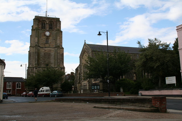
Beccles bell tower
Beccles bell tower is a free-standing Grade I listed edifice associated with the adjacent St. Michael's Church in the market town of Beccles, Suffolk,...
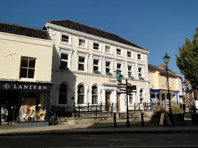
Corn Exchange, Beccles
The Corn Exchange is a commercial building in Exchange Square in Beccles, Suffolk, England. The structure, which is now used as a branch of Lloyds Bank...

Beccles
Beccles ( BEK-əlz) is a market town and civil parish in the English county of Suffolk. The town is shown on the milestone as 109 miles (175 km) from London...
Nearby Amenities
Located within 500m of 52.451112,1.5446175Have you been to Barsham Hill?
Leave your review of Barsham Hill below (or comments, questions and feedback).