Dunburgh Hill

Hill, Mountain in Norfolk South Norfolk

England

Dunburgh Hill

Manor Barn, Kings Dam, Gillingham The old manor barn has been converted into a habitable dwelling
Manor Barn, Kings Dam, Gillingham Credit: Adrian S Pye

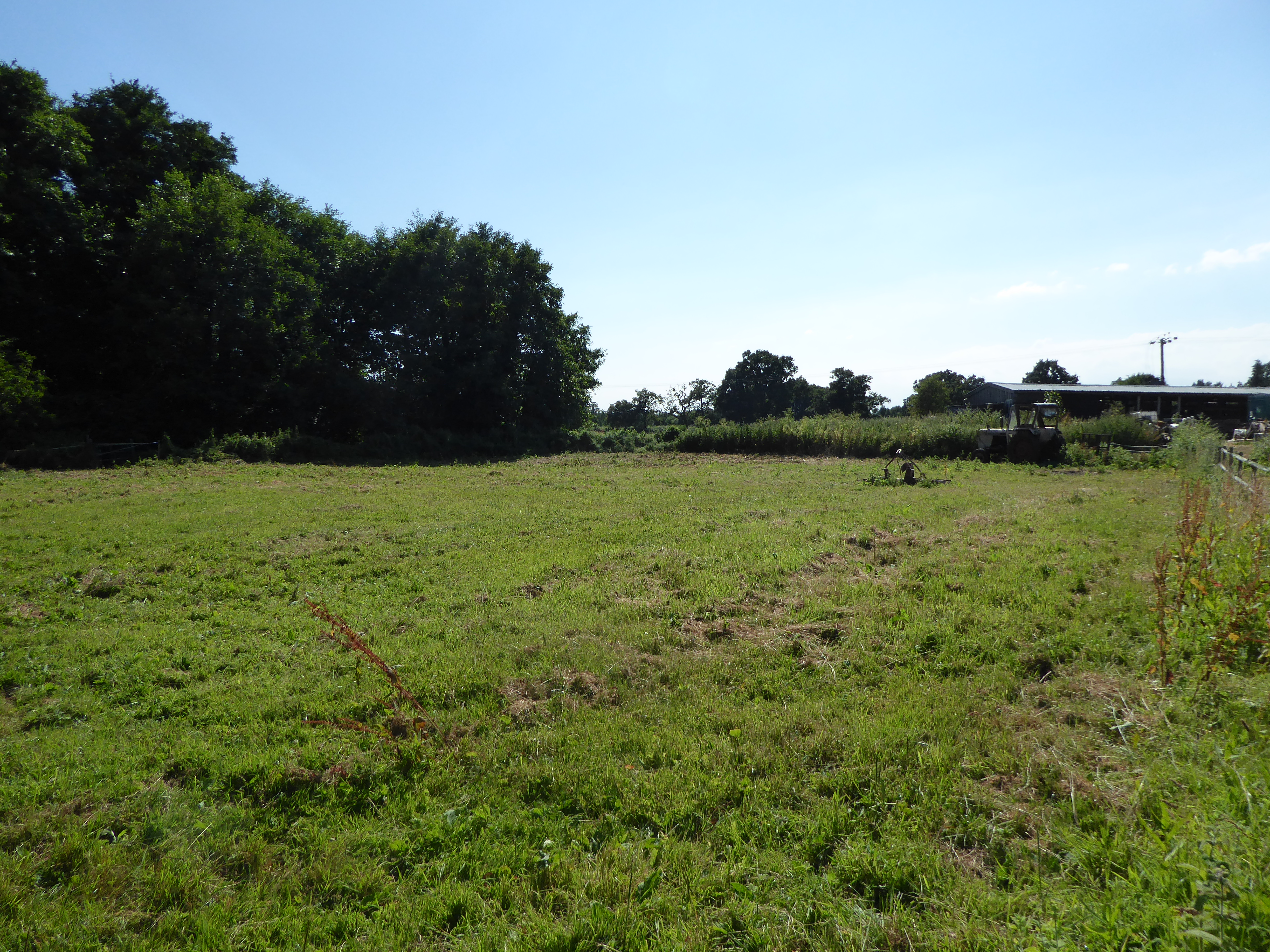
Dunburgh Hill, located in Norfolk, England, is a prominent natural landmark that offers stunning views and a diverse range of flora and fauna. Despite being referred to as a hill, it is more accurately described as a low-lying mountain due to its elevation of 96 meters (315 feet) above sea level.

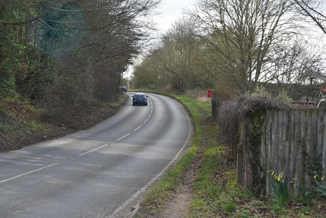
Situated near the village of Ditchingham, Dunburgh Hill is part of the Waveney Valley and is surrounded by lush countryside and picturesque landscapes. It forms part of the Broads National Park, a renowned area of natural beauty in the region.

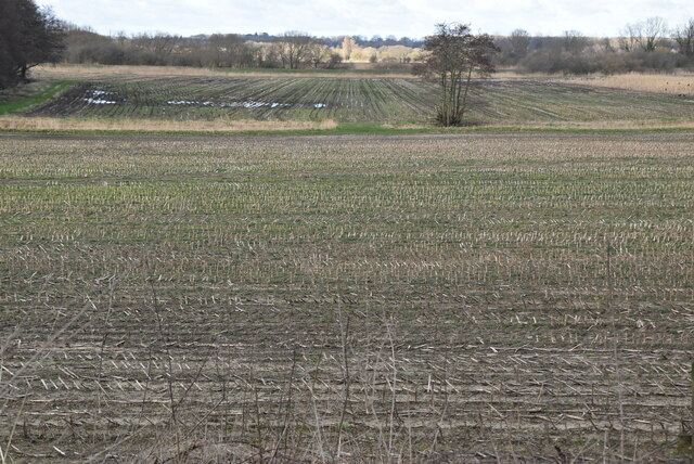
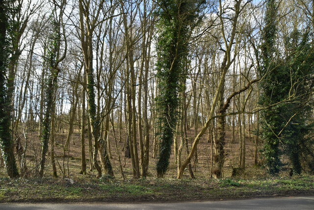
The hill itself is covered in a mixture of woodland, heathland, and grassland, providing a habitat for a variety of plant and animal species. Visitors can expect to encounter species such as oak, birch, and hawthorn trees, as well as a rich array of wildflowers during the spring and summer months.

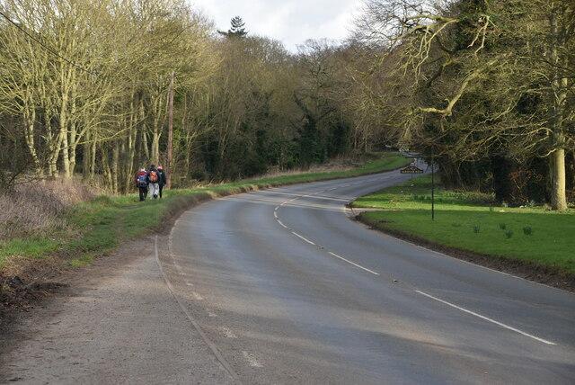
The summit of Dunburgh Hill offers panoramic views across the surrounding countryside, making it a popular destination for hikers, walkers, and nature enthusiasts. On a clear day, it is possible to see as far as the Norfolk Broads and the Waveney River, providing a sense of tranquility and natural beauty.

Access to Dunburgh Hill is relatively easy, with several footpaths and trails leading to its summit. The area is well-maintained and managed by local conservation organizations to preserve its natural beauty and protect its wildlife.

Overall, Dunburgh Hill is a remarkable natural feature in Norfolk, providing a haven for flora and fauna and offering visitors an opportunity to immerse themselves in the region's stunning landscapes.

If you have any feedback on the listing, please let us know in the comments section below.

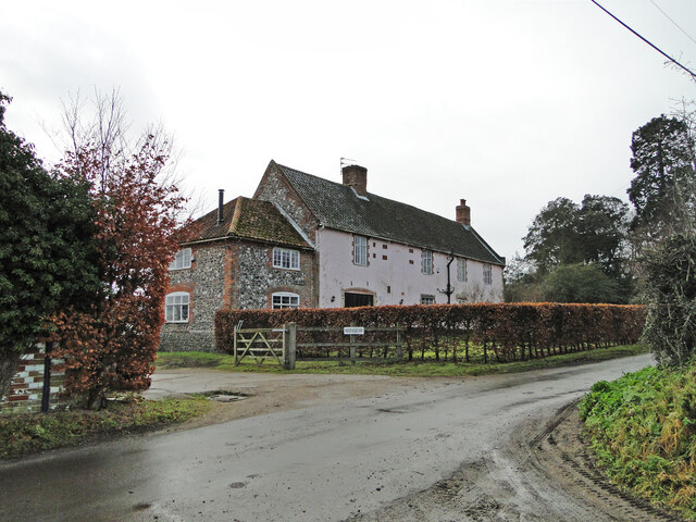
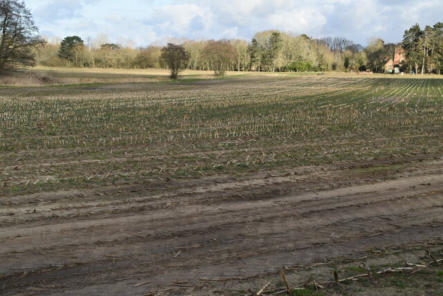
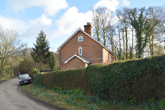
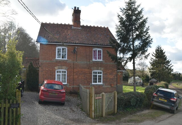
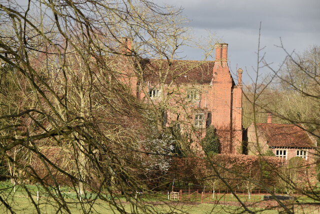
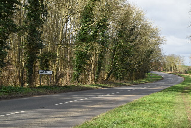
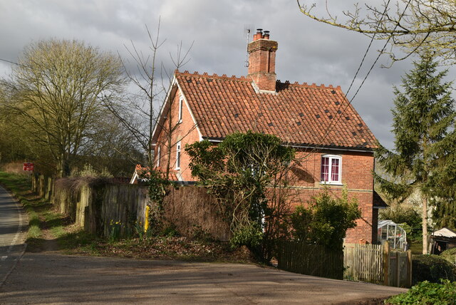
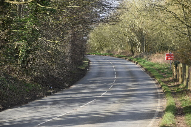
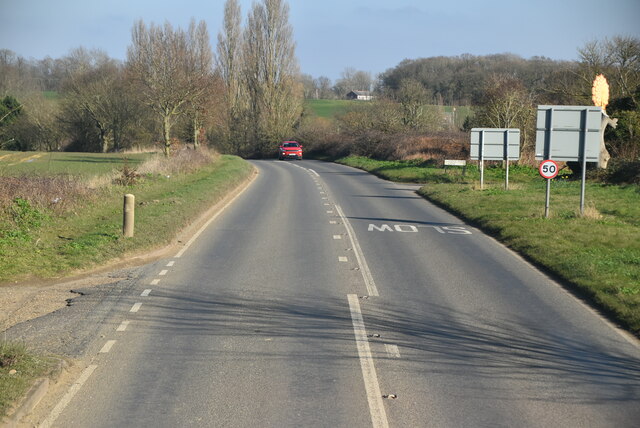
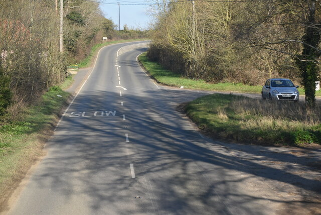
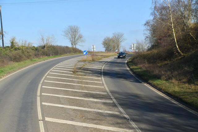
Dunburgh Hill Images

Images are sourced within 2km of 52.468275/1.5349375 or Grid Reference TM4091. Thanks to Geograph Open Source API. All images are credited.

Manor Barn, Kings Dam, Gillingham The old manor barn has been converted into a habitable dwelling
Manor Barn, Kings Dam, Gillingham
The old manor barn has been converted into a habitable dwelling
The Manor House, Kings Dam, Gillingham
Field of Stubble
Field of Stubble
Roos Hall Cottages
Roos Hall Cottages
Roos Hall Cottages
Roos Hall Cottages
Bungay Rd <span class="nowrap"><a title="https://www.sabre-roads.org.uk/wiki/index.php?title=B1062" rel="nofollow ugc noopener" href="https://www.sabre-roads.org.uk/wiki/index.php?title=B1062">Link</a><img style="margin-left:2px;" alt="External link" title="External link - shift click to open in new window" src="https://s1.geograph.org.uk/img/external.png" width="10" height="10"/></span>
Bungay Rd
Field of stubble
Field of stubble
Entering Beccles <span class="nowrap"><a title="https://en.wikipedia.org/wiki/Beccles" rel="nofollow ugc noopener" href="https://en.wikipedia.org/wiki/Beccles">Link</a><img style="margin-left:2px;" alt="External link" title="External link - shift click to open in new window" src="https://s1.geograph.org.uk/img/external.png" width="10" height="10"/></span>
Entering Beccles
Roos Hall Grade I listed.
Roos Hall
Grade I listed.
Entering Barsham, Bungay Rd <span class="nowrap"><a title="https://en.wikipedia.org/wiki/Barsham,_Suffolk" rel="nofollow ugc noopener" href="https://en.wikipedia.org/wiki/Barsham,_Suffolk">Link</a><img style="margin-left:2px;" alt="External link" title="External link - shift click to open in new window" src="https://s1.geograph.org.uk/img/external.png" width="10" height="10"/></span>
Entering Barsham, Bungay Rd
Woodland by Bungay Rd
Roos Hall Cottage
Roos Hall Cottage
Bungay Rd <span class="nowrap"><a title="https://www.sabre-roads.org.uk/wiki/index.php?title=B1062" rel="nofollow ugc noopener" href="https://www.sabre-roads.org.uk/wiki/index.php?title=B1062">Link</a><img style="margin-left:2px;" alt="External link" title="External link - shift click to open in new window" src="https://s1.geograph.org.uk/img/external.png" width="10" height="10"/></span>
Bungay Rd
B1062, Barsham Bridge
Bungay Rd <span class="nowrap"><a title="https://www.sabre-roads.org.uk/wiki/index.php?title=B1062" rel="nofollow ugc noopener" href="https://www.sabre-roads.org.uk/wiki/index.php?title=B1062">Link</a><img style="margin-left:2px;" alt="External link" title="External link - shift click to open in new window" src="https://s1.geograph.org.uk/img/external.png" width="10" height="10"/></span>
Bungay Rd
Show me another place!

Dunburgh Hill is located at Grid Ref: TM4091 (Lat: 52.468275, Lng: 1.5349375)

Administrative County: Norfolk

District: South Norfolk

Police Authority: Norfolk

What 3 Words

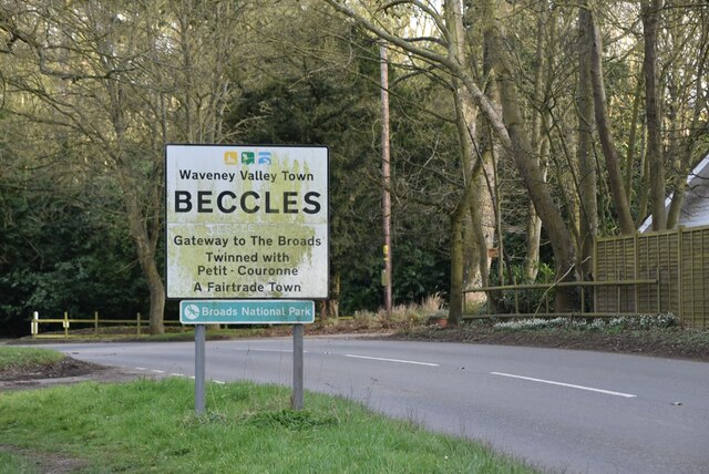
///outdoor.permit.stages. Near Beccles, Suffolk

Nearby Locations

Dunburgh Dunburgh Hill

Related Wikis

Geldeston Meadows

Geldeston Meadows is a 14-hectare (35-acre) biological Site of Special Scientific Interest near Geldeston in Norfolk. It is part of the Broadland Ramsar...

Gillingham, Norfolk

Gillingham ( GHIL-ing-əm) is a small village and civil parish in the English county of Norfolk. The villages is located 1.5 miles (2.4 km) north-west...

Geldeston

Geldeston is a village and civil parish in the English county of Norfolk. The village is located 2.5 miles (4.0 km) north-west of Beccles and 14 miles...

Haughey Air AgustaWestland AW139 crash

On 13 March 2014, an AgustaWestland AW139 helicopter of Haughey Air crashed shortly after taking off at night in fog from Gillingham, Norfolk, United Kingdom...

Nearby Amenities

Located within 500m of 52.468275,1.5349375
Post Box
Postal Code: NR34
Ref: NR34 3413
Lat/Long: 52.4680396/1.5365172
Power: tower
Lat/Long: 52.4720222/1.5324774
Power: tower
Lat/Long: 52.4697578/1.5308317
Power: tower
Lat/Long: 52.4674581/1.5291652
Passing Place
Lat/Long: 52.4676488/1.5351699
Information: guidepost
Operator: Norfolk County Council
Tourism: information
Lat/Long: 52.4671494/1.5350403
The data included in this document is from www.openstreetmap.org. The data is made available under ODbL.

Have you been to Dunburgh Hill?

Leave your review of Dunburgh Hill below (or comments, questions and feedback).