Beacon Hill
Hill, Mountain in Norfolk South Norfolk
England
Beacon Hill
Beacon Hill is a prominent hill located in Norfolk, England. Situated in the Breckland district, it is part of the larger Thetford Forest Park. The hill stands at an elevation of approximately 105 meters (344 feet) above sea level, making it one of the highest points in the region.
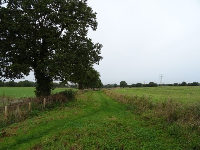
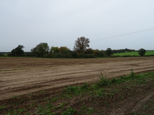
Beacon Hill is notable for its lush greenery and picturesque surroundings. It boasts a variety of plant and animal species, making it an attractive destination for nature enthusiasts and hikers. The area is covered in dense woodland, predominantly consisting of coniferous trees such as pine and spruce. Additionally, heathland and grassy areas can be found on the hill, providing a diverse habitat for wildlife.
The hill has historical significance dating back to ancient times. It is believed to have served as a lookout point during the Roman era, where beacons were lit to warn of potential invasions. This theory is supported by the hill's name, "Beacon Hill." Furthermore, remnants of an Iron Age hillfort can be found on its summit, adding to its historical value.
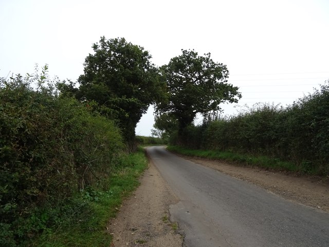
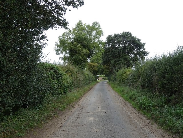
Today, Beacon Hill is a popular recreational spot for locals and visitors alike. It offers various walking trails and viewpoints, allowing visitors to enjoy stunning panoramic views of the surrounding countryside. The hill is also equipped with picnic areas and facilities, making it an ideal location for a day out with family and friends.
Overall, Beacon Hill in Norfolk is a beautiful natural landmark, combining scenic landscapes, historical significance, and recreational opportunities for all to enjoy.
If you have any feedback on the listing, please let us know in the comments section below.
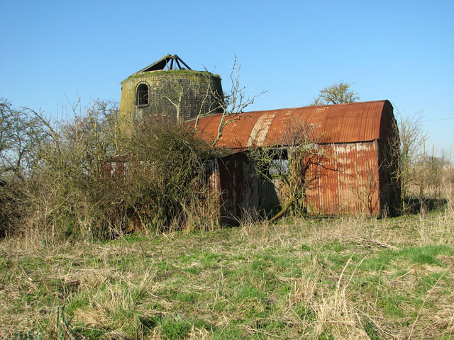
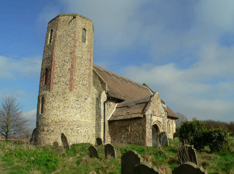
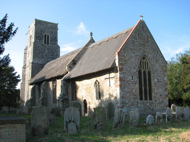
Beacon Hill Images
Images are sourced within 2km of 52.536921/1.5376077 or Grid Reference TM4099. Thanks to Geograph Open Source API. All images are credited.


Beacon Hill is located at Grid Ref: TM4099 (Lat: 52.536921, Lng: 1.5376077)
Administrative County: Norfolk
District: South Norfolk
Police Authority: Norfolk
What 3 Words
///earphones.smooth.obscuring. Near Thurlton, Norfolk
Nearby Locations
Related Wikis

Norton Subcourse
Norton Subcourse is a small village and parish in the county of Norfolk, England, about 9 miles (14 km) south-west of Great Yarmouth. It covers an area...
Heckingham
Heckingham is a small village and parish in the county of Norfolk, England, about a mile east of Loddon. It covers an area of 4.46 km2 (1.72 sq mi) and...

St Gregory's Church, Heckingham
St Gregory's Church is a redundant Anglican church in the village of Heckingham, Norfolk, England. It is recorded in the National Heritage List for England...
Thurlton
Thurlton is a small village in South Norfolk, located 14 miles (22 km) south-east of the city of Norwich, and 9 miles (15 km) west of the Suffolk coastal...

Raveningham
Raveningham (pronounced "Ran-ing'm") is a small village and parish in the county of Norfolk, England, about 13 miles (21 km) south-east of Norwich. It...

River Chet
The River Chet is a small river in South Norfolk, England, a tributary of the River Yare. It rises in Poringland and flows eastwards through Alpington...

Hardley Flood
Hardley Flood is a 49.8-hectare (123-acre) biological Site of Special Scientific Interest near Loddon, between Norwich, Lowestoft and Great Yarmouth in...
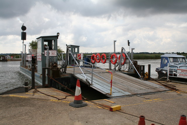
Reedham Ferry
Reedham Ferry is a vehicular chain ferry across the River Yare in the English county of Norfolk, in the Broads. The ferry crosses the river near the village...
Nearby Amenities
Located within 500m of 52.536921,1.5376077Have you been to Beacon Hill?
Leave your review of Beacon Hill below (or comments, questions and feedback).