Ash Carr
Wood, Forest in Norfolk South Norfolk
England
Ash Carr

Ash Carr, Norfolk, is a small village located in the county of Norfolk, England. Situated within the Breckland district, it lies approximately 8 miles northeast of the market town of Thetford. The village is surrounded by picturesque woodlands and forests, giving it a tranquil and scenic ambiance.
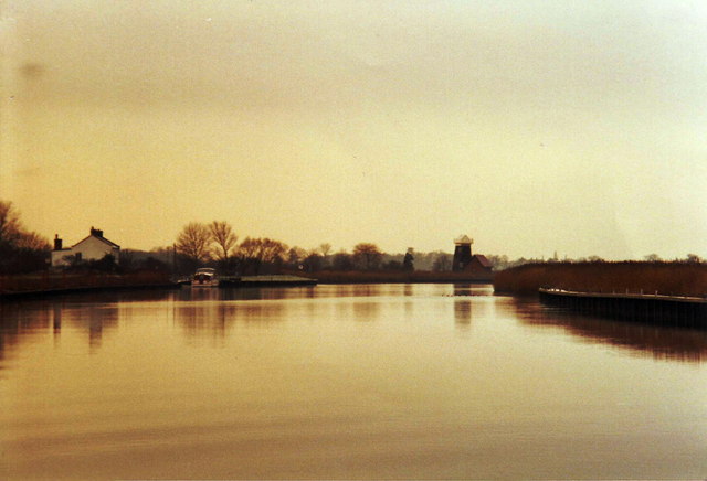
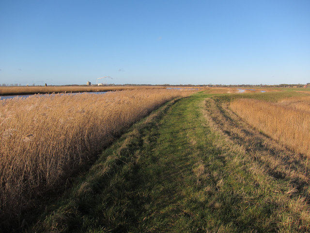
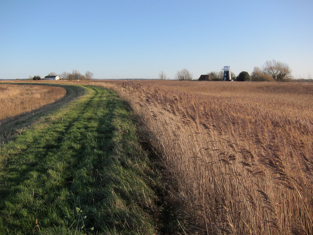
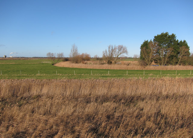
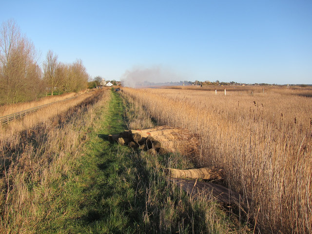
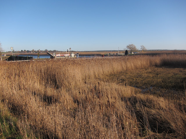
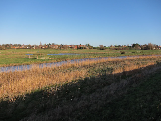
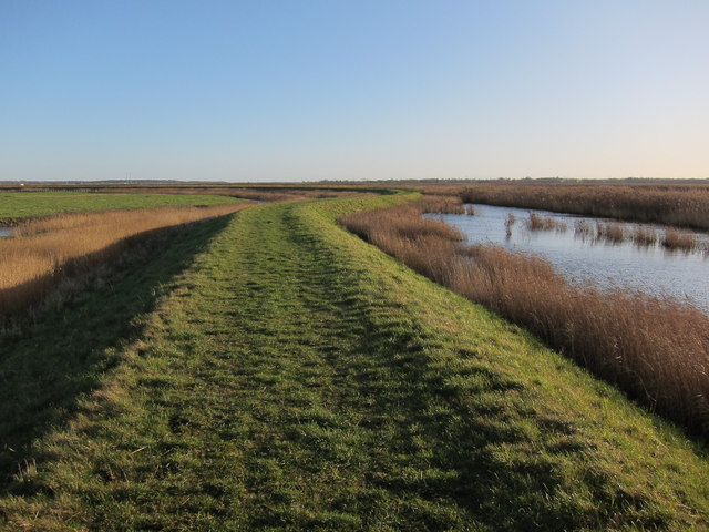
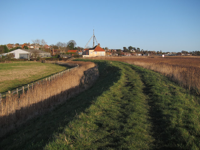
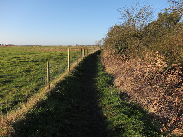
Ash Carr is known for its abundant natural beauty and is a popular destination for nature enthusiasts and outdoor lovers. The area is home to a variety of wildlife, including deer, rabbits, and numerous bird species. The woodlands offer an ideal setting for walking, hiking, and exploring, with several well-marked trails available for visitors to enjoy.
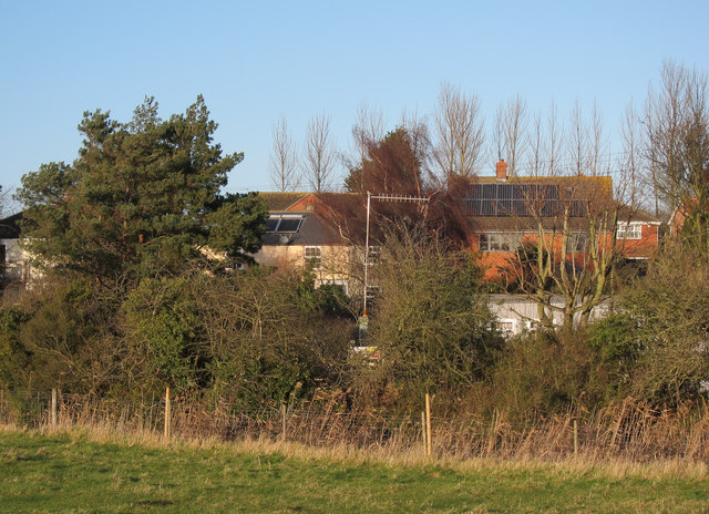
The village itself is small, with a close-knit community of residents who take pride in their surroundings. The houses in Ash Carr are predominantly traditional cottages, adding to the village's charm and character. The local amenities are limited, with a small village hall serving as a gathering place for community events and activities.
Although Ash Carr is a quiet and peaceful village, it benefits from its proximity to larger towns and cities. Thetford, with its range of shops, restaurants, and leisure facilities, is easily accessible, providing residents with convenient access to amenities and services.
Overall, Ash Carr, Norfolk, offers a serene and idyllic setting, perfect for those seeking a rural retreat surrounded by natural beauty. Its proximity to larger towns ensures that residents can enjoy the best of both worlds – a peaceful village lifestyle with the convenience of nearby urban amenities.
If you have any feedback on the listing, please let us know in the comments section below.
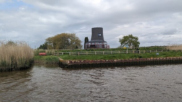
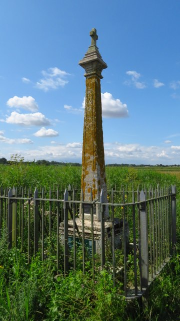
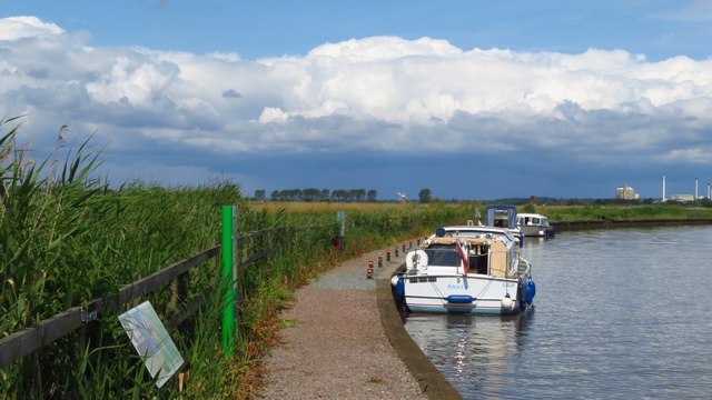
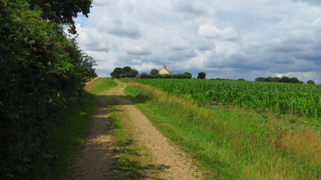
Ash Carr Images
Images are sourced within 2km of 52.543258/1.5512622 or Grid Reference TM4099. Thanks to Geograph Open Source API. All images are credited.

Ash Carr is located at Grid Ref: TM4099 (Lat: 52.543258, Lng: 1.5512622)
Administrative County: Norfolk
District: South Norfolk
Police Authority: Norfolk
What 3 Words
///prayers.pairings.replenish. Near Thurlton, Norfolk
Nearby Locations
Related Wikis

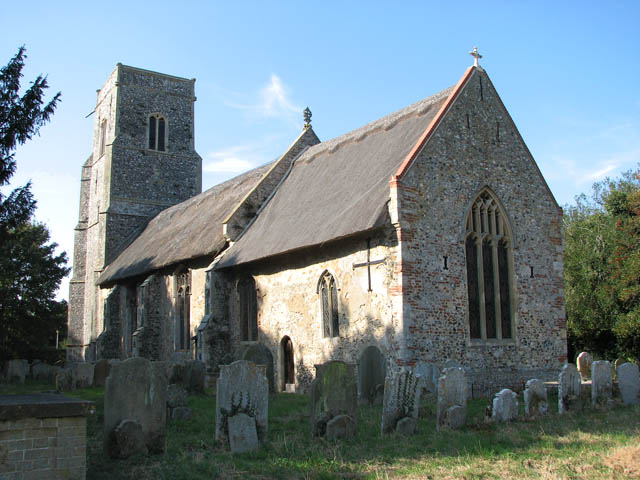
Norton Subcourse
Norton Subcourse is a small village and parish in the county of Norfolk, England, about 9 miles (14 km) south-west of Great Yarmouth. It covers an area...

River Chet
The River Chet is a small river in South Norfolk, England, a tributary of the River Yare. It rises in Poringland and flows eastwards through Alpington...
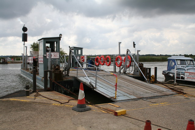
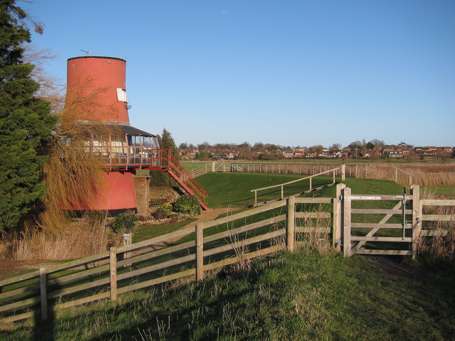
Reedham Ferry
Reedham Ferry is a vehicular chain ferry across the River Yare in the English county of Norfolk, in the Broads. The ferry crosses the river near the village...
Thurlton
Thurlton is a small village in South Norfolk, located 14 miles (22 km) south-east of the city of Norwich, and 9 miles (15 km) west of the Suffolk coastal...
Nearby Amenities
Located within 500m of 52.543258,1.5512622Have you been to Ash Carr?
Leave your review of Ash Carr below (or comments, questions and feedback).