Dunburgh

Settlement in Norfolk South Norfolk

England

Dunburgh

Manor Barn, Kings Dam, Gillingham The old manor barn has been converted into a habitable dwelling
Manor Barn, Kings Dam, Gillingham Credit: Adrian S Pye

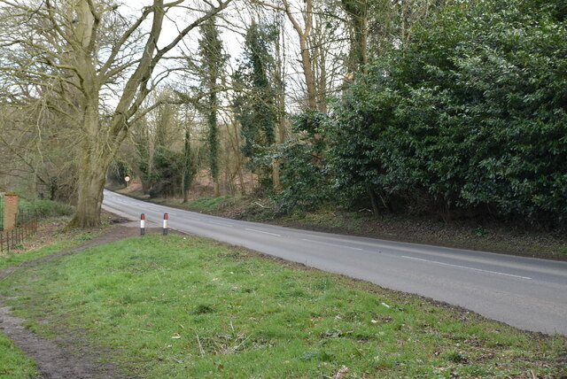
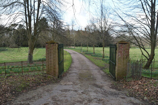
Dunburgh is a small village located in the county of Norfolk, England. Situated approximately 10 miles southwest of the city of Norwich, Dunburgh is surrounded by picturesque countryside and offers a tranquil and rural setting for its residents.

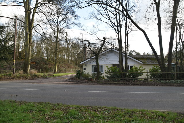
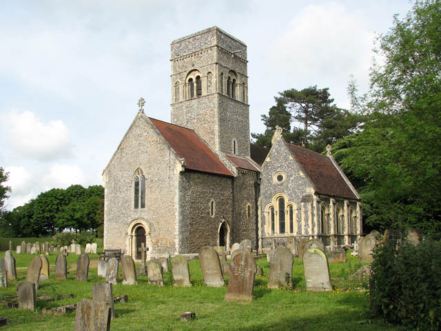
The village is primarily residential, with a population of around 500 people. It is known for its charming and well-preserved traditional architecture, with many of the buildings dating back several centuries. The village center features a quaint parish church, St. Mary's, which is a focal point for the community.

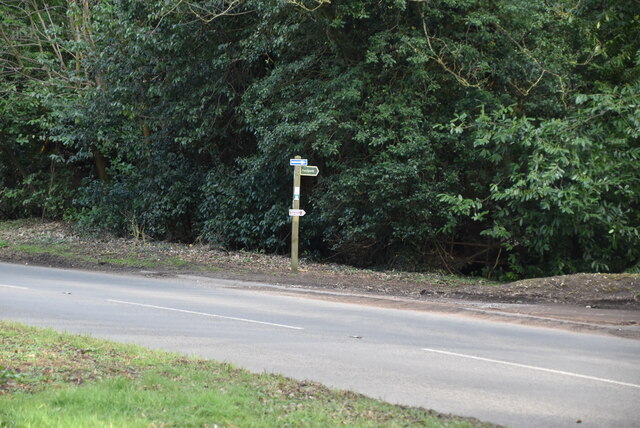
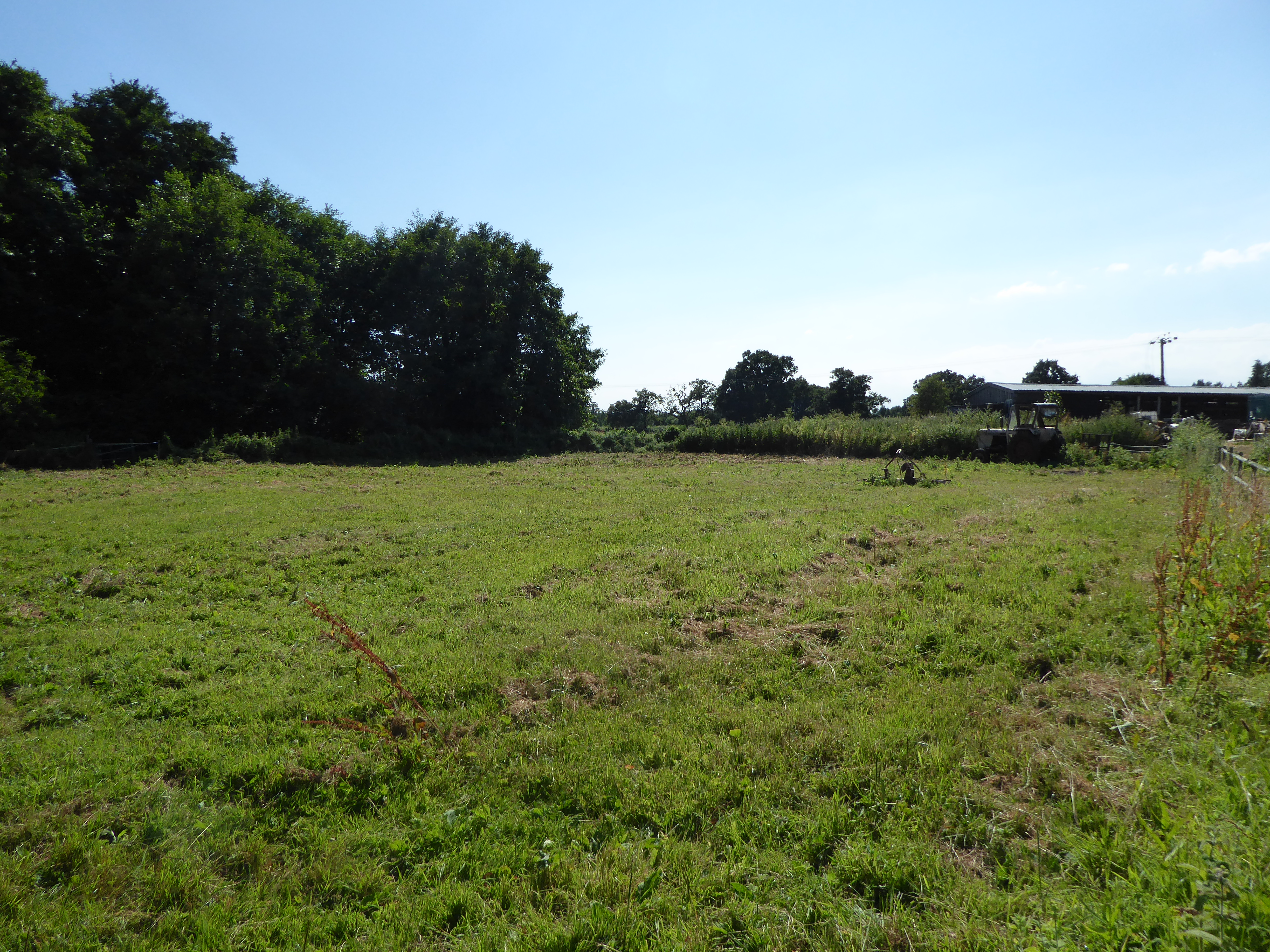
The surrounding countryside provides ample opportunities for outdoor activities such as hiking and cycling, with numerous scenic trails and paths that wind through the countryside. The village is also situated near the River Wensum, which offers fishing and boating opportunities for enthusiasts.

Despite its small size, Dunburgh is well-served by amenities and services. There is a local village hall that hosts various community events and gatherings. Additionally, a small convenience store and a pub provide essential services and a social hub for residents.

Dunburgh's proximity to Norwich allows for easy access to a wider range of amenities and cultural attractions. The city offers a vibrant shopping scene, museums, art galleries, and a range of dining options.

Overall, Dunburgh offers a peaceful and idyllic lifestyle, surrounded by natural beauty and a strong sense of community.

If you have any feedback on the listing, please let us know in the comments section below.
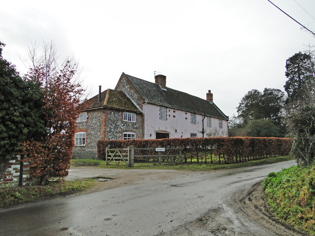
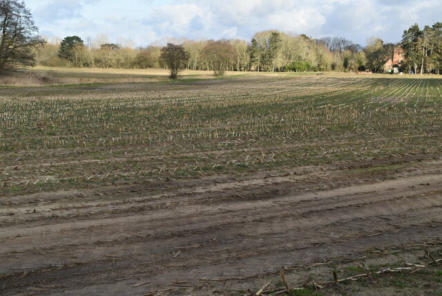
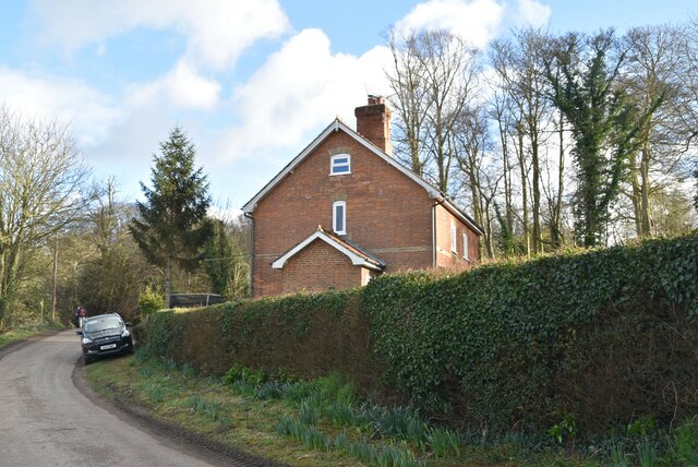
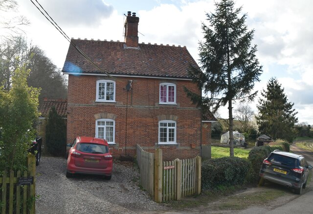
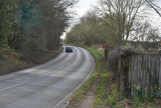
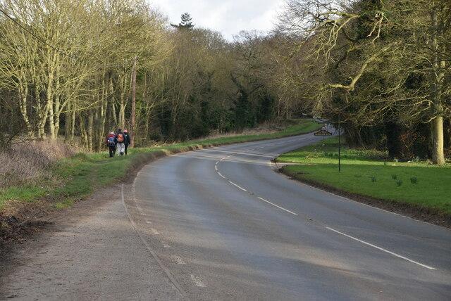
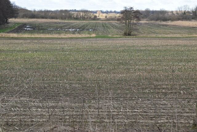
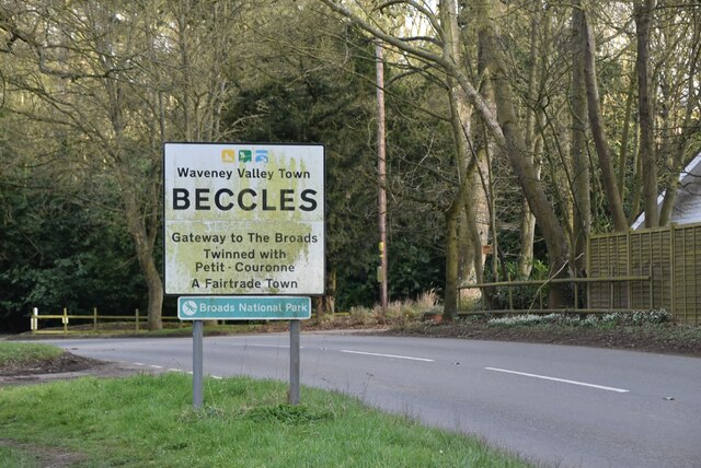
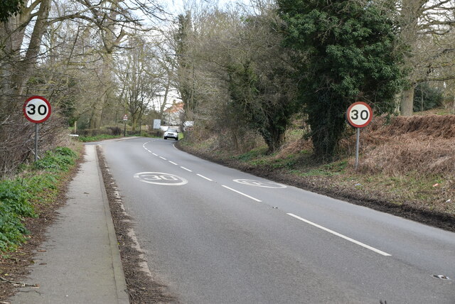
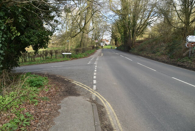
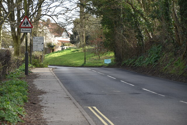
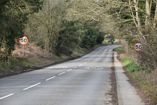
Dunburgh Images

Images are sourced within 2km of 52.468563/1.5394377 or Grid Reference TM4091. Thanks to Geograph Open Source API. All images are credited.

Manor Barn, Kings Dam, Gillingham The old manor barn has been converted into a habitable dwelling
Manor Barn, Kings Dam, Gillingham
The old manor barn has been converted into a habitable dwelling
The Manor House, Kings Dam, Gillingham
Field of Stubble
Field of Stubble
Roos Hall Cottages
Roos Hall Cottages
Roos Hall Cottages
Roos Hall Cottages
Bungay Rd <span class="nowrap"><a title="https://www.sabre-roads.org.uk/wiki/index.php?title=B1062" rel="nofollow ugc noopener" href="https://www.sabre-roads.org.uk/wiki/index.php?title=B1062">Link</a><img style="margin-left:2px;" alt="External link" title="External link - shift click to open in new window" src="https://s1.geograph.org.uk/img/external.png" width="10" height="10"/></span>
Bungay Rd
Field of stubble
Field of stubble
Entering Beccles <span class="nowrap"><a title="https://en.wikipedia.org/wiki/Beccles" rel="nofollow ugc noopener" href="https://en.wikipedia.org/wiki/Beccles">Link</a><img style="margin-left:2px;" alt="External link" title="External link - shift click to open in new window" src="https://s1.geograph.org.uk/img/external.png" width="10" height="10"/></span>
Entering Beccles
Bungalow, Bungay Rd
Bungalow, Bungay Rd
Footpath off Bungay Rd
Bungay Rd <span class="nowrap"><a title="https://www.sabre-roads.org.uk/wiki/index.php?title=B1062" rel="nofollow ugc noopener" href="https://www.sabre-roads.org.uk/wiki/index.php?title=B1062">Link</a><img style="margin-left:2px;" alt="External link" title="External link - shift click to open in new window" src="https://s1.geograph.org.uk/img/external.png" width="10" height="10"/></span>
Bungay Rd
Entrance to Roos Hall
Bungay Rd <span class="nowrap"><a title="https://www.sabre-roads.org.uk/wiki/index.php?title=B1062" rel="nofollow ugc noopener" href="https://www.sabre-roads.org.uk/wiki/index.php?title=B1062">Link</a><img style="margin-left:2px;" alt="External link" title="External link - shift click to open in new window" src="https://s1.geograph.org.uk/img/external.png" width="10" height="10"/></span>
Bungay Rd
Puddingmoor off Bungay Rd <span class="nowrap"><a title="https://www.sabre-roads.org.uk/wiki/index.php?title=B1062" rel="nofollow ugc noopener" href="https://www.sabre-roads.org.uk/wiki/index.php?title=B1062">Link</a><img style="margin-left:2px;" alt="External link" title="External link - shift click to open in new window" src="https://s1.geograph.org.uk/img/external.png" width="10" height="10"/></span>
Puddingmoor off Bungay Rd
Bungay Rd <span class="nowrap"><a title="https://www.sabre-roads.org.uk/wiki/index.php?title=B1062" rel="nofollow ugc noopener" href="https://www.sabre-roads.org.uk/wiki/index.php?title=B1062">Link</a><img style="margin-left:2px;" alt="External link" title="External link - shift click to open in new window" src="https://s1.geograph.org.uk/img/external.png" width="10" height="10"/></span>
Bungay Rd
Roos Hall Grade I listed.
Roos Hall
Grade I listed.
Show me another place!

Dunburgh is located at Grid Ref: TM4091 (Lat: 52.468563, Lng: 1.5394377)

Administrative County: Norfolk

District: South Norfolk

Police Authority: Norfolk

What 3 Words

///stalemate.shaves.storming. Near Beccles, Suffolk

Nearby Locations

Dunburgh Hill Dunburgh

Related Wikis

Gillingham, Norfolk

Gillingham ( GHIL-ing-əm) is a small village and civil parish in the English county of Norfolk. The villages is located 1.5 miles (2.4 km) north-west...

Geldeston Meadows

Geldeston Meadows is a 14-hectare (35-acre) biological Site of Special Scientific Interest near Geldeston in Norfolk. It is part of the Broadland Ramsar...

Haughey Air AgustaWestland AW139 crash

On 13 March 2014, an AgustaWestland AW139 helicopter of Haughey Air crashed shortly after taking off at night in fog from Gillingham, Norfolk, United Kingdom...
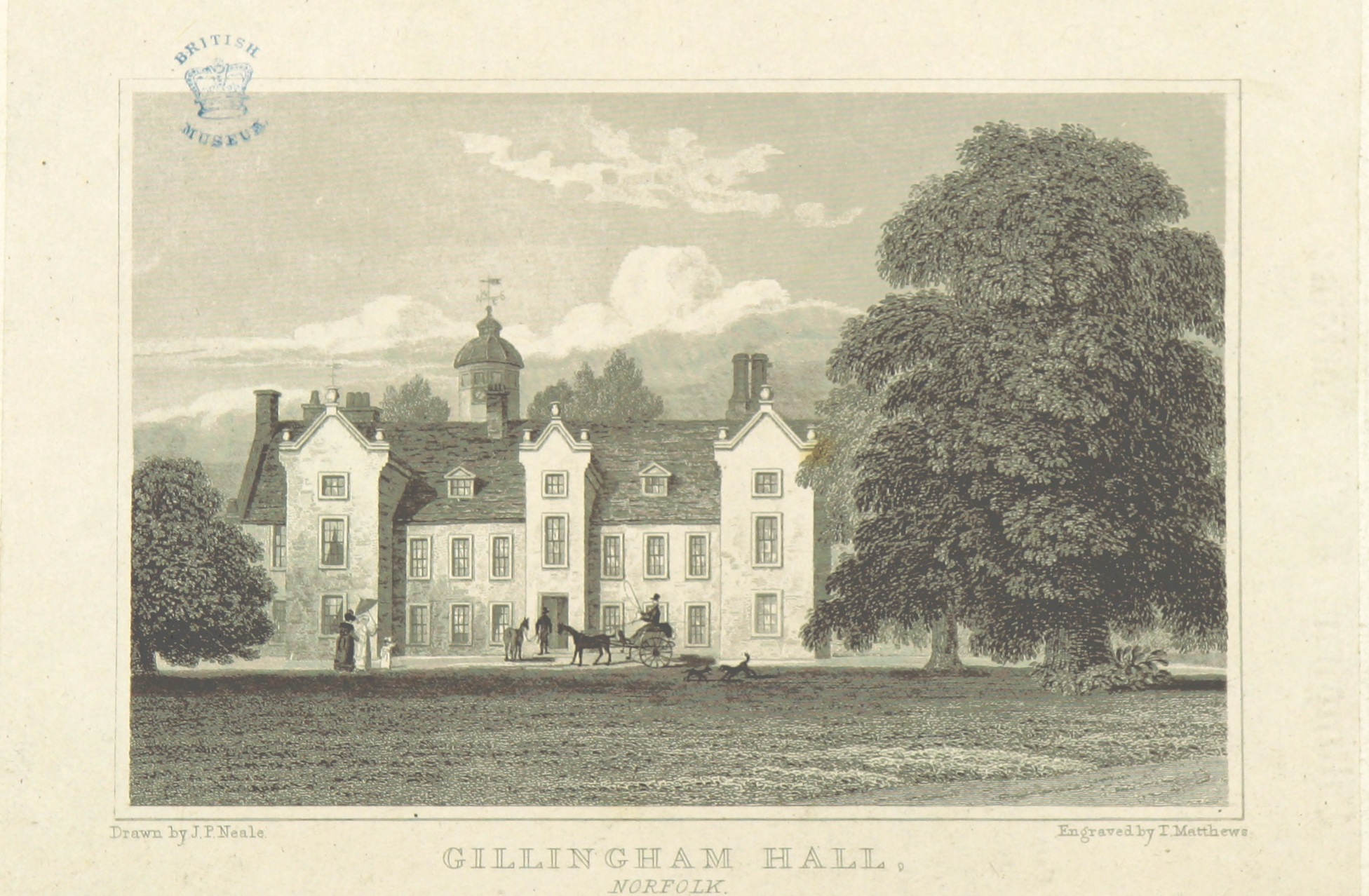
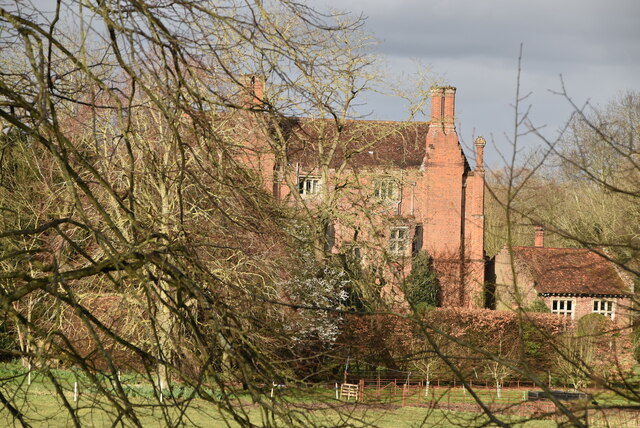
Gillingham Hall

Gillingham Hall is a Jacobean manor house in the village of Gillingham, Norfolk, England. It is a Grade II* Listed Building.The house has 10-bedrooms and...

Nearby Amenities

Located within 500m of 52.468563,1.5394377
Post Box
Postal Code: NR34
Ref: NR34 3413
Lat/Long: 52.4680396/1.5365172
Bench
Lat/Long: 52.4730138/1.5402425
Power: pole
Lat/Long: 52.4699858/1.5438379
Power: pole
Lat/Long: 52.4705414/1.5437883
Power: pole
Lat/Long: 52.4715185/1.5437185
Power: pole
Lat/Long: 52.4705161/1.5437695
Passing Place
Lat/Long: 52.4676488/1.5351699
Information: guidepost
Operator: Norfolk County Council
Tourism: information
Lat/Long: 52.4671494/1.5350403
The data included in this document is from www.openstreetmap.org. The data is made available under ODbL.

Have you been to Dunburgh?

Leave your review of Dunburgh below (or comments, questions and feedback).