Camp Hill
Hill, Mountain in Norfolk South Norfolk
England
Camp Hill
Camp Hill, Norfolk is a small hill located in the county of Norfolk, England. Situated in the East Anglian region, it is an area known for its picturesque landscapes and rich history. Camp Hill is located near the village of Northwold, approximately 10 miles southwest of the town of Thetford.
The hill itself is not particularly tall, standing at a modest elevation of around 70 meters above sea level. However, its prominence in the surrounding flat landscape makes it a notable landmark in the area. The summit of Camp Hill offers stunning panoramic views of the Norfolk countryside, with rolling fields and wooded areas stretching as far as the eye can see.
The name "Camp Hill" originates from its historical significance as a site for military encampments. During various periods in history, the hill was used as a strategic location for defensive purposes. Archaeological evidence suggests that it may have been occupied during the Iron Age, and later by the Romans and Saxons.
Today, Camp Hill is a popular destination for outdoor enthusiasts and nature lovers. The surrounding area offers numerous walking and cycling trails, allowing visitors to explore the natural beauty of Norfolk. Wildlife is abundant, with a diverse range of flora and fauna found on and around the hill.
In summary, Camp Hill, Norfolk is a small but historically significant hill in the county of Norfolk, England. Its panoramic views and natural beauty make it a popular destination for those seeking outdoor activities and a glimpse into the region's past.
If you have any feedback on the listing, please let us know in the comments section below.
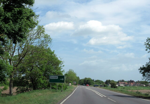
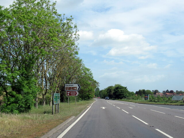
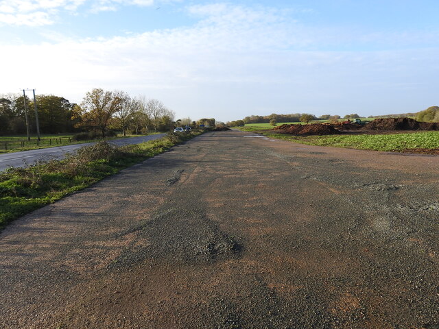
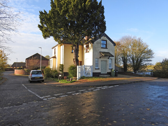
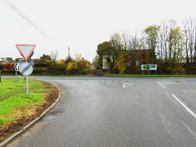
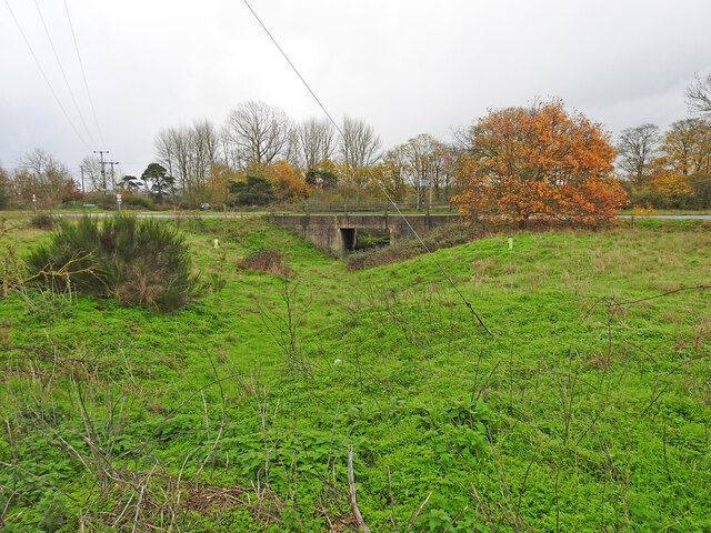
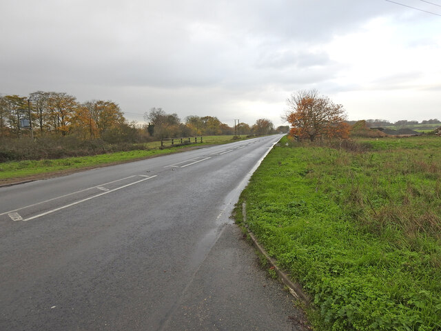
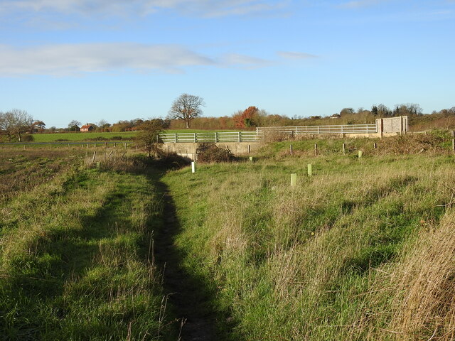
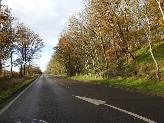
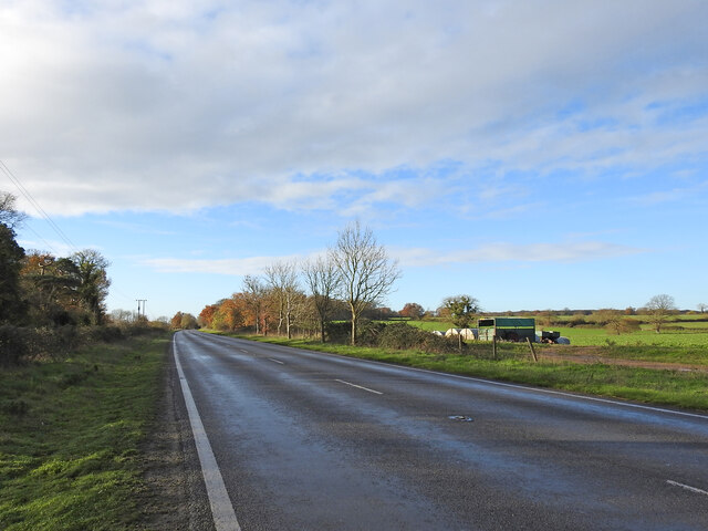
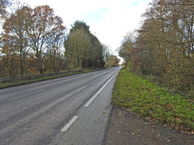
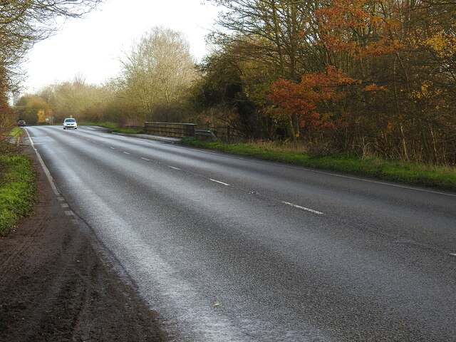
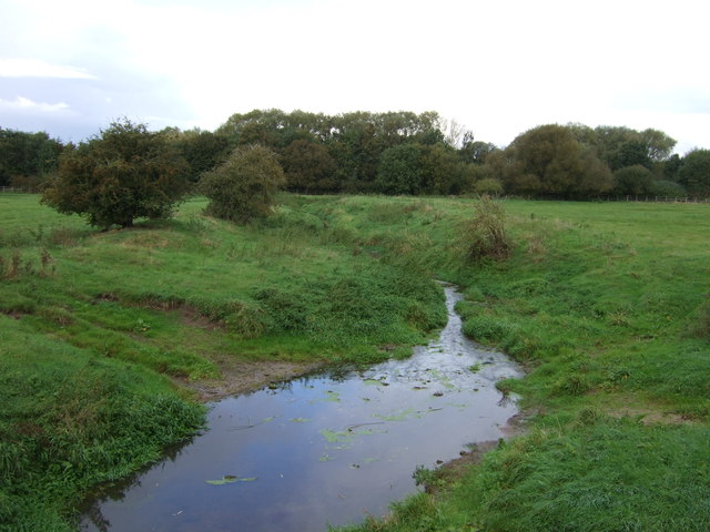
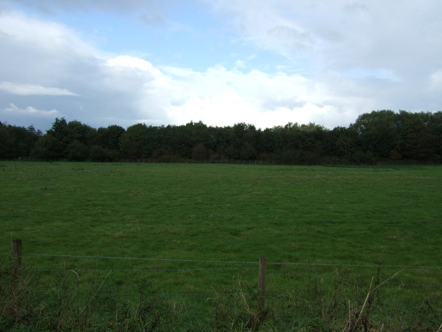
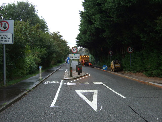
Camp Hill Images
Images are sourced within 2km of 52.450953/1.397877 or Grid Reference TM3089. Thanks to Geograph Open Source API. All images are credited.

Camp Hill is located at Grid Ref: TM3089 (Lat: 52.450953, Lng: 1.397877)
Administrative County: Norfolk
District: South Norfolk
Police Authority: Norfolk
What 3 Words
///metro.important.spacing. Near Bungay, Suffolk
Nearby Locations
Related Wikis

Earsham railway station
Earsham was a railway station in Earsham, Norfolk, England. It was located on the Waveney Valley Line which connected Beccles with the Great Eastern Main...

Earsham
Earsham is a village and civil parish in the English county of Norfolk. Earsham is located 1.7 kilometres (1.1 mi) west of its postal town of Bungay and...
Flixton, The Saints
Flixton is a village and civil parish located in the north of the English county of Suffolk. It is around 2 miles (3.2 km) south-west of Bungay in the...

Bungay railway station
Bungay railway station was located on the now disused Waveney Valley Line which ran between Tivetshall and Beccles. The station was closed in 1953 and...

RAF Bungay
Royal Air Force Bungay or more simply RAF Bungay (known locally as Flixton) is a former Royal Air Force station located 3 miles (4.8 km) south-west of...

Bath Hills
Bath Hills is a 12.2-hectare (30-acre) Local Nature Reserve west of Ditchingham in Norfolk. It is owned by South Norfolk District Council and managed...

Bungay Castle
Bungay Castle is a Grade I listed building in the town of Bungay, Suffolk. == History == The site was originally a Norman castle built by Roger Bigod in...

Bungay
Bungay () is a market town, civil parish and electoral ward in the English county of Suffolk. It lies in the Waveney Valley, 5.5 miles (9 km) west of Beccles...
Nearby Amenities
Located within 500m of 52.450953,1.397877Have you been to Camp Hill?
Leave your review of Camp Hill below (or comments, questions and feedback).