Earsham Park

Downs, Moorland in Norfolk South Norfolk

England

Earsham Park

Denton: Denton Road
Denton: Denton Road Credit: Michael Garlick

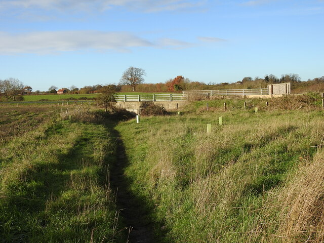
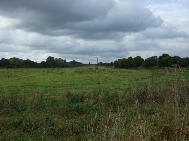
Earsham Park is a picturesque estate located in the county of Norfolk, England. Nestled amidst the beautiful countryside, it encompasses vast expanses of downs and moorland, creating a diverse and captivating landscape.

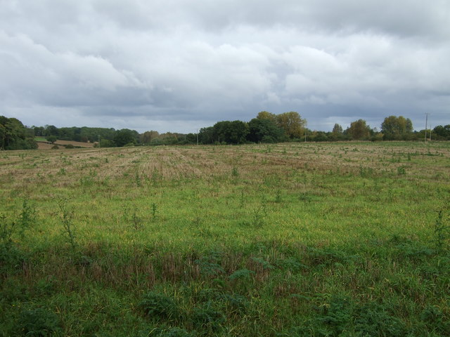
The park covers an extensive area, offering visitors the opportunity to explore and immerse themselves in nature. With its rolling hills and open meadows, it provides a tranquil setting for outdoor activities such as walking, picnicking, and wildlife spotting. The downs, with their sweeping views, are particularly popular among hikers and nature enthusiasts.

The moorland within Earsham Park is characterized by its heathland vegetation, including a variety of grasses, heathers, and wildflowers. This habitat supports a range of wildlife, including birds like the skylark and stonechat, as well as various species of butterflies and insects. Nature lovers will be delighted by the opportunity to observe and appreciate these creatures in their natural habitat.

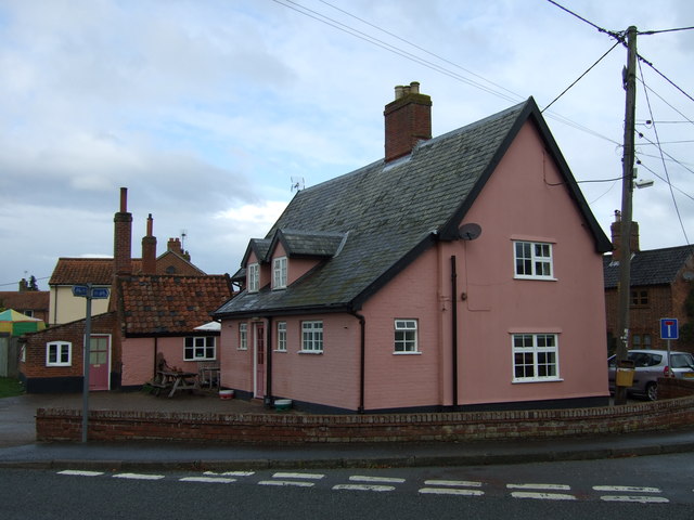
Aside from its natural beauty, Earsham Park also boasts a rich historical background. The estate is home to a number of historical buildings, including a grand manor house that dates back to the 17th century. This architectural gem adds a touch of elegance to the park, providing visitors with a glimpse into the region's past.

Overall, Earsham Park in Norfolk offers a unique and captivating experience for those seeking solace in nature or a glimpse into history. With its diverse landscape and rich wildlife, it is a haven for outdoor enthusiasts and a place of tranquility for all who visit.

If you have any feedback on the listing, please let us know in the comments section below.
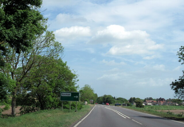
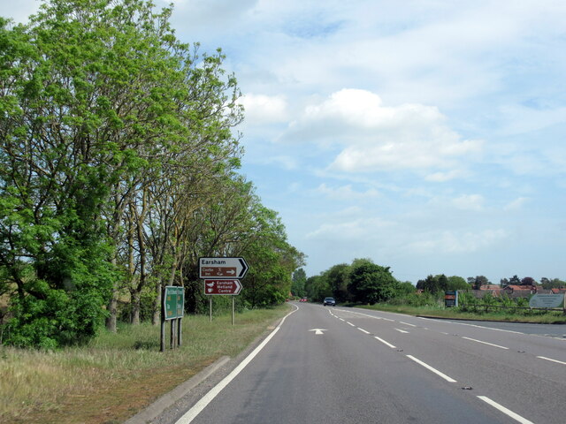
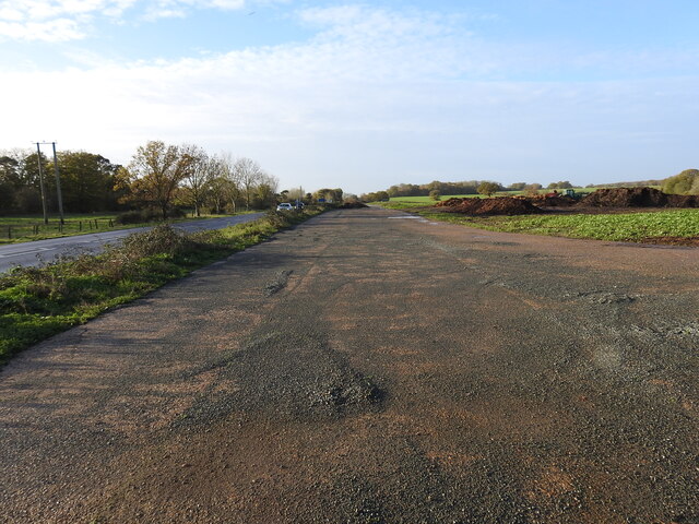
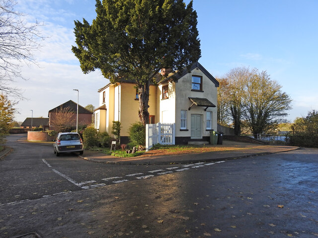
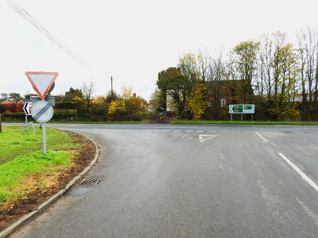
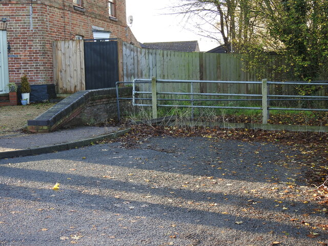
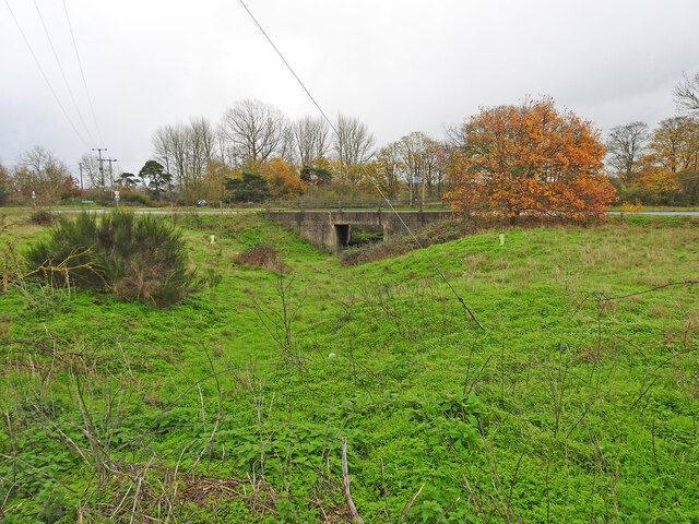
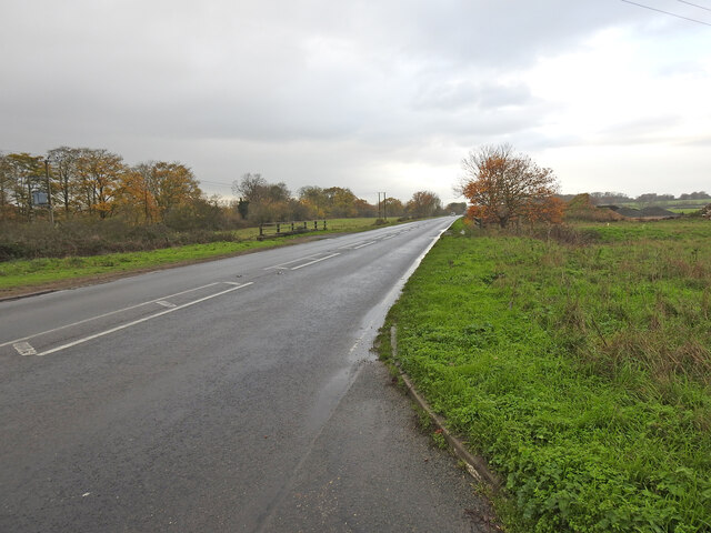
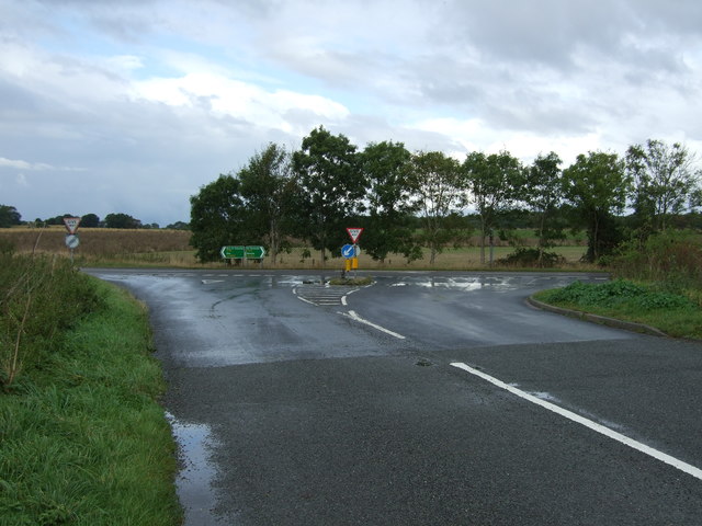
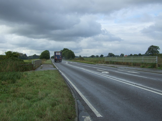
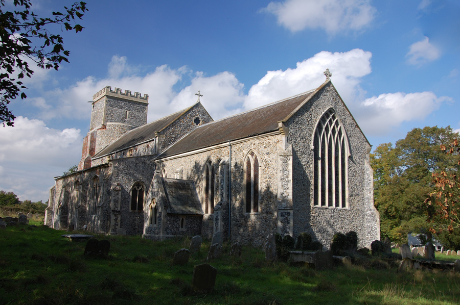
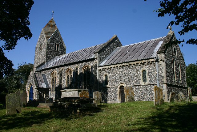
Earsham Park Images

Images are sourced within 2km of 52.457002/1.3914526 or Grid Reference TM3089. Thanks to Geograph Open Source API. All images are credited.

Denton: Denton Road
Denton: Denton Road
A143 east at turning for Earsham
Earsham turning on A143 east
Earsham Hall: Car parking area
Site of the WW2 munitions siding at Earsham This was the access road and the siding ran alongside, to the left of the concrete roadway. It was here that, during WW2, a siding of about 437 yards (400 metres) was constructed north of the track for munitions and other materials to be off-loaded onto trucks for delivery to the local airfields.  In the meantime many of the bombs were stored alongside roads nearby including Whitehouse and Hogg Lane and Denton Road. <a href="https://www.geograph.org.uk/photo/7354966">TM2990 : One of the eight similar hard-standings </a> It was a dispersed USAAF bomb storage facility that had its headquarters at Earsham Hall, which was requisitioned for the purpose. Many of the roadside hard standings remain extant to this day. During the time the siding was in existence more than 200,000 tons of freight, mainly bombs were delivered by 625 special trains.
Site of the WW2 munitions siding at Earsham
This was the access road and the siding ran alongside, to the left of the concrete roadway. It was here that, during WW2, a siding of about 437 yards (400 metres) was constructed north of the track for munitions and other materials to be off-loaded onto trucks for delivery to the local airfields. In the meantime many of the bombs were stored alongside roads nearby including Whitehouse and Hogg Lane and Denton Road. TM2990 : One of the eight similar hard-standings It was a dispersed USAAF bomb storage facility that had its headquarters at Earsham Hall, which was requisitioned for the purpose. Many of the roadside hard standings remain extant to this day. During the time the siding was in existence more than 200,000 tons of freight, mainly bombs were delivered by 625 special trains.
The former Earsham railway station house The old platform is still extant and the sloping end can be seen just in front of the trees.
From the outset Earsham Station was a passenger station and had no goods facilities. The single 310 feet long platform and a signal box were its only other assets, being only a mile west of Bungay additional works were deemed unwarranted. The station bisected Hall Road, the village end of which was thereafter known as Station Road with a level crossing on the Bungay side.
The former Earsham railway station house
The old platform is still extant and the sloping end can be seen just in front of the trees. From the outset Earsham Station was a passenger station and had no goods facilities. The single 310 feet long platform and a signal box were its only other assets, being only a mile west of Bungay additional works were deemed unwarranted. The station bisected Hall Road, the village end of which was thereafter known as Station Road with a level crossing on the Bungay side.
Site of the former level crossing at Earsham This side of the Hall Road has been realigned and widened, but the position of the gates were to the left of the former station between it and the telegraph pole.
The other side of what was Hall Road before it was bisected by the railway was renamed Station Road.
Site of the former level crossing at Earsham
This side of the Hall Road has been realigned and widened, but the position of the gates were to the left of the former station between it and the telegraph pole. The other side of what was Hall Road before it was bisected by the railway was renamed Station Road.
Remains of the 310 feet long station platform at Earsham This picture was taken as if standing on the former level crossing of the railway  which ran this side of the platform with the signal box out from the right side of the picture
Remains of the 310 feet long station platform at Earsham
This picture was taken as if standing on the former level crossing of the railway which ran this side of the platform with the signal box out from the right side of the picture
Underpass on the site of a former level crossing The Waveney Valley line had a level crossing (#61) where this road now passes over an underpass created for the farmer to access the land on the opposite side of the road.
Underpass on the site of a former level crossing
The Waveney Valley line had a level crossing (#61) where this road now passes over an underpass created for the farmer to access the land on the opposite side of the road.
A143 Old Railway Road past the munitions siding West (right) of the road was a loop siding which was installed in 1944 for materials and munitions to be offloaded for storage and onward delivery to the American Bomb Groups at the airfields in the vicinity for final delivery to Germany. A concrete roadway <a href="https://www.geograph.org.uk/photo/7355018">TM3087 : Site of the WW2 munitions siding at Earsham</a> stretched the length of the siding which was about 450 yards (411 metres).
The railings are the site of an underpass which was the location of the level crossing (#61) at Drakes Lane crossing.
A143 Old Railway Road past the munitions siding
West (right) of the road was a loop siding which was installed in 1944 for materials and munitions to be offloaded for storage and onward delivery to the American Bomb Groups at the airfields in the vicinity for final delivery to Germany. A concrete roadway TM3087 : Site of the WW2 munitions siding at Earsham stretched the length of the siding which was about 450 yards (411 metres). The railings are the site of an underpass which was the location of the level crossing (#61) at Drakes Lane crossing.
Underpass, the site of a former level crossing #63 The road alignment has been much altered but this was the site of the Five Acre Lane crossing. There is no sign of a gatekeepers cottage so it was the train crew who would have operated the gates. The gates were removed in 1954 while trains still ran on the line.
The old lane is now a footpath which follows the follows the same route as far as Pheasant's Walk.
Underpass, the site of a former level crossing #63
The road alignment has been much altered but this was the site of the Five Acre Lane crossing. There is no sign of a gatekeepers cottage so it was the train crew who would have operated the gates. The gates were removed in 1954 while trains still ran on the line. The old lane is now a footpath which follows the follows the same route as far as Pheasant's Walk.
The Queens Head, Earsham
Sign for the Queens Head, Earsham
Minor road, Earsham Looking south west.
Minor road, Earsham
Looking south west.
Farmland beside the A143 near Earsham
Minor road junction with the A143 near Earsham
A143 towards Harleston Looking south west near Earsham.
A143 towards Harleston
Looking south west near Earsham.
Farmland off Hall Road
Show me another place!

Earsham Park is located at Grid Ref: TM3089 (Lat: 52.457002, Lng: 1.3914526)

Administrative County: Norfolk

District: South Norfolk

Police Authority: Norfolk

What 3 Words

///hound.note.sleepy. Near Bungay, Suffolk

Related Wikis

Earsham railway station

Earsham was a railway station in Earsham, Norfolk, England. It was located on the Waveney Valley Line which connected Beccles with the Great Eastern Main...

Earsham

Earsham is a village and civil parish in the English county of Norfolk. Earsham is located 1.7 kilometres (1.1 mi) west of its postal town of Bungay and...

Sexton Wood

Sexton Wood is a 40-hectare (99-acre) biological Site of Special Scientific Interest north-west of Ditchingham in Norfolk. It is a Nature Conservation...

Bath Hills

Bath Hills is a 12.2-hectare (30-acre) Local Nature Reserve west of Ditchingham in Norfolk. It is owned by South Norfolk District Council and managed...

Bungay railway station

Bungay railway station was located on the now disused Waveney Valley Line which ran between Tivetshall and Beccles. The station was closed in 1953 and...

Denton, Norfolk

Denton is a village and civil parish in the English county of Norfolk. Denton is located 3.8 miles north-east of Harleston and 13 miles south of Norwich...

Flixton, The Saints

Flixton is a village and civil parish located in the north of the English county of Suffolk. It is around 2 miles (3.2 km) south-west of Bungay in the...

Bungay Castle

Bungay Castle is a Grade I listed building in the town of Bungay, Suffolk. == History == The site was originally a Norman castle built by Roger Bigod in...

Nearby Amenities

Located within 500m of 52.457002,1.3914526
Earsham Hall
Place: locality
Wikidata: Q17531622
Wikipedia: en:Earsham Hall
Lat/Long: 52.4580194/1.3957767
The data included in this document is from www.openstreetmap.org. The data is made available under ODbL.

Have you been to Earsham Park?

Leave your review of Earsham Park below (or comments, questions and feedback).