Boxlees Hill
Hill, Mountain in Kent Thanet
England
Boxlees Hill
Boxlees Hill is a prominent geographical feature located in the county of Kent, England. Positioned within the North Downs, it is often referred to as a hill due to its relatively elevated height compared to the surrounding landscape. Boxlees Hill is situated near the village of Boxley, approximately 4 miles northwest of the county town of Maidstone.
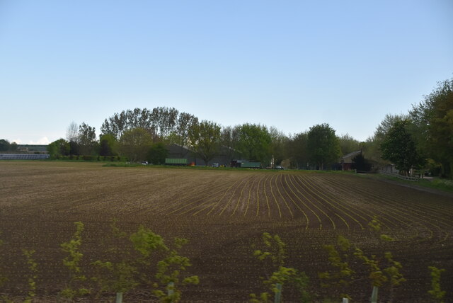
Rising to a height of around 170 meters (560 feet), Boxlees Hill offers sweeping panoramic views of the surrounding countryside, making it a popular destination for hikers, nature enthusiasts, and photographers. The hill is primarily composed of chalk, a characteristic feature of the North Downs. This chalky composition contributes to the distinct landscape of the area.
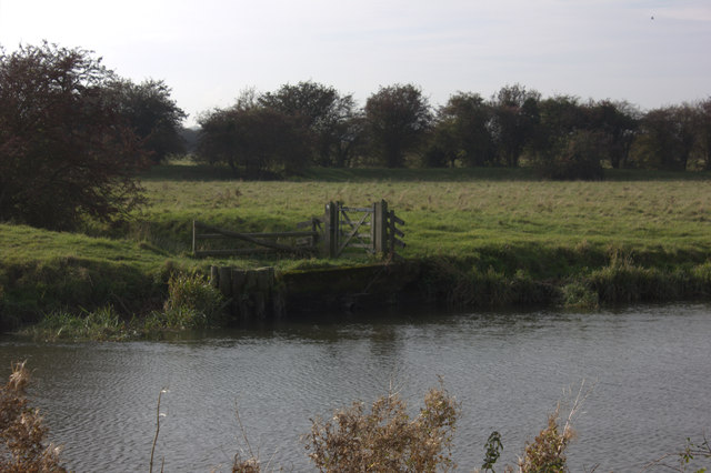
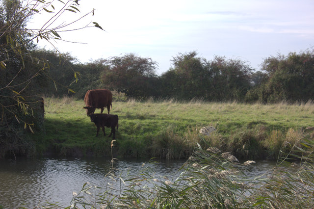
Boxlees Hill is adorned with a diverse range of flora and fauna, showcasing the region's natural beauty. The hillside is adorned with wildflowers during the spring and summer months, creating a vibrant and colorful environment. Additionally, the area is home to a variety of wildlife, including birds, mammals, and insects.
The hill is also of historical significance, as it was once the site of a Roman settlement. Archaeological excavations have revealed remnants of Roman pottery and other artifacts, providing insight into the area's rich history.
Overall, Boxlees Hill stands as a notable landmark in Kent, offering both natural beauty and historical significance to visitors and residents alike.
If you have any feedback on the listing, please let us know in the comments section below.
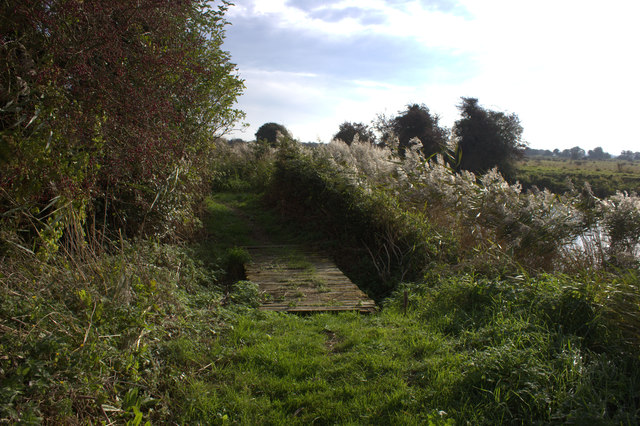
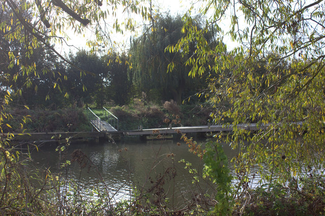
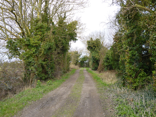
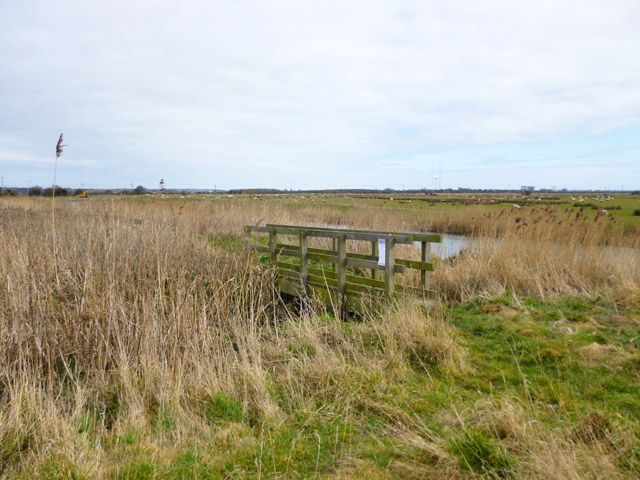
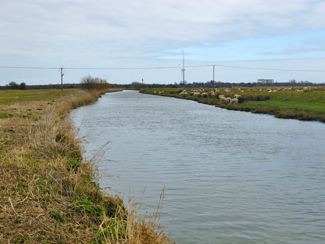
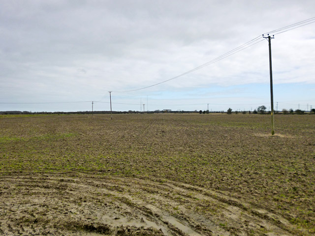
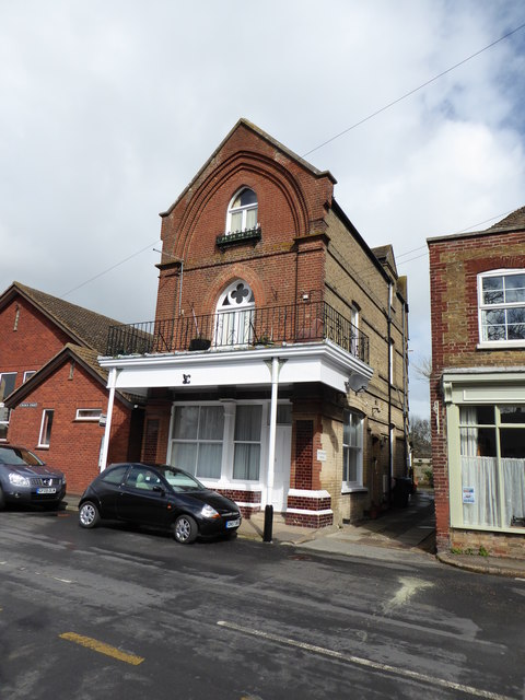
Boxlees Hill Images
Images are sourced within 2km of 51.319699/1.3125275 or Grid Reference TR3063. Thanks to Geograph Open Source API. All images are credited.
Boxlees Hill is located at Grid Ref: TR3063 (Lat: 51.319699, Lng: 1.3125275)
Administrative County: Kent
District: Thanet
Police Authority: Kent
What 3 Words
///boots.teaching.imprinted. Near Ash, Kent
Nearby Locations
Related Wikis

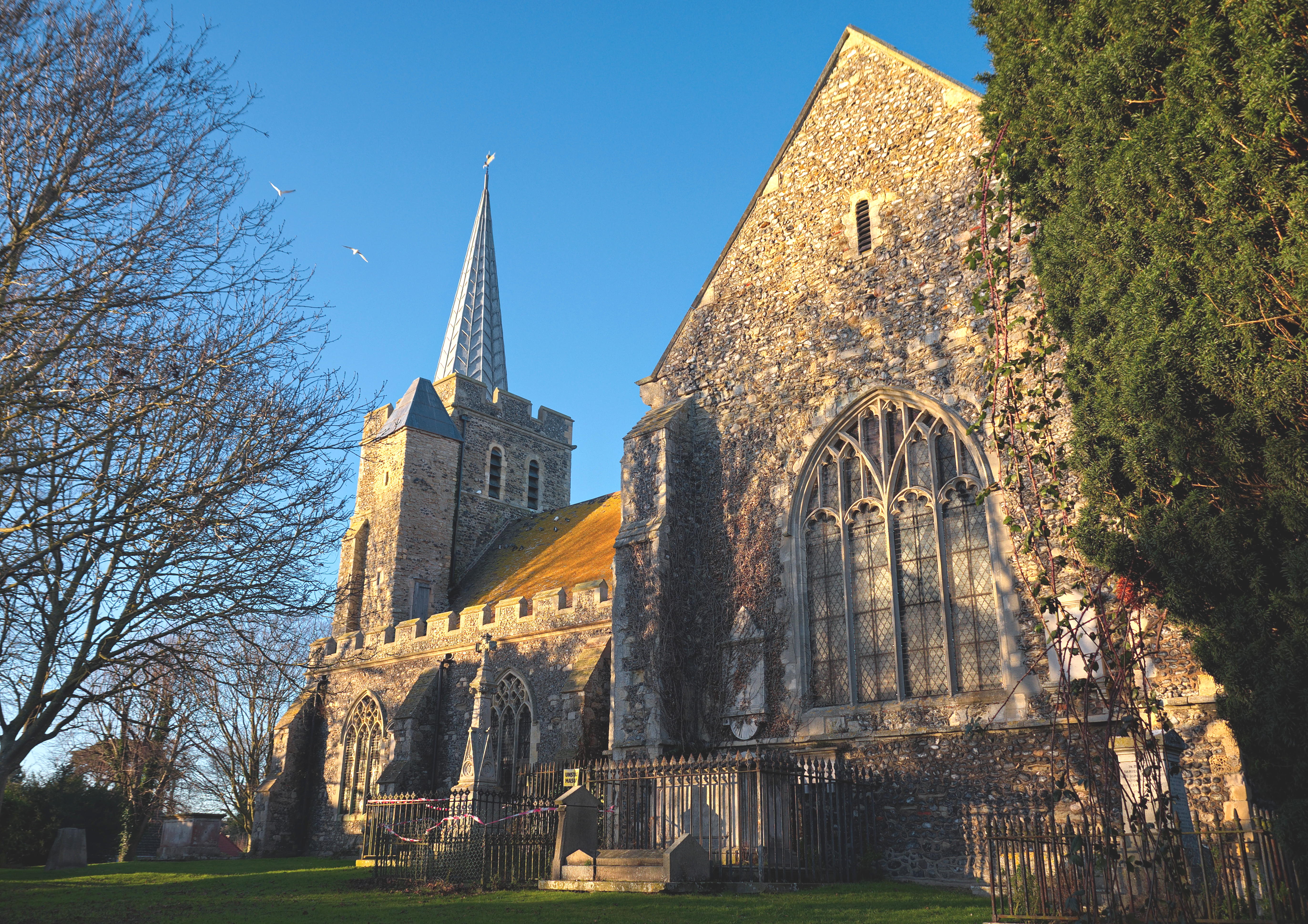
Minster railway station
Minster railway station serves the village of Minster in Kent and surrounding villages. It is next to a junction between Canterbury West, Ramsgate and...
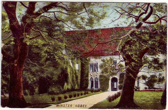
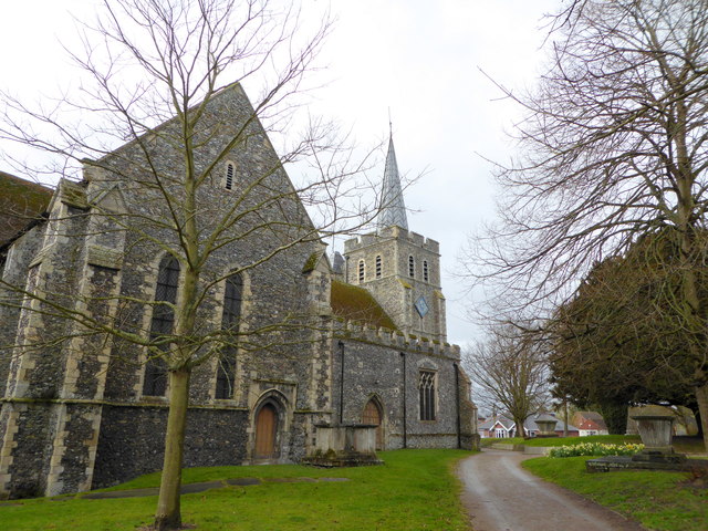
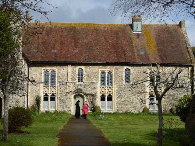
Minster in Thanet Priory
Minster Abbey is the name of two abbeys in Minster-in-Thanet, Kent, England. The first was a 7th-century foundation which lasted until the Dissolution...
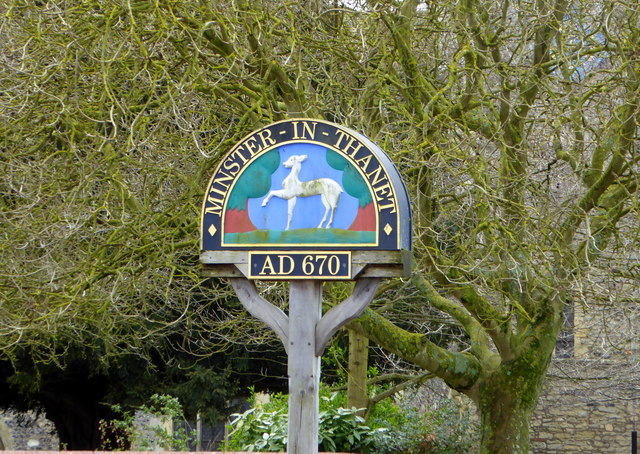
Minster-in-Thanet
Minster, also known as Minster-in-Thanet, is a village and civil parish in the Thanet District of Kent, England. It is the site of Minster in Thanet Priory...

Richborough Energy Park
Richborough Energy Park is a site of non-traditional power generation, on the site of the former Richborough power station close to the mouth of the River...
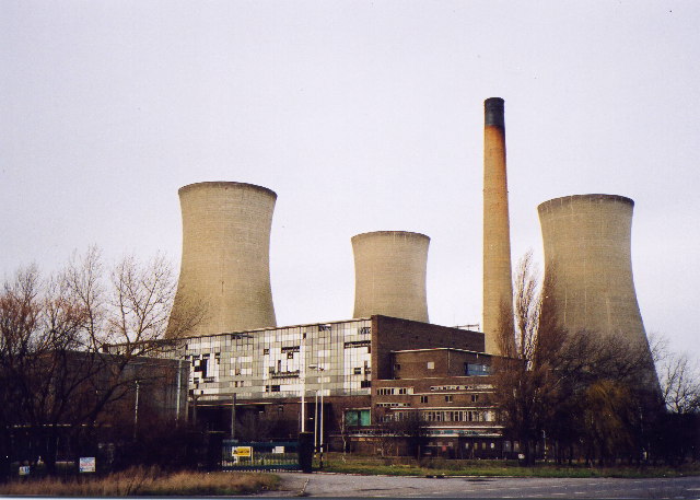
Richborough Power Station
Richborough power station was a 336 MW power station close to the mouth of the River Stour near Sandwich, on the east coast of Kent. It was built on land...

Richborough
Richborough () is a settlement north of Sandwich on the east coast of the county of Kent, England. Richborough lies close to the Isle of Thanet. The population...

Sevenscore
Sevenscore is a hamlet on the B2048 secondary road about one mile (1.6 km) east of Minster-in-Thanet in Kent, England. It is in the civil parish of Minster...

Ebbsfleet, Thanet
Ebbsfleet is a hamlet near Ramsgate, Kent, at the head of Pegwell Bay. Historically it was a peninsula on the southern coast of the Isle of Thanet, marking...
Nearby Amenities
Located within 500m of 51.319699,1.3125275Have you been to Boxlees Hill?
Leave your review of Boxlees Hill below (or comments, questions and feedback).