Gallows Hill
Hill, Mountain in Suffolk East Suffolk
England
Gallows Hill
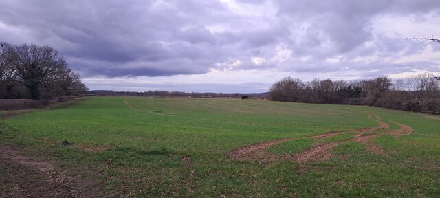
Gallows Hill is a small hill located in Suffolk, England. Situated in the southeastern part of the county, it is known for its historical significance and picturesque surroundings. While not particularly tall or imposing, Gallows Hill offers visitors stunning views of the surrounding countryside, making it a popular spot for hikers and nature enthusiasts.
The name "Gallows Hill" alludes to its dark past as a site of public execution during the medieval period. It is believed that criminals were hanged at this location as a deterrent to potential wrongdoers. However, there is limited historical documentation about specific events that took place on this hill.
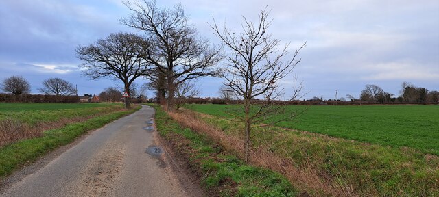
Today, Gallows Hill serves as a serene recreational area, attracting locals and tourists alike. Visitors can take advantage of the well-maintained pathways that lead to the summit, where they can enjoy panoramic views of the rolling hills and fertile farmland that characterizes Suffolk's landscape.
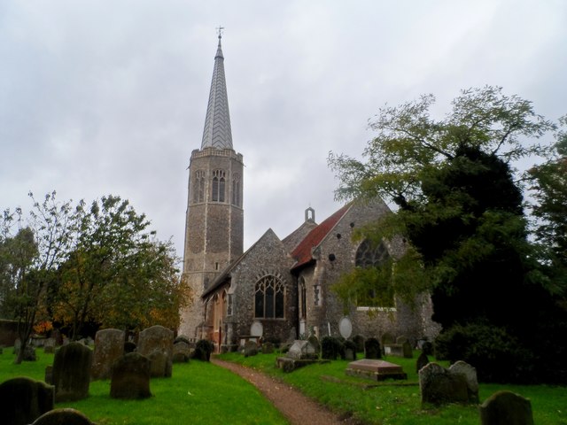
In addition to its natural beauty, Gallows Hill is surrounded by quaint villages and historic sites. Nearby attractions include ancient churches, charming pubs, and traditional thatched cottages, providing visitors with a glimpse into the region's rich cultural heritage.
Overall, Gallows Hill offers a peaceful escape from the hustle and bustle of urban life, allowing visitors to immerse themselves in Suffolk's natural beauty while also reflecting on its historical significance. Whether it be for a leisurely hike or a moment of quiet contemplation, Gallows Hill is a destination that offers a unique blend of nature and history.
If you have any feedback on the listing, please let us know in the comments section below.
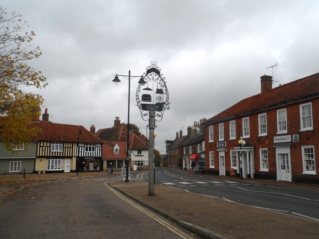
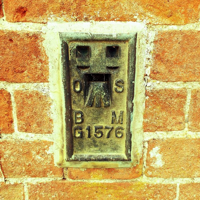
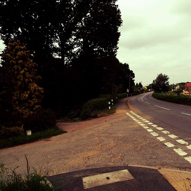
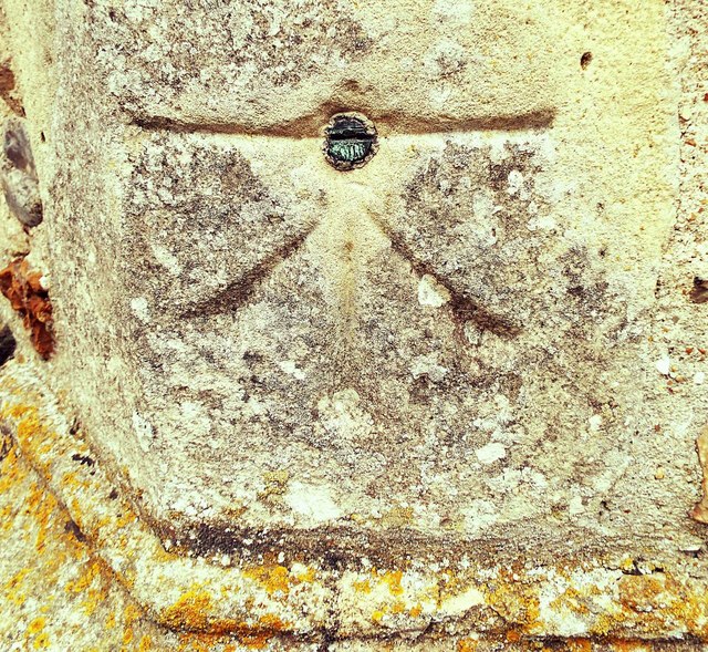
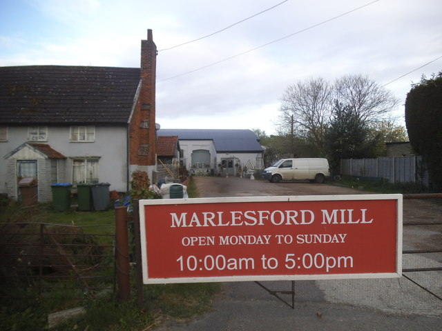
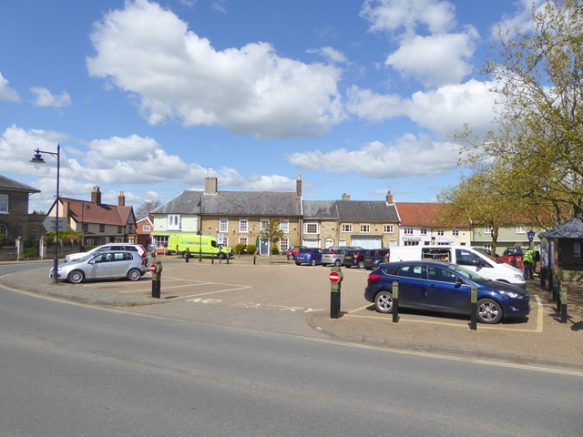
Gallows Hill Images
Images are sourced within 2km of 52.162657/1.3736305 or Grid Reference TM3056. Thanks to Geograph Open Source API. All images are credited.


Gallows Hill is located at Grid Ref: TM3056 (Lat: 52.162657, Lng: 1.3736305)
Administrative County: Suffolk
District: East Suffolk
Police Authority: Suffolk
What 3 Words
///actors.speedily.busy. Near Wickham Market, Suffolk
Nearby Locations
Related Wikis

Deben Mill
Deben Mill is a water mill on the River Deben located on the boundary between the civil parishes of Wickham Market and Hacheston, in Suffolk, England....
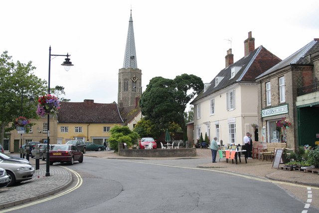
Wickham Market
Wickham Market is a large village and electoral ward in the River Deben valley, Suffolk, England, within the Suffolk Coastal heritage area. It is on the...

Wickham Market Hoard
The Wickham Market Hoard is a hoard of 840 Iron Age gold staters found in a field at Dallinghoo near Wickham Market, Suffolk, England in March 2008 by...
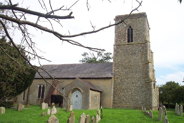
Marlesford
Marlesford is a village and civil parish in the East Suffolk district of Suffolk, England. The population of the civil parish at the 2011 Census was 233...
Marlesford railway station
Marlesford railway station was a station located in Marlesford, Suffolk. It closed in 1952.The station was served by trains that operated between Framlingham...

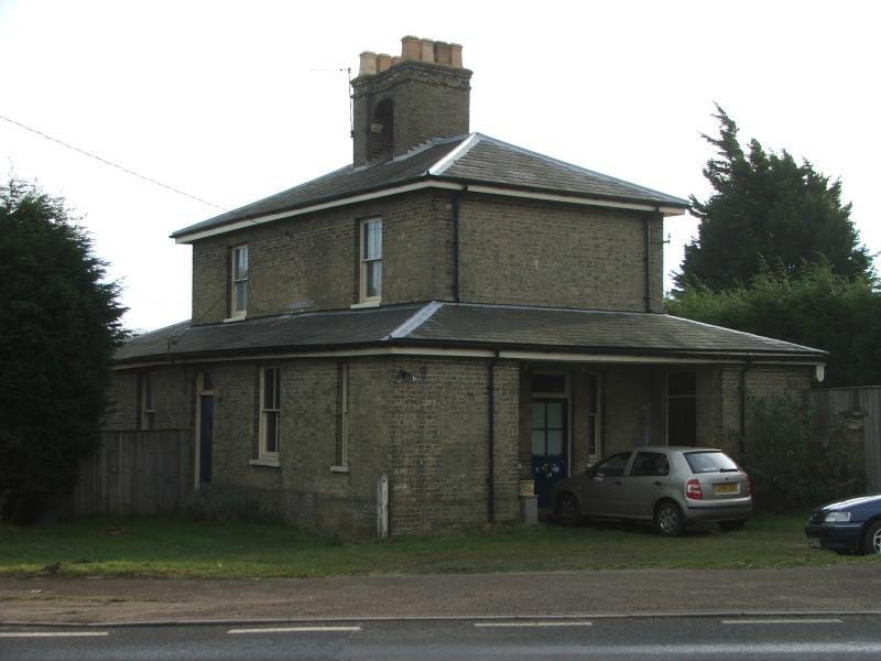
Wickham Market railway station
Wickham Market railway station is on the East Suffolk Line in the east of England, located in Campsea Ashe, Suffolk, approximately 2 miles (3.2 km) east...
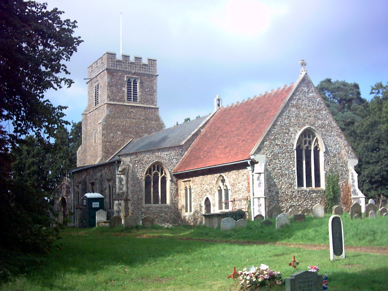
Hacheston
Hacheston is a village and a civil parish in the East Suffolk district, in the English county of Suffolk. The population of the parish at the 2011 census...

Hacheston Halt railway station
Hacheston Halt railway station was a station located in Hacheston, Suffolk situated on the Framlingham Branch.The branch was opened in 1859, but Hacheston...
Nearby Amenities
Located within 500m of 52.162657,1.3736305Have you been to Gallows Hill?
Leave your review of Gallows Hill below (or comments, questions and feedback).