Beacon Hill
Hill, Mountain in Kent Dover
England
Beacon Hill

Beacon Hill, located in Kent, England, is a prominent hill and popular recreational area in the county. With an elevation of 245 meters (804 feet), it stands as one of the highest points in the region, offering breathtaking panoramic views of the surrounding countryside.
Situated near the village of Knockholt, Beacon Hill is part of the North Downs, a range of chalk hills stretching across southeast England. The hill's name derives from its historical use as a beacon site, where fires were lit to warn of potential invasions or other dangers. Today, it serves as an area of natural beauty and a designated Site of Special Scientific Interest (SSSI) due to its diverse flora and fauna.
The hill is known for its picturesque walking trails and is a popular destination for hikers and nature enthusiasts. The Beacon Hill Circular Walk, a well-marked path, takes visitors through ancient woodlands, wildflower meadows, and grassy slopes. The route also passes through the historic village of Chevening, with its charming cottages and 17th-century church.
In addition to its natural beauty, Beacon Hill boasts a rich cultural heritage. The remains of a Roman villa were discovered on the hill, indicating human settlement in the area dating back to ancient times. Furthermore, the hill was used as a signaling station during World War II, playing a crucial role in communication between London and the coast.
Overall, Beacon Hill in Kent offers a unique blend of natural beauty, historical significance, and recreational opportunities, making it a cherished destination for both locals and visitors alike.
If you have any feedback on the listing, please let us know in the comments section below.
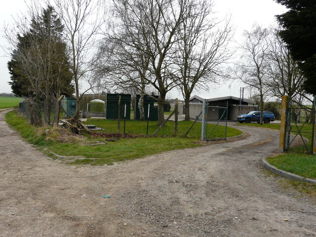
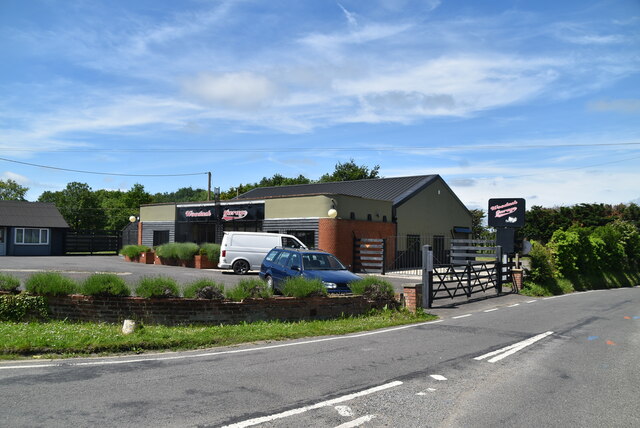
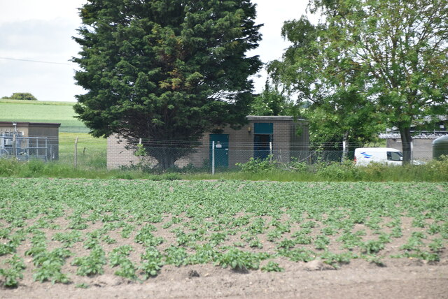
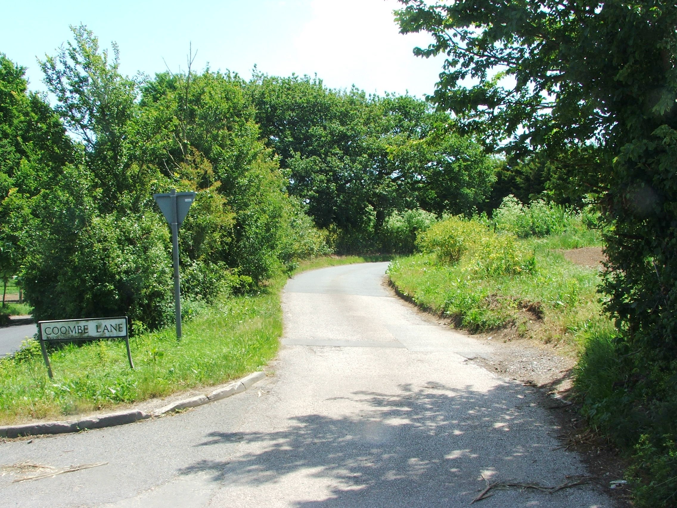
Beacon Hill Images
Images are sourced within 2km of 51.266966/1.2995978 or Grid Reference TR3057. Thanks to Geograph Open Source API. All images are credited.


Beacon Hill is located at Grid Ref: TR3057 (Lat: 51.266966, Lng: 1.2995978)
Administrative County: Kent
District: Dover
Police Authority: Kent
What 3 Words
///clinking.pumpkin.afternoon. Near Ash, Kent
Nearby Locations
Related Wikis

Eastry Rural District
Eastry Rural District was a rural district in the county of Kent, England, from 1894 to 1974. It was subject to a significant boundary reform in 1935 when...
Marshborough
Marshborough is a small hamlet immediately adjacent to Woodnesborough in East Kent, England. == Listed buildings == === Parsonage Farm === The farmhouse...

RAF Ash
Royal Air Force Ash or more simply RAF Ash (formerly RAF Sandwich) was a Royal Air Force underground control centre and radar station situated near the...
Coombe, Kent
Coombe is a settlement in the English county of Kent. It lies between Ash-next-Sandwich and Woodnesborough. According to Edward Hasted in 1800, it was...

Ringlemere barrow
The Ringlemere barrow is an archaeological site near Sandwich in the English county of Kent most famous as being the find site of the Ringlemere gold cup...

Woodnesborough
Woodnesborough ( WINZ-brə) is a village in the Dover District of Kent, England, 2 miles (3.2 km) west of Sandwich. The population taken at the 2011 census...
Woodnesborough railway station
Woodnesborough railway station was a railway station on the East Kent Light Railway. It opened on 16 October 1916 and closed to passenger traffic after...

Ringlemere Cup
The Ringlemere Gold Cup is a Bronze Age vessel found in the Ringlemere barrow near Sandwich in the English county of Kent in 2001. == Description == The...
Nearby Amenities
Located within 500m of 51.266966,1.2995978Have you been to Beacon Hill?
Leave your review of Beacon Hill below (or comments, questions and feedback).