Abbot's Wall

Heritage Site in Kent Thanet

England

Abbot's Wall

Farmland, Sherrifs Court
Farmland, Sherrifs Court Credit: N Chadwick

Abbot's Wall, located in Kent, England, is an ancient heritage site that holds great historical significance. The wall stretches for approximately one mile and is believed to have been constructed during the Roman occupation of Britain, making it over 1,800 years old.

Built using a technique known as opus vittatum, the wall consists of layers of flint and mortar, showcasing the architectural skills of the Roman engineers. Although the wall has suffered some damage over the centuries, it still stands as a testament to the engineering prowess of the time.

Abbot's Wall served as a defensive structure, protecting the nearby Roman settlement from potential invaders. It was strategically positioned on a hill, offering a commanding view of the surrounding landscape. The wall features several towers along its length, providing additional vantage points and reinforcing its defensive capabilities.

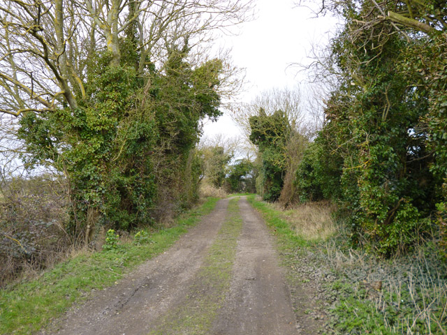
Today, Abbot's Wall remains an impressive archaeological site and attracts visitors from around the world who have an interest in Roman history. The wall is surrounded by picturesque countryside, offering visitors a chance to immerse themselves in the beauty of the Kentish landscape.

Archaeological excavations have been conducted in the area, unearthing various Roman artifacts and providing valuable insights into the daily lives of the Romans who once inhabited the region. These findings have helped historians and archaeologists piece together a clearer picture of Roman Britain.

Abbot's Wall stands as a tangible reminder of the Roman occupation and the lasting impact they had on the region. As a protected heritage site, it serves as an important educational and recreational resource, preserving the rich history of Kent for future generations to appreciate and learn from.

If you have any feedback on the listing, please let us know in the comments section below.
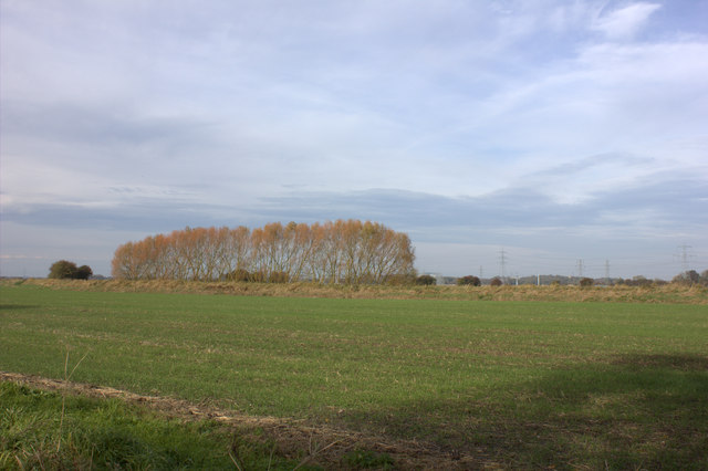
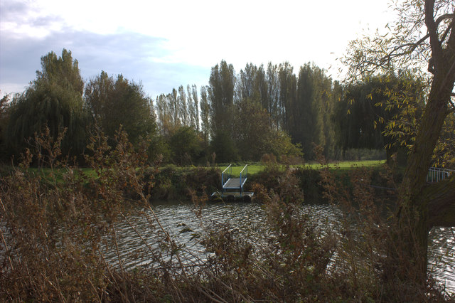
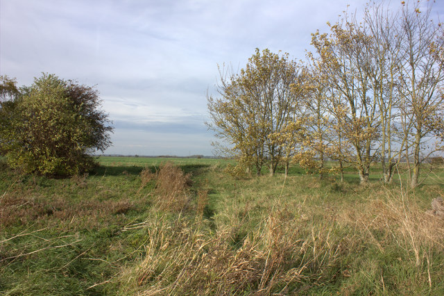
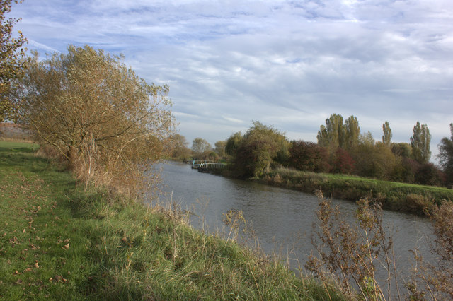
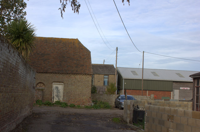
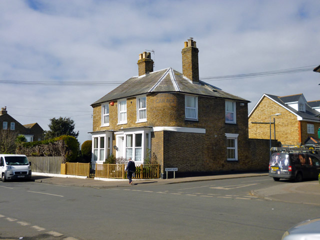
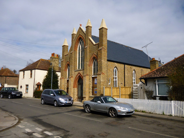
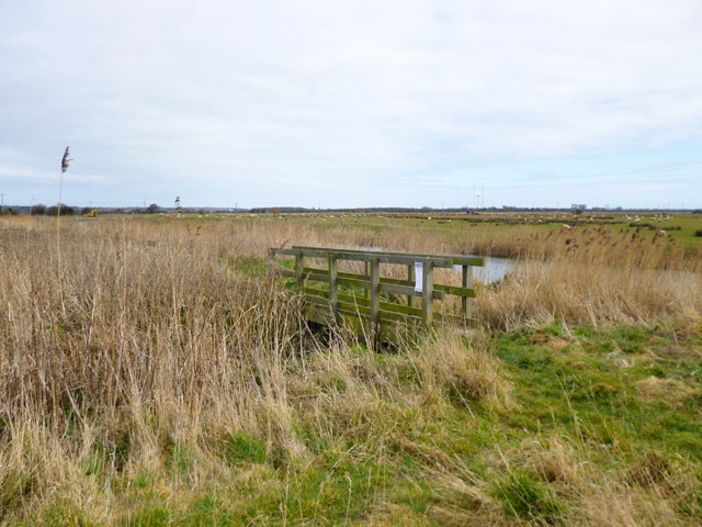
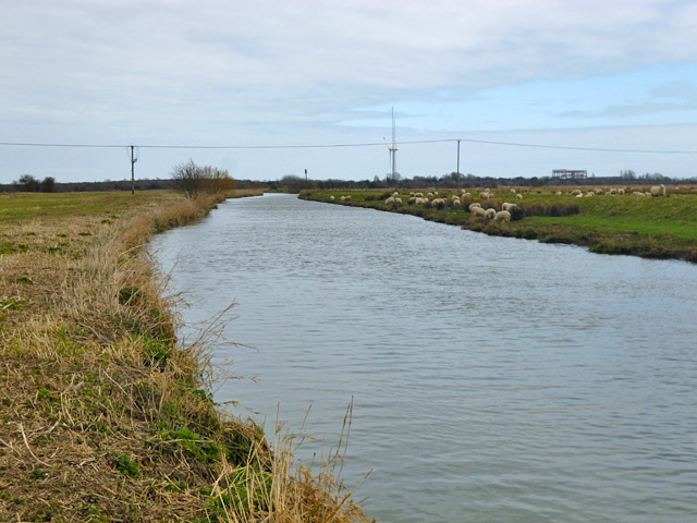
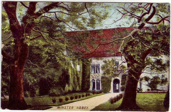
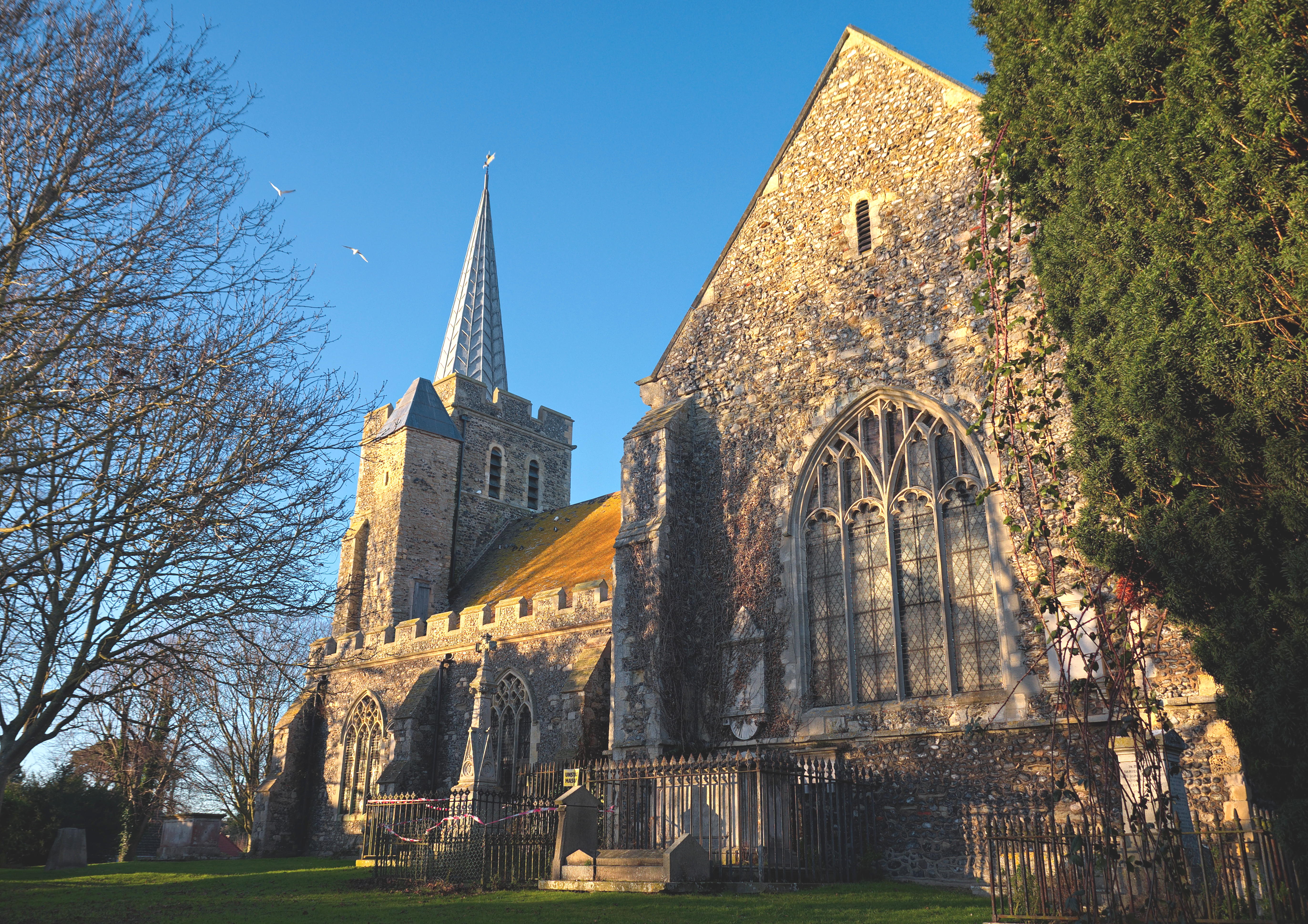
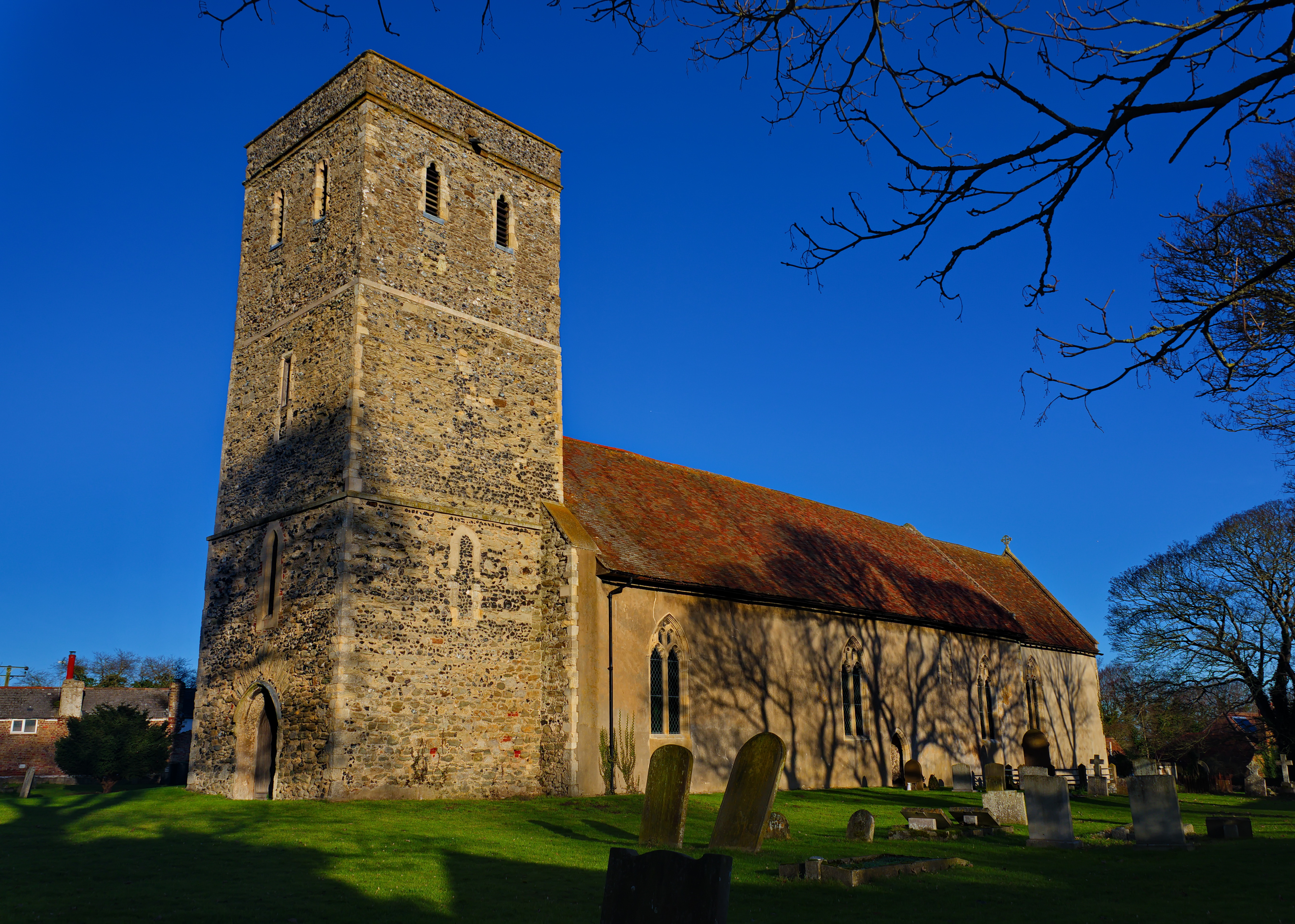
Abbot's Wall Images

Images are sourced within 2km of 51.323/1.308 or Grid Reference TR3063. Thanks to Geograph Open Source API. All images are credited.

Farmland, Sherrifs Court
Hoo Corner Farm On the road from Monkton to Minster.
Hoo Corner Farm
On the road from Monkton to Minster.
Field by Monkton Road
View across River Stour from the north bank The gate is on the Saxon Shore way
View across River Stour from the north bank
The gate is on the Saxon Shore way
Cattle on the south bank of the River Stour
Footpath junction near Abbots Wall The footpath on the north bank of the River Stour
Footpath junction near Abbots Wall
The footpath on the north bank of the River Stour
Footbridge over a drainage channel, near Abbots Wall North bank of the River Stour, looking eastwards.
Footbridge over a drainage channel, near Abbots Wall
North bank of the River Stour, looking eastwards.
Landing stage on the River Stour
Abbotts Wall earthworks from River Stour path
River Stour landing stage
Path towards Docker Hill
River Stour looking eastwards
Hoo Farm
Hoo Farm
House with a former use, Minster On the curved corner is painted what looks like 'Restaurant Garage', a curious combination.
House with a former use, Minster
On the curved corner is painted what looks like 'Restaurant Garage', a curious combination.
Former Primitive Methodist Chapel, Minster This has not been a chapel for a long time. It is being renovated or converted at the moment, with sounds of sawing coming from inside. It must have been something else in the meantime.
Former Primitive Methodist Chapel, Minster
This has not been a chapel for a long time. It is being renovated or converted at the moment, with sounds of sawing coming from inside. It must have been something else in the meantime.
Track up from River Stour towards Minster A restricted byway up as far as the end of Marsh Farm Road, which continues the route.
Track up from River Stour towards Minster
A restricted byway up as far as the end of Marsh Farm Road, which continues the route.
Footbridge by River Stour A footpath following the river bank crosses a ditch draining into the river on the right.
Footbridge by River Stour
A footpath following the river bank crosses a ditch draining into the river on the right.
River Stour Looking downstream, but it is tidal here and for a long way up, with not a great range.
River Stour
Looking downstream, but it is tidal here and for a long way up, with not a great range.
Show me another place!

Abbot's Wall is located at Grid Ref: TR3063 (Lat: 51.323, Lng: 1.308)

Administrative County: Kent

District: Thanet

Police Authority: Kent

What 3 Words

///processes.wink.minute. Near Ash, Kent

Nearby Locations

Abbot's Wall Boxlees Hill

Related Wikis

Nearby Amenities

Located within 500m of 51.323,1.308
Design: barrel
Power: tower
Lat/Long: 51.3191984/1.3050546
Source: survey
Lat/Long: 51.3192465/1.3101944
Power: pole
Lat/Long: 51.3204008/1.3136628
LH FID 50
Power: tower
Lat/Long: 51.3201788/1.3046193
LH FID 51
Power: tower
Lat/Long: 51.3186437/1.3087394
The data included in this document is from www.openstreetmap.org. The data is made available under ODbL.

Have you been to Abbot's Wall?

Leave your review of Abbot's Wall below (or comments, questions and feedback).