Cantley Hill

Hill, Mountain in Norfolk South Norfolk

England

Cantley Hill

Stoke Road bridge over the River Tas, Norwich
Stoke Road bridge over the River Tas, Norwich Credit: Roy Hughes

Cantley Hill, located in the county of Norfolk, England, is a prominent geographical feature in the region. While referred to as a hill, Cantley Hill does not possess the same grandeur or elevation typically associated with mountains. Nevertheless, it stands as a significant landmark in the area.

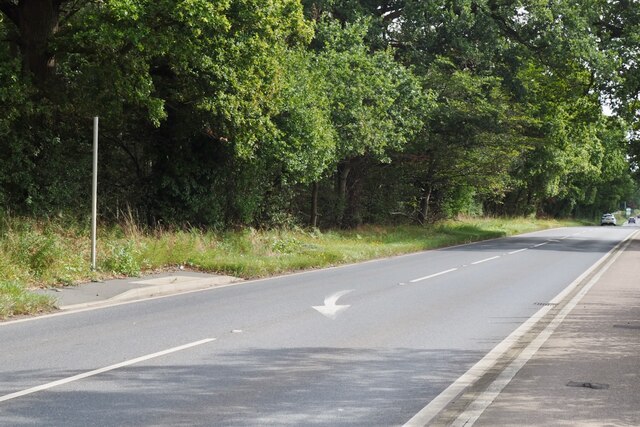
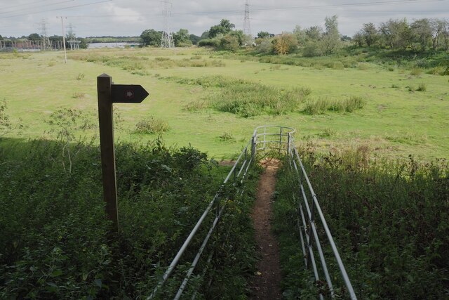
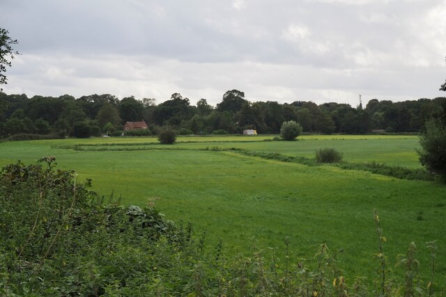
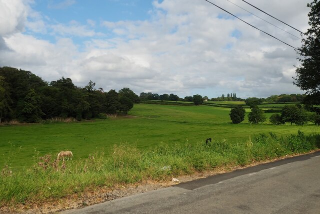
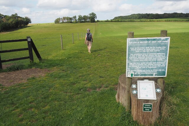
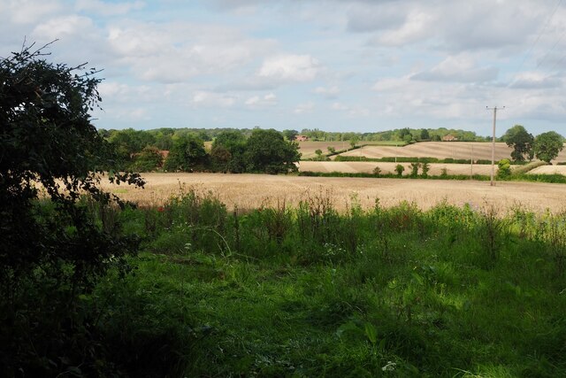
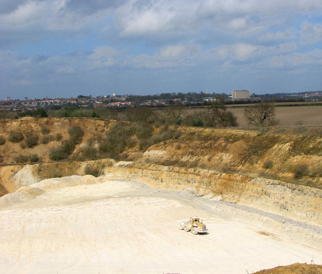
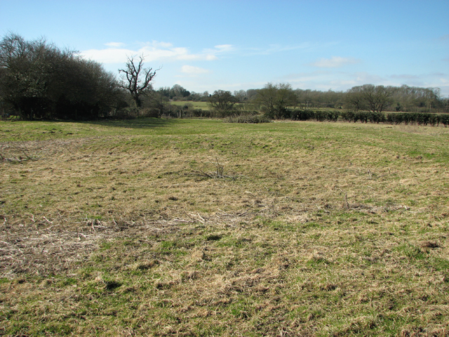
Situated near the village of Cantley, the hill is primarily composed of chalk and rises to an approximate height of 30 meters. Its gentle slope and rounded shape make it an easily recognizable feature in the otherwise flat landscape of Norfolk. The hill offers visitors and locals alike a vantage point to appreciate the surrounding countryside, with picturesque views extending across the region.

Cantley Hill also holds historical significance. In the past, it served as a strategic defensive position during the Viking Age, with evidence of defensive earthworks found on its slopes. Additionally, the hill has been utilized for agricultural purposes, particularly grazing livestock, which contributes to the maintenance of its distinct appearance.

Nature enthusiasts are drawn to Cantley Hill due to its diverse flora and fauna. The hill is home to various plant species, including wildflowers and grasses, which create a vibrant display during the summer months. Birdwatchers can also enjoy spotting a range of avian species that frequent the area.

Overall, while Cantley Hill may not reach the lofty heights of a mountain, its geological, historical, and ecological significance make it a noteworthy feature of the Norfolk landscape.

If you have any feedback on the listing, please let us know in the comments section below.
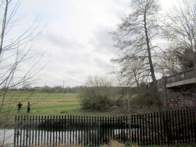
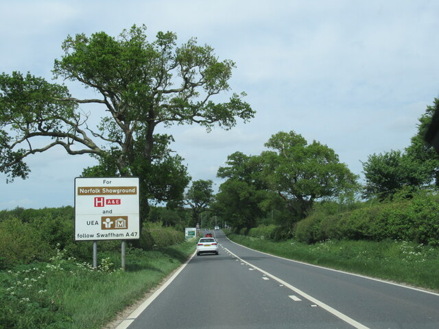
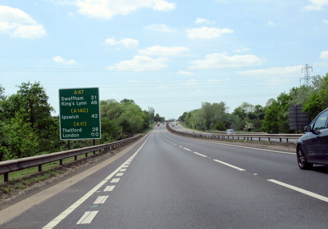
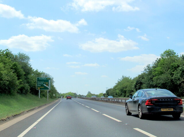
Cantley Hill Images

Images are sourced within 2km of 52.588831/1.3061322 or Grid Reference TG2404. Thanks to Geograph Open Source API. All images are credited.

Stoke Road bridge over the River Tas, Norwich
Eaton, Neatmarket, Hall Road: Car park serving B and Q and other outlets
The B1332 with information sign
The A47 west, 31 miles to Swaffham
The A47 west approaching junction with A140
It is an ex-bus stop On the B1332, Bungay Road.
It is an ex-bus stop
On the B1332, Bungay Road.
The A47 Looking south west from Stoke Road.
The A47
Looking south west from Stoke Road.
The A47 Looking north east from Stoke Road.
The A47
Looking north east from Stoke Road.
Stoke Road bridge over the River Tas and railway Why cross one obstacle when you can cross two!
Stoke Road bridge over the River Tas and railway
Why cross one obstacle when you can cross two!
Fenced path to a kissing gate Very strange arrangement on the Boudicca Way. Leading north east from Stoke Road.
Fenced path to a kissing gate
Very strange arrangement on the Boudicca Way. Leading north east from Stoke Road.
A small tributary of the River Tas Meanders across a field.
A small tributary of the River Tas
Meanders across a field.
Road junction at Caistor St Edmund With a rather dull village sign see <a href="https://www.geograph.org.uk/photo/6797396">TG2303 : Caistor St Edmund village sign</a>
Road junction at Caistor St Edmund
With a rather dull village sign see TG2303 : Caistor St Edmund village sign
Horse in a field by Broken Back Plantation
Former wildflower field It appears that with the loss of EU funding the field has reverted to a grass monoculture.  The farm still maintains the concessionary walks and as of posting their website is still live <span class="nowrap"><a title="https://www.highashfarm.com/_files/ugd/fff082_d6472f8475a545759d5d20b6c1ecc567.pdf" rel="nofollow ugc noopener" href="https://www.highashfarm.com/_files/ugd/fff082_d6472f8475a545759d5d20b6c1ecc567.pdf">Link</a><img style="margin-left:2px;" alt="External link" title="External link - shift click to open in new window" src="https://s1.geograph.org.uk/img/external.png" width="10" height="10"/></span>
Former wildflower field
It appears that with the loss of EU funding the field has reverted to a grass monoculture. The farm still maintains the concessionary walks and as of posting their website is still live LinkExternal link
Field at Valley Farm With a view over to some houses on Caistor Lane.
Field at Valley Farm
With a view over to some houses on Caistor Lane.
Chandler Road Looking more like a lane.
Chandler Road
Looking more like a lane.
Concessionary path next to Wash Lane Part of a network of paths around High Ash Farm <span class="nowrap"><a title="https://www.highashfarm.com/_files/ugd/fff082_d6472f8475a545759d5d20b6c1ecc567.pdf" rel="nofollow ugc noopener" href="https://www.highashfarm.com/_files/ugd/fff082_d6472f8475a545759d5d20b6c1ecc567.pdf">Link</a><img style="margin-left:2px;" alt="External link" title="External link - shift click to open in new window" src="https://s1.geograph.org.uk/img/external.png" width="10" height="10"/></span>.
Concessionary path next to Wash Lane
Part of a network of paths around High Ash Farm LinkExternal link.
Abandoned farm machinery Beside a footpath near Caistor St Edmund.
Abandoned farm machinery
Beside a footpath near Caistor St Edmund.
Show me another place!

Cantley Hill is located at Grid Ref: TG2404 (Lat: 52.588831, Lng: 1.3061322)

Administrative County: Norfolk

District: South Norfolk

Police Authority: Norfolk

What 3 Words

///senior.arrow.path. Near Poringland, Norfolk

Related Wikis

Caistor St Edmund

Caistor St Edmund is a village and former civil parish on the River Tas, now in the parish of Caistor St Edmund and Bixley, in the South Norfolk district...

Caistor St Edmund Chalk Pit

Caistor St Edmund Chalk Pit is a 23.6-hectare (58-acre) geological Site of Special Scientific Interest south of Norwich in Norfolk. It is a Geological...

Arminghall

Arminghall is a village and former civil parish, now in the parish of Caistor St Edmund and Bixley, in the South Norfolk district, in the county of Norfolk...

Venta Icenorum

Venta Icenorum (Classical Latin: [ˈwɛnta ɪkeːˈnoːrũː], literally "marketplace of the Iceni") was the civitas or capital of the Iceni tribe, located at...

Bixley medieval settlement

Bixley medieval settlement is a deserted medieval village in Norfolk, England, about 2 miles (3.2 km) south-east of Norwich. It is a Scheduled Monument...

University Technical College Norfolk

University Technical College Norfolk is a University Technical College in Old Hall Road, Norwich, with a focus on the engineering and health sectors.It...

Dunston Common

Dunston Common is a 3.8-hectare (9.4-acre) Local Nature Reserve south of Norwich in Norfolk. It is owned and managed by South Norfolk District Council...

River Tas

The River Tas is a river which flows northwards through South Norfolk in England - towards Norwich. The area is named the Tas Valley after the river. The...

Nearby Amenities

Located within 500m of 52.588831,1.3061322
Bus Stop
Markshall Lane, N-bound
Naptan AtcoCode: 2900C031
Naptan Bearing: N
Naptan CommonName: Markshall Lane
Naptan Indicator: N-bound
Naptan Landmark: crossroads
Naptan Locality: Caistor St Edmund
Naptan NaptanCode: nfoajawg
Naptan PlusbusZoneRef: NRCH
Naptan Street: Stoke Road
Naptan Verified: no
Source: naptan_import
Lat/Long: 52.5875894/1.2996165
Bus Stop
Markshall Lane, S-bound
Naptan AtcoCode: 2900C032
Naptan Bearing: S
Naptan CommonName: Markshall Lane
Naptan Indicator: S-bound
Naptan Landmark: crossroads
Naptan Locality: Caistor St Edmund
Naptan NaptanCode: nfoajawj
Naptan PlusbusZoneRef: NRCH
Naptan Street: Stoke Road
Naptan Verified: no
Shelter: no
Source: naptan_import
Lat/Long: 52.5876386/1.2998308
Turning Circle
Lat/Long: 52.5868119/1.3036455
Caistor St Edmund
Alt Name: Caistor St Edmunds
Old Name: Castor
Place: village
Postal Code: NR14
Wikidata: Q1800154
Wikipedia: en:Caistor St Edmund
Lat/Long: 52.5872052/1.299402
Cantley Hill
Natural: hill
Source: OS_OpenData_Streetview
Lat/Long: 52.5886301/1.3067206
Bench
Backrest: yes
Material: wood
Note: Carved from a tree log
Seats: 4
Lat/Long: 52.5877804/1.3121935
Bench
Backrest: yes
Material: wood
Seats: 1
Lat/Long: 52.5858257/1.309213
Bench
Backrest: yes
Colour: brown
Material: wood
Seats: 6
Lat/Long: 52.5874593/1.2996201
Give Way
Lat/Long: 52.5873747/1.2994564
Give Way
Lat/Long: 52.5874149/1.2993845
Caistor St+Edmunds
Alt Name: Caistor St Edmund
Inscription: Venta Icenorum
Man Made: village_sign
Material: wood
Lat/Long: 52.5873331/1.2996255
County Monument 244
Board Type: history
Description: Romano-Caltic temple excavated in 1957 West of here
Information: board
Tourism: information
Lat/Long: 52.5876623/1.3122214
Bench
Backrest: yes
Material: wood
Seats: 4
Lat/Long: 52.588785/1.3121648
Information: board
Operator: Caister St Edmund Parish Council
Tourism: information
Lat/Long: 52.5869079/1.2997501
Post Box
Collection Times: Mo-Fr 16:45; Sa 09:45
Post Box Mounting: pier
Post Box Type: lamp
Ref: NR14 1467
Royal Cypher: EIIR
Royal Cypher Wikidata: Q33102113
Lat/Long: 52.5869313/1.2997572
Give Way
Lat/Long: 52.5862367/1.3001941
Hiking: yes
Information: guidepost
Tourism: information
Lat/Long: 52.5908322/1.3121242
Power: pole
Lat/Long: 52.5896197/1.302561
Man Made: utility_pole
Lat/Long: 52.5879977/1.300195
Power: pole
Lat/Long: 52.5875593/1.2995608
The data included in this document is from www.openstreetmap.org. The data is made available under ODbL.

Have you been to Cantley Hill?

Leave your review of Cantley Hill below (or comments, questions and feedback).