Broken Back Plantation
Wood, Forest in Norfolk South Norfolk
England
Broken Back Plantation
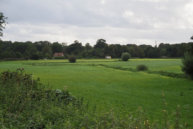
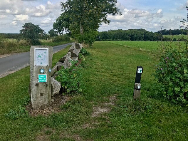
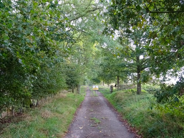
Broken Back Plantation is a picturesque woodland located in Norfolk, England. Spanning over a vast area, this plantation is known for its dense and diverse forest that offers a tranquil and serene environment for visitors to explore and enjoy.
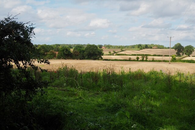
The woodland is dominated by a variety of tree species, including oak, beech, and pine, creating a stunning display of colors throughout the year. The plantation's name, "Broken Back," is derived from the undulating terrain that gives the area a unique and distinctive appearance.
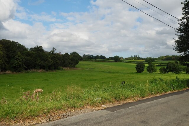
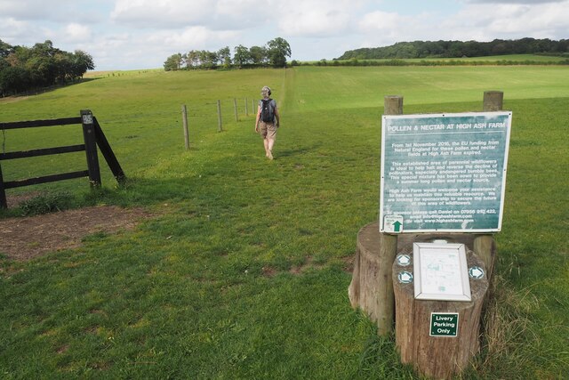
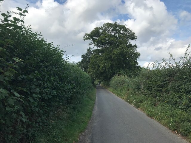
Walking trails wind their way through the plantation, providing visitors with the opportunity to discover the natural beauty and wildlife that inhabit the area. The paths lead to hidden clearings, where visitors can rest and take in the sights and sounds of the forest. The plantation is also home to a diverse range of animal species, such as deer, rabbits, and a variety of bird species, making it a popular destination for nature enthusiasts and wildlife photographers.
Throughout the year, Broken Back Plantation hosts various events and activities, including guided nature walks, bird-watching tours, and educational programs for children. These activities aim to promote conservation and raise awareness about the importance of preserving such natural habitats.
Whether it's a leisurely stroll through the woodland, an opportunity to connect with nature, or an educational experience for the whole family, Broken Back Plantation offers a truly enriching and captivating experience for all who visit.
If you have any feedback on the listing, please let us know in the comments section below.
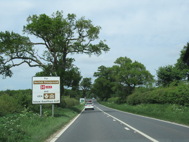
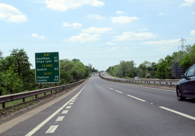
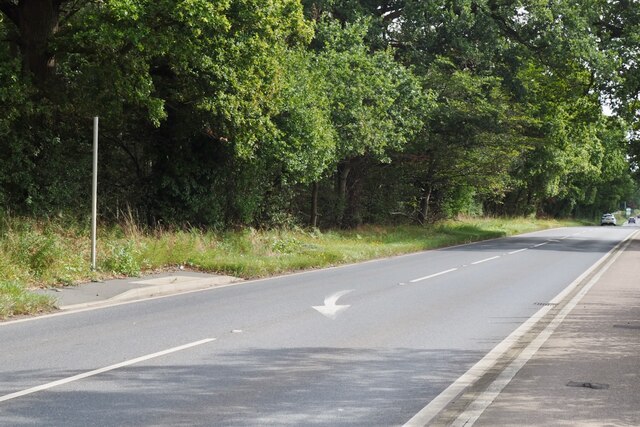
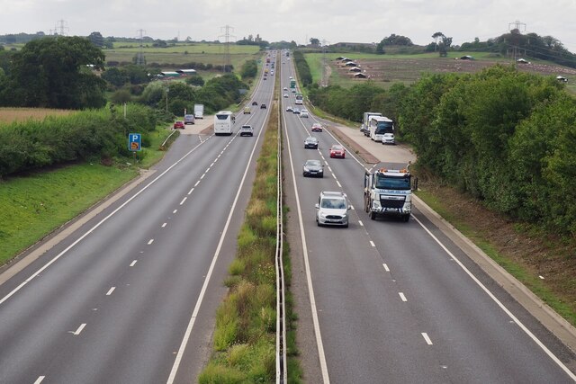
Broken Back Plantation Images
Images are sourced within 2km of 52.587537/1.3092982 or Grid Reference TG2404. Thanks to Geograph Open Source API. All images are credited.


Broken Back Plantation is located at Grid Ref: TG2404 (Lat: 52.587537, Lng: 1.3092982)
Administrative County: Norfolk
District: South Norfolk
Police Authority: Norfolk
What 3 Words
///thick.yards.copy. Near Poringland, Norfolk
Nearby Locations
Related Wikis

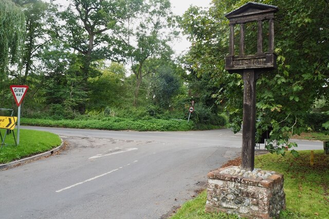
Caistor St Edmund
Caistor St Edmund is a village and former civil parish on the River Tas, now in the parish of Caistor St Edmund and Bixley, in the South Norfolk district...
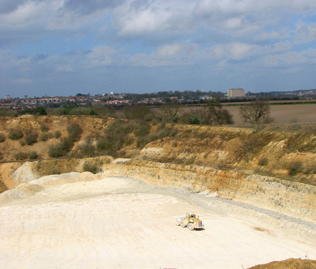
Caistor St Edmund Chalk Pit
Caistor St Edmund Chalk Pit is a 23.6-hectare (58-acre) geological Site of Special Scientific Interest south of Norwich in Norfolk. It is a Geological...

Arminghall
Arminghall is a village and former civil parish, now in the parish of Caistor St Edmund and Bixley, in the South Norfolk district, in the county of Norfolk...

Venta Icenorum
Venta Icenorum (Classical Latin: [ˈwɛnta ɪkeːˈnoːrũː], literally "marketplace of the Iceni") was the civitas or capital of the Iceni tribe, located at...
Nearby Amenities
Located within 500m of 52.587537,1.3092982Have you been to Broken Back Plantation?
Leave your review of Broken Back Plantation below (or comments, questions and feedback).