Arminghall Wood

Wood, Forest in Norfolk South Norfolk

England

Arminghall Wood

Stoke Road bridge over the River Tas, Norwich
Stoke Road bridge over the River Tas, Norwich Credit: Roy Hughes

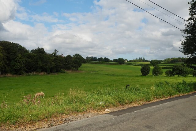
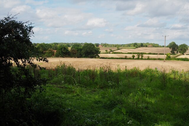
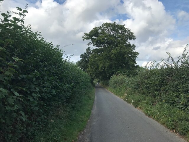
Arminghall Wood is a picturesque woodland located in Norfolk, England. Spanning an area of approximately 40 acres, it is nestled within the gently rolling countryside of the county. The wood is situated near the village of Arminghall, about 5 miles southeast of the city of Norwich.

This woodland is known for its lush greenery, diverse flora, and tranquil atmosphere. The majority of the wood consists of mature broadleaf trees such as oak, beech, and ash, which provide a dense canopy that filters sunlight and creates a cool and peaceful ambiance. The forest floor is covered with a rich carpet of bluebells, wild garlic, and ferns during the spring and summer months, adding vibrant colors to the landscape.

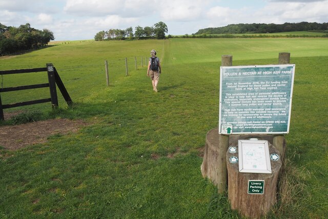
Arminghall Wood is a popular destination for nature enthusiasts, walkers, and birdwatchers. The well-maintained footpaths meander through the woodland, allowing visitors to explore its beauty at their own pace. The area is home to various species of birds, including woodpeckers, nuthatches, and tawny owls, making it an ideal spot for birdwatching. Additionally, small mammals like foxes, badgers, and squirrels can also be spotted within the wood.

The wood has historical significance as well, with remnants of ancient earthworks and ditches dating back to the Iron Age still visible in some areas. These archaeological features add an intriguing touch to the natural beauty of the woodland.

Overall, Arminghall Wood offers a peaceful retreat from the hustle and bustle of daily life, providing visitors with a chance to immerse themselves in the tranquility of nature and discover the rich biodiversity that thrives within its boundaries.

If you have any feedback on the listing, please let us know in the comments section below.

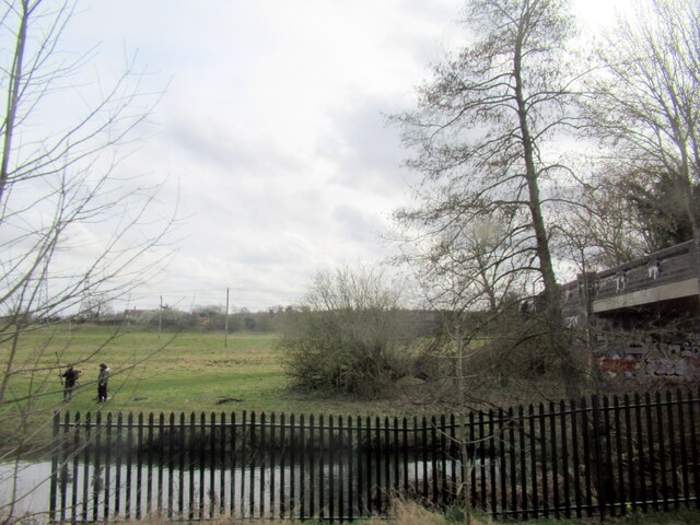
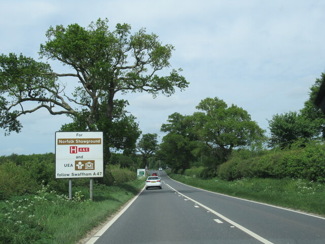
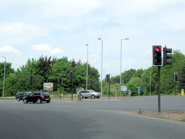
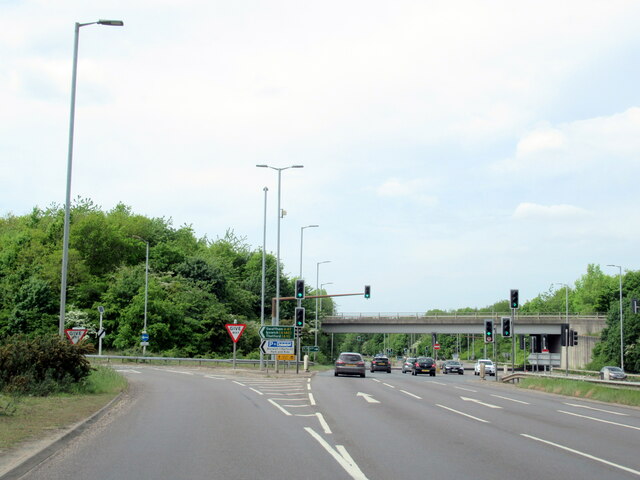
Arminghall Wood Images

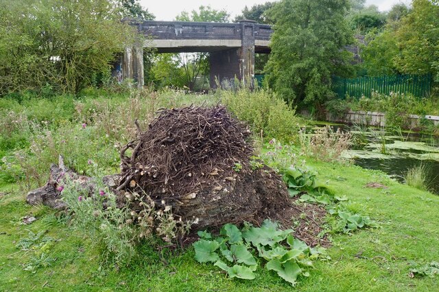
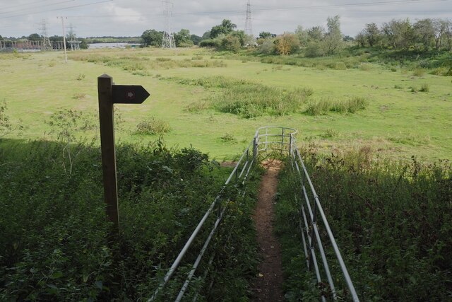
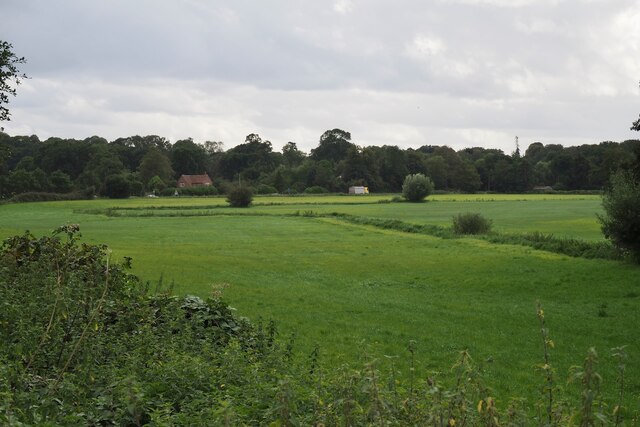
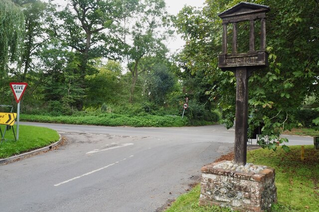
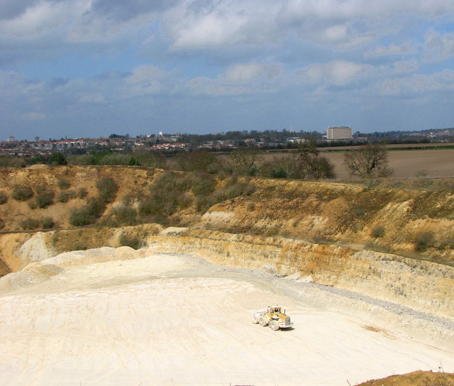
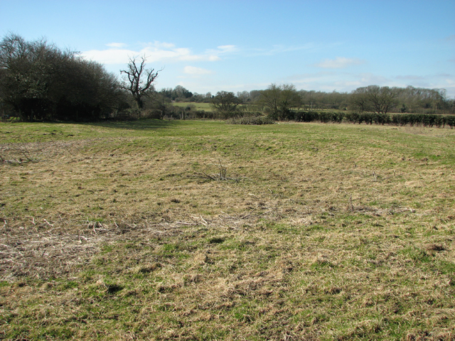
Images are sourced within 2km of 52.592159/1.3173557 or Grid Reference TG2404. Thanks to Geograph Open Source API. All images are credited.

Stoke Road bridge over the River Tas, Norwich
The B1332 with information sign
The B1332 junction with the A146 approaching Norwich
The A146 joining the A47 at Norwich
The A47 west, 31 miles to Swaffham
It is an ex-bus stop On the B1332, Bungay Road.
It is an ex-bus stop
On the B1332, Bungay Road.
The A47 Looking south west from Stoke Road.
The A47
Looking south west from Stoke Road.
The A47 Looking north east from Stoke Road.
The A47
Looking north east from Stoke Road.
Solar Farm South of Trowse Newton
Solar Farm
South of Trowse Newton
Substation and pylons
Stoke Road bridge over the River Tas and railway Why cross one obstacle when you can cross two!
Stoke Road bridge over the River Tas and railway
Why cross one obstacle when you can cross two!
Fenced path to a kissing gate Very strange arrangement on the Boudicca Way. Leading north east from Stoke Road.
Fenced path to a kissing gate
Very strange arrangement on the Boudicca Way. Leading north east from Stoke Road.
A small tributary of the River Tas Meanders across a field.
A small tributary of the River Tas
Meanders across a field.
Road junction at Caistor St Edmund With a rather dull village sign see <a href="https://www.geograph.org.uk/photo/6797396">TG2303 : Caistor St Edmund village sign</a>
Road junction at Caistor St Edmund
With a rather dull village sign see TG2303 : Caistor St Edmund village sign
Horse in a field by Broken Back Plantation
Former wildflower field It appears that with the loss of EU funding the field has reverted to a grass monoculture.  The farm still maintains the concessionary walks and as of posting their website is still live <span class="nowrap"><a title="https://www.highashfarm.com/_files/ugd/fff082_d6472f8475a545759d5d20b6c1ecc567.pdf" rel="nofollow ugc noopener" href="https://www.highashfarm.com/_files/ugd/fff082_d6472f8475a545759d5d20b6c1ecc567.pdf">Link</a><img style="margin-left:2px;" alt="External link" title="External link - shift click to open in new window" src="https://s1.geograph.org.uk/img/external.png" width="10" height="10"/></span>
Former wildflower field
It appears that with the loss of EU funding the field has reverted to a grass monoculture. The farm still maintains the concessionary walks and as of posting their website is still live LinkExternal link
Field at Valley Farm With a view over to some houses on Caistor Lane.
Field at Valley Farm
With a view over to some houses on Caistor Lane.
Chandler Road Looking more like a lane.
Chandler Road
Looking more like a lane.
Show me another place!

Arminghall Wood is located at Grid Ref: TG2404 (Lat: 52.592159, Lng: 1.3173557)

Administrative County: Norfolk

District: South Norfolk

Police Authority: Norfolk

What 3 Words

///vines.times.fears. Near Poringland, Norfolk

Related Wikis

Arminghall

Arminghall is a village and former civil parish, now in the parish of Caistor St Edmund and Bixley, in the South Norfolk district, in the county of Norfolk...

Caistor St Edmund Chalk Pit

Caistor St Edmund Chalk Pit is a 23.6-hectare (58-acre) geological Site of Special Scientific Interest south of Norwich in Norfolk. It is a Geological...

Bixley medieval settlement

Bixley medieval settlement is a deserted medieval village in Norfolk, England, about 2 miles (3.2 km) south-east of Norwich. It is a Scheduled Monument...

Caistor St Edmund

Caistor St Edmund is a village and former civil parish on the River Tas, now in the parish of Caistor St Edmund and Bixley, in the South Norfolk district...

Nearby Amenities

Located within 500m of 52.592159,1.3173557
Power: pole
Lat/Long: 52.595134/1.322528
Power: pole
Lat/Long: 52.595721/1.321302
Power: pole
Lat/Long: 52.596322/1.320097
Entrance: main
Lat/Long: 52.5898999/1.323645
Disused Entrance: yes
Lat/Long: 52.5899809/1.3236556
Bench
Backrest: yes
Material: wood
Seats: 2
Lat/Long: 52.589922/1.323587
Bench
Backrest: no
Material: wood
Seats: 2
Lat/Long: 52.5890421/1.3201243
Bench
Backrest: no
Material: wood
Lat/Long: 52.5907249/1.3151702
Hiking: yes
Information: guidepost
Tourism: information
Lat/Long: 52.5908322/1.3121242
Hiking: yes
Information: route_marker
Tourism: information
Lat/Long: 52.5890754/1.3202383
The data included in this document is from www.openstreetmap.org. The data is made available under ODbL.

Have you been to Arminghall Wood?

Leave your review of Arminghall Wood below (or comments, questions and feedback).