Horse Covert
Wood, Forest in Suffolk East Suffolk
England
Horse Covert
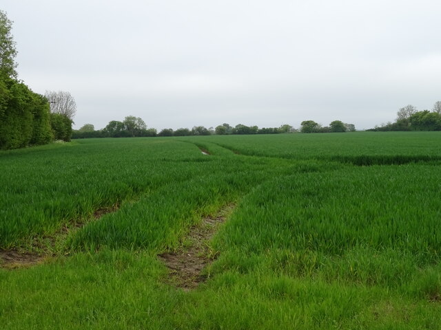
Horse Covert, Suffolk is a picturesque woodland located in the county of Suffolk, England. It is a part of the larger area known as the Suffolk Coast and Heaths Area of Outstanding Natural Beauty. Covering an area of approximately 100 acres, Horse Covert is a haven for nature enthusiasts and wildlife lovers.
The woodland is characterized by its dense canopy of trees, predominantly consisting of oak, birch, and beech. These towering trees create a serene and peaceful atmosphere, providing a habitat for a variety of bird species, such as woodpeckers, nightingales, and tawny owls. The forest floor is adorned with a carpet of bluebells and wildflowers during the spring months, adding a burst of color to the surroundings.
Horse Covert is crisscrossed with winding footpaths and trails, allowing visitors to explore the woodland at their own pace. The paths lead to hidden clearings, where one can find picnic spots and benches, perfect for enjoying a leisurely lunch amidst the beauty of nature. The woodland also features a small stream that meanders through its heart, providing a source of water for the local wildlife.
The Suffolk Wildlife Trust manages Horse Covert, ensuring the conservation and preservation of the woodland's natural biodiversity. Educational events and guided walks are organized regularly, providing visitors with the opportunity to learn about the flora and fauna that call this woodland their home.
Overall, Horse Covert, Suffolk is a captivating woodland that offers a peaceful retreat from the hustle and bustle of daily life. Its abundant wildlife, stunning scenery, and well-maintained footpaths make it a must-visit destination for nature enthusiasts and those seeking solace in the beauty of the Suffolk countryside.
If you have any feedback on the listing, please let us know in the comments section below.
Horse Covert Images
Images are sourced within 2km of 52.129949/1.2830608 or Grid Reference TM2453. Thanks to Geograph Open Source API. All images are credited.


Horse Covert is located at Grid Ref: TM2453 (Lat: 52.129949, Lng: 1.2830608)
Administrative County: Suffolk
District: East Suffolk
Police Authority: Suffolk
What 3 Words
///sonic.spillage.haggling. Near Grundisburgh, Suffolk
Nearby Locations
Related Wikis
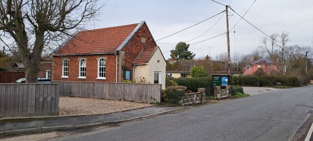
Debach
Debach is a small village about four miles northwest of Woodbridge, Suffolk, UK. == History == At the time of the Domesday Book, 1086, it was called Debenbeis...

Boulge
Boulge is a hamlet and civil parish in the East Suffolk district of Suffolk, England. It is about 3 miles (5 km) north of Woodbridge. The population remained...
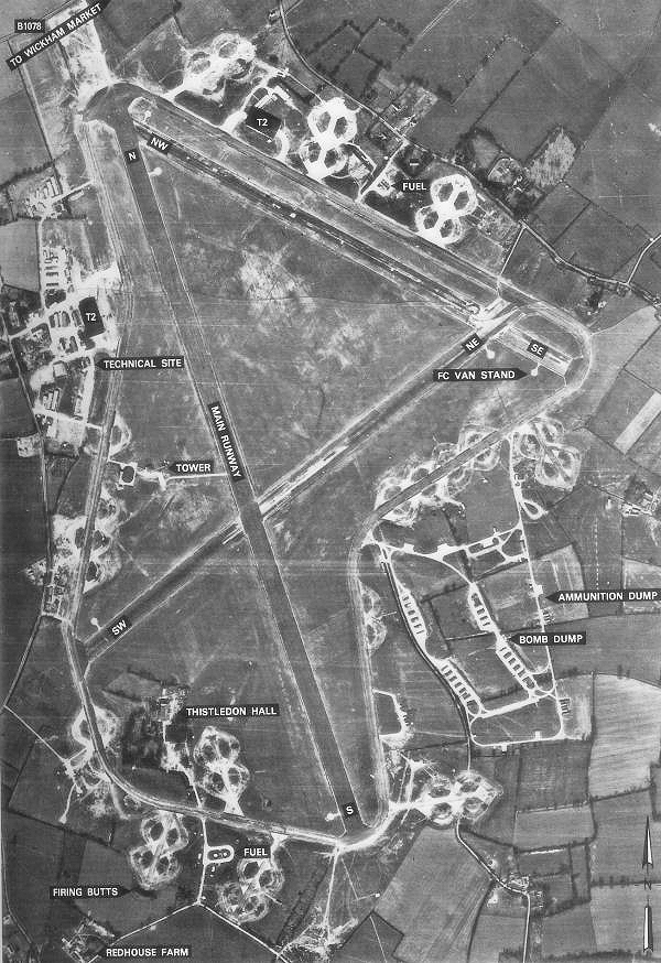
RAF Debach
Royal Air Force Debach or more simply RAF Debach is a former Royal Air Force station located at Debach, 3 miles (4.8 km) northwest of Woodbridge, Suffolk...
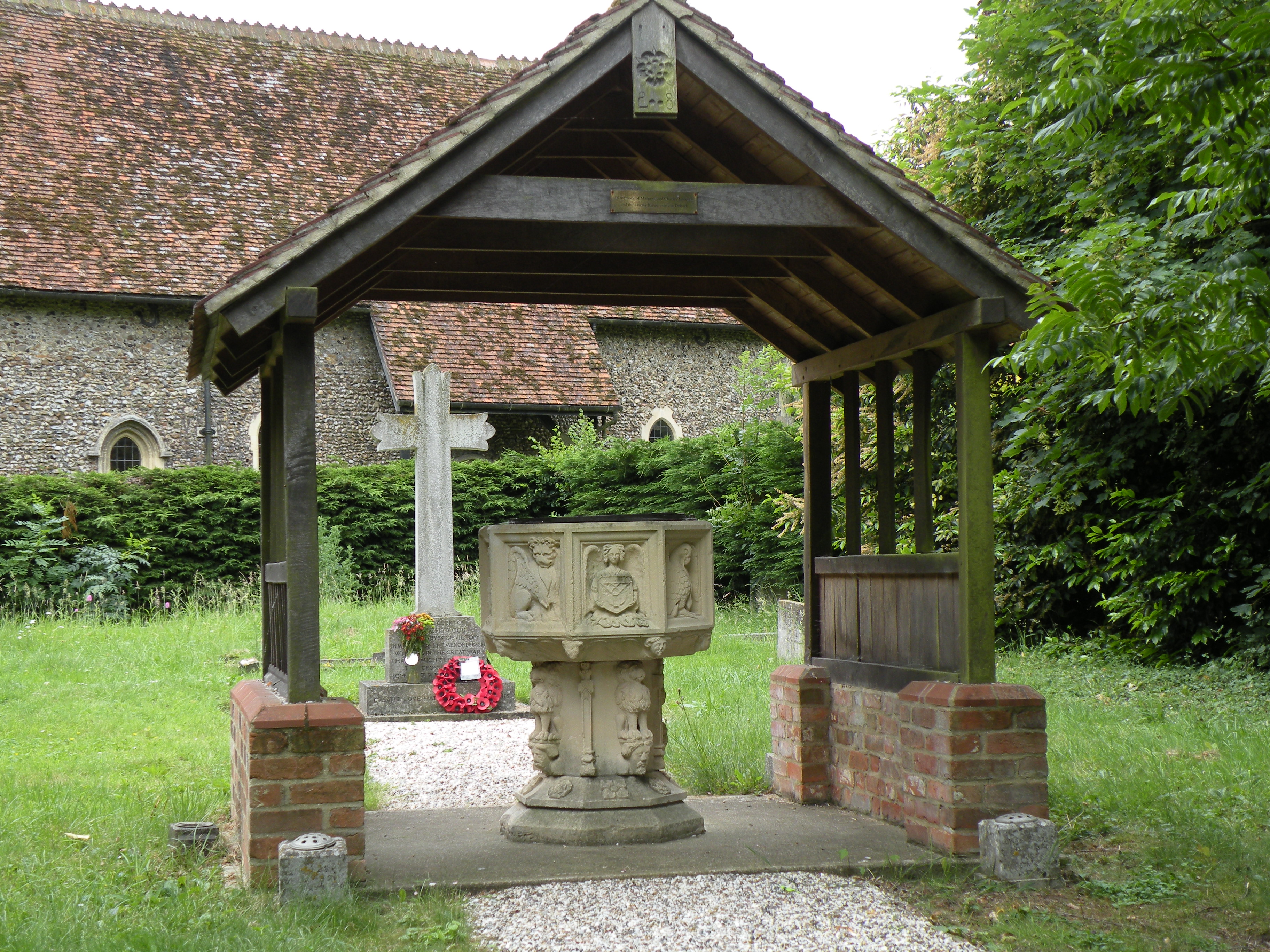
Bredfield
Bredfield is a small village and civil parish in the English county of Suffolk. It is situated just off the A12, two miles north of Woodbridge. Another...
Nearby Amenities
Located within 500m of 52.129949,1.2830608Have you been to Horse Covert?
Leave your review of Horse Covert below (or comments, questions and feedback).