Pole Hill
Hill, Mountain in Suffolk East Suffolk
England
Pole Hill
Pole Hill is a prominent hill located in the county of Suffolk, England. It is situated near the town of Ipswich, approximately 5 miles to the northeast. Despite being referred to as a hill, Pole Hill is more accurately described as a small mound or rise, measuring around 40 meters (131 feet) in height.
The hill is known for its historical significance, as it was once the site of a Bronze Age burial mound. Archaeological excavations conducted in the early 20th century uncovered human remains, pottery, and other artifacts, providing insights into the burial practices and customs of the ancient inhabitants of the area.
Pole Hill offers breathtaking panoramic views of the surrounding countryside, including the picturesque River Orwell and the gently rolling landscape of Suffolk. Its vantage point makes it a popular destination for locals and visitors alike, who enjoy the tranquil atmosphere and the opportunity to take in the natural beauty of the region.
The area surrounding Pole Hill is predominantly agricultural, with sprawling farmland and scattered woodland. The hill itself is covered in grass and small shrubs, providing a habitat for various species of birds and insects.
Visitors to Pole Hill can access the site via a footpath that winds its way up the hill, offering a gentle and enjoyable hike. The hill is also a popular spot for picnics, offering visitors a chance to relax and enjoy the idyllic surroundings.
In conclusion, Pole Hill in Suffolk is a historically and scenically significant mound that offers stunning views of the surrounding countryside. It provides a peaceful retreat in nature for those seeking a break from the hustle and bustle of everyday life.
If you have any feedback on the listing, please let us know in the comments section below.
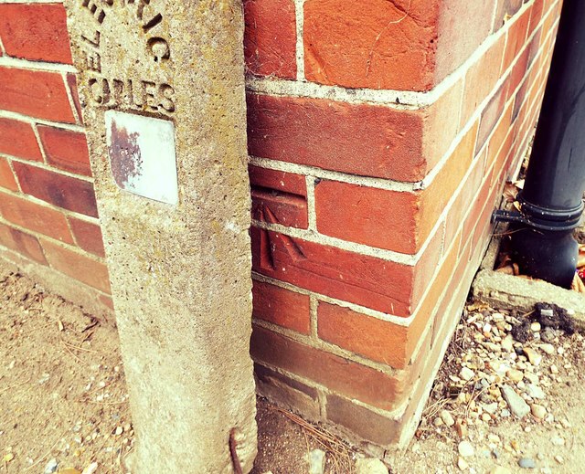
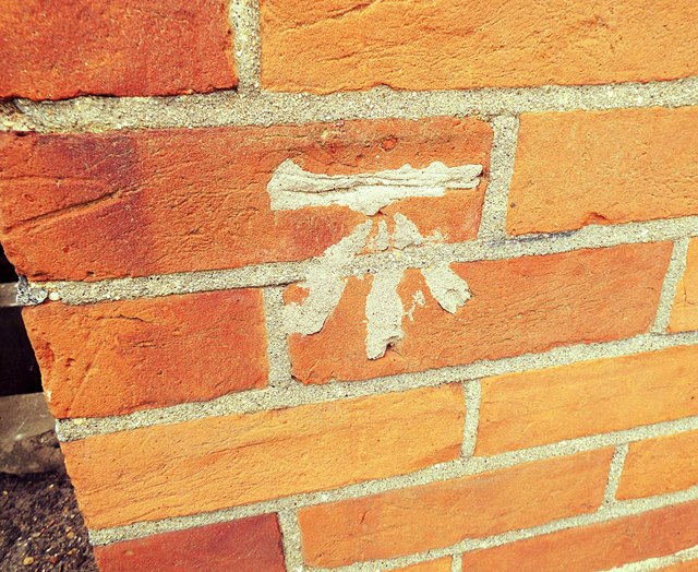
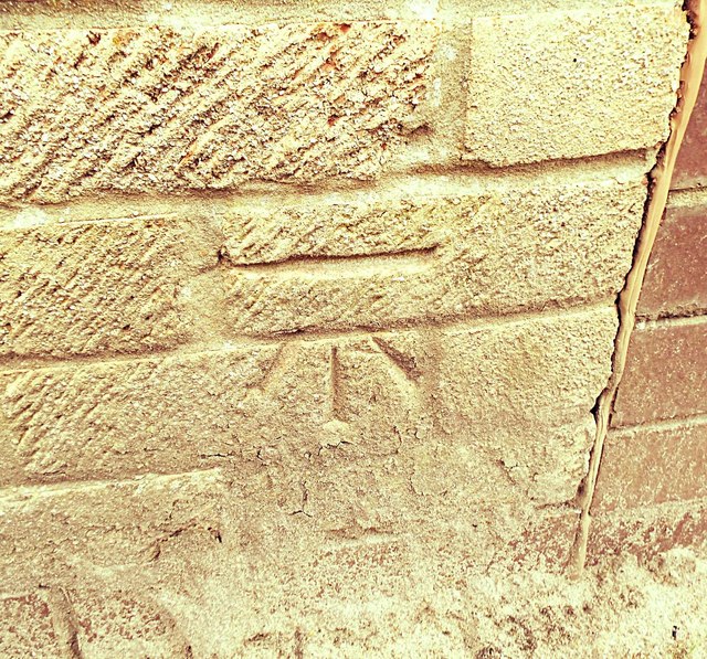
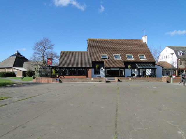
Pole Hill Images
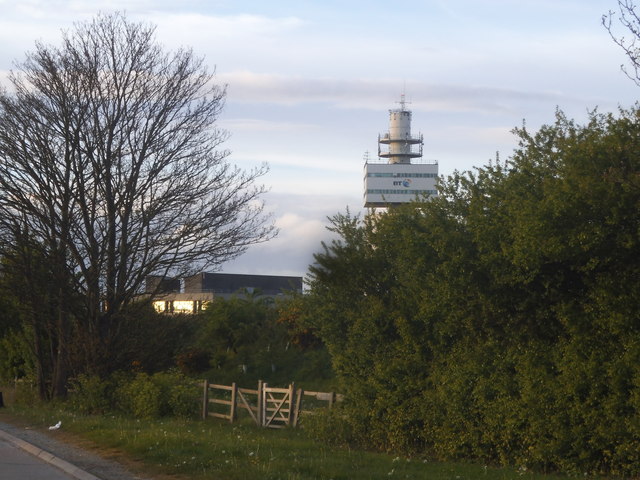
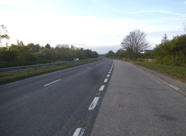
Images are sourced within 2km of 52.051369/1.2603117 or Grid Reference TM2344. Thanks to Geograph Open Source API. All images are credited.
Pole Hill is located at Grid Ref: TM2344 (Lat: 52.051369, Lng: 1.2603117)
Administrative County: Suffolk
District: East Suffolk
Police Authority: Suffolk
What 3 Words
///trials.readjust.basis. Near Kesgrave, Suffolk
Nearby Locations
Related Wikis

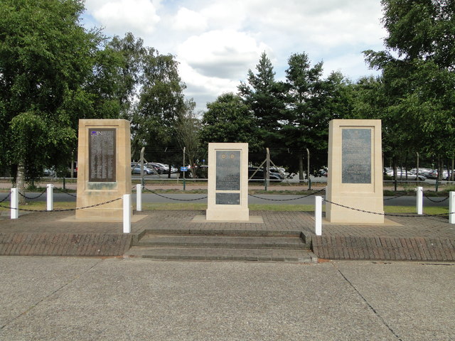
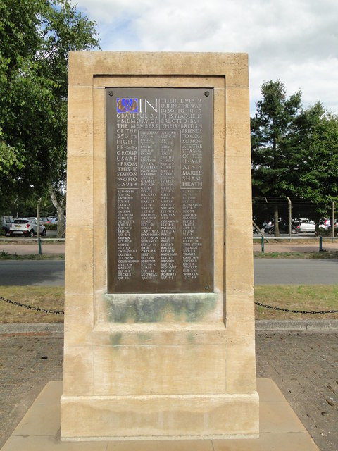
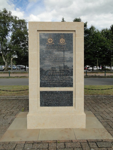
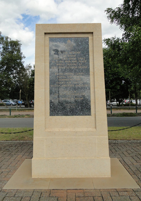
RAF Martlesham Heath
Royal Air Force Martlesham Heath or more simply RAF Martlesham Heath is a former Royal Air Force station located 1.5 miles (2.4 km) southwest of Woodbridge...

Ipswich Heaths
Ipswich Heaths is a 39.4-hectare (97-acre) biological Site of Special Scientific Interest in Ipswich in Suffolk.The site consists of two separate areas...

Martlesham Heath
Martlesham Heath is a village in Suffolk, England. It is 6 miles (10 km) east of Ipswich, This was an ancient area of heathland and latterly the site of...

Adastral Park
Adastral Park is a science campus based on part of the old Royal Air Force Station at Martlesham Heath, near Ipswich in the English county of Suffolk....
Nearby Amenities
Located within 500m of 52.051369,1.2603117Have you been to Pole Hill?
Leave your review of Pole Hill below (or comments, questions and feedback).