Oldhall Hill

Hill, Mountain in Suffolk Babergh

England

Oldhall Hill

Door, Shotley church St. Mary's is a grade II*(star) listed building. This door in the chancel is dated 1745, considered to be the rebuilding date of the whole chancel.
Door, Shotley church Credit: Robin Webster

Oldhall Hill is a prominent landmark located in Suffolk, England. Despite being referred to as a hill, it is more accurately described as a small mountain, as it stands at an impressive height of 430 feet (131 meters) above sea level. It is situated near the village of Oldhall, which is part of the larger district of Mid Suffolk.

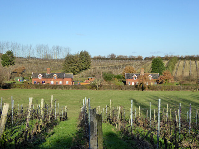
The hill offers breathtaking panoramic views of the surrounding countryside, with its sloping sides covered in lush greenery and interspersed with patches of woodland. It is a popular destination for hikers, nature enthusiasts, and photographers, who are drawn to its natural beauty and serene atmosphere.

Oldhall Hill is renowned for its diverse wildlife, providing a habitat for various species of birds, mammals, and plant life. It is particularly notable for its population of red kites, a bird of prey that has made a successful comeback in recent years.

The area surrounding Oldhall Hill also boasts historical significance. It is believed to have been inhabited since prehistoric times, with evidence of human activity dating back to the Neolithic era. In addition, remnants of an Iron Age fortification can still be found on the hill, further adding to its historical allure.

Overall, Oldhall Hill is not only a striking natural landmark but also a place of historical and ecological importance. Its picturesque landscapes, abundant wildlife, and rich history make it a must-visit destination for those exploring the Suffolk region.

If you have any feedback on the listing, please let us know in the comments section below.

Oldhall Hill Images

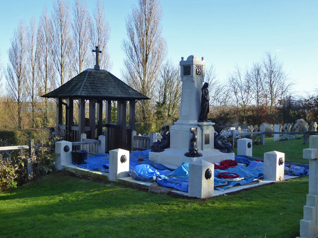
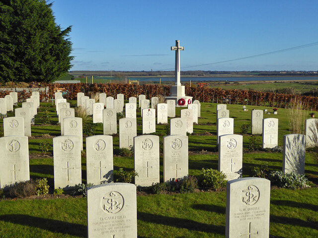
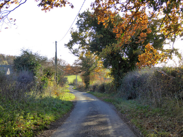
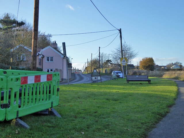
Images are sourced within 2km of 51.971225/1.2553311 or Grid Reference TM2335. Thanks to Geograph Open Source API. All images are credited.

Door, Shotley church St. Mary's is a grade II*(star) listed building. This door in the chancel is dated 1745, considered to be the rebuilding date of the whole chancel.
Door, Shotley church
St. Mary's is a grade II*(star) listed building. This door in the chancel is dated 1745, considered to be the rebuilding date of the whole chancel.
War memorial and war graves, Shotley During the 1939-1945 War, Shotley Gate was the Royal Naval Training Establishment H.M.S. Ganges. This is a special Royal Navy cemetery, next to the regular cemetery off to the right.
War memorial and war graves, Shotley
During the 1939-1945 War, Shotley Gate was the Royal Naval Training Establishment H.M.S. Ganges. This is a special Royal Navy cemetery, next to the regular cemetery off to the right.
Shotley church St. Mary's is a grade II*(star) listed building.
Shotley church
St. Mary's is a grade II*(star) listed building.
Navy graves, Shotley The eastern end of the extended churchyard in largely given over to Naval graves from the First World War. There is a special section and memorial for submariners.
Navy graves, Shotley
The eastern end of the extended churchyard in largely given over to Naval graves from the First World War. There is a special section and memorial for submariners.
Shotley vineyards and cottages on Frogs Alley
Navy graves, Shotley The eastern end of the extended churchyard in largely given over to Naval graves from the First World War.
Navy graves, Shotley
The eastern end of the extended churchyard in largely given over to Naval graves from the First World War.
Submariners' memorial lychgate, Shotley For those of the 8th and 9th submarine flotillas who died 1914-1919.
Submariners' memorial lychgate, Shotley
For those of the 8th and 9th submarine flotillas who died 1914-1919.
Plaque, submariners' memorial lychgate, Shotley
Submariners' memorial, Shotley For those of the 8th and 9th submarine flotillas who died 1914-1919. The plastic sheeting looks like it is protecting setting concrete from frost.
Submariners' memorial, Shotley
For those of the 8th and 9th submarine flotillas who died 1914-1919. The plastic sheeting looks like it is protecting setting concrete from frost.
Navy cemetery, Shotley During the 1939-1945 War, Shotley Gate was the Royal Naval Training Establishment H.M.S. Ganges. This is a special Royal Navy cemetery, next to the regular cemetery behind the camera the right.
Navy cemetery, Shotley
During the 1939-1945 War, Shotley Gate was the Royal Naval Training Establishment H.M.S. Ganges. This is a special Royal Navy cemetery, next to the regular cemetery behind the camera the right.
Shotley church and cemeteries To the left of the cemetery path, civilian graves, to the right, WWII naval graves.
Shotley church and cemeteries
To the left of the cemetery path, civilian graves, to the right, WWII naval graves.
Oldhall Road, Shotley From Shotley Church End towards Shotley and Shotley Gate.
Oldhall Road, Shotley
From Shotley Church End towards Shotley and Shotley Gate.
B1456 The Street, Shotley Towards the village and the rest of the world.
B1456 The Street, Shotley
Towards the village and the rest of the world.
The Bristol Arms, Shotley Gate The barriers are around road work across the road from the pub, not the pub itself.
The Bristol Arms, Shotley Gate
The barriers are around road work across the road from the pub, not the pub itself.
The Bristol Arms - inn sign
Martello/water tower above Shotley Marina A grade II listed building, despite the tower from the Napoleonic wars being spoiled by a comparatively modern extension and water tank on top.
Martello/water tower above Shotley Marina
A grade II listed building, despite the tower from the Napoleonic wars being spoiled by a comparatively modern extension and water tank on top.
'Allen Gardiner' turns back up the Orwell A 'river cruise restaurant' from and to Ipswich. The Fagbury buoy is on the left, marking the far (NE) side of the deep channel.
'Allen Gardiner' turns back up the Orwell
A 'river cruise restaurant' from and to Ipswich. The Fagbury buoy is on the left, marking the far (NE) side of the deep channel.
Show me another place!

Oldhall Hill is located at Grid Ref: TM2335 (Lat: 51.971225, Lng: 1.2553311)

Administrative County: Suffolk

District: Babergh

Police Authority: Suffolk

What 3 Words

///survive.clipboard.backlog. Near Shotley Gate, Suffolk

Related Wikis

Shotley

Shotley is a village and civil parish 8 miles (13 km) south-east of Ipswich in the English county of Suffolk. It is in the Babergh district and gives its...

Ganges Wood

Ganges Wood is a woodland in Suffolk, England, near the village of Shotley Gate. It covers a total area of 2.21 hectares (5.46 acres). It is owned and...

Shotley Gate

Shotley Gate is a settlement in the civil parish of Shotley, in the Babergh district, in the county of Suffolk, England. It is located at the tip of Shotley...

HMS Ganges mast

A ship's mast stands on the site of the Royal Navy shore establishment HMS Ganges at Shotley, Suffolk in England. It was formerly used for mast climbing...

Nearby Amenities

Located within 500m of 51.971225,1.2553311
Turning Circle
Lat/Long: 51.9704149/1.2507406
Shotley
Place: village
Source Name: common knowledge
Wikidata: Q2605004
Wikipedia: en:Shotley
Lat/Long: 51.968914/1.2528292
Bus Stop
School
Bus: yes
Local Ref: o/s
Naptan AtcoCode: 390010015
Naptan Bearing: W
Naptan BusStopType: CUS
Naptan CommonName: School
Naptan Landmark: School
Naptan NaptanCode: sufadaja
Naptan Street: A138
Naptan Verified: no
Public Transport: platform
Source: naptan_import
Lat/Long: 51.9697639/1.2557513
Bus Stop
School
Bus: yes
Local Ref: opp
Naptan AtcoCode: 390010016
Naptan Bearing: E
Naptan BusStopType: CUS
Naptan CommonName: School
Naptan Landmark: School
Naptan NaptanCode: sufadajd
Naptan Street: A138
Naptan Verified: no
Public Transport: platform
Source: naptan_import
Lat/Long: 51.9698403/1.255917
Bus Stop
The Rose
Bus: yes
Local Ref: adj
Naptan AtcoCode: 390010017
Naptan Bearing: W
Naptan CommonName: The Rose
Naptan Landmark: The Rose
Naptan NaptanCode: sufadajg
Naptan Street: The Street
Naptan Verified: no
Public Transport: platform
Source: naptan_import
Lat/Long: 51.9693633/1.2520235
Bus Stop
The Rose
Bus: yes
Local Ref: opp
Naptan AtcoCode: 390010018
Naptan Bearing: E
Naptan CommonName: The Rose
Naptan Landmark: The Rose
Naptan NaptanCode: sufadajm
Naptan Street: The Street
Naptan Verified: no
Public Transport: platform
Source: naptan_import
Lat/Long: 51.9694152/1.2521
Bus Stop
Kingsland
Bus: yes
Local Ref: adj
Naptan AtcoCode: 390010019
Naptan Bearing: W
Naptan CommonName: Kingsland
Naptan Landmark: Kingsland
Naptan NaptanCode: sufadajp
Naptan Street: The Street
Naptan Verified: no
Public Transport: platform
Source: naptan_import
Lat/Long: 51.9695933/1.2489092
Kingsland
Local Ref: opp
Naptan AtcoCode: 390010020
Naptan Bearing: E
Naptan BusStopType: CUS
Naptan CommonName: Kingsland
Naptan Landmark: Kingsland
Naptan NaptanCode: sufadajt
Naptan Street: The Street
Naptan Verified: no
Source: naptan_import
Lat/Long: 51.9697377/1.2488906
Power: pole
Lat/Long: 51.9718258/1.255754
Power: pole
Lat/Long: 51.9702486/1.2608474
Power: pole
Lat/Long: 51.9718613/1.255923
Power: pole
Lat/Long: 51.970465/1.258471
Power: pole
Lat/Long: 51.9730444/1.2493463
Power: transformer
Lat/Long: 51.9717225/1.2560316
Power: pole
Lat/Long: 51.9705625/1.2571569
Power: pole
Lat/Long: 51.975009/1.2542574
Power: transformer
Lat/Long: 51.9716986/1.2558613
Power: pole
Lat/Long: 51.9730543/1.2546088
Power: pole
Lat/Long: 51.9732625/1.2508483
Power: pole
Lat/Long: 51.9722852/1.2553999
Power: pole
Lat/Long: 51.973621/1.2531979
Power: pole
Lat/Long: 51.9734491/1.252071
Power: pole
Lat/Long: 51.9701461/1.2619874
Power: pole
Lat/Long: 51.9743233/1.2546919
Power: pole
Lat/Long: 51.9734492/1.2552444
Power: pole
Lat/Long: 51.9713325/1.2566821
Power: pole
Lat/Long: 51.9719555/1.2561603
Power: pole
Lat/Long: 51.9726272/1.2557446
Power: pole
Lat/Long: 51.9703527/1.2596673
Post Office
Shotley Post Office
Addr Country: GB
Addr Postcode: IP9 1LD
Addr Street: The Street
Brand: Post Office
Brand Wikidata: Q1783168
Contact Website: https://www.postoffice.co.uk/branch-finder/1061305/shotley
In Store: yes
Opening Hours: Mo-Fr 09:00-13:00,14:00-17:30; Sa 09:00-13:00; Su,PH off
Ref Pol Id: 1452
Lat/Long: 51.9694414/1.2493824
Post Box
Ref: IP9 1380
Lat/Long: 51.9695582/1.2493518
Generator Method: photovoltaic
Generator Output Electricity: yes
Generator Source: solar
Generator Type: solar_photovoltaic_panel
Location: roof
Power: generator
Lat/Long: 51.9697669/1.2491209
Generator Method: photovoltaic
Generator Output Electricity: yes
Generator Source: solar
Generator Type: solar_photovoltaic_panel
Location: roof
Power: generator
Lat/Long: 51.9692976/1.2506309
Generator Method: photovoltaic
Generator Output Electricity: yes
Generator Source: solar
Generator Type: solar_photovoltaic_panel
Location: roof
Power: generator
Lat/Long: 51.9696306/1.2515402
Generator Method: photovoltaic
Generator Output Electricity: yes
Generator Source: solar
Generator Type: solar_photovoltaic_panel
Location: roof
Power: generator
Lat/Long: 51.9700974/1.2539877
Generator Method: photovoltaic
Generator Output Electricity: yes
Generator Source: solar
Generator Type: solar_photovoltaic_panel
Location: roof
Power: generator
Lat/Long: 51.9698272/1.2541124
Generator Method: photovoltaic
Generator Output Electricity: yes
Generator Source: solar
Generator Type: solar_photovoltaic_panel
Location: roof
Power: generator
Lat/Long: 51.9697934/1.2538254
Generator Method: photovoltaic
Generator Output Electricity: yes
Generator Source: solar
Generator Type: solar_photovoltaic_panel
Location: roof
Power: generator
Lat/Long: 51.9697843/1.2537798
Generator Method: photovoltaic
Generator Output Electricity: yes
Generator Source: solar
Generator Type: solar_photovoltaic_panel
Location: roof
Power: generator
Lat/Long: 51.9697017/1.2500462
Generator Method: photovoltaic
Generator Output Electricity: yes
Generator Source: solar
Generator Type: solar_photovoltaic_panel
Location: roof
Power: generator
Lat/Long: 51.9696868/1.2502179
Generator Method: photovoltaic
Generator Output Electricity: yes
Generator Source: solar
Generator Type: solar_photovoltaic_panel
Location: roof
Power: generator
Lat/Long: 51.9693447/1.2507167
Generator Method: photovoltaic
Generator Output Electricity: yes
Generator Source: solar
Generator Type: solar_photovoltaic_panel
Location: roof
Power: generator
Lat/Long: 51.9702007/1.2504646
Generator Method: photovoltaic
Generator Output Electricity: yes
Generator Source: solar
Generator Type: solar_photovoltaic_panel
Location: roof
Power: generator
Lat/Long: 51.9702189/1.2505692
Generator Method: photovoltaic
Generator Output Electricity: yes
Generator Source: solar
Generator Type: solar_photovoltaic_panel
Location: roof
Power: generator
Lat/Long: 51.9707972/1.2523636
Generator Method: photovoltaic
Generator Output Electricity: yes
Generator Source: solar
Generator Type: solar_photovoltaic_panel
Location: roof
Power: generator
Lat/Long: 51.9702023/1.2539488
Generator Method: photovoltaic
Generator Output Electricity: yes
Generator Source: solar
Generator Type: solar_photovoltaic_panel
Location: roof
Power: generator
Lat/Long: 51.9699925/1.2541714
Generator Method: photovoltaic
Generator Output Electricity: yes
Generator Source: solar
Generator Type: solar_photovoltaic_panel
Location: roof
Power: generator
Lat/Long: 51.9695529/1.2530342
Defibrillator
Defibrillator Location: Adjacent to the front door of the village hall, next to the Rose pub.
Emergency: defibrillator
Indoor: no
Ref GB The Circuit: 945200BA-3634-4A4D-AD08-AD3D01057870
Lat/Long: 51.9688965/1.252421
The data included in this document is from www.openstreetmap.org. The data is made available under ODbL.

Have you been to Oldhall Hill?

Leave your review of Oldhall Hill below (or comments, questions and feedback).