Church End

Settlement in Suffolk Babergh

England

Church End

Door, Shotley church St. Mary's is a grade II*(star) listed building. This door in the chancel is dated 1745, considered to be the rebuilding date of the whole chancel.
Door, Shotley church Credit: Robin Webster

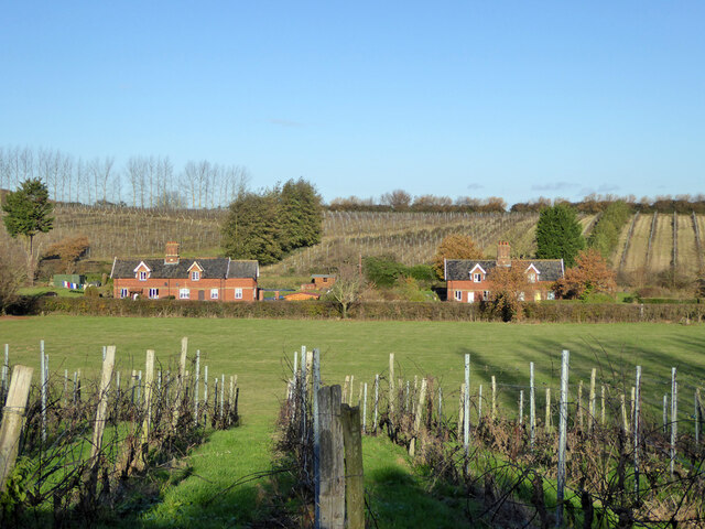
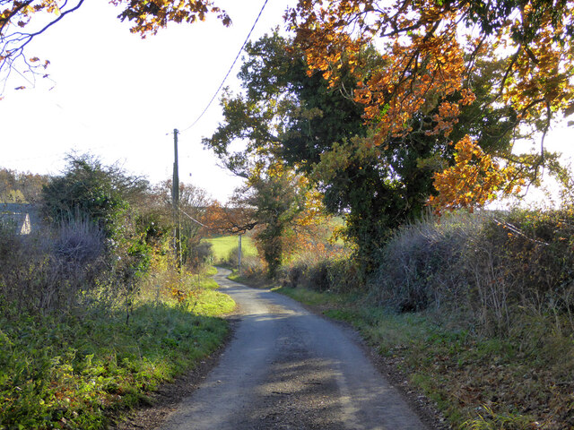
Church End is a small village located in the county of Suffolk, England. Situated approximately 50 miles northeast of London, it falls within the district of Mid Suffolk. The village is surrounded by picturesque countryside, with rolling hills and expansive fields, creating a tranquil and idyllic setting.

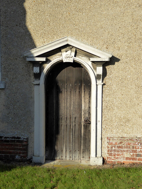
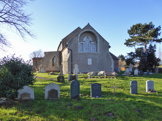
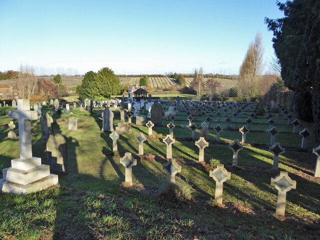
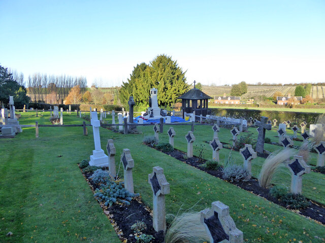
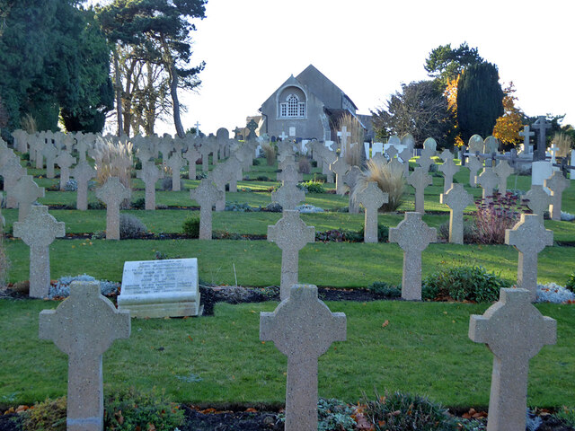
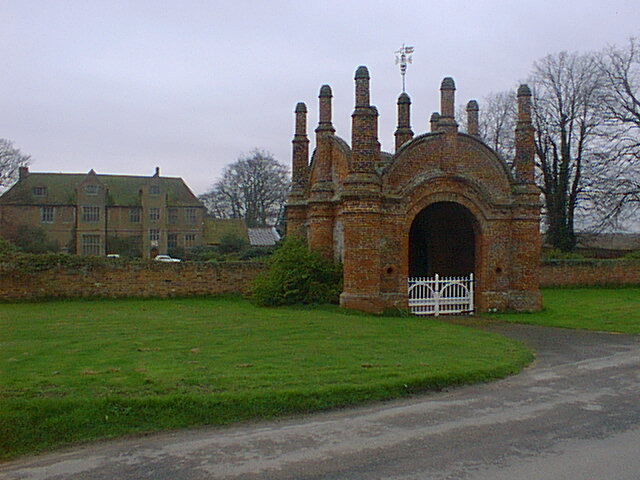
The heart of Church End is dominated by its historic church, which dates back to the 12th century. The church, dedicated to St. Mary, is a beautiful example of Norman architecture, characterized by its sturdy stone walls and ornate detailing. The churchyard is a peaceful spot, often attracting visitors who appreciate its serene atmosphere and historical significance.

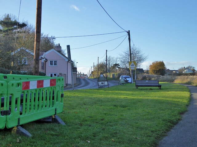
The village itself is made up of a scattering of charming cottages, some of which are Grade II listed buildings, adding to the area's character and charm. The community in Church End is close-knit and welcoming, with a strong sense of community spirit evident through various local events and activities.

Although small in size, Church End benefits from its proximity to larger towns such as Stowmarket and Needham Market, which provide residents with access to a wider range of amenities, including shops, schools, and healthcare facilities. The village is well-connected, with good transportation links to neighboring areas, making it an attractive location for those seeking a rural lifestyle with convenient access to larger towns.

Overall, Church End offers residents and visitors alike a peaceful and picturesque village setting, steeped in history and surrounded by the natural beauty of the Suffolk countryside.

If you have any feedback on the listing, please let us know in the comments section below.

Church End Images

Images are sourced within 2km of 51.977317/1.2552051 or Grid Reference TM2335. Thanks to Geograph Open Source API. All images are credited.

Door, Shotley church St. Mary's is a grade II*(star) listed building. This door in the chancel is dated 1745, considered to be the rebuilding date of the whole chancel.
Door, Shotley church
St. Mary's is a grade II*(star) listed building. This door in the chancel is dated 1745, considered to be the rebuilding date of the whole chancel.
War memorial and war graves, Shotley During the 1939-1945 War, Shotley Gate was the Royal Naval Training Establishment H.M.S. Ganges. This is a special Royal Navy cemetery, next to the regular cemetery off to the right.
War memorial and war graves, Shotley
During the 1939-1945 War, Shotley Gate was the Royal Naval Training Establishment H.M.S. Ganges. This is a special Royal Navy cemetery, next to the regular cemetery off to the right.
Shotley church St. Mary's is a grade II*(star) listed building.
Shotley church
St. Mary's is a grade II*(star) listed building.
Navy graves, Shotley The eastern end of the extended churchyard in largely given over to Naval graves from the First World War. There is a special section and memorial for submariners.
Navy graves, Shotley
The eastern end of the extended churchyard in largely given over to Naval graves from the First World War. There is a special section and memorial for submariners.
Shotley vineyards and cottages on Frogs Alley
Navy graves, Shotley The eastern end of the extended churchyard in largely given over to Naval graves from the First World War.
Navy graves, Shotley
The eastern end of the extended churchyard in largely given over to Naval graves from the First World War.
Submariners' memorial lychgate, Shotley For those of the 8th and 9th submarine flotillas who died 1914-1919.
Submariners' memorial lychgate, Shotley
For those of the 8th and 9th submarine flotillas who died 1914-1919.
Plaque, submariners' memorial lychgate, Shotley
Submariners' memorial, Shotley For those of the 8th and 9th submarine flotillas who died 1914-1919. The plastic sheeting looks like it is protecting setting concrete from frost.
Submariners' memorial, Shotley
For those of the 8th and 9th submarine flotillas who died 1914-1919. The plastic sheeting looks like it is protecting setting concrete from frost.
Navy cemetery, Shotley During the 1939-1945 War, Shotley Gate was the Royal Naval Training Establishment H.M.S. Ganges. This is a special Royal Navy cemetery, next to the regular cemetery behind the camera the right.
Navy cemetery, Shotley
During the 1939-1945 War, Shotley Gate was the Royal Naval Training Establishment H.M.S. Ganges. This is a special Royal Navy cemetery, next to the regular cemetery behind the camera the right.
Shotley church and cemeteries To the left of the cemetery path, civilian graves, to the right, WWII naval graves.
Shotley church and cemeteries
To the left of the cemetery path, civilian graves, to the right, WWII naval graves.
Oldhall Road, Shotley From Shotley Church End towards Shotley and Shotley Gate.
Oldhall Road, Shotley
From Shotley Church End towards Shotley and Shotley Gate.
B1456 The Street, Shotley Towards the village and the rest of the world.
B1456 The Street, Shotley
Towards the village and the rest of the world.
Lane towards Erwarton Erwarton Hall Farm is ahead.
Lane towards Erwarton
Erwarton Hall Farm is ahead.
Dock cranes reflected in a drainage ditch
Levington Marina, Orwell River
Erwarton Hall Gate
Erwarton Hall Gate
Show me another place!

Church End is located at Grid Ref: TM2335 (Lat: 51.977317, Lng: 1.2552051)

Administrative County: Suffolk

District: Babergh

Police Authority: Suffolk

What 3 Words

///tonality.prominent.evenly. Near Shotley Gate, Suffolk

Related Wikis

Shotley

Shotley is a village and civil parish 8 miles (13 km) south-east of Ipswich in the English county of Suffolk. It is in the Babergh district and gives its...

Ganges Wood

Ganges Wood is a woodland in Suffolk, England, near the village of Shotley Gate. It covers a total area of 2.21 hectares (5.46 acres). It is owned and...

Erwarton

Erwarton or Arwarton is a small village and civil parish in the Babergh district of Suffolk, England. The parish includes the hamlet of Shop Corner. Located...

Shotley Gate

Shotley Gate is a settlement in the civil parish of Shotley, in the Babergh district, in the county of Suffolk, England. It is located at the tip of Shotley...

HMS Ganges mast

A ship's mast stands on the site of the Royal Navy shore establishment HMS Ganges at Shotley, Suffolk in England. It was formerly used for mast climbing...

Shotley Battery

Shotley Battery was built in 1865 on the Shotley Peninsula to guard the port of Felixstowe, within HMS Ganges Naval Training school, on the same site as...

Trimley Marshes

Trimley Marshes is a 77 hectare nature reserve west of Trimley St Mary, on the outskirts of Felixstowe in Suffolk. It is managed by the Suffolk Wildlife...

RNTE Shotley

Royal Naval Training Establishment Shotley, known in the Royal Navy as HMS Ganges, was a naval training establishment at Shotley, near Ipswich in Suffolk...

Nearby Amenities

Located within 500m of 51.977317,1.2552051
Power: pole
Lat/Long: 51.976724/1.2538148
Power: pole
Lat/Long: 51.9773593/1.2575497
Power: pole
Lat/Long: 51.9775939/1.2583503
Power: pole
Lat/Long: 51.9759854/1.2536619
Power: pole
Lat/Long: 51.975009/1.2542574
Power: pole
Lat/Long: 51.9730543/1.2546088
Power: pole
Lat/Long: 51.973621/1.2531979
Power: pole
Lat/Long: 51.9734491/1.252071
Power: pole
Lat/Long: 51.9743233/1.2546919
Power: pole
Lat/Long: 51.9734492/1.2552444
Historic: memorial
Lat/Long: 51.9774013/1.2566022
Post Box
Operator: Royal Mail
Operator Type: private
Operator Wikidata: Q638098
Post Box Mounting: pier
Post Box Type: lamp
Ref: IP9 1099
Royal Cypher: EIIR
Royal Cypher Wikidata: Q33102113
Lat/Long: 51.9774294/1.2553216
Booth: K6
Covered: booth
Disused Amenity: telephone
Man Made: telephone_box
Lat/Long: 51.9774217/1.2553654
The data included in this document is from www.openstreetmap.org. The data is made available under ODbL.

Have you been to Church End?

Leave your review of Church End below (or comments, questions and feedback).