Spixworth Hill

Hill, Mountain in Norfolk Broadland

England

Spixworth Hill

OS Benchmark Recorded on Benchmark Database as 'Spixworth, St Peter's Church'.
OS Benchmark Credit: David Bremner

Spixworth Hill is a small hill located in the county of Norfolk, England. Situated in the village of Spixworth, it is surrounded by picturesque countryside and offers stunning views of the surrounding area.

Despite its name, Spixworth Hill is not a particularly tall or steep hill, and could be more accurately described as a gentle slope. It is approximately 50 meters high, making it a modest elevation compared to other hills in the region. The hill is covered in lush green grass and is dotted with a few trees, adding to its natural beauty.

The summit of Spixworth Hill provides visitors with panoramic views of the surrounding countryside, including the nearby villages and farmland. On a clear day, one can even catch a glimpse of the Norfolk Broads, a network of rivers and lakes famous for its wildlife and boating opportunities.

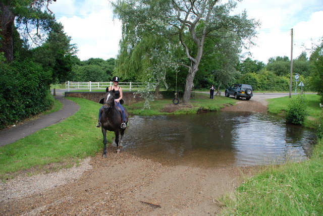
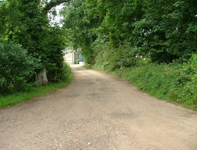
The hill is a popular spot for locals and tourists alike, who often come here for leisurely walks or picnics. The area surrounding Spixworth Hill is crisscrossed with footpaths and bridleways, making it an ideal destination for hikers and nature enthusiasts. The hill also attracts birdwatchers, as it is home to a variety of bird species, including woodpeckers and thrushes.

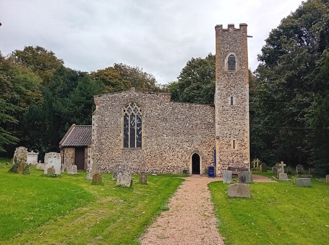
In addition to its natural beauty, Spixworth Hill has a rich history. It is believed that the hill was formed during the last ice age, and archaeological evidence suggests that it has been inhabited since prehistoric times. Nearby, there are also several historical sites, including an ancient burial mound and a medieval church, adding further interest to the area.

Overall, Spixworth Hill offers a peaceful and scenic retreat for those seeking to connect with nature and explore the history of Norfolk.

If you have any feedback on the listing, please let us know in the comments section below.

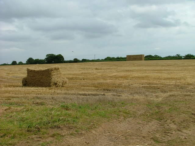
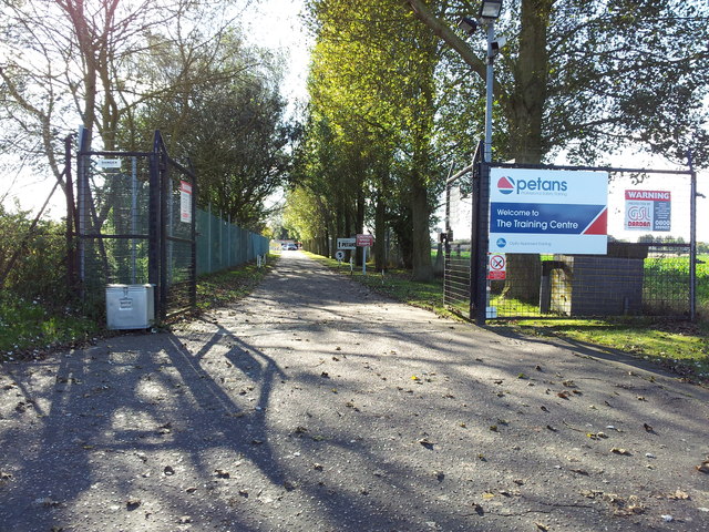
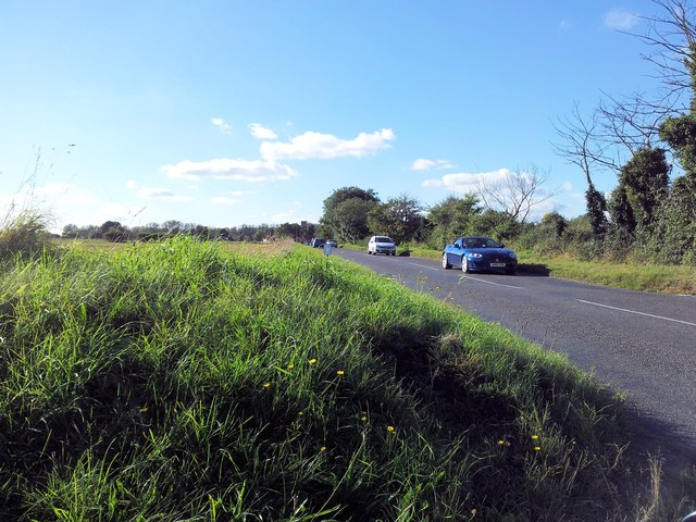
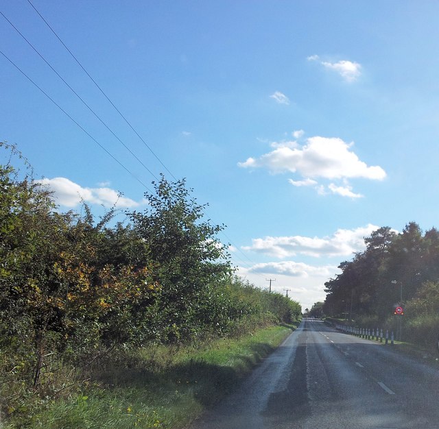
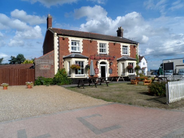
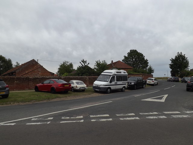
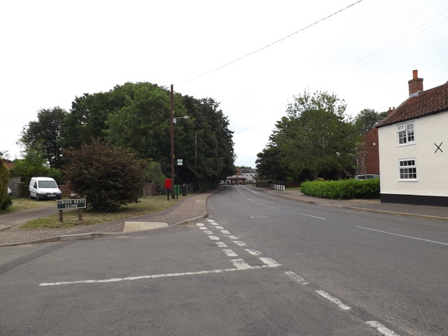
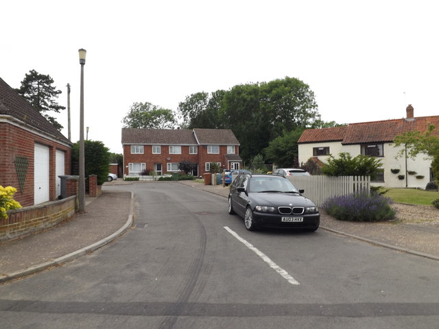
Spixworth Hill Images

Images are sourced within 2km of 52.694567/1.3071948 or Grid Reference TG2315. Thanks to Geograph Open Source API. All images are credited.

OS Benchmark Recorded on Benchmark Database as 'Spixworth, St Peter's Church'.
OS Benchmark
Recorded on Benchmark Database as 'Spixworth, St Peter's Church'.
St Peter's, Spixworth An attractive church which we were delighted to find open.
St Peter's, Spixworth
An attractive church which we were delighted to find open.
Flowers, St Peter's Church Attractive floral display at St Peter's Church, Spixworth.
Flowers, St Peter's Church
Attractive floral display at St Peter's Church, Spixworth.
The Longe Arms Spixworth Located on the junction of Buxton Road and Crostwick Lane. It nearly closed at the end of 2010 when the lease was due to run out. Two villagers decided to take it over rather than see it close.
The Longe Arms Spixworth
Located on the junction of Buxton Road and Crostwick Lane. It nearly closed at the end of 2010 when the lease was due to run out. Two villagers decided to take it over rather than see it close.
Ford and Rider at Horsham St Faith This ford is found at Horsham St Faith very close to Norwich International Airport
Ford and Rider at Horsham St Faith
This ford is found at Horsham St Faith very close to Norwich International Airport
Entrance to Grove Farm, Hainford
Harvested field at Grove Farm Hainford.
Harvested field at Grove Farm
Hainford.
Entrance to Petans Training Centre
Spixworth Road at the junction with Calf Lane
Manor Road approaching the crematorium
The Rose and Crown pub Frettenham
Old Norwich Road, Horsham St.Faith At the junction with Norwich Road & Church Street
Old Norwich Road, Horsham St.Faith
At the junction with Norwich Road & Church Street
Norwich Road, Horsham St.Faith At the junction with Cross Leys Close
Postbox No.NR10 1001D
Norwich Road, Horsham St.Faith
At the junction with Cross Leys Close Postbox No.NR10 1001D
Cross Leys Close, Horsham St.Faith At the junction with Norwich Road
Cross Leys Close, Horsham St.Faith
At the junction with Norwich Road
Norwich Road, Horsham St.Faith At the junction with Cross Keys Close
Norwich Road, Horsham St.Faith
At the junction with Cross Keys Close
Cross Keys Close sign On Cross Keys Close at the junction with Norwich Road
Cross Keys Close sign
On Cross Keys Close at the junction with Norwich Road
Norwich Road Postbox On Norwich Road at the junction with Cross Keys Close
Postbox No.NR10 1001D
Norwich Road Postbox
On Norwich Road at the junction with Cross Keys Close Postbox No.NR10 1001D
Norwich Road Postbox On Norwich Road at the junction with Cross Keys Close
Postbox No.NR10 1001D
Norwich Road Postbox
On Norwich Road at the junction with Cross Keys Close Postbox No.NR10 1001D
Show me another place!

Spixworth Hill is located at Grid Ref: TG2315 (Lat: 52.694567, Lng: 1.3071948)

Administrative County: Norfolk

District: Broadland

Police Authority: Norfolk

What 3 Words

///freed.loser.opens. Near Spixworth, Norfolk

Related Wikis

Spixworth

Spixworth is a village and civil parish in the English county of Norfolk. The village lies close to the B1150 road and is 5 miles (8.0 km) north of Norwich...

Hillside Animal Sanctuary

Hillside Animal Sanctuary, based in Frettenham, Norwich, and with a site at West Runton, North Norfolk, is the United Kingdom's largest home for different...

Frettenham

Frettenham is a village and civil parish in the English county of Norfolk. It is located 3.2 miles (5.1 km) west of Wroxham, and 5.7 miles (9.2 km) north...

Horsham St Faith and Newton St Faith

Horsham St Faith and Newton St Faith is a civil parish in the English county of Norfolk, consisting of the former parishes of Horsham St Faith and Newton...

Nearby Amenities

Located within 500m of 52.694567,1.3071948
Crossing
Crossing: uncontrolled
Horse: yes
Lat/Long: 52.6916526/1.308445
Entrance: yes
Lat/Long: 52.6932898/1.3141929
Location Transition: yes
Power: pole
Transformer: distribution
Lat/Long: 52.6926694/1.312952
Give Way
Lat/Long: 52.693056/1.3136802
Give Way
Lat/Long: 52.6927911/1.3132419
Give Way
Lat/Long: 52.6925393/1.313765
Post Box
Operator: Royal Mail
Post Box Type: wall
Royal Cypher: VR
Royal Cypher Wikidata: Q33102356
Lat/Long: 52.6928608/1.313121
The data included in this document is from www.openstreetmap.org. The data is made available under ODbL.

Have you been to Spixworth Hill?

Leave your review of Spixworth Hill below (or comments, questions and feedback).