Pole Hill Tumulus
Heritage Site in Suffolk East Suffolk
England
Pole Hill Tumulus
Pole Hill Tumulus, located in the county of Suffolk, England, is an ancient burial mound that holds significant historical and cultural value. Standing at approximately 3 meters high and 40 meters in diameter, the tumulus is situated on a prominent hill in the gently rolling countryside.
Believed to date back to the Bronze Age, the Pole Hill Tumulus is a testament to the early human settlements in the area. It is thought to have been constructed as a burial site for a person or persons of importance, as was common during that period. The mound's construction consists of layers of soil and rocks, creating a distinctive conical shape.
The site has been of great interest to archaeologists and historians. Excavations conducted in the past have revealed various items buried alongside the deceased, such as pottery, flint tools, and beads, providing valuable insights into the material culture and practices of the Bronze Age inhabitants.
Today, Pole Hill Tumulus is recognized as a protected heritage site, under the care of local authorities and historical preservation organizations. It serves as a reminder of the area's ancient past and provides an opportunity for visitors to connect with the rich history of Suffolk.
Access to the tumulus is relatively easy, with footpaths leading up to the site, offering panoramic views of the surrounding countryside. Interpretive signs are present to provide visitors with information about the tumulus, its history, and its significance.
Pole Hill Tumulus is not only a fascinating archaeological site but also a picturesque spot where visitors can appreciate the natural beauty and tranquility of the Suffolk landscape.
If you have any feedback on the listing, please let us know in the comments section below.
Pole Hill Tumulus Images
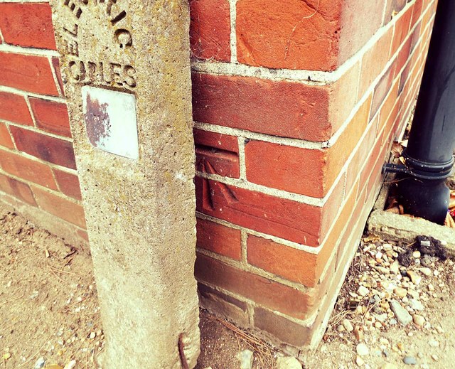
Images are sourced within 2km of 52.0505/1.2603 or Grid Reference TM2344. Thanks to Geograph Open Source API. All images are credited.
Pole Hill Tumulus is located at Grid Ref: TM2344 (Lat: 52.0505, Lng: 1.2603)
Administrative County: Suffolk
District: East Suffolk
Police Authority: Suffolk
What 3 Words
///adopting.test.ruling. Near Kesgrave, Suffolk
Nearby Locations
Related Wikis

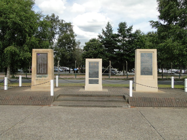
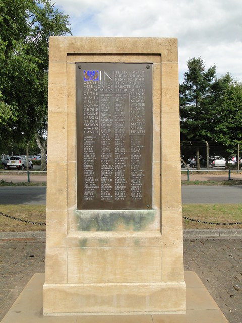
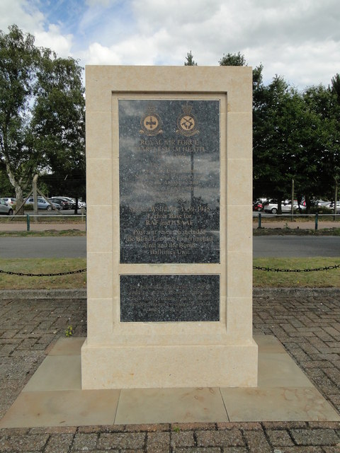
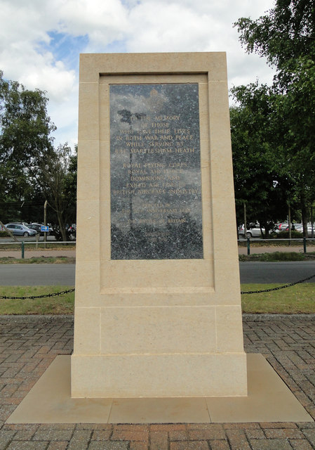
RAF Martlesham Heath
Royal Air Force Martlesham Heath or more simply RAF Martlesham Heath is a former Royal Air Force station located 1.5 miles (2.4 km) southwest of Woodbridge...

Ipswich Heaths
Ipswich Heaths is a 39.4-hectare (97-acre) biological Site of Special Scientific Interest in Ipswich in Suffolk.The site consists of two separate areas...

Martlesham Heath
Martlesham Heath is a village in Suffolk, England. It is 6 miles (10 km) east of Ipswich, This was an ancient area of heathland and latterly the site of...

Brightwell, Suffolk
Brightwell is a village and civil parish in the East Suffolk district, in the English county of Suffolk. It has a church called St John The Baptist. For...

Adastral Park
Adastral Park is a science campus based on part of the old Royal Air Force Station at Martlesham Heath, near Ipswich in the English county of Suffolk....
Centre for Integrated Photonics
The Centre for Integrated Photonics (CIP) was a research and development centre for photonic devices. It was based in Phoenix House at Adastral Park in...

Kesgrave
Kesgrave is a town and civil parish in the East Suffolk district of Suffolk, England. The town is close to both Ipswich and Woodbridge. Kesgrave forms...
Claydon High School
Claydon High School is a relatively small mixed secondary school in Claydon, Suffolk, England. The school is on the outskirts of Ipswich, just off the...
Nearby Amenities
Located within 500m of 52.0505,1.2603Have you been to Pole Hill Tumulus?
Leave your review of Pole Hill Tumulus below (or comments, questions and feedback).