Hazel Hill
Hill, Mountain in Norfolk Broadland
England
Hazel Hill
Hazel Hill, located in Norfolk, England, is a small hill that forms part of the Norfolk Coast Area of Outstanding Natural Beauty. It is situated near the village of Weybourne and offers visitors stunning panoramic views of the surrounding countryside and coastline. Despite its modest elevation, standing at just 35 meters above sea level, Hazel Hill provides a picturesque setting for nature enthusiasts and hikers alike.
The hill derives its name from the abundance of hazel trees that grow in the area, adding to the natural beauty of the landscape. Hazel Hill is characterized by its gentle slopes and lush greenery, making it a popular destination for leisurely walks and family outings. The area is also home to various species of birds and wildlife, attracting birdwatchers and nature lovers.
One of the main attractions of Hazel Hill is its proximity to the Norfolk Coastal Path, a renowned long-distance trail that stretches for 84 miles along the county's coastline. This makes the hill an ideal starting point for those wishing to explore the stunning coastal scenery and discover the diverse flora and fauna that thrives in the region.
In addition to its natural wonders, Hazel Hill is also known for its historical significance. The nearby village of Weybourne boasts a rich heritage, with landmarks such as the Weybourne Priory and the preserved Weybourne Hope and Anchor Inn, serving as reminders of its past.
Overall, Hazel Hill offers visitors a tranquil escape from the hustle and bustle of everyday life, providing a serene setting to appreciate the beauty of Norfolk's landscape and immerse oneself in nature.
If you have any feedback on the listing, please let us know in the comments section below.
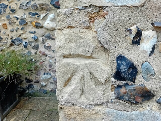
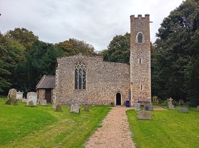
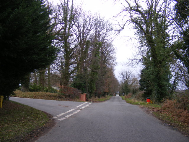
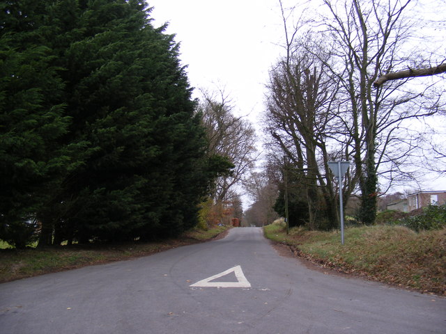
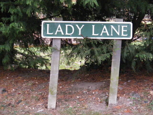
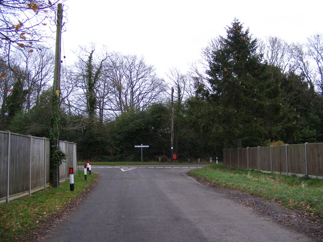
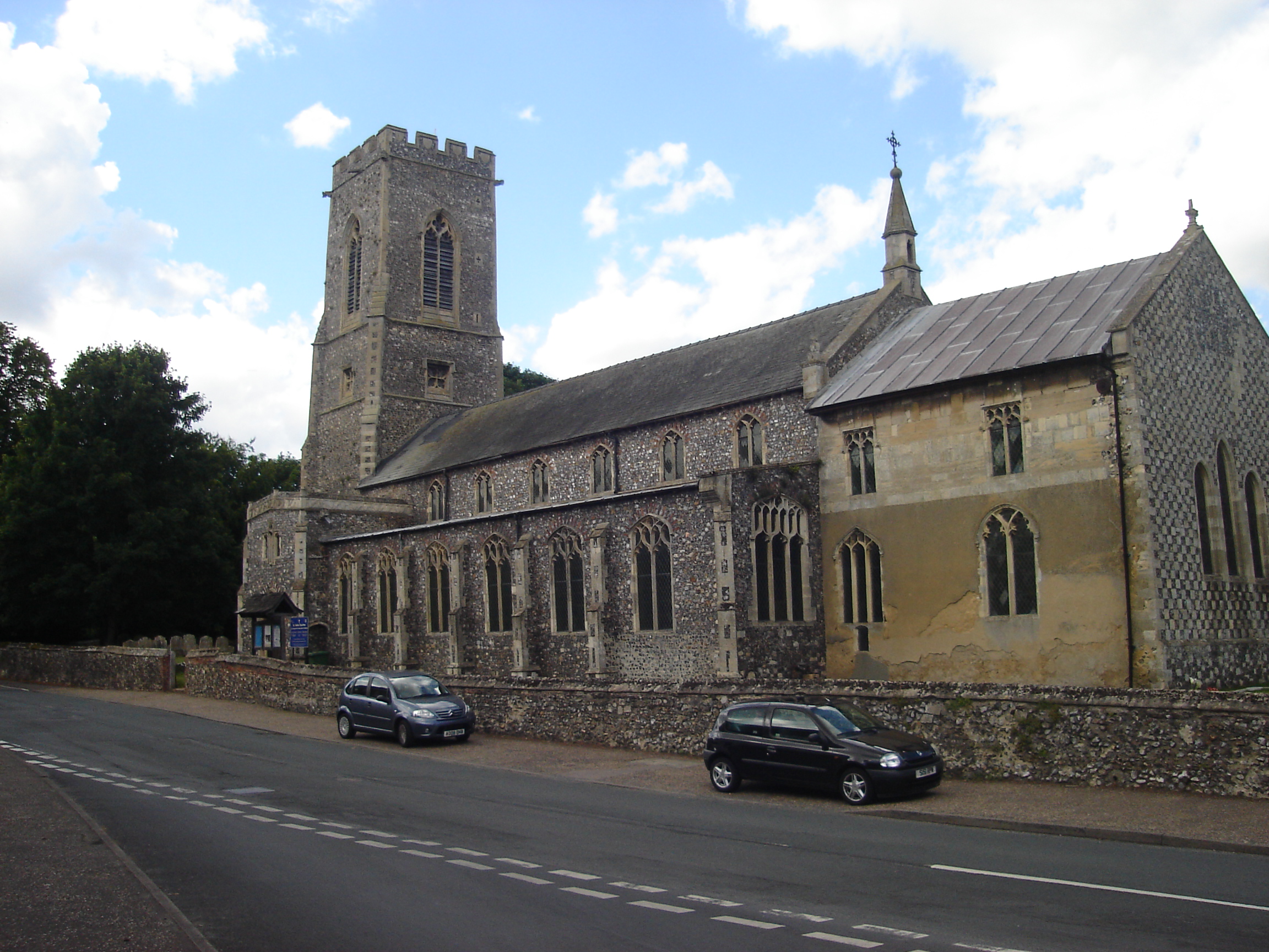
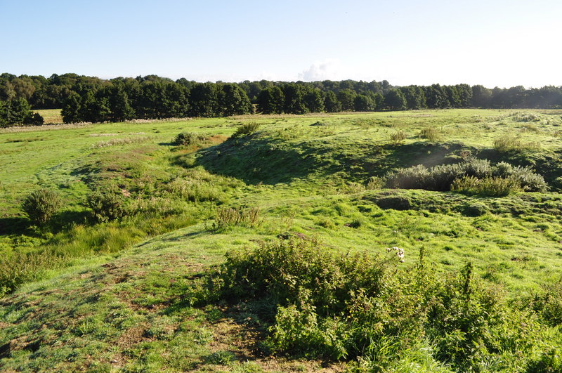
Hazel Hill Images
Images are sourced within 2km of 52.70523/1.2982887 or Grid Reference TG2217. Thanks to Geograph Open Source API. All images are credited.


Hazel Hill is located at Grid Ref: TG2217 (Lat: 52.70523, Lng: 1.2982887)
Administrative County: Norfolk
District: Broadland
Police Authority: Norfolk
What 3 Words
///player.sudden.first. Near Spixworth, Norfolk
Nearby Locations
Related Wikis

Frettenham
Frettenham is a village and civil parish in the English county of Norfolk. It is located 3.2 miles (5.1 km) west of Wroxham, and 5.7 miles (9.2 km) north...

Frettenham Windmill
Frettenham Mill is a Grade II listed tower mill at Frettenham, Norfolk, England which has been converted to residential accommodation. == History == Frettenham...

Hainford
Hainford (originally Haynford) is a village and civil parish in the English county of Norfolk. It covers an area of 6.94 km2 (2.68 sq mi) and had a population...

Hillside Animal Sanctuary
Hillside Animal Sanctuary, based in Frettenham, Norwich, and with a site at West Runton, North Norfolk, is the United Kingdom's largest home for different...
Horsham St Faith
Horsham St Faith is a village in Norfolk, England. The village lies close and to the east of the A140 road and is 5 miles (8.0 km) north of Norwich and...

Horsham St Faith and Newton St Faith
Horsham St Faith and Newton St Faith is a civil parish in the English county of Norfolk, consisting of the former parishes of Horsham St Faith and Newton...

Spixworth
Spixworth is a village and civil parish in the English county of Norfolk. The village lies close to the B1150 road and is 5 miles (8.0 km) north of Norwich...
Horsford Castle
Horsford Castle is situated in the village of Horsford, 6 miles to the north of the city of Norwich. == Details == Before the Norman conquest of England...
Nearby Amenities
Located within 500m of 52.70523,1.2982887Have you been to Hazel Hill?
Leave your review of Hazel Hill below (or comments, questions and feedback).