Chapel Hill
Hill, Mountain in Norfolk South Norfolk
England
Chapel Hill
Chapel Hill, Norfolk, is a small hill located in the county of Norfolk, England. Situated in the eastern part of the country, Norfolk is known for its picturesque landscapes and rich history. Chapel Hill is one of the many natural features that add to the charm of this region.
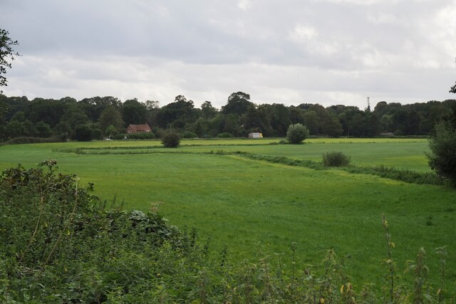
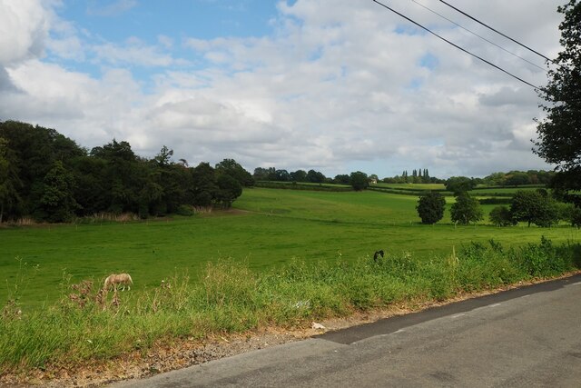
Rising approximately 50 meters above sea level, Chapel Hill offers a gentle ascent that provides visitors with a panoramic view of the surrounding countryside. Covered in lush green grass and dotted with a few trees, the hill is a popular spot for locals and tourists alike to enjoy a leisurely walk or a picnic while admiring the scenic beauty.
The name "Chapel Hill" is believed to have originated from the presence of a chapel that once stood at the top of the hill. Although the chapel no longer exists, the name has endured, becoming synonymous with the area. The hill is known for its peaceful ambiance, making it an ideal destination for those seeking a tranquil escape from the hustle and bustle of city life.
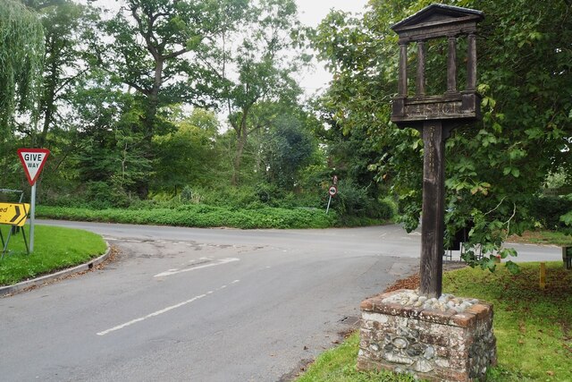
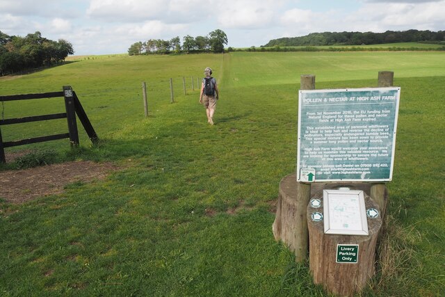
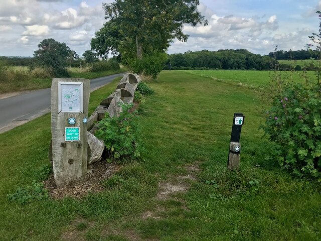
Chapel Hill is easily accessible, with several walking trails leading up to the summit. These trails cater to different fitness levels, making it an attraction suitable for people of all ages. Whether you're a nature enthusiast, history buff, or simply looking for a serene retreat, Chapel Hill in Norfolk offers a pleasant experience for everyone.
If you have any feedback on the listing, please let us know in the comments section below.
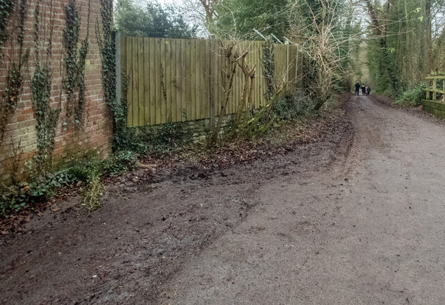
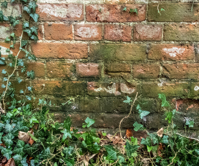
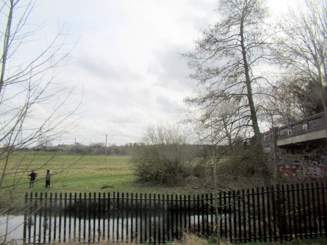
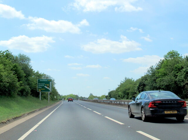
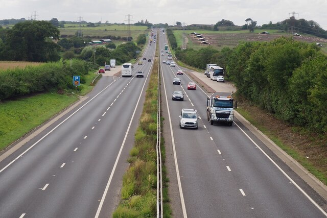
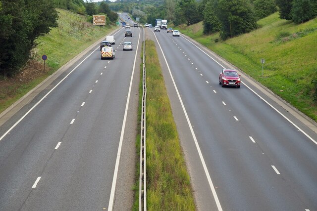
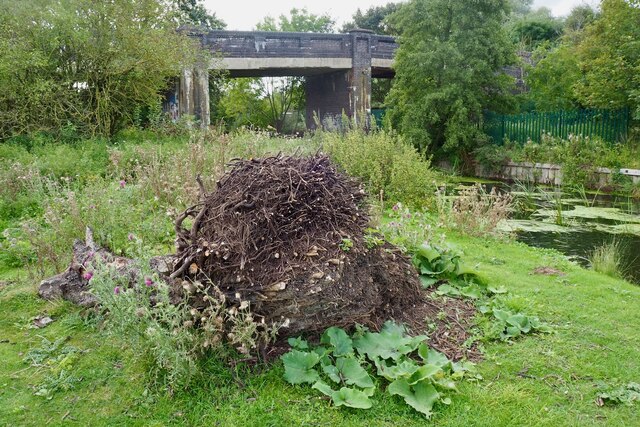
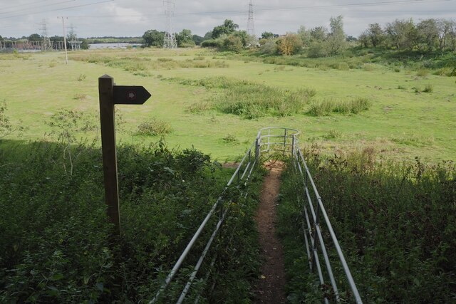
Chapel Hill Images
Images are sourced within 2km of 52.595111/1.2892518 or Grid Reference TG2204. Thanks to Geograph Open Source API. All images are credited.


Chapel Hill is located at Grid Ref: TG2204 (Lat: 52.595111, Lng: 1.2892518)
Administrative County: Norfolk
District: South Norfolk
Police Authority: Norfolk
What 3 Words
///spice.empty.craft. Near Cringleford, Norfolk
Nearby Locations
Related Wikis
University Technical College Norfolk
University Technical College Norfolk is a University Technical College in Old Hall Road, Norwich, with a focus on the engineering and health sectors.It...
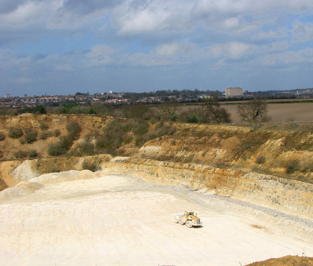
Caistor St Edmund Chalk Pit
Caistor St Edmund Chalk Pit is a 23.6-hectare (58-acre) geological Site of Special Scientific Interest south of Norwich in Norfolk. It is a Geological...

Caistor St Edmund
Caistor St Edmund is a village and former civil parish on the River Tas, now in the parish of Caistor St Edmund and Bixley, in the South Norfolk district...

Venta Icenorum
Venta Icenorum (Classical Latin: [ˈwɛnta ɪkeːˈnoːrũː], literally "marketplace of the Iceni") was the civitas or capital of the Iceni tribe, located at...
Brundall Church Fen
Brundall Church Fen is a 2.8-hectare (6.9-acre) Local Nature Reserve Norfolk. It is owned by Brundall Parish Council and managed by Brundall Parish...

Danby Wood
Danby Wood is a 3.9-hectare (9.6-acre) Local Nature Reserve on the southern outskirts of Norwich in Norfolk. It is owned and managed by Norwich City Council...

Keswick, South Norfolk
Keswick is a village and former civil parish, now in the parish of Keswick and Intwood, in the South Norfolk district, in the county of Norfolk, England...

Marston Marsh
Marston Marsh is a Local Nature Reserve in southwest Norwich, Norfolk, England. == References == == External links == "Map of Marston Marshes". Local Nature...
Nearby Amenities
Located within 500m of 52.595111,1.2892518Have you been to Chapel Hill?
Leave your review of Chapel Hill below (or comments, questions and feedback).