Grove Hill

Hill, Mountain in Kent Canterbury

England

Grove Hill

Preston Grange, Grove Road This was the same house at <a href="https://www.geograph.org.uk/photo/6419495">TR2461 : Preston Grange, Grove Road</a> before its construction has been completed. Preston Grange is the name, which has been given to the development.
Preston Grange, Grove Road Credit: John Baker

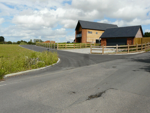
Grove Hill is a charming hill located in the county of Kent, England. Situated near the village of Benenden, this picturesque landscape offers breathtaking views and a tranquil atmosphere to all who visit. Although referred to as a hill, it stands at a modest height of around 200 meters, making it more of a gentle incline rather than a towering mountain.

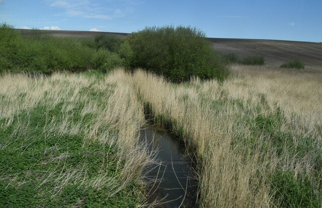
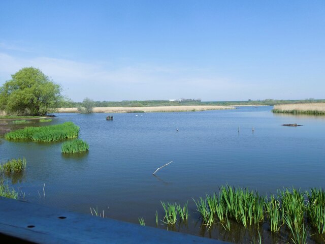
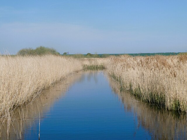
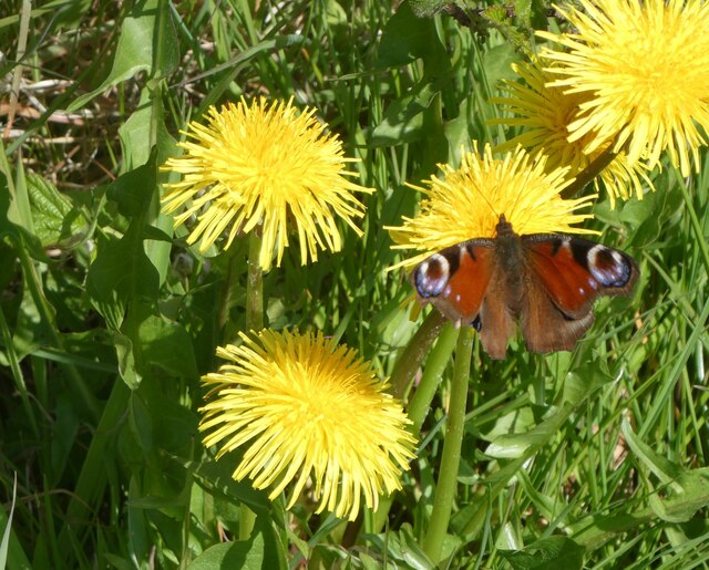
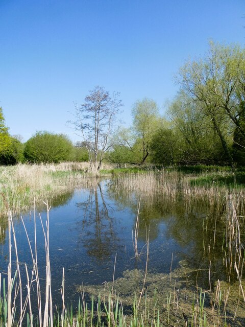
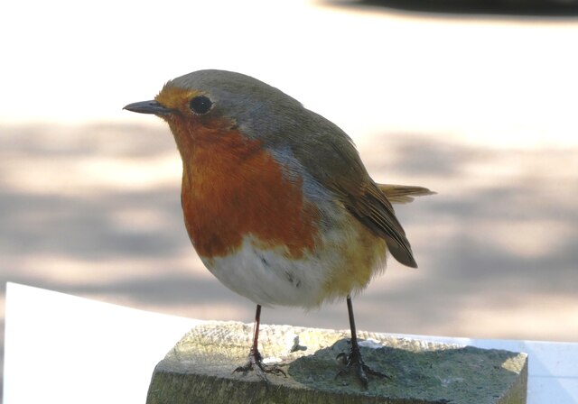
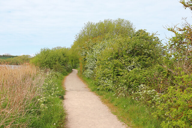
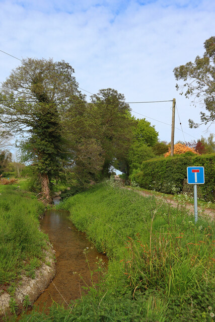
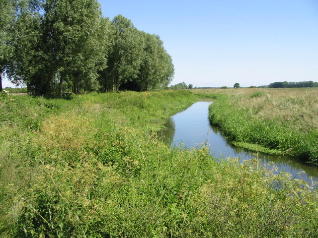
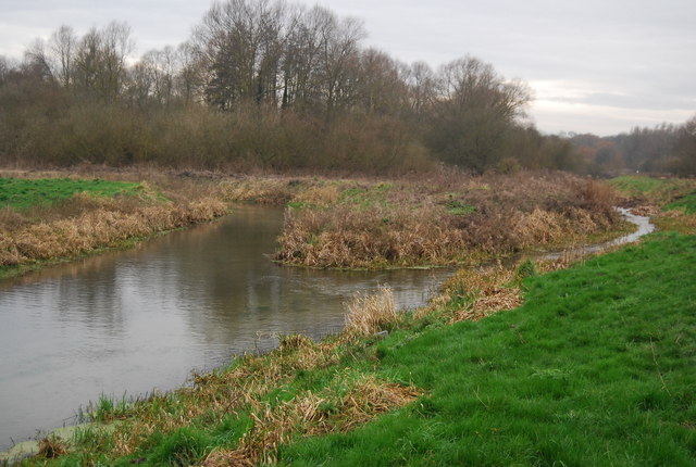
Covered in lush greenery, Grove Hill is famous for its dense woodland and sprawling meadows. The hill is home to a wide variety of flora and fauna, including oak, beech, and ash trees, as well as an array of wildflowers that add vibrant pops of color to the landscape. The diverse ecosystem attracts a range of bird species, making it a haven for birdwatchers and nature enthusiasts.

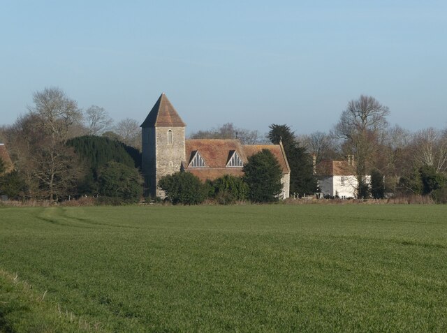
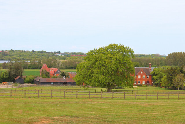
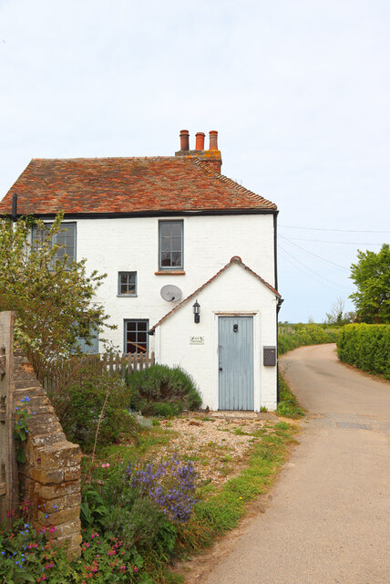
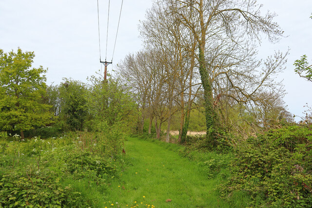
A network of footpaths and trails crisscrosses Grove Hill, offering visitors the opportunity to explore its beauty on foot. These paths lead to various viewpoints, allowing visitors to take in the breathtaking vistas of the surrounding countryside, including the rolling hills and picturesque villages that dot the landscape. On a clear day, one can even catch a glimpse of the English Channel in the distance.

Grove Hill is not only a haven for nature lovers but also a popular destination for outdoor activities such as hiking, picnicking, and photography. Its idyllic setting provides an excellent backdrop for those seeking a peaceful retreat or a scenic spot to capture memorable moments.

In conclusion, Grove Hill in Kent is a captivating hill that offers a sublime natural setting, stunning views, and a wealth of outdoor activities for visitors to enjoy.

If you have any feedback on the listing, please let us know in the comments section below.

Grove Hill Images

Images are sourced within 2km of 51.303741/1.1974411 or Grid Reference TR2260. Thanks to Geograph Open Source API. All images are credited.

Preston Grange, Grove Road This was the same house at <a href="https://www.geograph.org.uk/photo/6419495">TR2461 : Preston Grange, Grove Road</a> before its construction has been completed. Preston Grange is the name, which has been given to the development.
Preston Grange, Grove Road
This was the same house at TR2461 : Preston Grange, Grove Road before its construction has been completed. Preston Grange is the name, which has been given to the development.
Drainage channel
Drainage channel
St. Mildred's Church, Preston Viewed from the track south of the church and Preston Court. Grade I listed, early 13th century, remodelled and extended in the 14th century and restored in 1857 by William White.
St. Mildred's Church, Preston
Viewed from the track south of the church and Preston Court. Grade I listed, early 13th century, remodelled and extended in the 14th century and restored in 1857 by William White.
Old steam engine on Preston Court Farm There used to be a summer steam rally here but it looks as if the engines are no longer looked after.
Old steam engine on Preston Court Farm
There used to be a summer steam rally here but it looks as if the engines are no longer looked after.
Old steam engine on Preston Court Farm There used to be a summer steam rally here but it looks as if the engines are no longer looked after.
Old steam engine on Preston Court Farm
There used to be a summer steam rally here but it looks as if the engines are no longer looked after.
Entrance to Preston Court Farm
Cottages next to Preston Court Farm St Mildred's Church is in the background.
Cottages next to Preston Court Farm
St Mildred's Church is in the background.
Lake, Preston Court Preston Court is an early 19th century Grade II listed building.
Lake, Preston Court
Preston Court is an early 19th century Grade II listed building.
Stodmarsh National Nature Reserve View from Reedbed Hide on the south side of the reserve.
Stodmarsh National Nature Reserve
View from Reedbed Hide on the south side of the reserve.
Stodmarsh National Nature Reserve View from the footpath of one of the drainage ditches through the reedbeds.
Stodmarsh National Nature Reserve
View from the footpath of one of the drainage ditches through the reedbeds.
Stodmarsh National Nature reserve Dandelions and peacock butterfly by one of the footpaths.
Stodmarsh National Nature reserve
Dandelions and peacock butterfly by one of the footpaths.
Stodmarsh National Nature Reserve Southern end of a lake in the reserve.
Stodmarsh National Nature Reserve
Southern end of a lake in the reserve.
Robin in the car park of Stodmarsh National Nature Reserve Robins and blue tits are fed by visitors and, therefore, become extremely tame. They appear so friendly but, of course, it's cupboard love.
Robin in the car park of Stodmarsh National Nature Reserve
Robins and blue tits are fed by visitors and, therefore, become extremely tame. They appear so friendly but, of course, it's cupboard love.
Stodmarsh Court Farm Farm near Stodmarsh.
Stodmarsh Court Farm
Farm near Stodmarsh.
Lambkin Wall House in Stodmarsh.
Lambkin Wall
House in Stodmarsh.
Near Stodmarsh Church Power lines and trees.
Near Stodmarsh Church
Power lines and trees.
Lampen Wall Path in Stodmarsh Nature Reserve.
Lampen Wall
Path in Stodmarsh Nature Reserve.
Stream near Stodmarsh Stream at the road junction for Stodmarsh.
Stream near Stodmarsh
Stream at the road junction for Stodmarsh.
Show me another place!

Grove Hill is located at Grid Ref: TR2260 (Lat: 51.303741, Lng: 1.1974411)

Administrative County: Kent

District: Canterbury

Police Authority: Kent

What 3 Words

///cross.snoring.signed. Near Wingham, Kent

Nearby Locations

Grove Hill Wickhambreaux

Related Wikis

Preston Marshes

Preston Marshes is a 43.4-hectare (107-acre) biological Site of Special Scientific Interest east of Canterbury in Kent.This site in the valley of the River...

Stodmarsh

Stodmarsh is a small village in the civil parish of Wickhambreaux, in the Canterbury district, in east Kent, England. It is 5 miles to the east of Canterbury...

Wingham River

The River Wingham is a tributary of the Little Stour in Kent, England. The river runs from its source near Ash, west, through Wingham to the Little Stour...

Stodmarsh SSSI

Stodmarsh SSSI is a 623.2-hectare (1,540-acre) biological Site of Special Scientific Interest near Stodmarsh, north-east of Canterbury in Kent. Parts of...

Preston-next-Wingham

Preston or Preston-next-Wingham is a civil parish and village in the valley of the Little Stour in the Dover District of Kent, England. The village is...

Upstreet

Upstreet is a village in the civil parish of Chislet in Kent, England. It is in the local government district of Canterbury, and the electoral ward of...

Grove Ferry Picnic Area

The Grove Ferry Picnic Area is near Upstreet, in Kent, England, on the site of an old hand-drawn ferry that once crossed the River Stour here. The area...

Chislet Colliery Halt railway station

Chislet Colliery Halt was a minor station on the Ashford to Ramsgate line. It opened in September 1919 and closed in 1971. == History == Chislet Colliery...

Nearby Amenities

Located within 500m of 51.303741,1.1974411
Post Box
Collection Times: Mo-Fr 09:00; Sa 07:00
Operator: Royal Mail
Operator Wikidata: Q638098
Post Box Mounting: wooden_post
Post Box Type: lamp
Postal Code: CT3
Ref: CT3 311
Royal Cypher: EIIR
Royal Cypher Wikidata: Q33102113
Lat/Long: 51.3039402/1.1958472
The data included in this document is from www.openstreetmap.org. The data is made available under ODbL.

Have you been to Grove Hill?

Leave your review of Grove Hill below (or comments, questions and feedback).