Newton Park

Downs, Moorland in Norfolk Broadland

England

Newton Park

Buxton Road, Hainford Near Hainford Hall
Buxton Road, Hainford Credit: Geographer

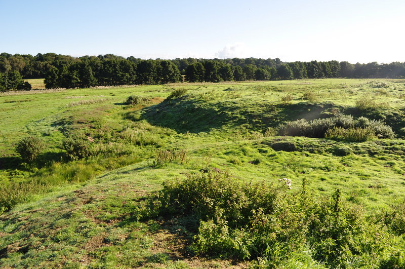
Newton Park is a picturesque rural area located in the county of Norfolk, England. Situated in the village of Newton, the park encompasses vast expanses of downs and moorland, offering visitors a tranquil and idyllic escape from the hustle and bustle of city life.

The downs of Newton Park are characterized by rolling hills covered in lush green grass, dotted with vibrant wildflowers during the warmer months. This landscape provides a perfect setting for leisurely walks, picnics, and outdoor activities. The downs also offer breathtaking panoramic views of the surrounding countryside, making it a popular spot for photographers and nature enthusiasts alike.

Adjacent to the downs lies the moorland, characterized by its heather-covered terrain and diverse wildlife. The moors are home to a variety of bird species, including skylarks and meadow pipits, providing a haven for birdwatchers. Visitors can also spot rabbits, deer, and other small mammals roaming freely in their natural habitat.

Newton Park is well-equipped with footpaths and trails, making it accessible for walkers and hikers of all abilities. The park also features designated picnic areas and benches, allowing visitors to relax and soak in the serenity of the surroundings. Additionally, there are facilities for outdoor sports such as cricket and football, providing opportunities for active recreation.

Overall, Newton Park in Norfolk offers a peaceful retreat for nature lovers, providing a harmonious blend of downs and moorland landscapes, abundant wildlife, and recreational opportunities.

If you have any feedback on the listing, please let us know in the comments section below.
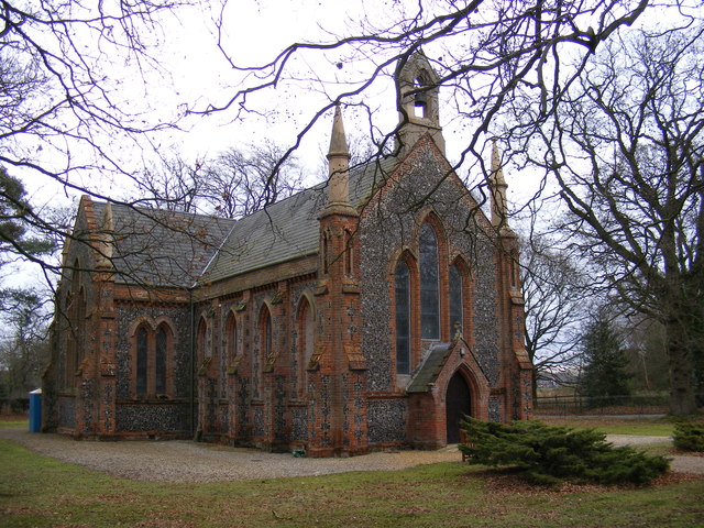
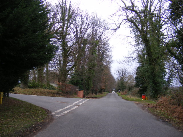
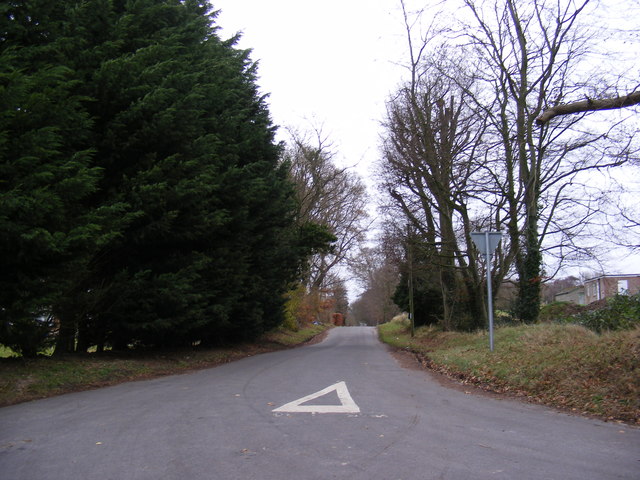
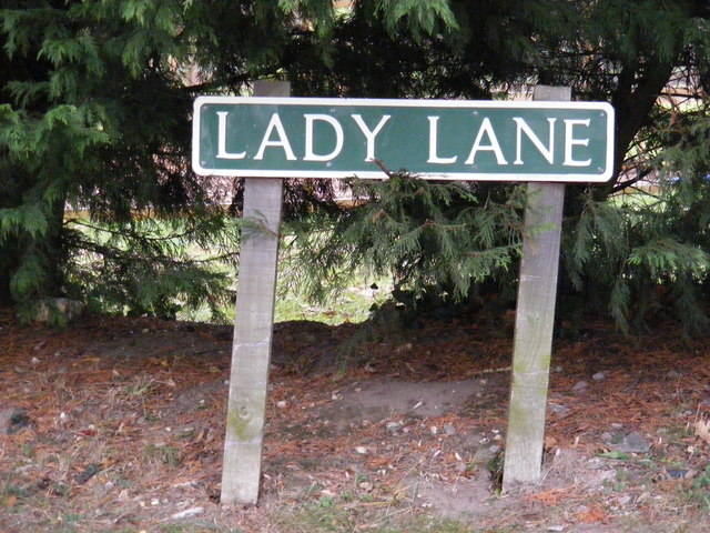
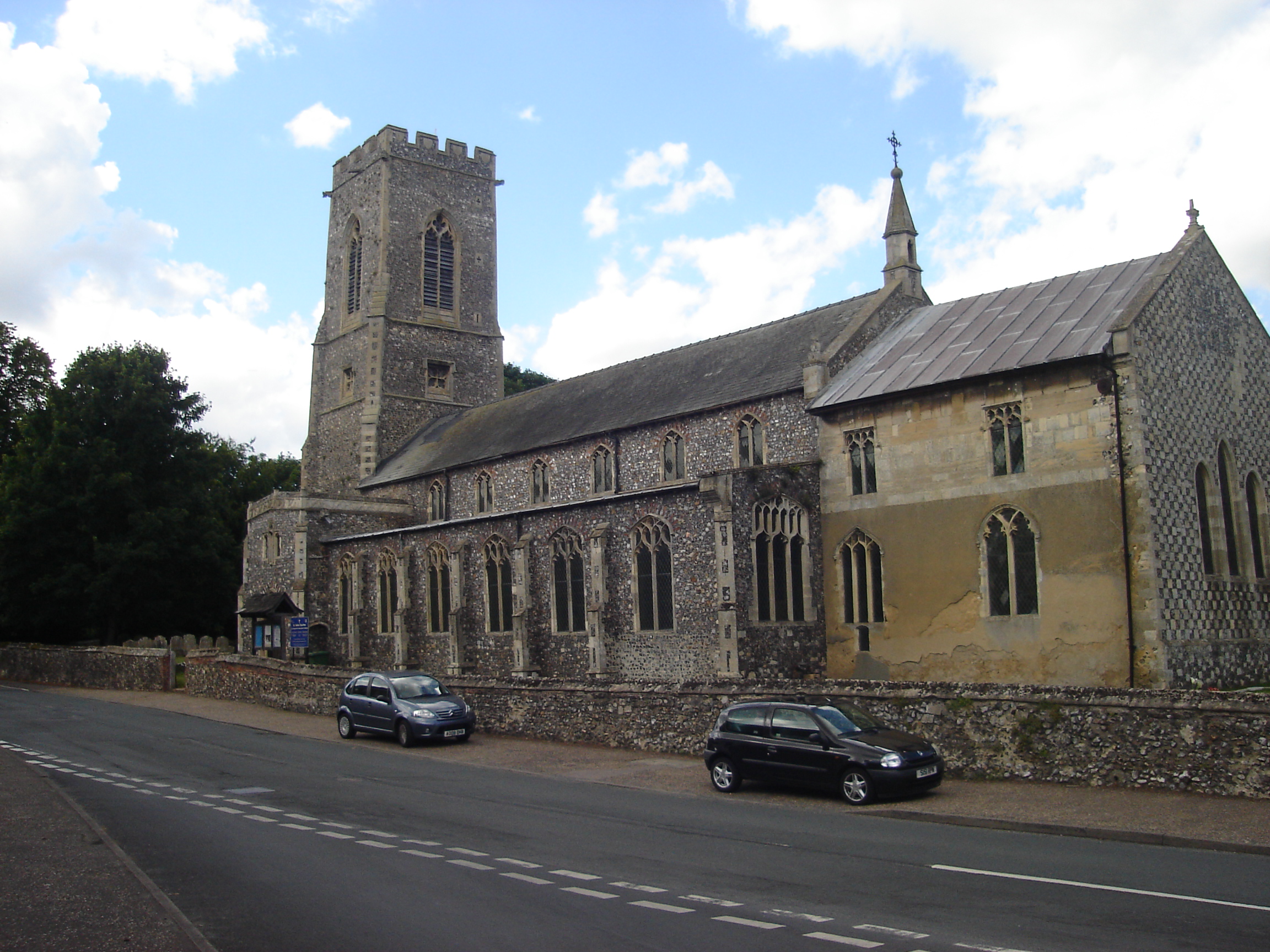
Newton Park Images

Images are sourced within 2km of 52.705265/1.2915396 or Grid Reference TG2217. Thanks to Geograph Open Source API. All images are credited.

Buxton Road, Hainford Near Hainford Hall
Buxton Road, Hainford
Near Hainford Hall
Buxton Road, Frettingham Near Hainford Hall
Buxton Road, Frettingham
Near Hainford Hall
Newton Road, Hainford At the junction with Dumbs Lane
Newton Road, Hainford
At the junction with Dumbs Lane
Dumbs Lane, Hainford At the junction with Newton Road
Dumbs Lane, Hainford
At the junction with Newton Road
Dumbs Lane sign At the junction with Newton Road
Dumbs Lane sign
At the junction with Newton Road
All Saints Church, Haynford Newton Road at the junction of Dumbs Lane
<span class="nowrap"><a title="http://www.norfolkchurches.co.uk/hainford/hainfordnew.htm" rel="nofollow ugc noopener" href="http://www.norfolkchurches.co.uk/hainford/hainfordnew.htm">Link</a><img style="margin-left:2px;" alt="External link" title="External link - shift click to open in new window" src="https://s1.geograph.org.uk/img/external.png" width="10" height="10"/></span>
All Saints Church, Haynford
Newton Road at the junction of Dumbs Lane LinkExternal link
All Saints Church, Haynford Newton Road at the junction of Dumbs Lane
All Saints Church, Haynford
Newton Road at the junction of Dumbs Lane
All Saints Church, Haynford Newton Road at the junction of Dumbs Lane
All Saints Church, Haynford
Newton Road at the junction of Dumbs Lane
Notice Board of All Saints Church, Haynford Newton Road at the junction of Dumbs Lane
Notice Board of All Saints Church, Haynford
Newton Road at the junction of Dumbs Lane
Hainford Primary Partnership School Newton Road
Hainford Primary Partnership School
Newton Road
Hainford Primary Partnership School Newton Road
Hainford Primary Partnership School
Newton Road
Hainford Primary Partnership School sign Newton Road
Hainford Primary Partnership School sign
Newton Road
Roadsign on Newton Road At the junction with Dumbs Lane
Roadsign on Newton Road
At the junction with Dumbs Lane
Newton Road, Hainford Looking towards the B1354 Waterloo Road near All Saints Church
Newton Road, Hainford
Looking towards the B1354 Waterloo Road near All Saints Church
All Saints Church, Haynford Newton Road at the junction of Dumbs Lane
<span class="nowrap"><a title="http://www.norfolkchurches.co.uk/hainford/hainfordnew.htm" rel="nofollow ugc noopener" href="http://www.norfolkchurches.co.uk/hainford/hainfordnew.htm">Link</a><img style="margin-left:2px;" alt="External link" title="External link - shift click to open in new window" src="https://s1.geograph.org.uk/img/external.png" width="10" height="10"/></span>
All Saints Church, Haynford
Newton Road at the junction of Dumbs Lane LinkExternal link
Newton Road, Hainford At the junction with Lady Lane
Newton Road, Hainford
At the junction with Lady Lane
Lady Lane, Hainford At the junction with Newton Road
Lady Lane, Hainford
At the junction with Newton Road
Lady Lane sign At the junction with Newton Road
Lady Lane sign
At the junction with Newton Road
Show me another place!

Newton Park is located at Grid Ref: TG2217 (Lat: 52.705265, Lng: 1.2915396)

Administrative County: Norfolk

District: Broadland

Police Authority: Norfolk

What 3 Words

///name.exam.force. Near Spixworth, Norfolk

Related Wikis

Hainford

Hainford (originally Haynford) is a village and civil parish in the English county of Norfolk. It covers an area of 6.94 km2 (2.68 sq mi) and had a population...

Horsham St Faith

Horsham St Faith is a village in Norfolk, England. The village lies close and to the east of the A140 road and is 5 miles (8.0 km) north of Norwich and...

Horsham St Faith and Newton St Faith

Horsham St Faith and Newton St Faith is a civil parish in the English county of Norfolk, consisting of the former parishes of Horsham St Faith and Newton...

Frettenham

Frettenham is a village and civil parish in the English county of Norfolk. It is located 3.2 miles (5.1 km) west of Wroxham, and 5.7 miles (9.2 km) north...

Frettenham Windmill

Frettenham Mill is a Grade II listed tower mill at Frettenham, Norfolk, England which has been converted to residential accommodation. == History == Frettenham...

Horsford Castle

Horsford Castle is situated in the village of Horsford, 6 miles to the north of the city of Norwich. == Details == Before the Norman conquest of England...

Hillside Animal Sanctuary

Hillside Animal Sanctuary, based in Frettenham, Norwich, and with a site at West Runton, North Norfolk, is the United Kingdom's largest home for different...

Spixworth

Spixworth is a village and civil parish in the English county of Norfolk. The village lies close to the B1150 road and is 5 miles (8.0 km) north of Norwich...

Nearby Amenities

Located within 500m of 52.705265,1.2915396
Post Office, adj
Naptan AtcoCode: 2900H478
Naptan Bearing: SW
Naptan BusStopType: CUS
Naptan CommonName: Post Office
Naptan Indicator: adj
Naptan Landmark: No. 56 Newton Street
Naptan Locality: Newton St Faith
Naptan NaptanCode: nfoawtgp
Naptan PlusbusZoneRef: NRCH
Naptan Street: Newton Street
Naptan Verified: no
Source: naptan_import
Lat/Long: 52.7063363/1.2853928
Post Office, opp
Naptan AtcoCode: 2900H479
Naptan Bearing: NE
Naptan BusStopType: CUS
Naptan CommonName: Post Office
Naptan Indicator: opp
Naptan Landmark: No. 56 Newton Street
Naptan Locality: Newton St Faith
Naptan NaptanCode: nfoawtgt
Naptan PlusbusZoneRef: NRCH
Naptan Street: Newton Street
Naptan Verified: no
Source: naptan_import
Lat/Long: 52.7064142/1.2855023
Bus Stop
Fairholme Road, adj
Naptan AtcoCode: 2900H480
Naptan Bearing: SW
Naptan CommonName: Fairholme Road
Naptan Indicator: adj
Naptan Landmark: Bus Shelter
Naptan Locality: Newton St Faith
Naptan NaptanCode: nfogmtaj
Naptan Street: Newton Street
Naptan Verified: no
Source: naptan_import
Lat/Long: 52.707274/1.2895205
Bus Stop
Fairholme Road, opp
Naptan AtcoCode: 2900H4801
Naptan Bearing: NE
Naptan CommonName: Fairholme Road
Naptan Indicator: opp
Naptan Locality: Newton St Faith
Naptan NaptanCode: nfogmtam
Naptan Street: Newton Road
Naptan Verified: no
Source: naptan_import
Lat/Long: 52.7077345/1.2901031
Traffic Calming: hump
Lat/Long: 52.7066261/1.2901629
Traffic Calming: hump
Lat/Long: 52.7062453/1.2909024
Traffic Calming: hump
Lat/Long: 52.7070877/1.2893046
Grit Bin
Lat/Long: 52.70472/1.292586
Traffic Calming: hump
Lat/Long: 52.7052236/1.2906361
Traffic Calming: hump
Lat/Long: 52.7055391/1.2913628
Traffic Calming: hump
Lat/Long: 52.7057667/1.2916675
Line Attachment: suspension
Material: wood
Power: pole
Lat/Long: 52.7019191/1.2912919
Line Attachment: anchor
Material: wood
Power: pole
Lat/Long: 52.7028031/1.2908906
Line Attachment: suspension
Material: wood
Power: pole
Lat/Long: 52.7010992/1.2916627
Power: pole
Lat/Long: 52.7087198/1.2950671
Power: pole
Lat/Long: 52.7071808/1.2972155
Newton St Faith
Place: village
Wikidata: Q23900695
Lat/Long: 52.7057635/1.2869286
The data included in this document is from www.openstreetmap.org. The data is made available under ODbL.

Have you been to Newton Park?

Leave your review of Newton Park below (or comments, questions and feedback).