Balls' Green
Downs, Moorland in Norfolk South Norfolk
England
Balls' Green
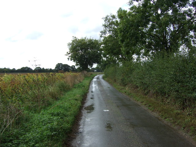
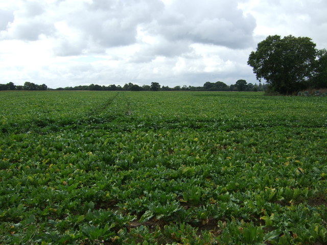
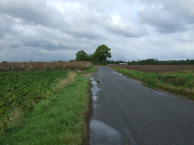
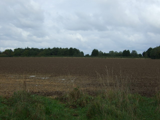
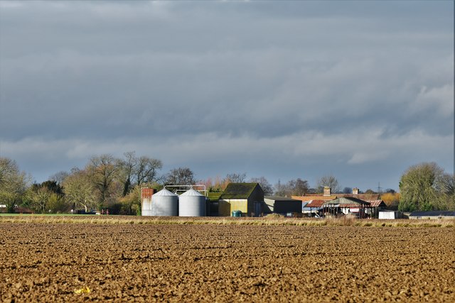
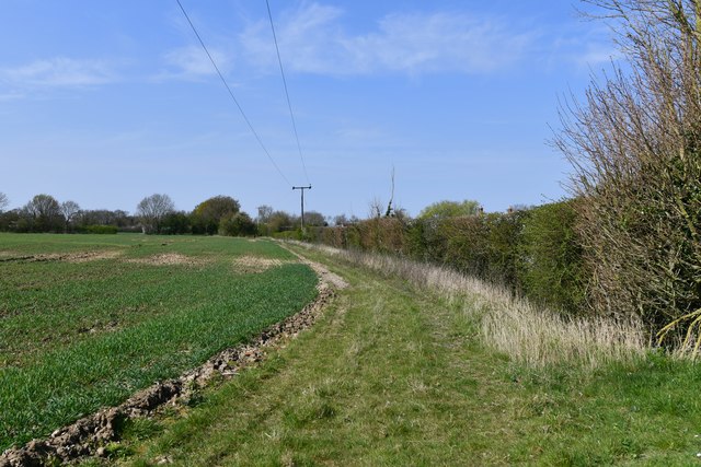
Balls' Green is a small village located in the county of Norfolk, England. Situated in the heart of the Norfolk Downs, this picturesque village is surrounded by breathtaking natural beauty, including rolling hills, verdant meadows, and lush countryside. The village derives its name from the prominent Balls family, who were once prominent landowners in the area.
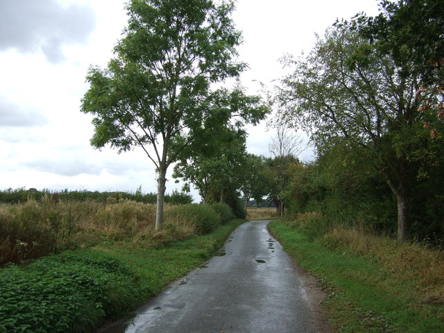
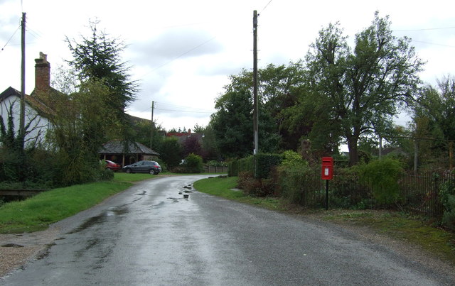
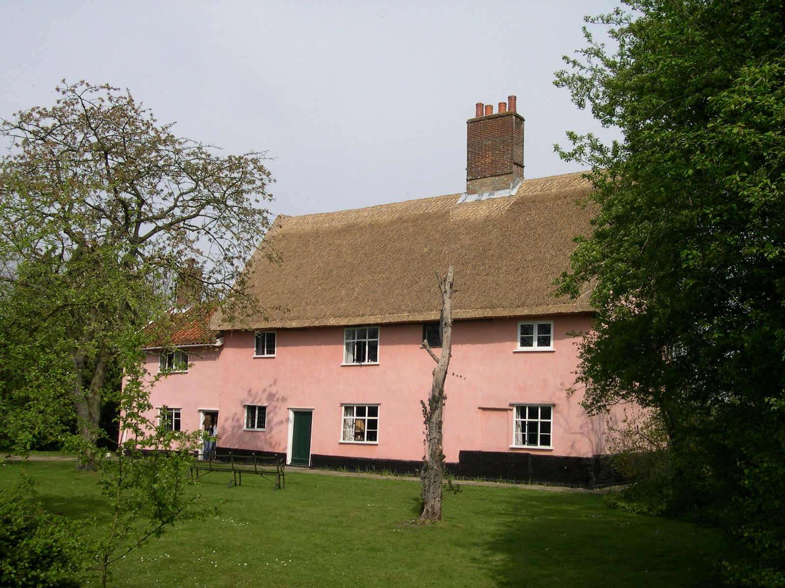
The village of Balls' Green is a quintessential English village, with its quaint thatched cottages, charming village green, and a close-knit community. The village is known for its peaceful and idyllic atmosphere, making it an ideal destination for those seeking a tranquil retreat from the hustle and bustle of city life.
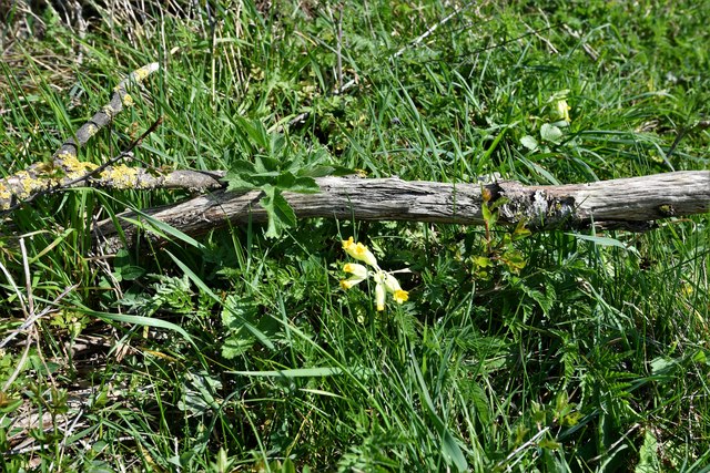
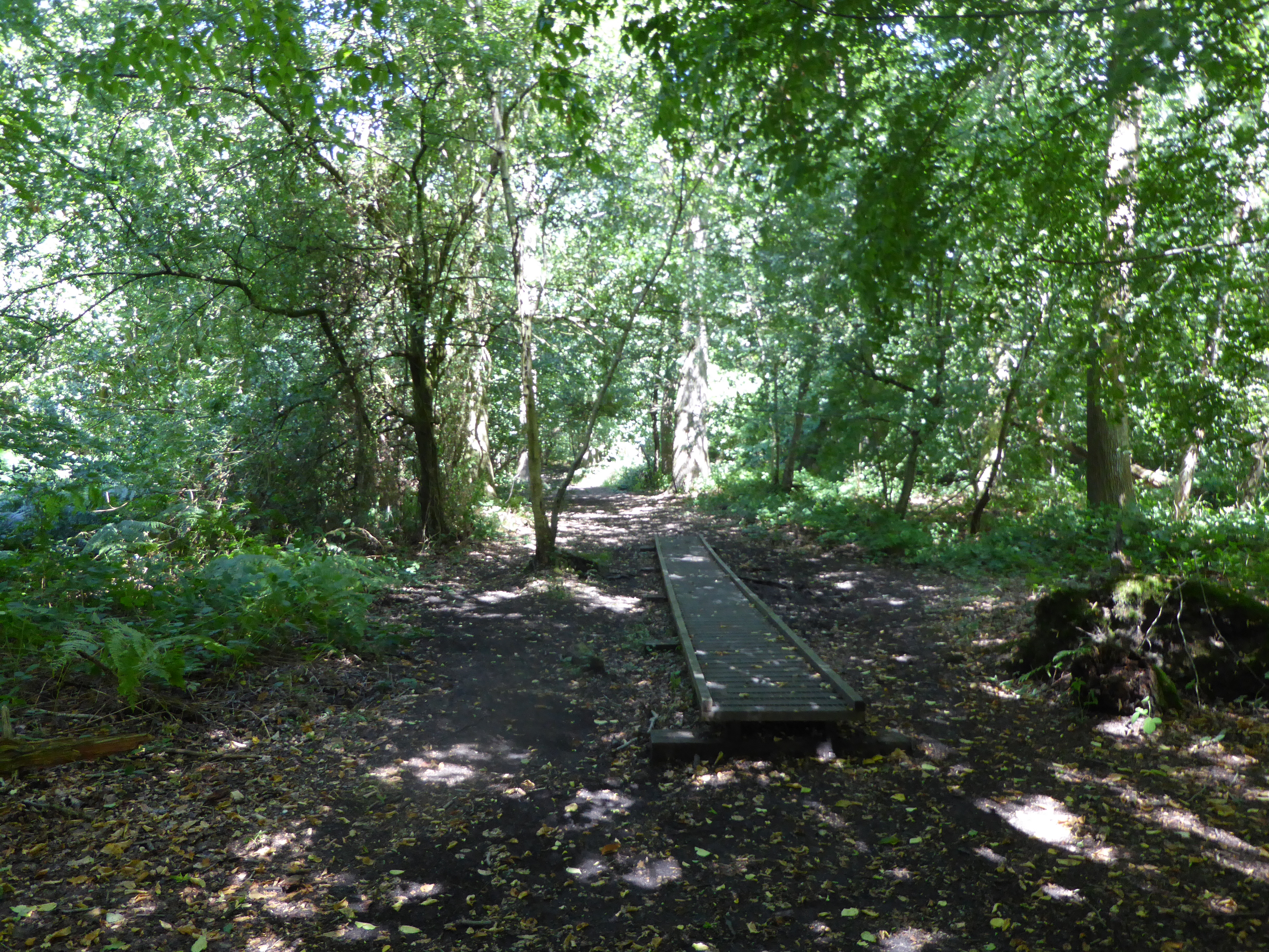
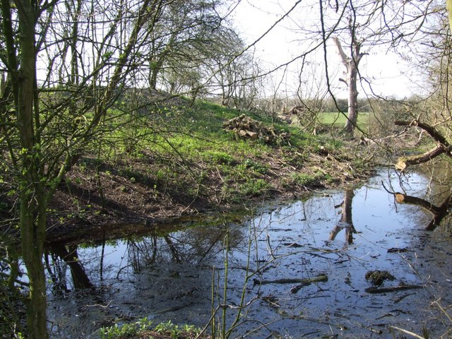
The surrounding Norfolk Downs offer ample opportunities for outdoor activities such as hiking, cycling, and horseback riding. The undulating landscape provides stunning panoramic views, with the possibility of spotting local wildlife such as deer, rabbits, and various species of birds.
In addition to its natural beauty, Balls' Green is also known for its rich history. The village dates back several centuries, and historical landmarks such as St. Mary's Church, which showcases beautiful architecture and intricate stained glass windows, serve as a testament to its past.
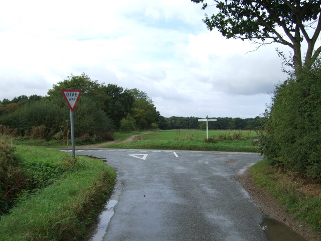
Despite its small size, Balls' Green is well-connected to neighboring towns and cities, with easy access to major transport links. This allows residents and visitors to enjoy the tranquility of village life while still having convenient access to amenities and services.
Overall, Balls' Green in Norfolk is a charming village that offers a peaceful retreat in the heart of nature, making it an appealing destination for those seeking a slower pace of life and a connection with the natural world.
If you have any feedback on the listing, please let us know in the comments section below.
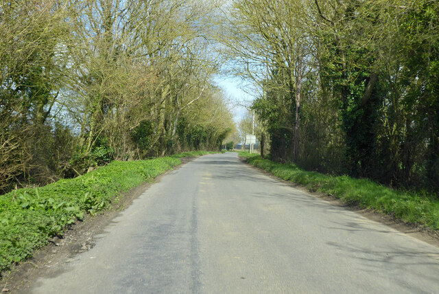
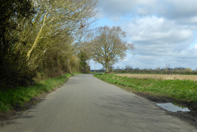
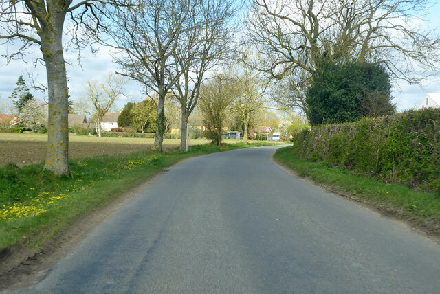
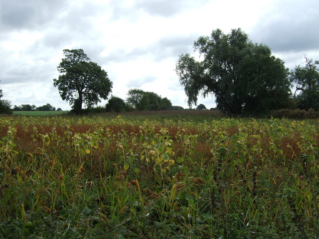
Balls' Green Images
Images are sourced within 2km of 52.464083/1.2785249 or Grid Reference TM2290. Thanks to Geograph Open Source API. All images are credited.
Balls' Green is located at Grid Ref: TM2290 (Lat: 52.464083, Lng: 1.2785249)
Administrative County: Norfolk
District: South Norfolk
Police Authority: Norfolk
What 3 Words
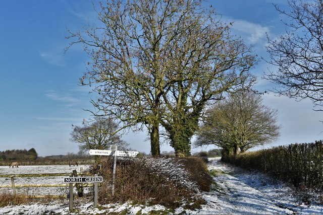
///convey.widget.responds. Near Long Stratton, Norfolk
Nearby Locations
Related Wikis

Shelton Hall (Norfolk)
Shelton Hall is a large estate in the village of Shelton, Norfolk, England. The estate has around 72 acres (290,000 m2) of surrounding fields, the names...

Shelton and Hardwick
Shelton and Hardwick is a civil parish in South Norfolk, England, made up of the villages of Shelton and Hardwick. It lies about 3 km south-east of Long...

Fritton Common, Morningthorpe
Fritton Common, Morningthorpe is a 20.5-hectare (51-acre) biological Site of Special Scientific Interest east of Long Stratton in Norfolk.This damp acidic...
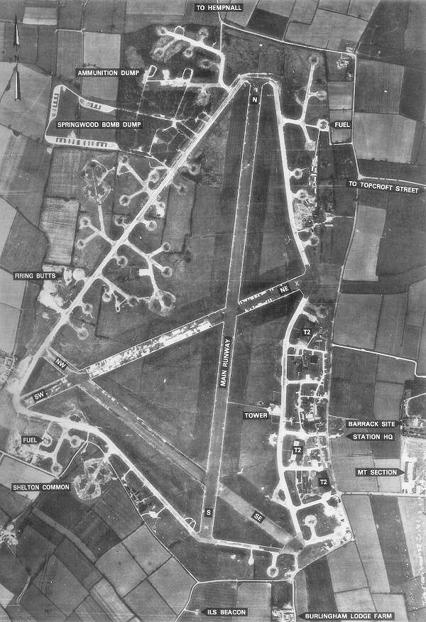
RAF Hardwick
Royal Air Force Hardwick or more simply RAF Hardwick is a former Royal Air Force station located between the Norfolk villages of Topcroft and Hardwick...
Pulham Market Big Wood
Pulham Market Big Wood is a 4.7-hectare (12-acre) biological Site of Special Scientific Interest south of Long Stratton in Norfolk.This ancient coppice...
Manor Farm, Pulham Market
Manor Farm, a property of the Landmark Trust, is at Pulham Market near the town of Diss, in Norfolk, England. The house is a Grade II listed building....
Denton Castle
Denton Castle is a motte and bailey castle built in the village of Denton, Norfolk, England. == History == Denton Castle was built after 1088, following...

Long Stratton
Long Stratton is a town and civil parish in Norfolk, England. It historically consisted of two villages; the larger, Stratton St. Mary, is to the south...
Nearby Amenities
Located within 500m of 52.464083,1.2785249Have you been to Balls' Green?
Leave your review of Balls' Green below (or comments, questions and feedback).