Davey Hill
Hill, Mountain in Norfolk North Norfolk
England
Davey Hill

Davey Hill, located in Norfolk, England, is a small hill that offers stunning panoramic views of the surrounding countryside. Situated near the village of Corpusty, this hill is a popular destination for nature enthusiasts and hikers.
Standing at an elevation of approximately 100 meters, Davey Hill is not an exceptionally tall peak, but it provides a unique vantage point from which visitors can admire the picturesque landscape. Its gentle slopes are covered in lush green grass and are dotted with wildflowers during the spring and summer months. The hill is also home to several species of trees, including oak and beech, which add to its natural beauty.
The top of Davey Hill offers breathtaking views of the Norfolk countryside, with rolling hills, meandering rivers, and charming villages stretching out as far as the eye can see. On a clear day, visitors can even catch a glimpse of the North Sea in the distance. The tranquil atmosphere and idyllic surroundings make it a perfect spot for picnics or simply enjoying a peaceful moment in nature.
Access to Davey Hill is relatively easy, with well-marked footpaths leading to the summit. The hill is part of a larger network of walking trails, allowing visitors to explore the surrounding area further. There are also benches and picnic tables available for those who wish to take a break and soak in the stunning views.
Overall, Davey Hill in Norfolk is a hidden gem that showcases the natural beauty of the region. Its panoramic views and serene atmosphere make it a must-visit destination for nature lovers and those seeking a peaceful escape.
If you have any feedback on the listing, please let us know in the comments section below.
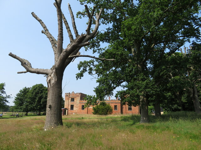
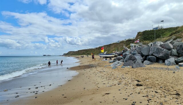
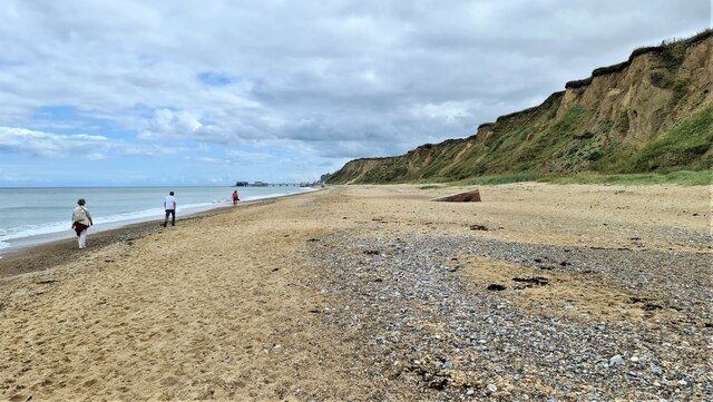
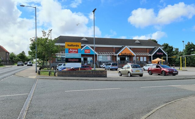
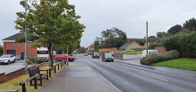
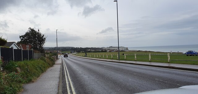
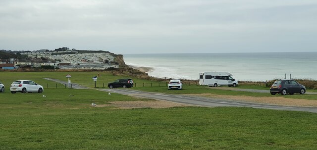
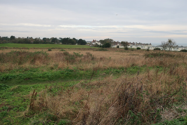
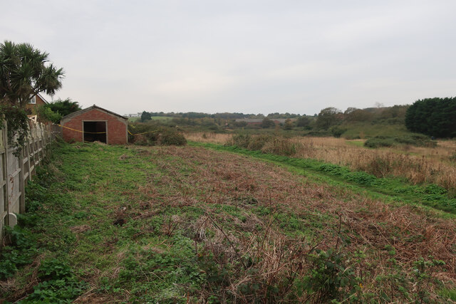
Davey Hill Images
Images are sourced within 2km of 52.92258/1.2698 or Grid Reference TG1941. Thanks to Geograph Open Source API. All images are credited.


Davey Hill is located at Grid Ref: TG1941 (Lat: 52.92258, Lng: 1.2698)
Administrative County: Norfolk
District: North Norfolk
Police Authority: Norfolk
What 3 Words
///eyeliner.update.fortunate. Near Cromer, Norfolk
Nearby Locations
Related Wikis
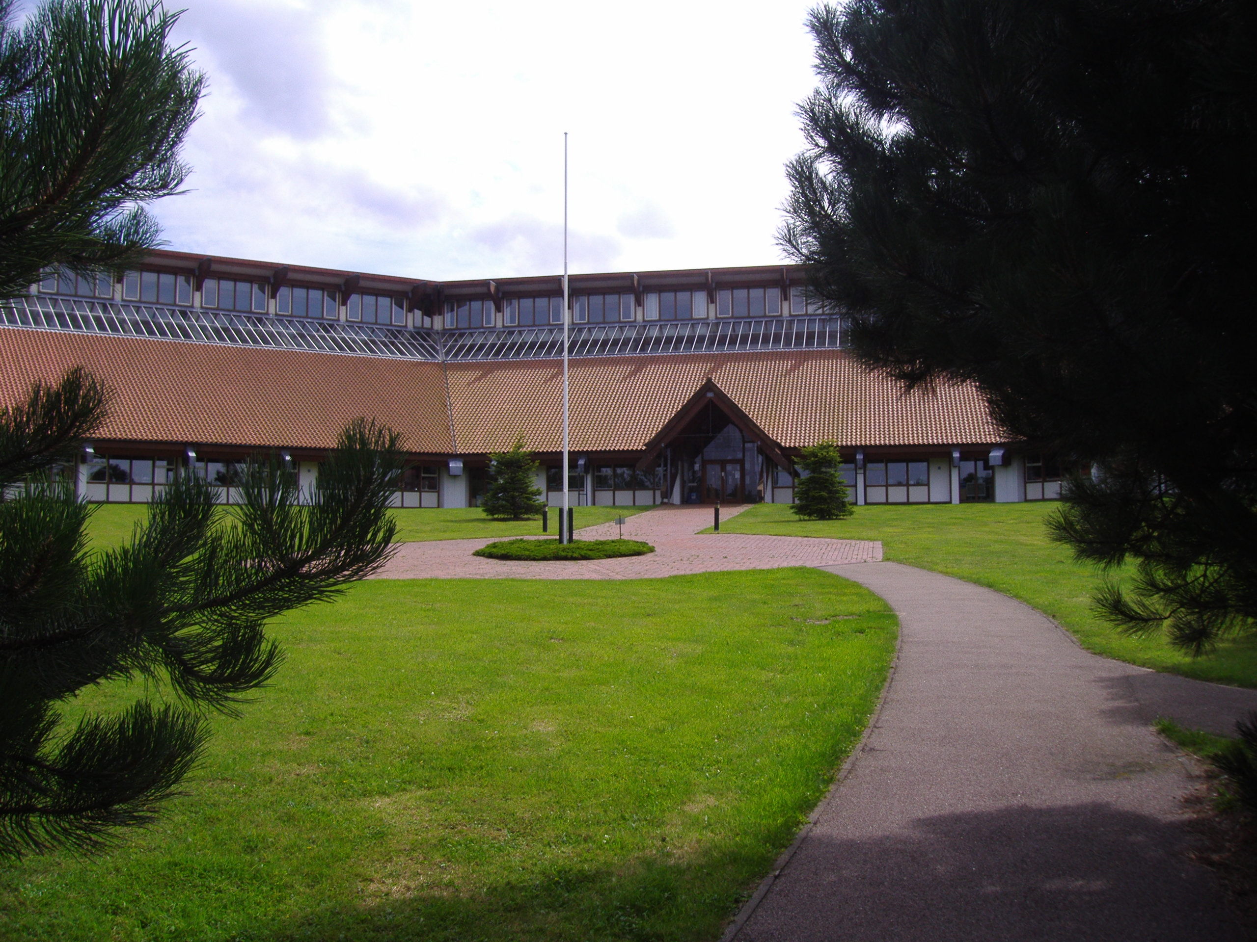
North Norfolk District Council Headquarters
North Norfolk District Council Headquarters is located in Holt road in a prominent position south of the town of Cromer in the English county of Norfolk...

East Runton Windmill
East Runton Windmill is a grade II listed tower mill at East Runton, Norfolk, England which has been converted to residential accommodation. == History... ==
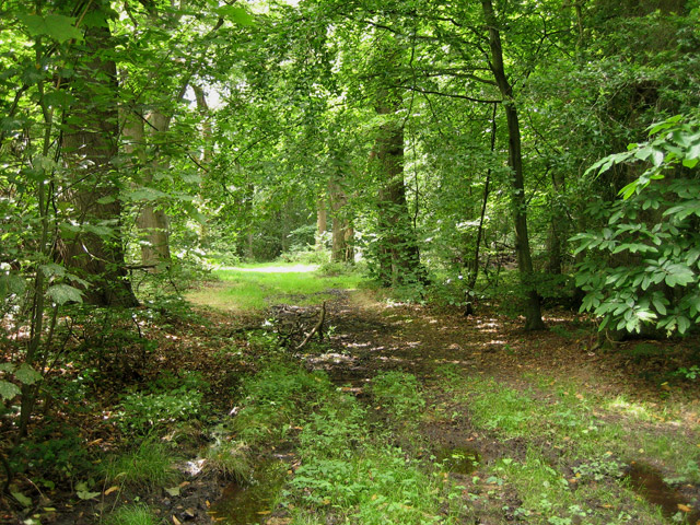
Felbrigg Woods
Felbrigg Woods is a 164.6-hectare (407-acre) biological Site of Special Scientific Interest south-west of Cromer in Norfolk. It is the main part of the...
Beacon Hill, Norfolk
Beacon Hill is the highest point in the English county of Norfolk. The hill is located 0.75 miles (1.2 km) south of the village of West Runton on the North...

Felbrigg
Felbrigg is a village and civil parish in the English county of Norfolk. The village is 1.7 miles (2.7 km) south-west of Cromer and 20 miles (32 km) north...
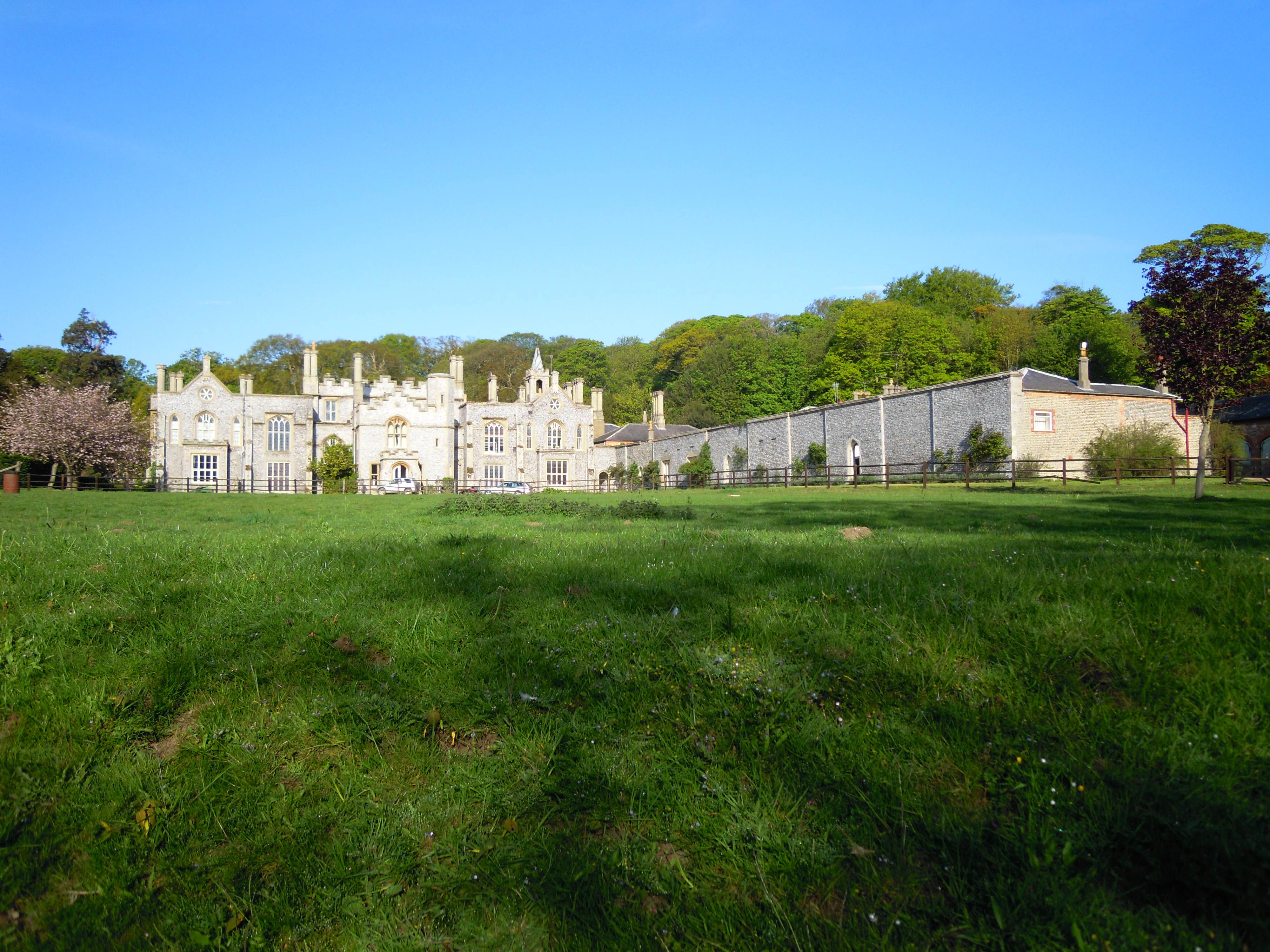
Cromer Hall
Cromer Hall is a country house located one mile south of Cromer on Holt Road, in the English county of Norfolk. The present house was built in 1829 by...

East Runton Cliffs
East Runton Cliffs is a 20.6-hectare (51-acre) geological Site of Special Scientific Interest west of Cromer in Norfolk. It is a Geological Conservation...

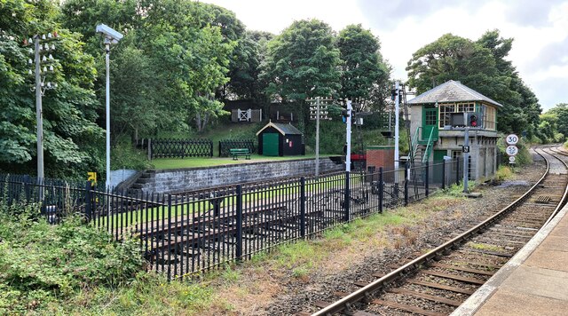
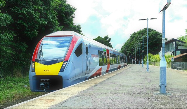
Cromer railway station
Cromer is a railway station in the English county of Norfolk. Because the Midland and Great Northern Joint Railway (M&GNJR) line approached Cromer from...
Nearby Amenities
Located within 500m of 52.92258,1.2698Have you been to Davey Hill?
Leave your review of Davey Hill below (or comments, questions and feedback).