Fernando Plantation

Wood, Forest in Norfolk North Norfolk

England

Fernando Plantation

Holt Road, Cromer
Holt Road, Cromer Credit: Helen Steed

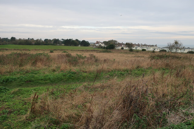
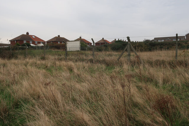
Fernando Plantation, situated in Norfolk, is a stunning woodland area known for its lush greenery and serene atmosphere. Spread across a vast expanse, the plantation is a haven for nature enthusiasts and those seeking a tranquil escape from the hustle and bustle of everyday life.

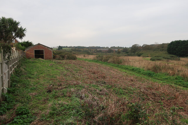
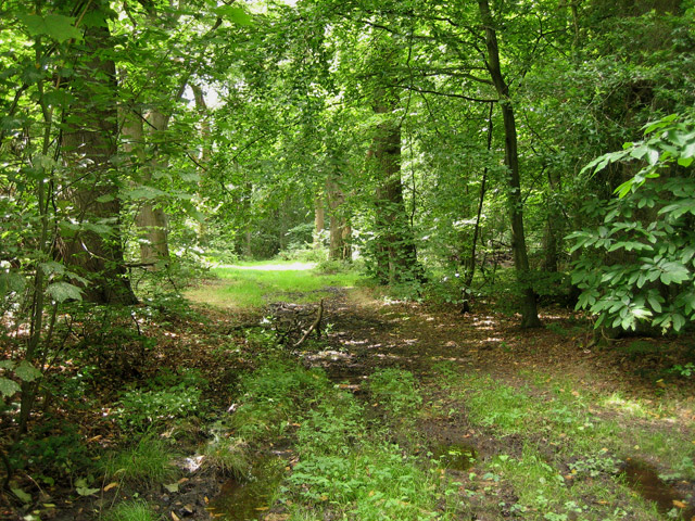
The plantation is primarily composed of dense woodlands, boasting a diverse range of tree species. Towering oak, beech, and pine trees dominate the landscape, creating a picturesque setting that is ideal for leisurely walks or picnics. The forest floor is covered in a lush carpet of ferns, wildflowers, and moss, adding to the enchanting ambiance of the area.

Fernando Plantation is also home to a variety of wildlife, making it a popular spot for birdwatchers and nature photographers. Visitors may catch glimpses of native birds such as woodpeckers, owls, and various species of songbirds. Squirrels, rabbits, and deer are also commonly spotted within the plantation.

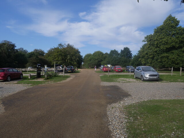
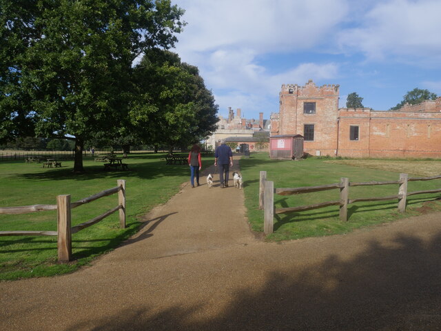
The plantation offers several well-maintained walking trails that wind through the woods, allowing visitors to explore the area at their own pace. These trails cater to different levels of fitness, ensuring that everyone can enjoy the beauty of the plantation. Additionally, there are designated picnic areas and benches strategically placed throughout the plantation, providing visitors with opportunities to relax and soak in the peaceful ambiance.

Fernando Plantation, with its verdant woodlands, diverse wildlife, and tranquil atmosphere, is a true gem in Norfolk. Whether you are a nature lover, outdoor enthusiast, or simply seeking solace in nature, this plantation offers an idyllic escape from the urban chaos.

If you have any feedback on the listing, please let us know in the comments section below.

Fernando Plantation Images

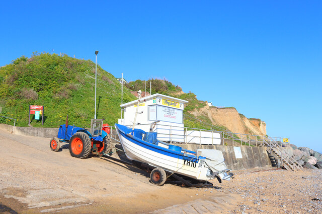
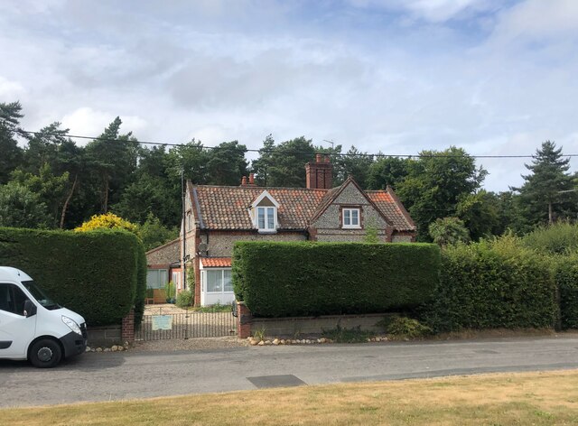
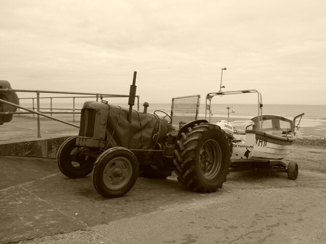
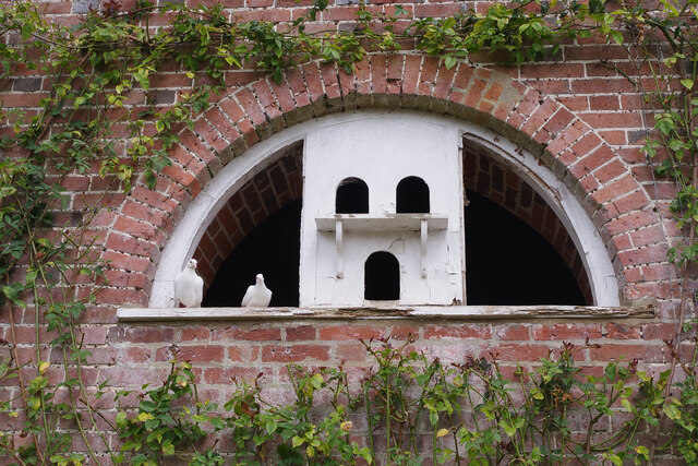
Images are sourced within 2km of 52.925474/1.2633514 or Grid Reference TG1941. Thanks to Geograph Open Source API. All images are credited.

Holt Road, Cromer
Holt Road, Cromer
Holt Road, Cromer
Holt Road, Cromer
Runton Road, Cromer
Runton Road, Cromer
Car park off Runton Road, Cromer
Field on the edge of Cromer
Open ground by Runton Road
Old entrance off Runton Road
East Runton Beach Lifeguard station at East Runton.
East Runton Beach
Lifeguard station at East Runton.
House on Holt Road, Felbrigg
Old tractor and fishing boat at East Runton
Felbrigg Hall - walled garden Conference pears grow up against the west wall of the garden.
Felbrigg Hall - walled garden
Conference pears grow up against the west wall of the garden.
Felbrigg Hall - walled garden As befits a major National Trust property, the walled garden at Felbrigg is well-stocked and immaculately maintained. The scene is overlooked by the dovecote.
Felbrigg Hall - walled garden
As befits a major National Trust property, the walled garden at Felbrigg is well-stocked and immaculately maintained. The scene is overlooked by the dovecote.
Felbrigg Hall - the dovecote The dovecote at Felbrigg Hall is believed to date from around 1750 and was renovated in 1923. Originally, the birds would have provided a source of fresh meat during the winter months and their droppings were used as manure for the garden. In more recent times dovecotes became primarily an ornamental feature.
Felbrigg Hall - the dovecote
The dovecote at Felbrigg Hall is believed to date from around 1750 and was renovated in 1923. Originally, the birds would have provided a source of fresh meat during the winter months and their droppings were used as manure for the garden. In more recent times dovecotes became primarily an ornamental feature.
Felbrigg Hall - walled garden Looking across the immaculately maintained walled garden to the 18th century dovecote.
Felbrigg Hall - walled garden
Looking across the immaculately maintained walled garden to the 18th century dovecote.
Felbrigg Hall - walled garden The lily pond forms the centrepiece of the walled garden at Felbrigg with the 18th century dovecote behind.
Felbrigg Hall - walled garden
The lily pond forms the centrepiece of the walled garden at Felbrigg with the 18th century dovecote behind.
Felbrigg Hall car park
Heading off with their dogs
Show me another place!

Fernando Plantation is located at Grid Ref: TG1941 (Lat: 52.925474, Lng: 1.2633514)

Administrative County: Norfolk

District: North Norfolk

Police Authority: Norfolk

What 3 Words

///chemistry.market.scorching. Near Cromer, Norfolk

Related Wikis

Beacon Hill, Norfolk

Beacon Hill is the highest point in the English county of Norfolk. The hill is located 0.75 miles (1.2 km) south of the village of West Runton on the North...

East Runton Windmill

East Runton Windmill is a grade II listed tower mill at East Runton, Norfolk, England which has been converted to residential accommodation. == History... ==

Runton

Runton is a civil parish in the English county of Norfolk consisting of the villages of East Runton and West Runton. It covers an area of 5.44 km2 (2.10...

Felbrigg Woods

Felbrigg Woods is a 164.6-hectare (407-acre) biological Site of Special Scientific Interest south-west of Cromer in Norfolk. It is the main part of the...

Nearby Amenities

Located within 500m of 52.925474,1.2633514
Barrier: kissing_gate
Bicycle: no
Foot: designated
Hiking: yes
Information: route_marker
Inscription: Circular Walk
Material: wood
Tourism: information
Lat/Long: 52.9291831/1.2605609
Barrier: kissing_gate
Bicycle: no
Foot: designated
Hiking: yes
Information: route_marker
Inscription: Circular Walk
Material: wood
Tourism: information
Lat/Long: 52.9287239/1.2625229
Abb's Common
Place: locality
Lat/Long: 52.9285369/1.2617201
Bluebell Cottage
Place: isolated_dwelling
Lat/Long: 52.9245689/1.259704
Manor Farm
Place: farm
Lat/Long: 52.928525/1.2685591
Manor Farm
Phone: +44 1263512858
Tourism: camp_site
Lat/Long: 52.9286247/1.2680668
Power: pole
Lat/Long: 52.9232518/1.2578514
Power: pole
Lat/Long: 52.9242665/1.2603727
Power: pole
Lat/Long: 52.9239706/1.2588505
Power: pole
Lat/Long: 52.9245737/1.2619887
Power: pole
Lat/Long: 52.9248365/1.2634478
Power: pole
Lat/Long: 52.9251672/1.265265
Power: pole
Lat/Long: 52.9261826/1.2706757
Power: pole
Lat/Long: 52.9258544/1.2689209
Colour: yellow
Location: underground
Marker: pedestal
Material: stone
Utility: gas
Lat/Long: 52.9278537/1.2674356
Power: pole
Lat/Long: 52.9278901/1.2673585
Power: pole
Lat/Long: 52.9247532/1.267105
Power: pole
Lat/Long: 52.9255189/1.2670809
Power: pole
Lat/Long: 52.9263573/1.2671641
Power: pole
Lat/Long: 52.9279475/1.2673552
Power: pole
Lat/Long: 52.9290049/1.2674309
Power: pole
Lat/Long: 52.9288618/1.2665686
Bench
Backrest: yes
Colour: light_grey
Inscription: In loving memory of Alan George Green a true runtoner / 1933~2008
Material: wood
Seats: 2
Lat/Long: 52.9287717/1.2637784
Bench
Backrest: no
Inscription: no
Material: wood
Seats: 2
Lat/Long: 52.9286072/1.2634774
Bench
Backrest: no
Inscription: no
Material: wood
Seats: 2
Lat/Long: 52.9288303/1.2637523
Hiking: yes
Information: guidepost
Inscription: Circular Walk
Material: wood
Tourism: information
Lat/Long: 52.9287782/1.2636363
Destination: Sheringham
Distance: 3 mi
Hiking: yes
Information: guidepost
Inscription: Circular Walk
Material: wood
Tourism: information
Lat/Long: 52.9287242/1.2633962
The data included in this document is from www.openstreetmap.org. The data is made available under ODbL.

Have you been to Fernando Plantation?

Leave your review of Fernando Plantation below (or comments, questions and feedback).