Abb's Common
Downs, Moorland in Norfolk North Norfolk
England
Abb's Common
Abb's Common is a vast expanse of open land located in Norfolk, England. Stretching across the Downs and Moorland regions, this area covers a significant area of approximately [insert size] square kilometers. It is a popular destination for nature enthusiasts, hikers, and wildlife photographers, thanks to its stunning natural beauty and diverse ecosystems.
The Downs section of Abb's Common is characterized by rolling hills, covered with a patchwork of lush green grasslands and scattered with ancient trees. These hills offer panoramic views of the surrounding countryside, making it an ideal spot for picnics or simply enjoying the tranquil atmosphere. In spring and summer, the Downs come alive with an array of colorful wildflowers, creating a picturesque landscape.
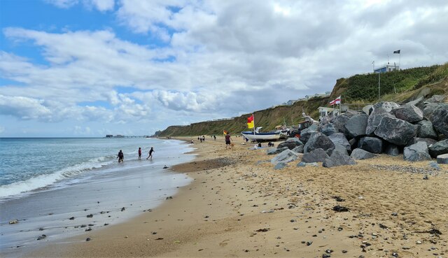
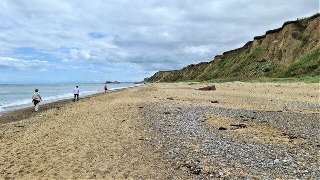
On the other hand, the Moorland region of Abb's Common is characterized by its marshy terrain and waterlogged areas. This section is home to a variety of wetland species, including rare birds, amphibians, and insects. It provides a vital habitat for many important species and plays a significant role in maintaining the region's biodiversity.
Abb's Common also boasts several walking trails and footpaths, allowing visitors to explore the area at their leisure. These trails are well-maintained and offer opportunities for spotting wildlife, including deer, rabbits, and a wide variety of bird species.
Overall, Abb's Common in Norfolk is a natural treasure that showcases the beauty and diversity of the English countryside. Its mix of Downs and Moorland landscapes, abundant wildlife, and peaceful atmosphere make it a must-visit destination for nature lovers and outdoor enthusiasts.
If you have any feedback on the listing, please let us know in the comments section below.
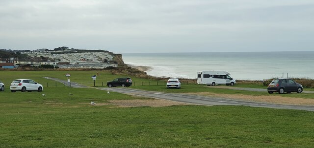
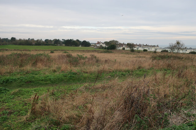
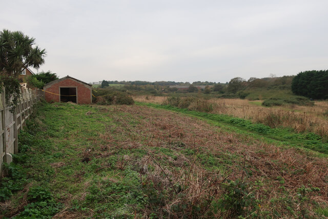
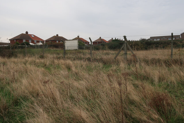
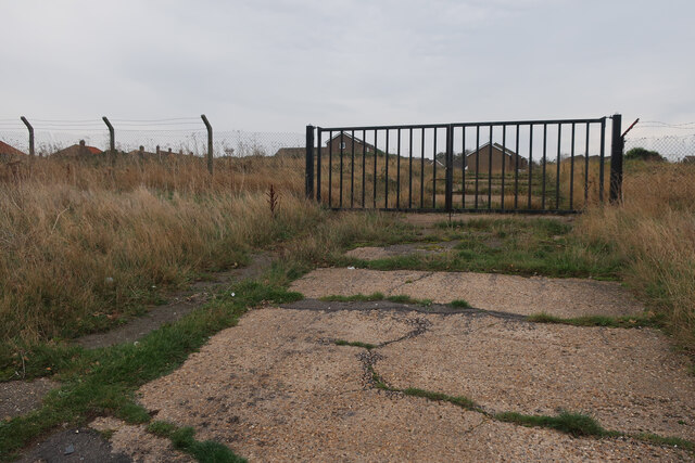
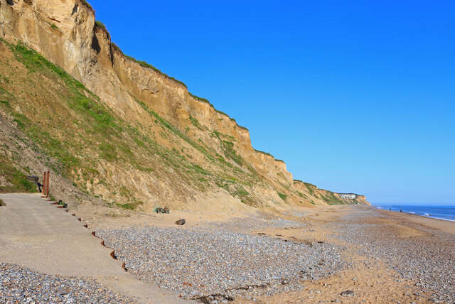
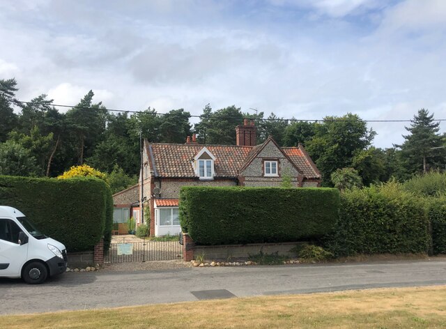
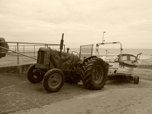
Abb's Common Images
Images are sourced within 2km of 52.928088/1.2627892 or Grid Reference TG1941. Thanks to Geograph Open Source API. All images are credited.


Abb's Common is located at Grid Ref: TG1941 (Lat: 52.928088, Lng: 1.2627892)
Administrative County: Norfolk
District: North Norfolk
Police Authority: Norfolk
What 3 Words
///kiosk.crusted.stylist. Near Cromer, Norfolk
Nearby Locations
Related Wikis
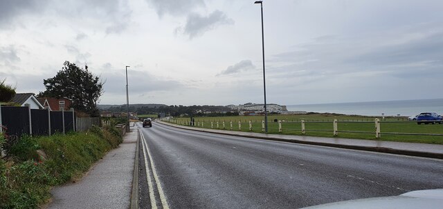
Beacon Hill, Norfolk
Beacon Hill is the highest point in the English county of Norfolk. The hill is located 0.75 miles (1.2 km) south of the village of West Runton on the North...

East Runton Windmill
East Runton Windmill is a grade II listed tower mill at East Runton, Norfolk, England which has been converted to residential accommodation. == History... ==

Runton
Runton is a civil parish in the English county of Norfolk consisting of the villages of East Runton and West Runton. It covers an area of 5.44 km2 (2.10...

East Runton Cliffs
East Runton Cliffs is a 20.6-hectare (51-acre) geological Site of Special Scientific Interest west of Cromer in Norfolk. It is a Geological Conservation...

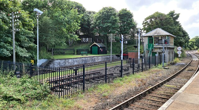
West Runton railway station
West Runton railway station is on the Bittern Line in Norfolk, England, serving the village of West Runton. It is 28 miles 55 chains (46.2 km) down the...

West Runton Mammoth
The West Runton Mammoth is a fossilized skeleton of a steppe mammoth (Mammuthus trogontherii) found in the cliffs of West Runton in the county of Norfolk...
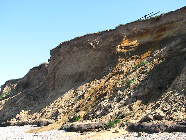
West Runton Cliffs
West Runton Cliffs is a 17.8-hectare (44-acre) geological Site of Special Scientific Interest east of Sheringham in Norfolk. It is a Geological Conservation...
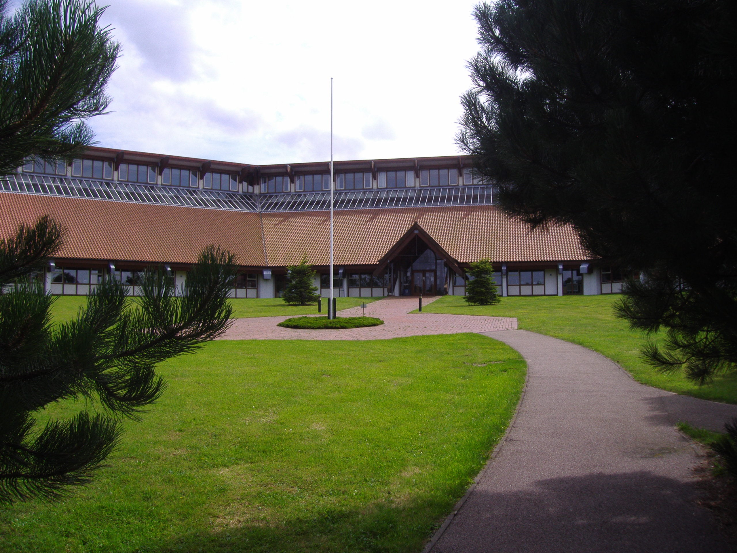
North Norfolk District Council Headquarters
North Norfolk District Council Headquarters is located in Holt road in a prominent position south of the town of Cromer in the English county of Norfolk...
Related Videos
Walking At East Runton 21 June 2022
Walking along the Norfolk coast and passing East Runton in the early morning on the longest day of the year..


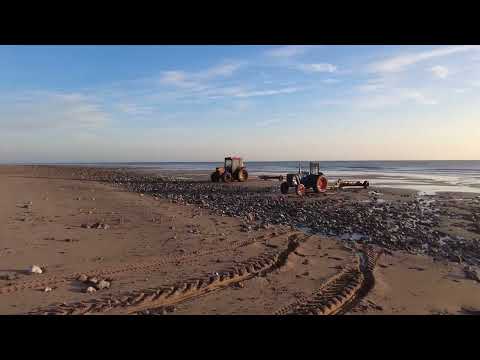
Seacroft C&M Clubsite | Day 1 Beach Walk.
Day 1 We take Skye to her favourite location for a lovely beach walk into Cromer.
Nearby Amenities
Located within 500m of 52.928088,1.2627892Have you been to Abb's Common?
Leave your review of Abb's Common below (or comments, questions and feedback).